Trail Overview
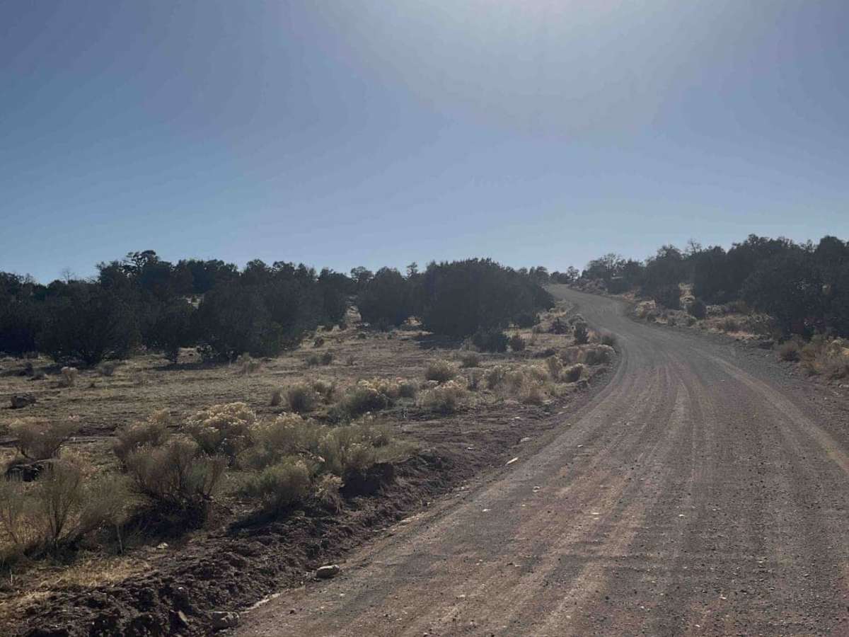
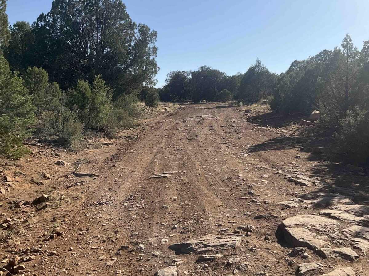
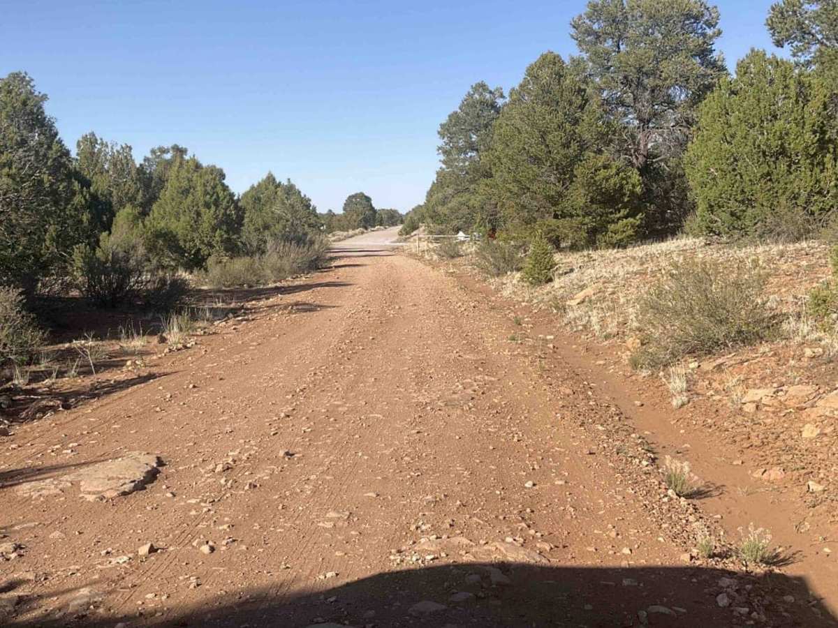
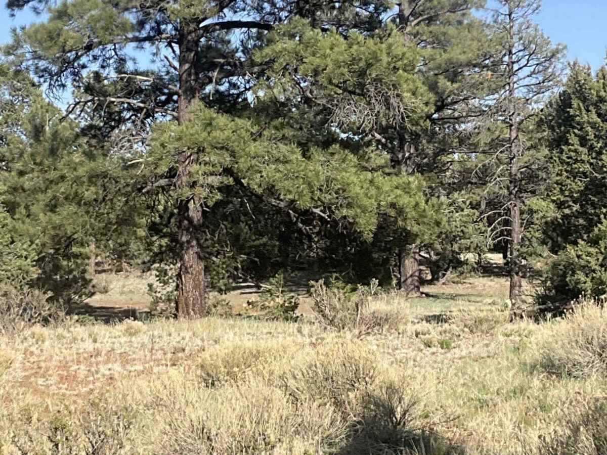
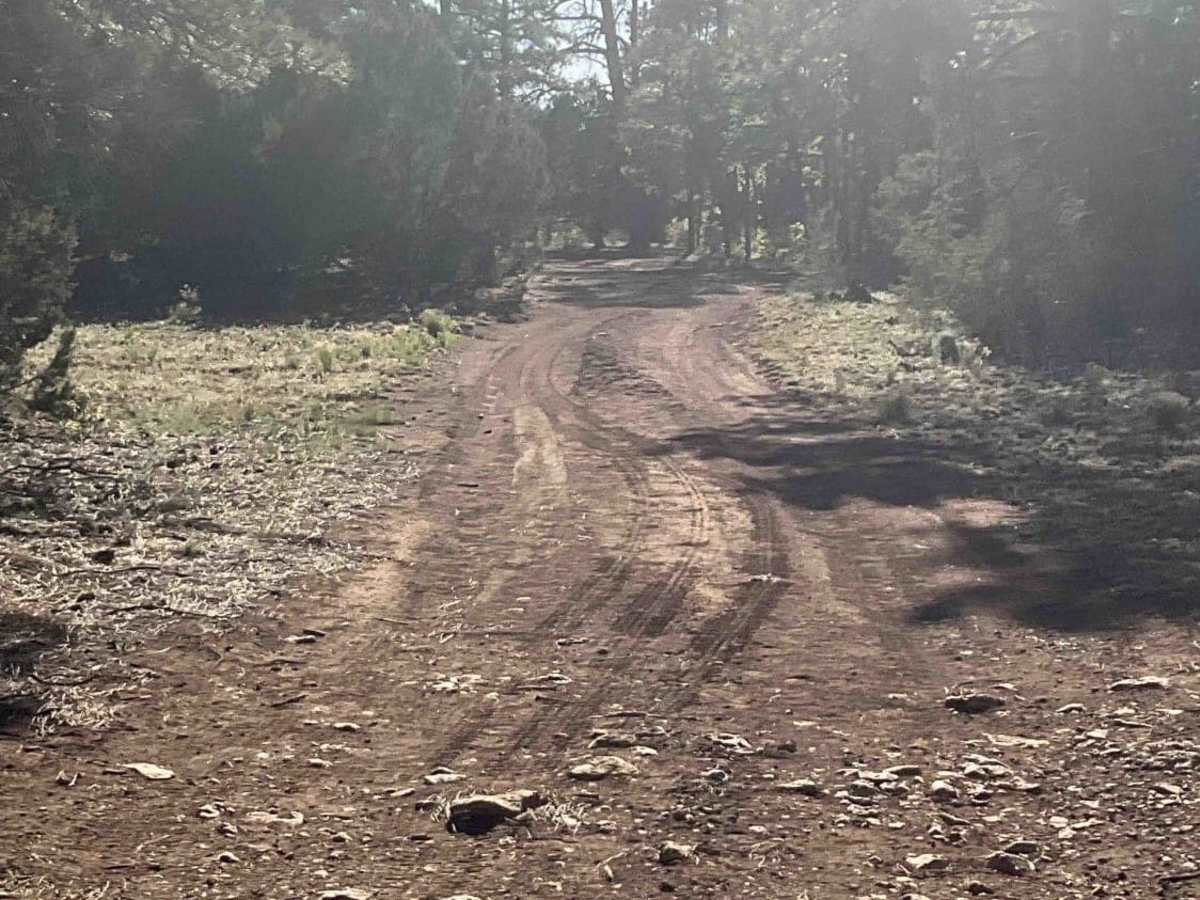
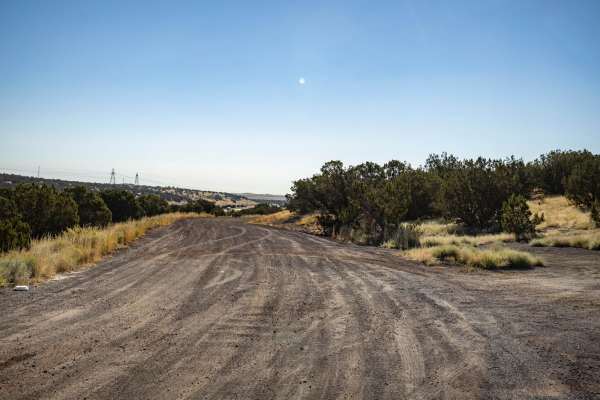
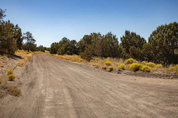
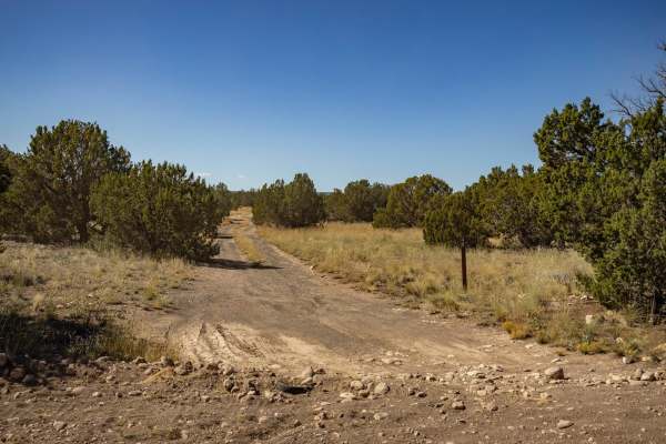
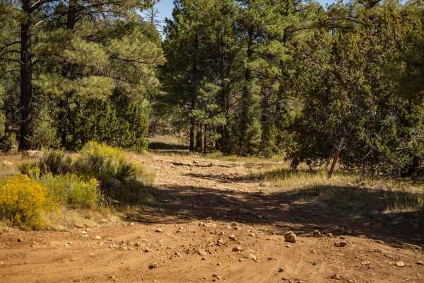
Marshall Lake Road is an excellent, scenic point-to-point route for beginners and intermediate offroaders looking to explore the transition from high-elevation ponderosa pine forests to the rugged high desert plains east of Flagstaff. Stretching approximately 13.8 miles, this trail climbs from an elevation of 6,270 feet near Interstate 40 up to 7,150 feet on Anderson Mesa, providing panoramic views of the San Francisco Peaks and the surrounding cinder cones. The drive starts out relatively easy on paved and chip-seal surfaces before transitioning into bumpy, washboard red dirt, which eventually becomes a slow, rocky trail requiring drivers to air down for comfort. High-clearance four-wheel-drive vehicles, SxSs, and dual-sport motorcycles will find the journey highly enjoyable, though drivers should be prepared for slow speeds due to embedded rocks and occasional deep ruts along the climb.
As you traverse the route, you will find numerous dispersed camping spots and offshoot trails perfect for extending your adventure, particularly near the scenic Marshall Lake area on the western end. While the route is not highly technical and lacks major off-camber sections or deep water crossings, the rocky nature of the road requires patience and careful tire placement. Keep an eye out for local wildlife, including elk and mule deer, as well as horseback riders and other recreationists sharing the trail. The road is typically accessible from late spring through late fall, but winter snow and muddy spring conditions can make the clay-rich soils on the mesa extremely slick and impassable, making seasonal awareness essential.
Access Description
Located within the Coconino National Forest, this route does not require a permit or fee for general driving or dispersed camping. The trail is subject to seasonal winter closures due to heavy snow and muddy conditions on Anderson Mesa. High-clearance vehicles are recommended, and four-wheel-drive is highly beneficial for navigating the rockier sections.

 Offroad