
Beginner Off-Road Trails
Near Searchlight, Nevada
Explore All Beginner Trails Near Searchlight, Nevada
Beginner Off-Road Trails Near Searchlight, Nevada
Discover the best beginner-friendly off-road trails near you. These easier, lower-rated trails are a great place to start — browse trail maps, check difficulty ratings, and find your next adventure.
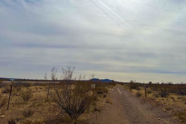
A Mine Runs Through It
This trail winds through an area rich in mining history, offering a glimpse into the region's past while providing an enjoyable off-road experience. The route is mostly easygoing, with a few short but rocky climbs to keep things interesting. While the trail itself is open for travel, a private easem...
Learn more about A Mine Runs Through It
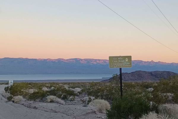
Six Mile Cove Road
Six Mile Cove Road offers a straightforward and scenic desert drive down to the shores of Lake Mohave, making it a perfect escape for paddleboarders, campers, and offroaders looking for easy access to the water. Spanning approximately 6.6 miles, this route gently descends from an elevation of 2,117 ...
Learn more about Six Mile Cove Road
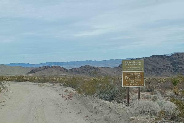
Rockefeller Mine Road
Rockefeller Mine Road offers a scenic and approachable desert trek for high-clearance four-wheel-drive vehicles and SxSs looking to explore the rugged beauty between Lake Mead National Recreation Area and Bureau of Land Management lands. Spanning approximately 10.4 miles, this route winds through a ...
Learn more about Rockefeller Mine Road
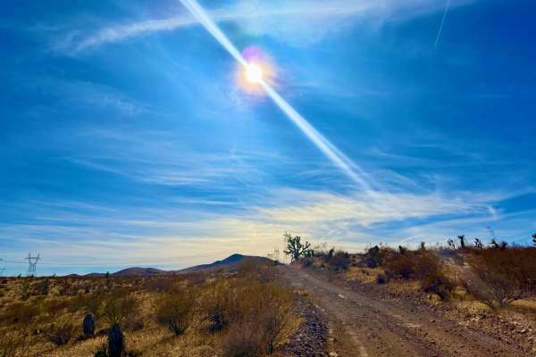
Camino De Flora Road of the Flowers
This trail is a must-ride in the spring when the desert comes to life with an abundance of vibrant flora. Winding through a stunning and unique section of BLM land, it offers breathtaking views of seasonal wildflowers and rugged desert landscapes. Along the way, a few short but steep climbs add a bi...
Learn more about Camino De Flora Road of the Flowers
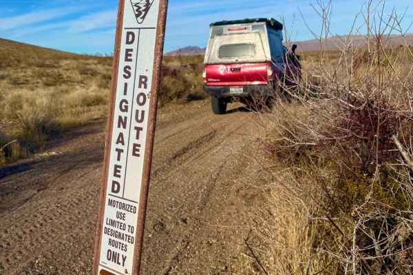
Washout Way
Washout way is a thrilling mix of soft, flowing sand and rugged rock gardens that will test both speed and skill. The trail starts with a winding sandy wash, where you can pick up momentum and enjoy a smooth ride--until the terrain changes. As you progress, scattered boulders and rocky sections dema...
Learn more about Washout Way
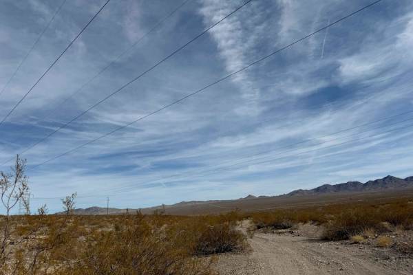
Petro Ranch Road
Petro Ranch Road is a narrow, one-lane gravel route that follows a gas pipeline, leading to an abandoned ranch outpost and a long-dried-up spring. While the trail is fairly straightforward, it presents a few challenges along the way. Multiple washouts- approximately two feet across and two feet deep...
Learn more about Petro Ranch Road
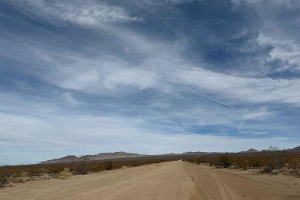
Nelson Cutoff Road
Nelson Cutoff Road is a well-maintained, two-lane gravel haul road that serves as a primary access route through the desert. With zero technical difficulty, this road is ideal for quickly traversing the area and connecting to other trails. However, be aware that large semis frequently use this route...
Learn more about Nelson Cutoff Road
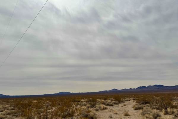
Chilly Willy
Chilly Willy is an easygoing, sandy route with mild washboard sections that make for a bumpy but manageable ride. However, be aware of a developing erosion area where the trail is beginning to wash out. While still passable, this section may require careful navigation, especially after storms. Airin...
Learn more about Chilly Willy
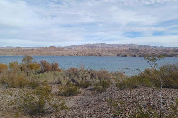
Opal Mountain Road
Opal Mountain Road drives through the Lake Mead National Recreation Area. This area is a limited-use area, and camping is only allowed in approved areas. Offroad use is not allowed unless on a designated route. This road is an easy road mixed with sand, gravel, and loose rock. Some sections have dee...
Learn more about Opal Mountain Road
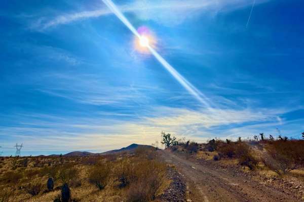
Power Run Road
This powerline road serves as a great starting point for accessing the area, offering a well-maintained gravel surface with easy access to ample camping spots. At first, it feels like the perfect go-fast gravel road, but as you get comfortable, be mindful--hidden water bars can suddenly appear, espe...
Learn more about Power Run Road

Old Two Track Way
This old, seldom-used two-track trail is best suited for dirt bikes and SXSs due to its narrow and winding nature. The route weaves through tight foliage, sandy bottoms, and remnants of long-forgotten washboard sections, offering a mix of technical and flowing terrain. Finding the trailhead can be t...
Learn more about Old Two Track Way
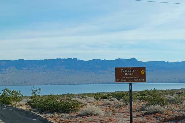
Tamarisk Road
Tamarisk Road is an easy, scenic 2.5-mile route in the Lake Mead National Recreation Area that is perfect for beginners, four-wheel-drive vehicles, and SxSs looking for a direct path to the shores of Lake Mohave. Branching east off the Mead-Davis Powerline Road, this trail descends just over 660 fee...
Learn more about Tamarisk Road
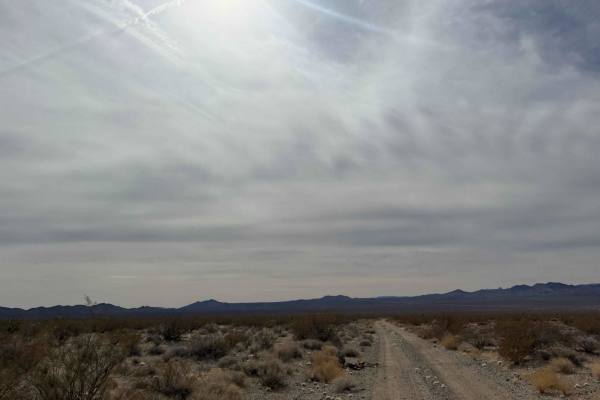
Wash and Roll
Wash and Roll is a sandy, bumpy stretch of trail that lives up to its name. This route is packed with relentless washboard sections that will put your suspension to the test. While generally easy to navigate, the constant vibrations can make for a rough ride, so airing down is recommended for a smoo...
Learn more about Wash and Roll
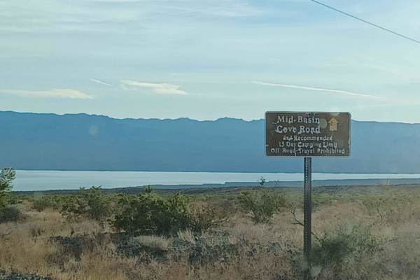
Mid Basin Cove
Mid Basin Cove is an easy 3.6-mile trek ideal for beginners, families, and offroaders looking for a scenic drive down to the shores of Lake Mohave in the Lake Mead National Recreation Area. This route gradually descends about 818 feet from an elevation of 1,475 feet down to 657 feet at the water’s e...
Learn more about Mid Basin Cove
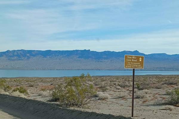
Nine Mile Cove Road
Nine Mile Cove Road runs through Lake Mead National Recreation Area. This area is a limited-use area, and camping is only allowed in approved areas. Offroad use is not allowed unless on a designated route. It is an easy road but can be loose sand in sections. 4x4 is recommended. In the rainy season,...
Learn more about Nine Mile Cove Road
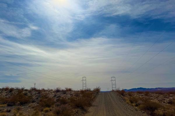
Lil Short One
This super-smooth powerline connector is a fast and well-maintained route, perfect for covering ground quickly. With a solid roadbed, it's an ideal stretch for those looking to pick up speed. However, keep an eye out for water bars scattered along the way--they can sneak up on you, especially at hig...
Learn more about Lil Short One
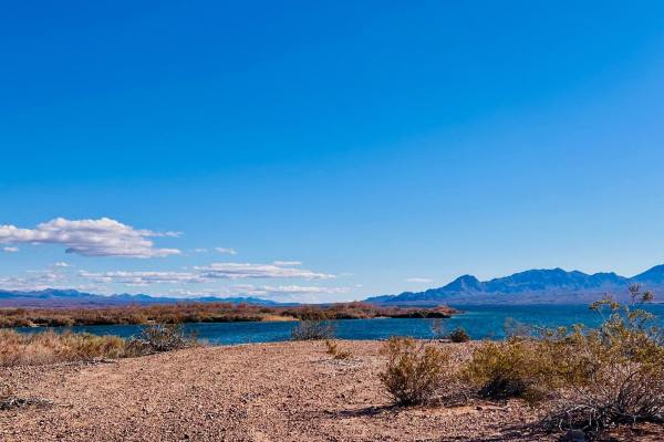
Airport Cove Loop
This short out-and-back trail picks up off the end of Willow Cove Trail. This trail leads to several dispersed campsites and access to Lake Mojave. This trail is a one-lane road specified by a sign on the way in. It is rated a two because the trail is only one car wide. Oncoming vehicles would have ...
Learn more about Airport Cove Loop
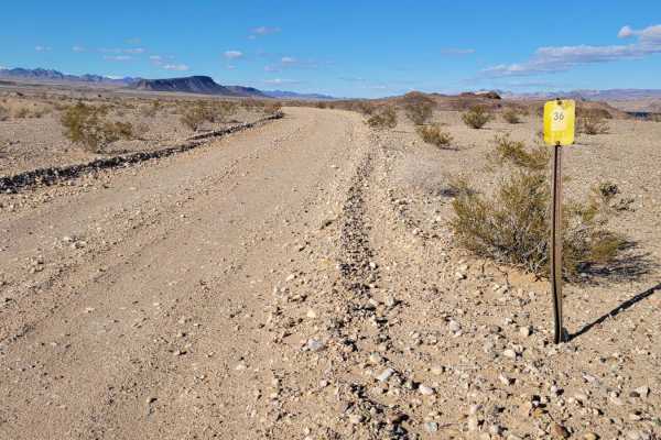
CC East Primitive Road North - 36
This track is the northern portion of road "CC East Primitive" (36), which leads northward up to the peninsula. The trail is an easy dirt road with nothing of difficulty to note. The trail sign mentions "4x4 Recommended," but this could be as a "just in case" for the remote location. The eastern sid...
Learn more about CC East Primitive Road North - 36
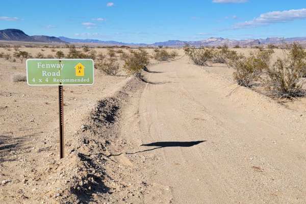
Fenway Road - 36
Fenway Road (trail number 36) is an out-and-back trail that leads to the water's edge of Arizona Bay. It's an easy dirt road up until the very last section to get to the water, at which time it becomes deep sand through the vegetation and the beach. The vegetation section is more narrow and could br...
Learn more about Fenway Road - 36
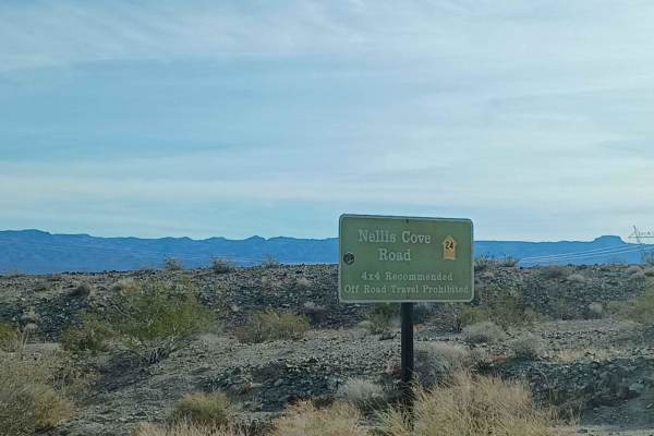
Nellis Cove Road
Nellis Cove Road is a scenic, unpaved backcountry route in Lake Mead National Recreation Area, ideal for high-clearance four-wheel-drive vehicles looking to reach a secluded beach on Lake Mohave. Spanning approximately 2.5 miles, this easy-rated trail descends from an elevation of about 1,290 feet d...
Learn more about Nellis Cove Road
Beginner ATV trails near Searchlight, Nevada
Explore ATV-friendly trails near you. These trails are accessible for vehicles up to 50 inches wide, perfect for ATVs and smaller off-road machines.
A Mine Runs Through It
This trail winds through an area rich in mining history, offering a glimpse into the region's past while providing an enjoyable off-road experience. The route is mostly easygoing, with a few short but rocky climbs to keep things interesting. While the trail itself is open for travel, a private easem...
Learn more about A Mine Runs Through It
Six Mile Cove Road
Six Mile Cove Road offers a straightforward and scenic desert drive down to the shores of Lake Mohave, making it a perfect escape for paddleboarders, campers, and offroaders looking for easy access to the water. Spanning approximately 6.6 miles, this route gently descends from an elevation of 2,117 ...
Learn more about Six Mile Cove Road
Rockefeller Mine Road
Rockefeller Mine Road offers a scenic and approachable desert trek for high-clearance four-wheel-drive vehicles and SxSs looking to explore the rugged beauty between Lake Mead National Recreation Area and Bureau of Land Management lands. Spanning approximately 10.4 miles, this route winds through a ...
Learn more about Rockefeller Mine Road
Camino De Flora Road of the Flowers
This trail is a must-ride in the spring when the desert comes to life with an abundance of vibrant flora. Winding through a stunning and unique section of BLM land, it offers breathtaking views of seasonal wildflowers and rugged desert landscapes. Along the way, a few short but steep climbs add a bi...
Learn more about Camino De Flora Road of the Flowers
Beginner UTV/side-by-side trails near Searchlight, Nevada
Find UTV and side-by-side trails near you. These trails accommodate vehicles up to 60 inches wide, ideal for UTVs, side-by-sides, and wider off-road rigs.
A Mine Runs Through It
This trail winds through an area rich in mining history, offering a glimpse into the region's past while providing an enjoyable off-road experience. The route is mostly easygoing, with a few short but rocky climbs to keep things interesting. While the trail itself is open for travel, a private easem...
Learn more about A Mine Runs Through It
Six Mile Cove Road
Six Mile Cove Road offers a straightforward and scenic desert drive down to the shores of Lake Mohave, making it a perfect escape for paddleboarders, campers, and offroaders looking for easy access to the water. Spanning approximately 6.6 miles, this route gently descends from an elevation of 2,117 ...
Learn more about Six Mile Cove Road
Rockefeller Mine Road
Rockefeller Mine Road offers a scenic and approachable desert trek for high-clearance four-wheel-drive vehicles and SxSs looking to explore the rugged beauty between Lake Mead National Recreation Area and Bureau of Land Management lands. Spanning approximately 10.4 miles, this route winds through a ...
Learn more about Rockefeller Mine Road
Camino De Flora Road of the Flowers
This trail is a must-ride in the spring when the desert comes to life with an abundance of vibrant flora. Winding through a stunning and unique section of BLM land, it offers breathtaking views of seasonal wildflowers and rugged desert landscapes. Along the way, a few short but steep climbs add a bi...
Learn more about Camino De Flora Road of the Flowers
The onX Offroad Difference
onX Offroad combines trail photos, descriptions, difficulty ratings, width restrictions, seasonality, and more in a user-friendly interface. Available on all devices, with offline access and full compatibility with CarPlay and Android Auto. Discover what you're missing today!
Open Trail Map