Trail Overview
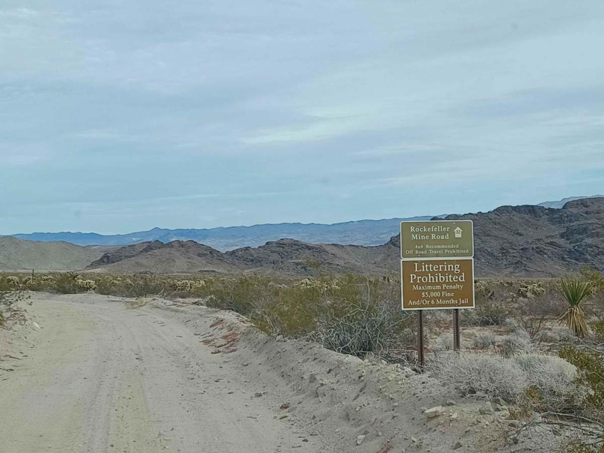
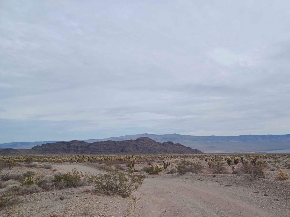
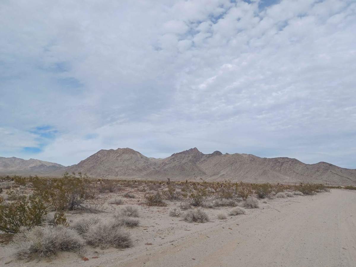
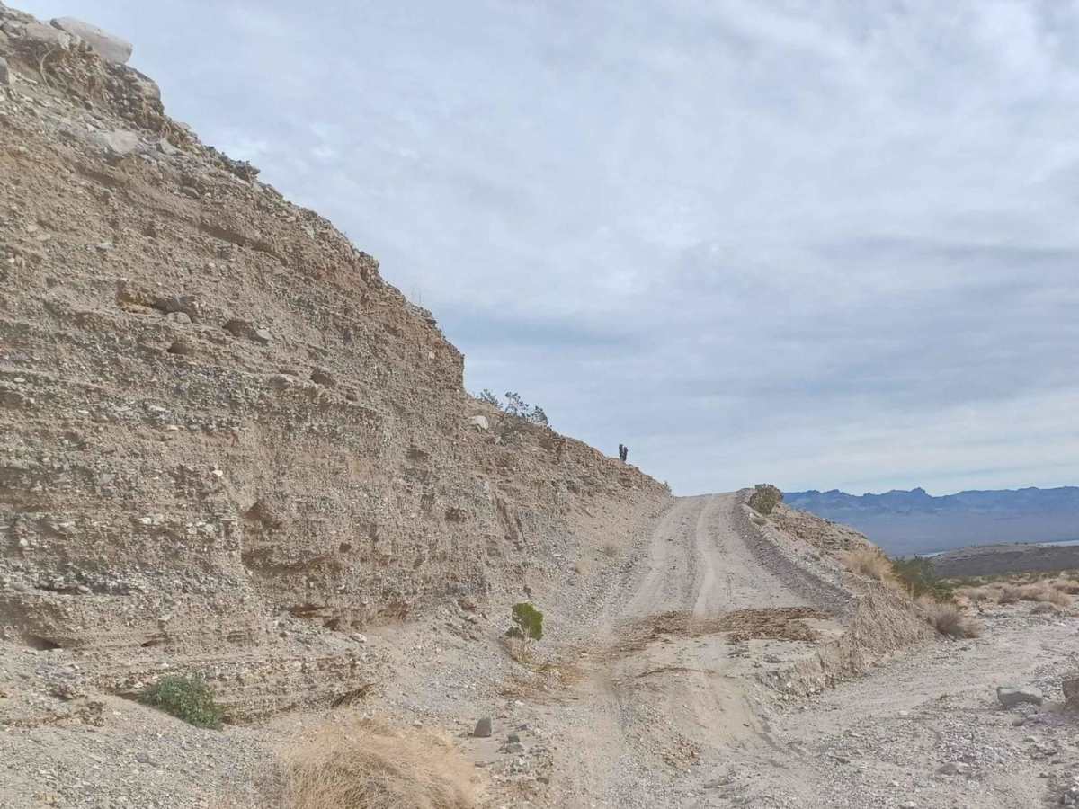
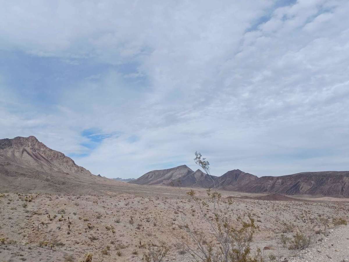
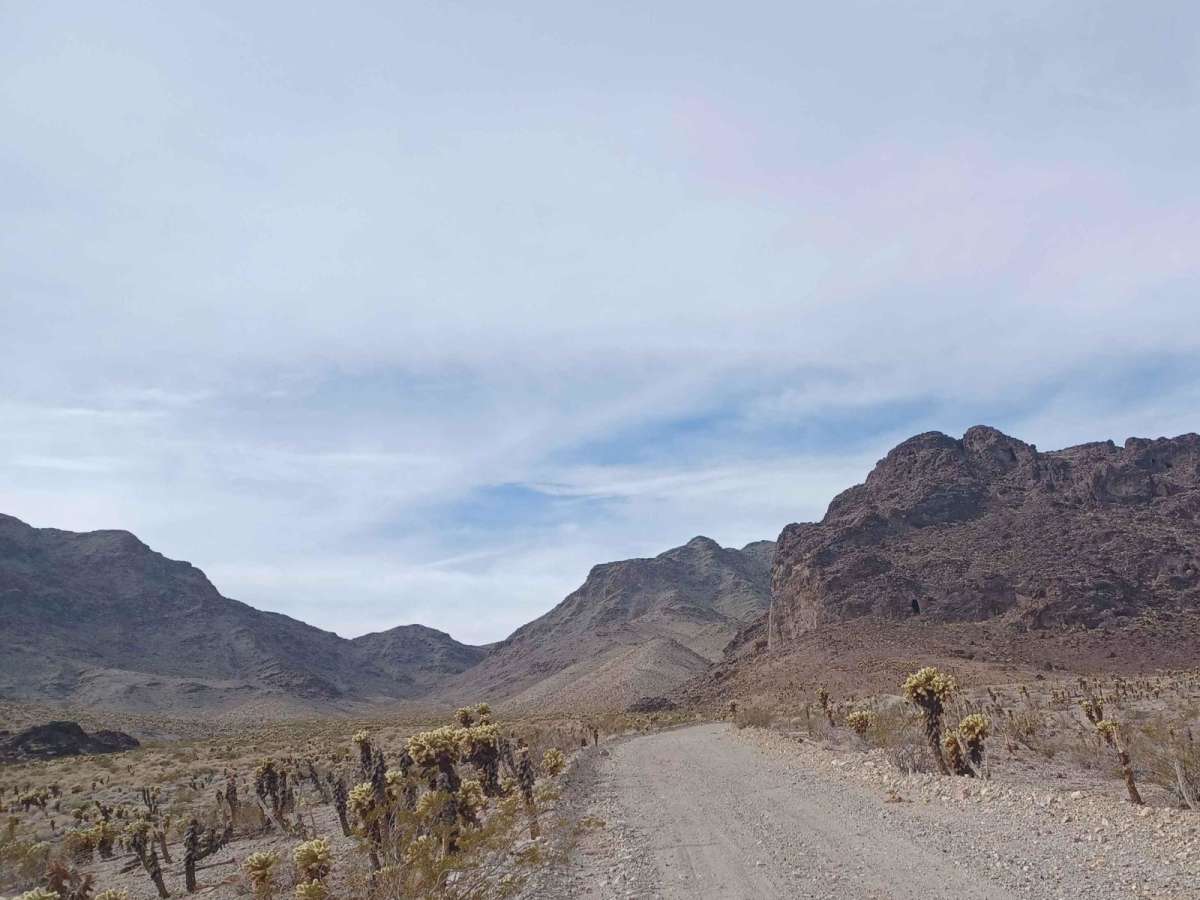
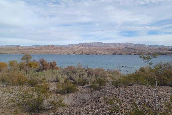
Rockefeller Mine Road offers a scenic and approachable desert trek for high-clearance four-wheel-drive vehicles and SxSs looking to explore the rugged beauty between Lake Mead National Recreation Area and Bureau of Land Management lands. Spanning approximately 10.4 miles, this route winds through a dramatic landscape of towering mountains and distant river views, climbing from an elevation of 1,130 feet up to 1,985 feet. The trail surface consists of a mixed blend of loose gravel, deep sand, and rocky sections as it traces the eastern base of Copper Mountain. Drivers will navigate mild elevation changes with a total gain of around 970 feet, making it an engaging drive without requiring extreme technical rock crawling.
Starting from the paved Eldorado Canyon Road, the trail heads north into a limited-use area where off-road travel is strictly restricted to designated routes, and camping is permitted only in approved sites. Along the way, several historic abandoned mines dot the landscape, offering a glimpse into Nevada’s rich mining history; however, these structures are highly unstable and must only be viewed from a safe distance. The route features sandy wash crossings that can quickly flood during inclement weather, so it is highly advised to avoid this area when rain is in the forecast. The trail ends abruptly at a well-marked private property boundary, requiring visitors to turn around and respect the posted no-trespassing signs.
Difficulty
Sandy in sections, the possibility for water crossing and mud. Advised not to do this road in bad weather, as you can find yourself in a flash flood.
History
The trail passes near historic mining operations around Copper Mountain, including the Rockefeller Mine. Visitors should enjoy these historic sites from a distance, as old shafts and structures are extremely unstable and unsafe to enter.
Access Description
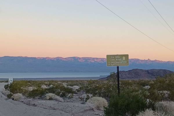
The route runs through both Lake Mead National Recreation Area and Bureau of Land Management lands, which are designated as limited-use areas where off-road travel is restricted to designated routes. Dispersed camping is only permitted in approved areas. The trail terminates at a private property boundary; respect all posted signs and do not trespass. Avoid the area during wet weather due to severe flash flood hazards in sandy washes.