
Beginner Off-Road Trails
Near Roopville, Georgia
Explore All Beginner Trails Near Roopville, Georgia
Beginner Off-Road Trails Near Roopville, Georgia
Discover the best beginner-friendly off-road trails near you. These easier, lower-rated trails are a great place to start — browse trail maps, check difficulty ratings, and find your next adventure.
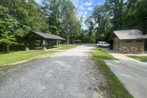
Dean Road
Located along the scenic Chattahoochee River in Heard County, Bush Head Shoals Access Park offers visitors a peaceful retreat into nature with a variety of outdoor amenities. The park features a well-maintained, easy gravel trail that follows an out-and-back route. Multiple parking areas provide co...
Learn more about Dean Road
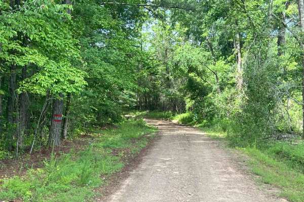
Edwards Road
Located near Franklin, Georgia, in Heard County, this rural county-maintained road is one of the West Point Wildlife Management Area (WMA) entrances. While publicly accessible, it is not a priority route for resurfacing and can become challenging during or after wet weather. Roughly 300 yards from G...
Learn more about Edwards Road
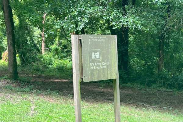
South River Road
Located near Franklin, Georgia, in Heard County, this road is part of the West Point Wildlife Management Area (WMA). It is primarily a single-lane dirt road with minor washouts and optional muddy or water-filled sections, suitable for higher-clearance vehicles or off-road exploration. Roughly 300 ya...
Learn more about South River Road
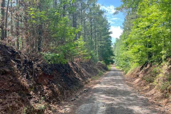
Pike Road
Located near Franklin, Georgia, in Heard County, this .6 miles of rural, county-maintained road serves as one of the entrances to the West Point Wildlife Management Area (WMA), which continues for 3.2 additional miles. Though publicly accessible, it is not a priority for resurfacing and can become c...
Learn more about Pike Road
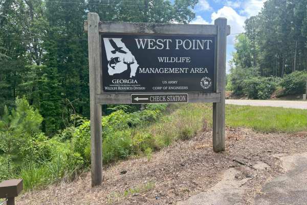
Whitley Road
Located just north of LaGrange, Georgia, in Troup County, this road serves as one of the western entrances to the West Point Wildlife Management Area (WMA), situated on the west side of West Point Lake. This is an out-and-back road, meaning you'll need to turn around and exit the way you came in. Th...
Learn more about Whitley Road
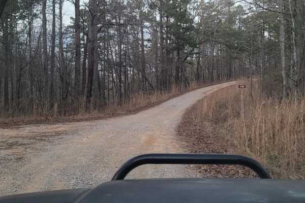
USFSR #548 (South)
USFSR #548 (South) is a beginner-friendly, 7.6-mile point-to-point offroad trail located in the Shoal Creek District of the Talladega National Forest, offering a scenic drive through the Choccolocco Wildlife Management Area. Perfect for stock four-wheel-drive vehicles, SxSs, and offroad novices, thi...
Learn more about USFSR #548 (South)
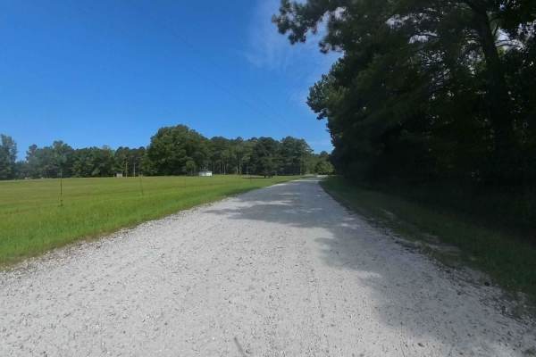
Bishop Road
This is a county-maintained road, primarily gravel with some dirt sections where washouts have occurred. The north side of Bishop Road off of Strickland Town Road is an out-and-back with a small turnaround in a private driveway. The south side continues to other roads. The road is generally smooth ...
Learn more about Bishop Road

Tow Strap
Tow Strap is an access trail that poses no real challenges, as it is passable in almost all vehicles. It is also wide enough for two vehicles to pass each other. Tow Strap gives access to a plethora of trails such as Green Horn, Sunday Drive, Rock and Roll, Loop Springs, and more.
Learn more about Tow Strap
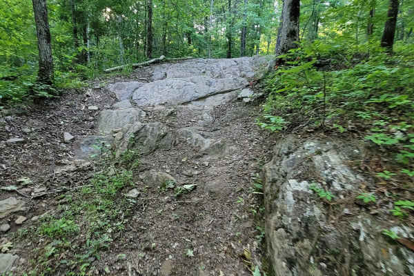
Crow's Nest Bypass
Crow's Nest Bypass is the trail for those who want to take a stock 4WD vehicle with some friends who are on built rigs, but still want to have some fun without having to backtrack around Tow Strap. This trail is very similar in design to Stairway to Heflin, but much more mild. It still features a st...
Learn more about Crow's Nest Bypass

Angry Wife
Angry Wife is an easy-access trail that starts at the end of Morris Code and ends mid-way through of Los Primos. At the very end, it does not connect at the midway point of Los Primos but rather gives a small flat overlook. This trail has clearly had some fun on it, with scattered children's toys fr...
Learn more about Angry Wife
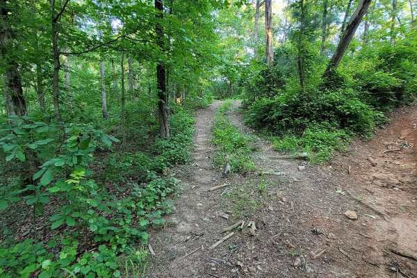
The Breeze
The Breeze is an easy-access trail that starts on Booze Cruise and ends at the deep dog leg turn at the top of Loop Springs. This trail is literally a breeze, as it is a straight, flat shot that has no obstacles, has a large turn-around spot at the top, and gives an easy exit from Rock and Roll and ...
Learn more about The Breeze
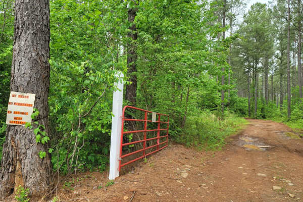
Flat Access
While Flat Access is not so flat, that does not mean it's any less adventurous. Flat Access is one of a few primary trails that will take you to the more challenging trails Morris Mountain ORV Park has to offer. Flat Access begins at Campground Road and ends running parallel to Punisher. This trail ...
Learn more about Flat Access

Fishhead Valley
Fishhead Valley is a short and eroded access trail that begins on Morris Code near Booze Cruise and ends at the base of some of the most well-known trails Morris Mountain ORV has to offer, such as RBD and Mall Crawl. At the entrance, it presents the common Alabama red clay and pine straw. Once you g...
Learn more about Fishhead Valley
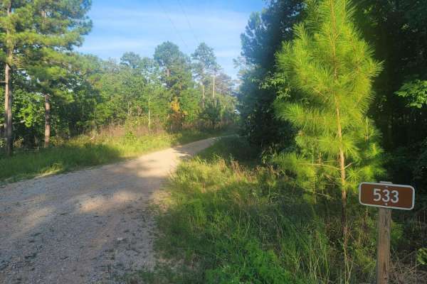
533 - Vaughn Road
533 - Vaughn Road is a lesser-known road that leads into the Shoal Creek District of the Talladega National Forest and leads to Forest Service RD (FSR) 500, which is the primary road in and out of the Management Area. This gated road is normally an open road and eventually lands in the small town of...
Learn more about 533 - Vaughn Road
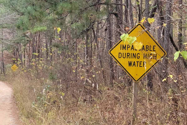
USFSR #531
USFSR #531 is a dirt and gravel mixed trail that starts at USFSR #500 and ends at USFSR #548 of the southern half. It intersects USFSR #500 again in the middle of the trail. It is a beautiful, scenic ride with a bridge crossing in the lower elevation part of the trail. This section is impassable dur...
Learn more about USFSR #531

GBU Bypass
There is no shame in taking the GBU Bypass! GBU can be a difficult trail, even when taking the good line. Take this trail if you want to sit back and have a relaxing afternoon and watch everyone else beat on their rigs. This trail takes you to another section of Flat Access where a large flat exists...
Learn more about GBU Bypass

Still Hill Access
Still Hill Access is a trail that runs parallel to the mountain rather than perpendicular to Still Hill, which is one of the most popular rock crawler trails Morris Mountain ORV has to offer. It has a steep descent to the base of Still Hill and climbs back out; it's a smooth access trail that can be...
Learn more about Still Hill Access

Two High
Two High is an easy, hard-packed trail that would be suitable for--you guessed it--vehicles that are even 2WD. This is the flattest, smoothest route to reach the top of Flat Access where all the action trails really end. Getting a late start on the day and want to find the rest of your crew? You can...
Learn more about Two High
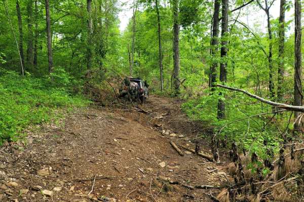
Beer Store
Beer Store is a great trail to cruise on. There are no real difficulties on this trail unless there is a random tree limb down. This hard-packed track features dirt, loose rock, and sometimes water runoff forming a small creek. Beer Store begins at Flat Access and ends at Rally Run. During the sprin...
Learn more about Beer Store
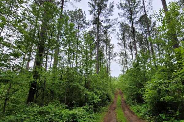
Tiny Nipples
Tiny Nipples is another easy track to linger around and enjoy nature for those who do not want to risk breaking something or are early in their vehicle build. This trail only features one obstacle, which is a small hard-bottomed mud hole. The rest of the trail is hard-packed dirt with long runways.
Learn more about Tiny Nipples
Beginner ATV trails near Roopville, Georgia
Explore ATV-friendly trails near you. These trails are accessible for vehicles up to 50 inches wide, perfect for ATVs and smaller off-road machines.
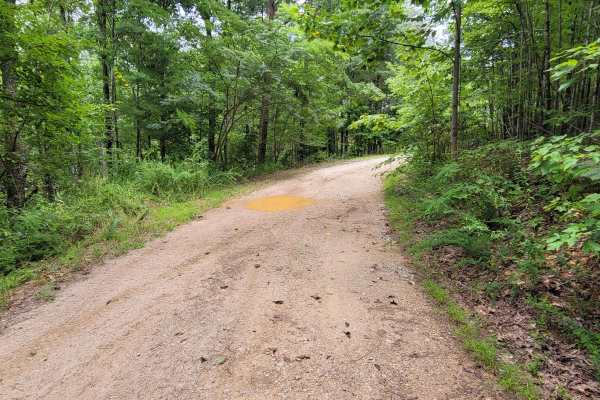
USFSR #644 Kentuck Mtwy
USFSR #644 Kentuck Mtwy is an easy, scenic 4.7-mile ridge-top dirt route in the Talladega National Forest perfect for beginners, stock four-wheel-drive vehicles, and families seeking a relaxed drive. Starting on the eastern end at Kentuck Road, this well-maintained forest service road traverses the ...
Learn more about USFSR #644 Kentuck Mtwy
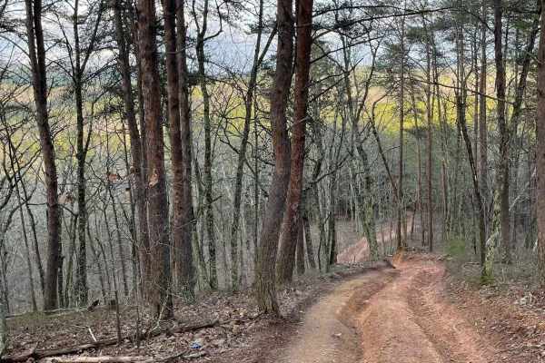
9
Trail 9 is an easy trail that will connect you to trails 16, 11, and 10. Only two-wheel drive is needed. It goes right past the famous Foxes Hollow trail, which can be a challenge at times. It's often a hangout at nighttime. This is a fun and easy connector trail for most.
Learn more about 9
16
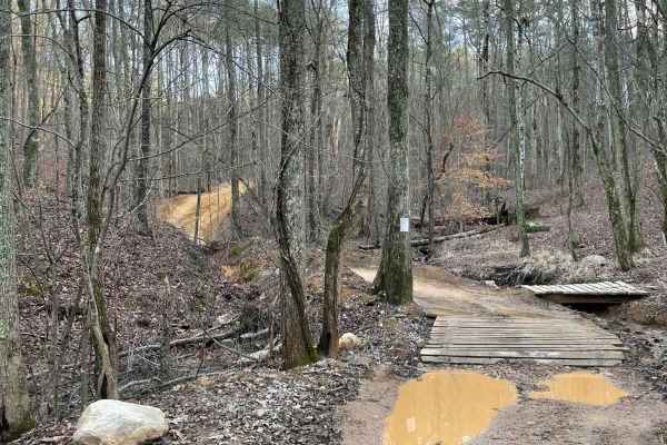
This is the main connecting trail that will take you from the dam and wind through the woods. You'll go past the entrance to Trail 6, Trail 15, and Foxes Hollow and end up at the powerlines, which is a very popular spot to hang out. The trail has a couple of small one-lane bridges to cross.
Learn more about 16
Trail 8
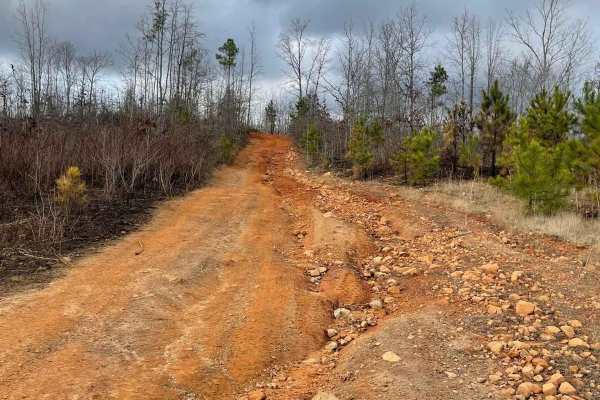
Trail 8 is a shortcut trail that crosses a ridge. It starts at both ends of Trail 12 and leads to the top of Kiley's Crawl and Booger Holler. You can drive it in any vehicle in 2WD. It takes you to the top of Paycheck Holler and allows two-way traffic. Watch out for riders.
Learn more about Trail 8
Beginner UTV/side-by-side trails near Roopville, Georgia
Find UTV and side-by-side trails near you. These trails accommodate vehicles up to 60 inches wide, ideal for UTVs, side-by-sides, and wider off-road rigs.
Tow Strap
Tow Strap is an access trail that poses no real challenges, as it is passable in almost all vehicles. It is also wide enough for two vehicles to pass each other. Tow Strap gives access to a plethora of trails such as Green Horn, Sunday Drive, Rock and Roll, Loop Springs, and more.
Learn more about Tow Strap
Crow's Nest Bypass
Crow's Nest Bypass is the trail for those who want to take a stock 4WD vehicle with some friends who are on built rigs, but still want to have some fun without having to backtrack around Tow Strap. This trail is very similar in design to Stairway to Heflin, but much more mild. It still features a st...
Learn more about Crow's Nest Bypass
The Breeze
The Breeze is an easy-access trail that starts on Booze Cruise and ends at the deep dog leg turn at the top of Loop Springs. This trail is literally a breeze, as it is a straight, flat shot that has no obstacles, has a large turn-around spot at the top, and gives an easy exit from Rock and Roll and ...
Learn more about The Breeze
Flat Access
While Flat Access is not so flat, that does not mean it's any less adventurous. Flat Access is one of a few primary trails that will take you to the more challenging trails Morris Mountain ORV Park has to offer. Flat Access begins at Campground Road and ends running parallel to Punisher. This trail ...
Learn more about Flat Access
The onX Offroad Difference
onX Offroad combines trail photos, descriptions, difficulty ratings, width restrictions, seasonality, and more in a user-friendly interface. Available on all devices, with offline access and full compatibility with CarPlay and Android Auto. Discover what you're missing today!
Open Trail Map