
Beginner Off-Road Trails
Near Rehobeth, Alabama
Explore All Beginner Trails Near Rehobeth, Alabama
Beginner Off-Road Trails Near Rehobeth, Alabama
Discover the best beginner-friendly off-road trails near you. These easier, lower-rated trails are a great place to start — browse trail maps, check difficulty ratings, and find your next adventure.
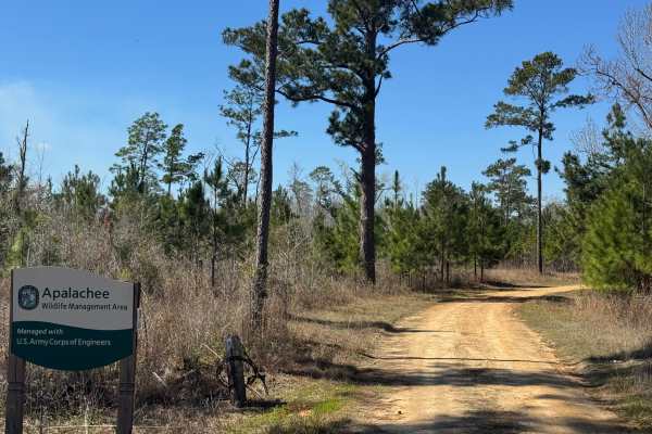
Rock Pond Road
Rock Pond Road winds through the northern part of Section A of the Apalachee WMA. Unlike other roads through the Apalachee WMA, Rock Pond Road is generally open year-round outside of defined game hunting periods. Rock Pond Road is a relatively flat, packed dirt trail with several soft areas that wil...
Learn more about Rock Pond Road
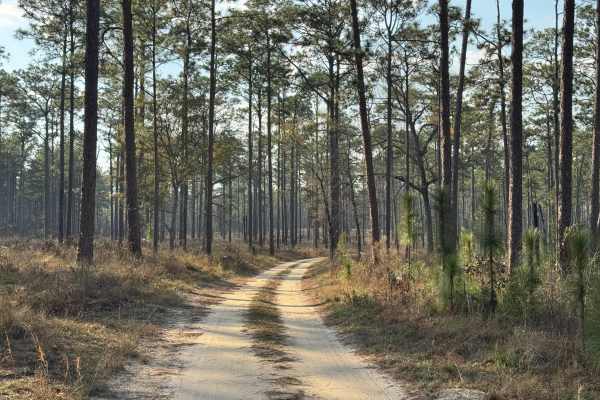
Lake Lane
Lake Lane is the primary entrance into the western section of the Silver Lake WMA. The management office and maintenance buildings will be the first things you pass as you enter the WMA. The trail surface is primarily packed dirt with several grassy sections. There is only one pothole that tends to ...
Learn more about Lake Lane

Star Pond Trail
Star Pond Trail is an out-and-back trail leading to one of the managed fishing ponds in the Silver Lake WMA. The trail is mostly grass with some areas that are prone to potholes or ruts that have been remediated with crushed rock to provide a stable surface. The trail crosses a slight ridge (110') a...
Learn more about Star Pond Trail
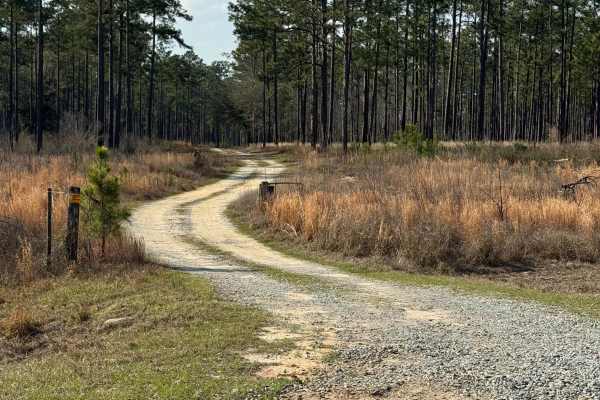
Frog Pond Road
Frog Pond Road trail is an interesting winding trail through pine forest that features its namesake, Frog Pond, about a half mile from its eastern end at the intersection with Yates Spring Road. Several sections also feature mature oaks with plenty of Spanish Moss to make for a picturesque drive. Th...
Learn more about Frog Pond Road
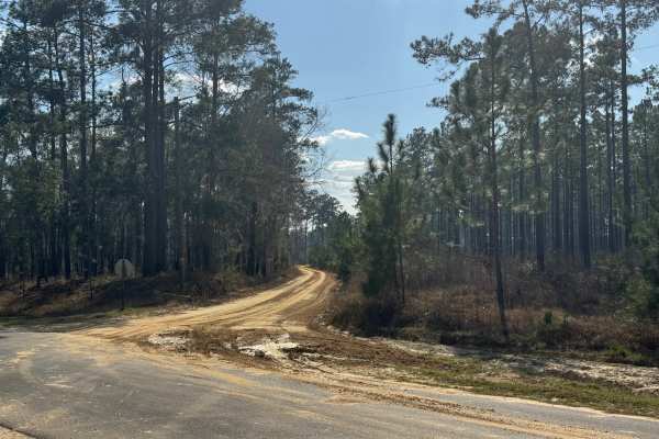
Ten Mile Still Road
With a name like Ten Mile Still Road, you would think there was some interesting history to go along with the name. Unfortunately, an internet search came up empty. The fact that the distance from its intersection with Hwy 253 to the end at the Ten Mile Still boat ramp is right at ten miles might gi...
Learn more about Ten Mile Still Road
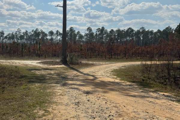
Morning Star Road
Morning Star Road trail is a slightly winding drive through stands of old and young southern pine trees, scrub, and flatlands. A slight hill near the east end of the trail provides an excellent elevated view of the WMA property. Morning Star provides a connector between East End Loop and the lower p...
Learn more about Morning Star Road
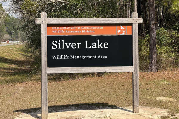
East Entrance Trail
East Entrance Trail is the primary entrance to the eastern side of the Silver Lake WMA. As with most Georgia WMAs, a valid hunting or fishing license is required to access the WMA property. The East End Trail is primarily packed dirt with a crushed rock surface. The trail is almost two vehicles wide...
Learn more about East Entrance Trail
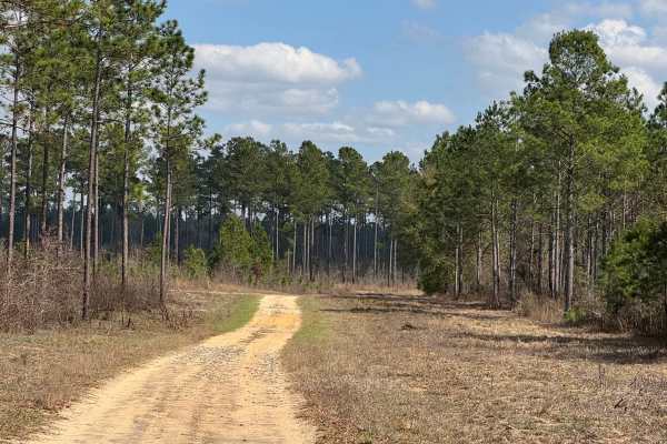
East Side Loop
The East Side loop is a combination of three trail segments making up the south, east, and north sections of the loop. The south segment is level packed dirt with a few shallow potholes that may hold water in wet weather. The east segment is also packed dirt with a few gentle grades. The north segme...
Learn more about East Side Loop
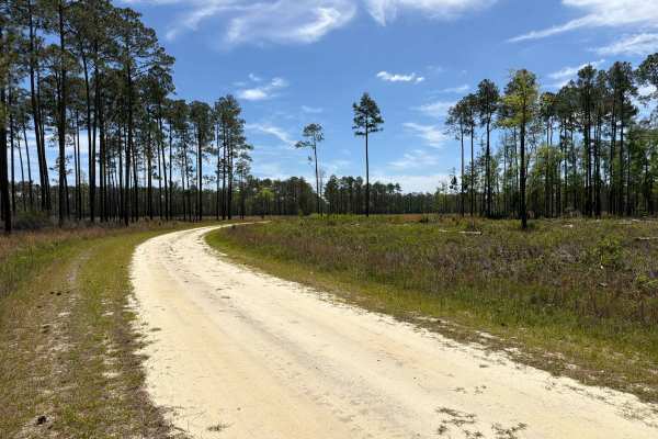
Little Gully Creek - FS 150
Little Gully Creek, also known as Apalachicola National Forest Road 150, is a dead-end road that starts at County Road 12. It takes you through the southwest part of the Apalachicola National Forest into the Johnson Juniper Swamp and gives you access to a few OHV trails and the Florida National Scen...
Learn more about Little Gully Creek - FS 150
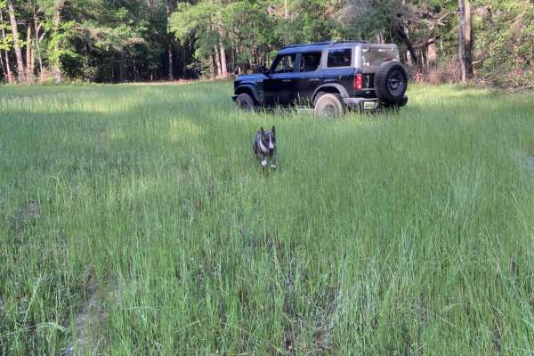
Turkey Trot - FS 351
Turkey Trot - FS 351 is a fairly well-maintained forest service road that runs along the eastern edge of Five Runs Creek. The terrain is mostly flat and sandy, typical of many forest service roads in the region. You’ll encounter occasional burn scars along the route, which can become slick and muddy...
Learn more about Turkey Trot - FS 351
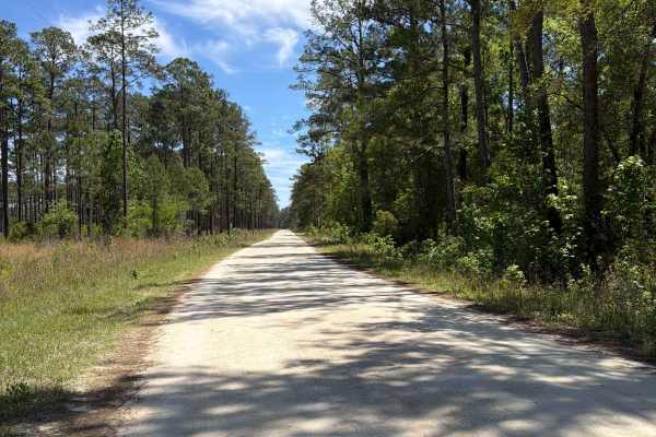
Mercer West - FS 105
Mercer West, also known as Apalachicola National Forest Road 105, connects Mercer Trail at the east end and County Road 12 at the west end. It takes you through the southwest part of the Apalachicola National Forest along Camel Pond and gives you access to Camel Pond Recreation Area with Restrooms, ...
Learn more about Mercer West - FS 105
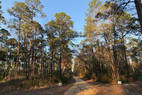
Hogfoot Road - FS 332
This scenic route winds through towering pines on a smooth, well-maintained road, making for a relaxing drive through Conecuh National Forest. Along the way, you'll cross two picturesque bridges, adding to the charm of this peaceful forest trail. Ideal for all vehicle types, this road provides easy ...
Learn more about Hogfoot Road - FS 332
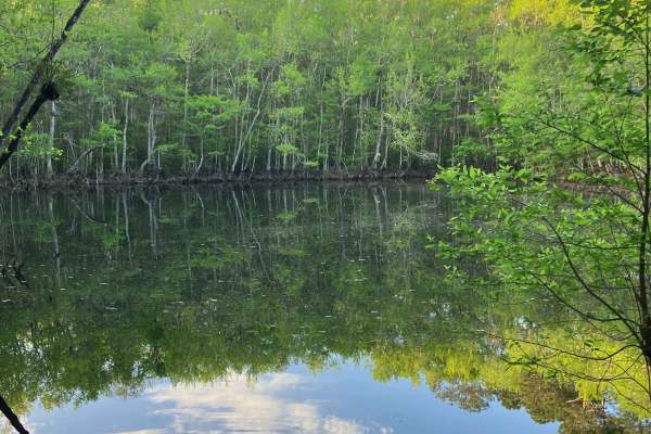
Loop Road - FS 335
Loop Road offers a scenic and relaxed ride, making it a great option for those looking to enjoy the natural surroundings. Drivers can expect small ruts and loose gravel on steeper grades, so caution should be advised if traveling this route in rainy weather. Overall, the terrain is straightforward a...
Learn more about Loop Road - FS 335
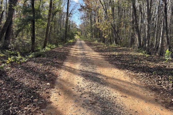
Chickasawhatchee Road
The Chickasawhatchee Road connects the north entrance at GA-62 and the west entrance at GA-37. The trail gives you access to the Campground and several other trails in the Chickasawhatchee Wildlife Management Area. The road conditions are a mixture of packed sand, loose sand and some deep holes that...
Learn more about Chickasawhatchee Road
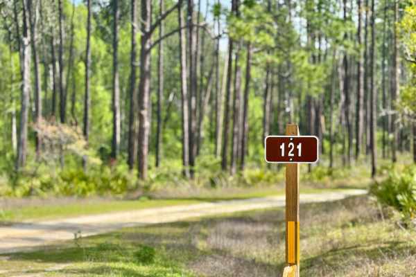
Big Gulley - FS 121
Big Gulley - 121 is a narrow, one-lane sandy road that offers a laid-back drive through the forest--until you hit the single deep mud hole. This obstacle has a soft bottom and can become especially tricky after rain, requiring a careful approach and possibly 4WD. The rest of the trail is relatively ...
Learn more about Big Gulley - FS 121
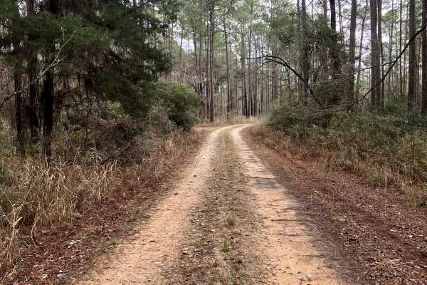
FS 337
FS 337 is a generally well-maintained forest service road running north–south through the heart of the Conecuh National Forest in southern Alabama. As one of the main thoroughfares through the forest, it offers scenic views of longleaf pine stands, open understory habitat, and abundant wildlife view...
Learn more about FS 337
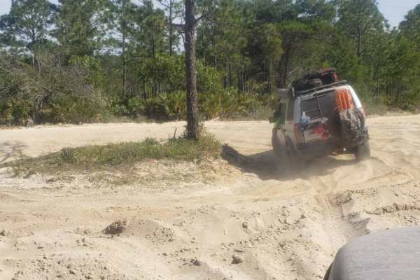
Point Washington State Forest 1
Point Washington State Forest 1 offers offroaders an easy but engaging journey through scenic pine flatwoods, making it a perfect adventure for those looking to experience Florida's unique coastal ecosystems. Spanning roughly 9 miles of flat terrain with minimal elevation changes, this trail primari...
Learn more about Point Washington State Forest 1

Big Gully Creek South - FS 131
Big Gully Creek South is a smooth, sandy, and fun winding trail that leads you through a scenic stretch of forest. It intersects at a large four-way junction, making it a key connector in the area and providing access to Camel Lake and Camel Lake Campground. The trail is well-maintained and easy to ...
Learn more about Big Gully Creek South - FS 131
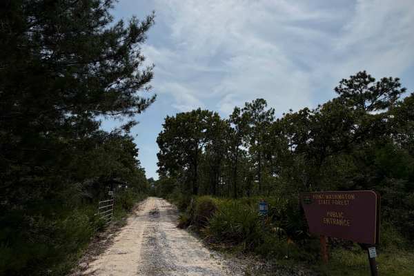
Point Washington State Forest Highway 98 Entrance
This is an entrance trail off of Highway 98 that leads to the main Point Washington State Forest 1 trail. It is marked with public signage visible from Highway 98; however, proceed with caution when exiting the Highway and reducing speed. This is a sandy trail that leads to an open, sandier area and...
Learn more about Point Washington State Forest Highway 98 Entrance
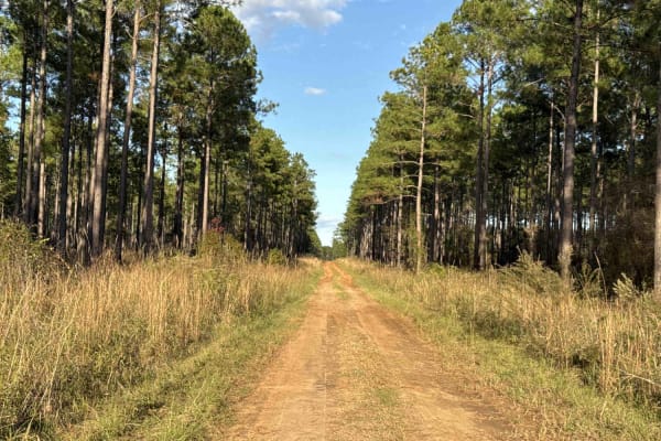
Pine Island Road
The Pine Island Road connects GA-62 at the north end and the Seven Bridge Road at the south end. The trail gives you access to the Mike Commander Shooting Range at the Chickasawhatchee Wildlife Management Area. The road conditions are a mixture of packed sand, loose sand, and some deep holes that ca...
Learn more about Pine Island Road
Beginner ATV trails near Rehobeth, Alabama
Explore ATV-friendly trails near you. These trails are accessible for vehicles up to 50 inches wide, perfect for ATVs and smaller off-road machines.
Little Gully Creek - FS 150
Little Gully Creek, also known as Apalachicola National Forest Road 150, is a dead-end road that starts at County Road 12. It takes you through the southwest part of the Apalachicola National Forest into the Johnson Juniper Swamp and gives you access to a few OHV trails and the Florida National Scen...
Learn more about Little Gully Creek - FS 150
Mercer West - FS 105
Mercer West, also known as Apalachicola National Forest Road 105, connects Mercer Trail at the east end and County Road 12 at the west end. It takes you through the southwest part of the Apalachicola National Forest along Camel Pond and gives you access to Camel Pond Recreation Area with Restrooms, ...
Learn more about Mercer West - FS 105
Hogfoot Road - FS 332
This scenic route winds through towering pines on a smooth, well-maintained road, making for a relaxing drive through Conecuh National Forest. Along the way, you'll cross two picturesque bridges, adding to the charm of this peaceful forest trail. Ideal for all vehicle types, this road provides easy ...
Learn more about Hogfoot Road - FS 332
Chickasawhatchee Road
The Chickasawhatchee Road connects the north entrance at GA-62 and the west entrance at GA-37. The trail gives you access to the Campground and several other trails in the Chickasawhatchee Wildlife Management Area. The road conditions are a mixture of packed sand, loose sand and some deep holes that...
Learn more about Chickasawhatchee Road
Beginner UTV/side-by-side trails near Rehobeth, Alabama
Find UTV and side-by-side trails near you. These trails accommodate vehicles up to 60 inches wide, ideal for UTVs, side-by-sides, and wider off-road rigs.
Little Gully Creek - FS 150
Little Gully Creek, also known as Apalachicola National Forest Road 150, is a dead-end road that starts at County Road 12. It takes you through the southwest part of the Apalachicola National Forest into the Johnson Juniper Swamp and gives you access to a few OHV trails and the Florida National Scen...
Learn more about Little Gully Creek - FS 150
Mercer West - FS 105
Mercer West, also known as Apalachicola National Forest Road 105, connects Mercer Trail at the east end and County Road 12 at the west end. It takes you through the southwest part of the Apalachicola National Forest along Camel Pond and gives you access to Camel Pond Recreation Area with Restrooms, ...
Learn more about Mercer West - FS 105
Hogfoot Road - FS 332
This scenic route winds through towering pines on a smooth, well-maintained road, making for a relaxing drive through Conecuh National Forest. Along the way, you'll cross two picturesque bridges, adding to the charm of this peaceful forest trail. Ideal for all vehicle types, this road provides easy ...
Learn more about Hogfoot Road - FS 332
Chickasawhatchee Road
The Chickasawhatchee Road connects the north entrance at GA-62 and the west entrance at GA-37. The trail gives you access to the Campground and several other trails in the Chickasawhatchee Wildlife Management Area. The road conditions are a mixture of packed sand, loose sand and some deep holes that...
Learn more about Chickasawhatchee Road
The onX Offroad Difference
onX Offroad combines trail photos, descriptions, difficulty ratings, width restrictions, seasonality, and more in a user-friendly interface. Available on all devices, with offline access and full compatibility with CarPlay and Android Auto. Discover what you're missing today!
Open Trail Map