
Beginner Off-Road Trails
Near Pueblo, Colorado
Explore All Beginner Trails Near Pueblo, Colorado
Beginner Off-Road Trails Near Pueblo, Colorado
Discover the best beginner-friendly off-road trails near you. These easier, lower-rated trails are a great place to start — browse trail maps, check difficulty ratings, and find your next adventure.
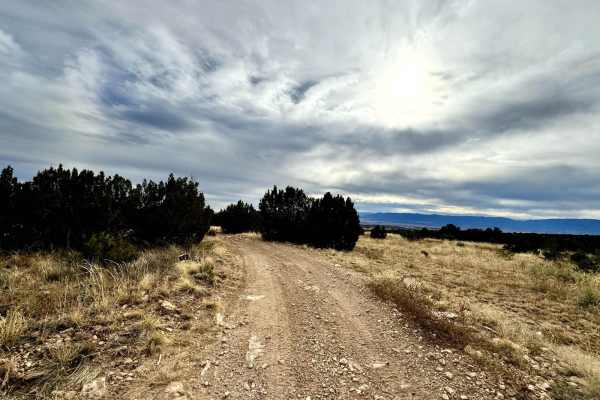
Penrose Commons BLM 6102E
Penrose Commons OHV Trail 6102E is a trail that runs north/south through the middle of the Penrose Commons OHV recreational site. The majority of the trail traverses along the top edge of a valley overlooking the scenic cliffs of Patton Canyon and Beaver Creek. Enjoy panoramic views, including the S...
Learn more about Penrose Commons BLM 6102E
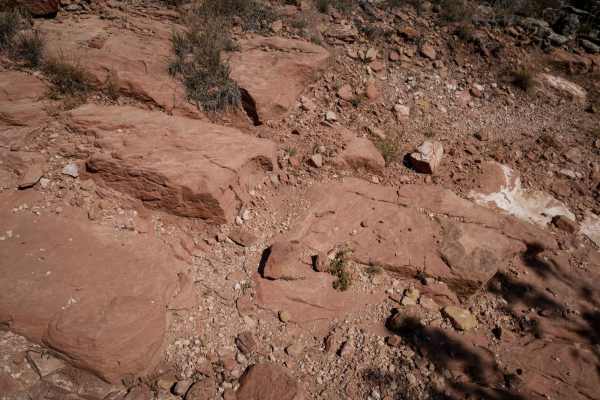
6102i
6102i departs from 6201F and goes over a bunch of slick rock layers, with a couple of 6" tall rock ledges right away. The rest of the short trail has small loose rocks, more flat slickrock layers, and a small steeper downhill descent with layers of embedded rock that make it a bit more challenging. ...
Learn more about 6102i
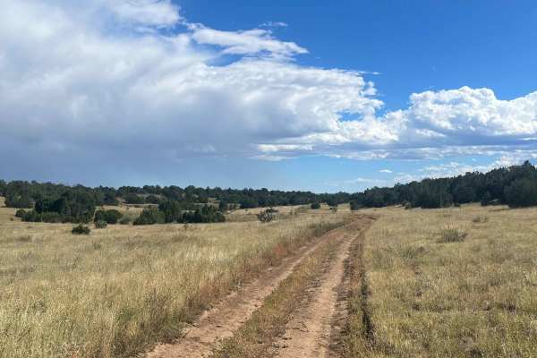
6102G
This trail is a short finger that runs down off the main loop (6102) in the Penrose Commons. Uneventful and flat. After a good rain, mud will be present. The end of the trail turns into a <50-inch wide trail (6102D). There is one spot to camp at the turnaround at the end.
Learn more about 6102G
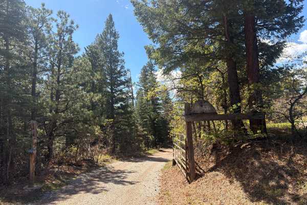
Meade Road
Easy-to-moderate, out-and-back dirt road located outside the town of Beulah, Colorado. The trail is off Colorado Route 78 and winds through scenic forest terrain within the San Isabel National Forest. The route is generally suitable for most offroad vehicles and provides access to dispersed recreati...
Learn more about Meade Road
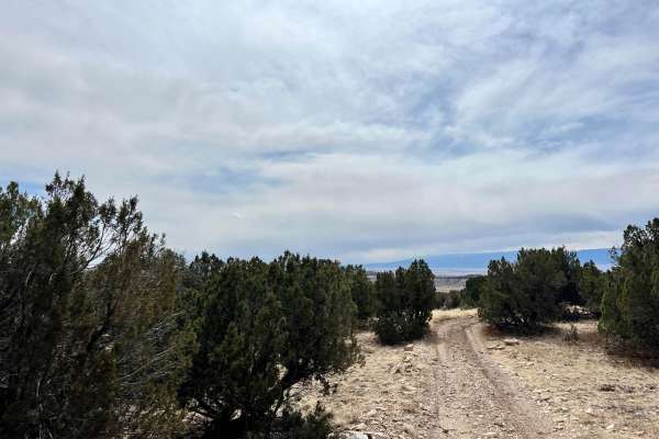
Beaver Creek Lookout - BLM#6102J
Trail#6102J is one of two sites drivable by a full-size 4x4 towards a scenic site where you can see Patton Canyon and Beaver Creek in the valley below as well as ruins of an old damn that collapse in 1921. Take a short walk toward the end of the cliff to see the panoramic view of the valley below. T...
Learn more about Beaver Creek Lookout - BLM#6102J
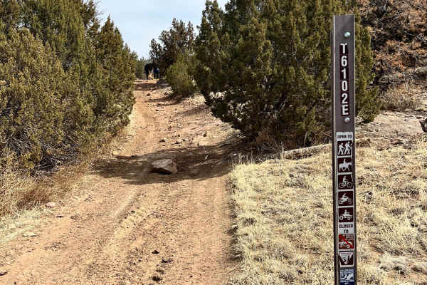
Patton Canyon Lookout - BLM#6102H
Trail#6102H is one of two sites drivable by a full-size 4x4 towards a scenic site where you can see Patton Canyon and Beaver Creek in the valley below as well as ruins of an old damn that collapse in 1921. Take a short walk toward the end of the cliff to see the panoramic view of the valley below. T...
Learn more about Patton Canyon Lookout - BLM#6102H

Penrose Commons BLM#6102A
Penrose Commons OHV Trail# 6102A is the trail that overlooks a narrow valley where the famous Patriot trails traverse (Independence Trail, Patriot Trail, and Liberty Trail). Although this trail connects the well-known extreme 4x4 trail, 6102A is a moderate trail consisting of mostly rocks and surrou...
Learn more about Penrose Commons BLM#6102A
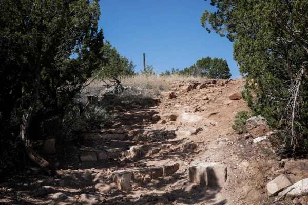
6102A
This ATV trail starts off of BLM Route 6102, just north of the Penrose Commons parking lot. It starts as a flat two-track with small loose rocks, going through wide open grassy terrain with pinyon pine bushes. After 0.2 miles, it splits. Left is an easy direct route north for 0.4 miles to the road (...
Learn more about 6102A
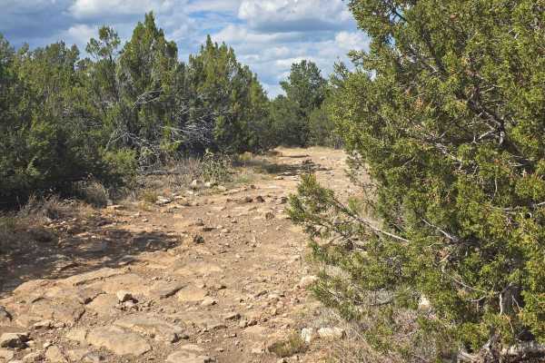
BLM 6101A
BLM Route 6101A is located within the Penrose Commons Recreation Area outside the town of Penrose, Colorado. As one of the many interconnected trails in the recreation area, it provides access to a network of routes suitable for off-highway vehicle enthusiasts. The trail is an easy, dirt road open t...
Learn more about BLM 6101A
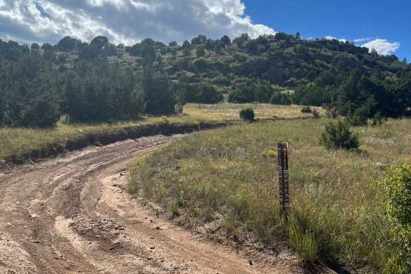
6102D
This easy trail winds through Penrose Commons, crossing varied terrain with gentle elevation changes. The north end features scattered large rocks and small steps among cedar trees, while the south end passes through an open clearing with deep ruts from runoff. Conditions can become slippery after r...
Learn more about 6102D
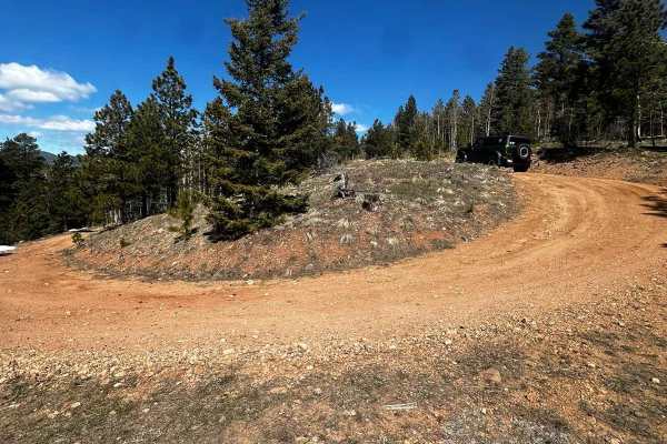
Roundtop Mountain Road - 321
This is a USFS road in the San Carlos Ranger District. The road is accessed off of CO-165 via Ditch Creek Rd. The road is an out-and-back trail that offers access to multiple dispersed camping sites and great views. Snow drifts can last long into spring and be very deep, making passage difficult.
Learn more about Roundtop Mountain Road - 321
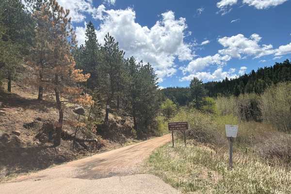
Davenport Campground Gulch Road
Easy dirt road located near San Isabel National Forest off Colorado Highway 165 near the historic Bishop Castle area. Davenport Campground Gulch Road travels through dense forest, open mountain meadows, and peaceful backcountry terrain, providing access to the historic Davenport Campground and sever...
Learn more about Davenport Campground Gulch Road
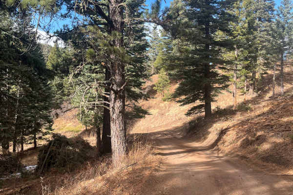
San Carlos Road
This trail is a short, easy out-and-back route that winds through the small elevation changes of the Wet Mountain foothills and offers a good chance of isolation. It contains no major obstacles or water crossings, making it approachable for most users. Ongoing timber work in 2025 has cleared underbr...
Learn more about San Carlos Road
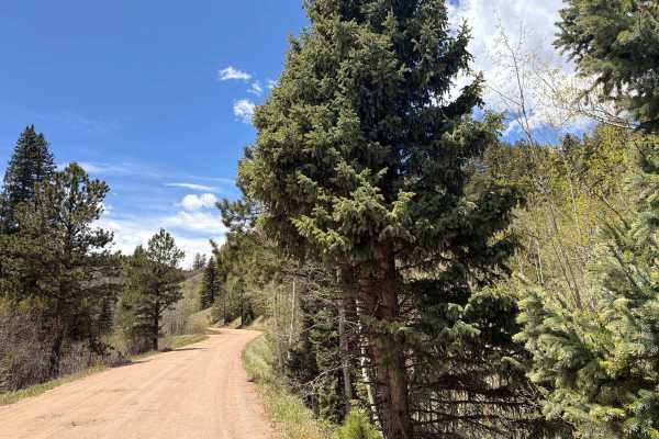
Ophir Creek Road
Easy, dirt trail located off Highway 165 in the San Isabel National Forest outside the town of San Isabel, Colorado. The trail is approximately 8.2 miles in length and connects to other trails within the San Isabel National Forest. Ophir Creek Road winds through dense forest, aspen groves, and peace...
Learn more about Ophir Creek Road
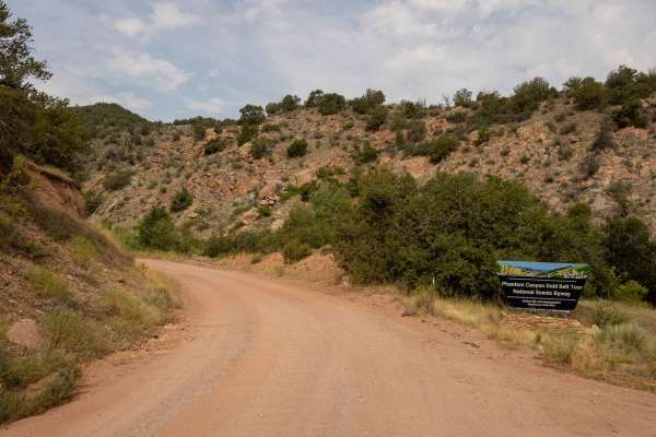
Phantom Canyon
Phantom Canyon Road is a historic and scenic 30-mile unpaved route in southern Colorado, connecting Cañon City to Victor. Part of the Gold Belt Scenic Byway, it follows the path of the Florence and Cripple Creek Railroad, constructed in 1894 to transport gold and supplies to the Cripple Creek mining...
Learn more about Phantom Canyon
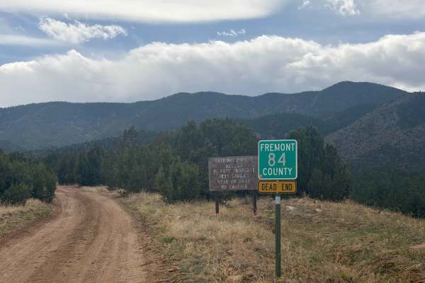
Fremont County 84
Easy access road (FS 84) reached via County Road 84 outside Florence, CO. The route primarily crosses private property before entering the San Isabel National Forest. At the end, there’s a small turnaround loop with limited parking (one vehicle), and camping is not permitted. This road serves as a c...
Learn more about Fremont County 84
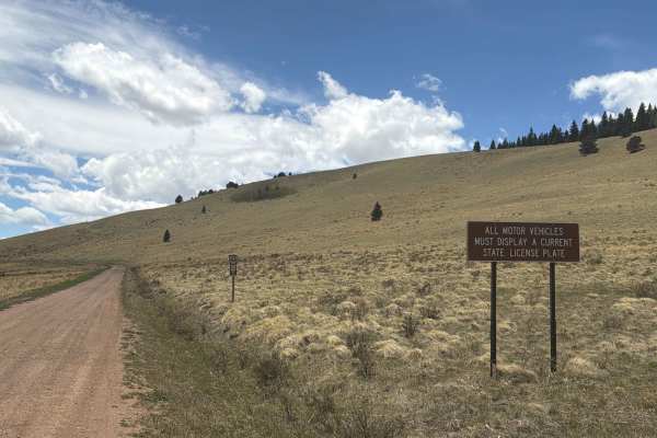
Gardner Road
Easy dirt road located near Gardner, Colorado, that provides access into San Isabel National Forest from Colorado Highway 69. The route alternates between national forest land and private ranch property, offering expansive views of the surrounding valleys and the dramatic Sangre de Cristo Mountains....
Learn more about Gardner Road
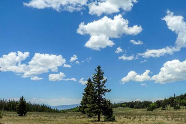
Greenhorn Mountain Road_ Forest Road 639
This is a wide gravel road that you can use to connect many trails in the area. To make loop routes you can go down Meadow Divide forest road 639 then come back up Salt Creek Rd forest road 409. There are also several roads that you can access at the beginning of the road as you turn of State Highw...
Learn more about Greenhorn Mountain Road_ Forest Road 639
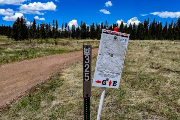
Meadow Divide Road- FSR 325
This is an easy trail that takes you through areas of meadows at the top and bottom with forested areas in the middle. There are spots where there is some logging operation in progress. At the lower meadows in the summer, you will run into cattle grazing. There is a seasonal closure from December 15...
Learn more about Meadow Divide Road- FSR 325
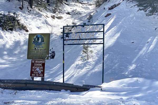
Old Stage Rd
Easy trail with beautiful views. 4WD is recommended, especially after snowfall. This trail leads to Gold Camp Road. Take switchbacks cautiously, as they can become narrow, and on-coming traffic can be hard to see. The last mile or so is the most rutted, with some larger rocks to get over.
Learn more about Old Stage Rd
Beginner ATV trails near Pueblo, Colorado
Explore ATV-friendly trails near you. These trails are accessible for vehicles up to 50 inches wide, perfect for ATVs and smaller off-road machines.
Penrose Commons BLM 6102E
Penrose Commons OHV Trail 6102E is a trail that runs north/south through the middle of the Penrose Commons OHV recreational site. The majority of the trail traverses along the top edge of a valley overlooking the scenic cliffs of Patton Canyon and Beaver Creek. Enjoy panoramic views, including the S...
Learn more about Penrose Commons BLM 6102E
6102i
6102i departs from 6201F and goes over a bunch of slick rock layers, with a couple of 6" tall rock ledges right away. The rest of the short trail has small loose rocks, more flat slickrock layers, and a small steeper downhill descent with layers of embedded rock that make it a bit more challenging. ...
Learn more about 6102i
6102G
This trail is a short finger that runs down off the main loop (6102) in the Penrose Commons. Uneventful and flat. After a good rain, mud will be present. The end of the trail turns into a <50-inch wide trail (6102D). There is one spot to camp at the turnaround at the end.
Learn more about 6102G
Meade Road
Easy-to-moderate, out-and-back dirt road located outside the town of Beulah, Colorado. The trail is off Colorado Route 78 and winds through scenic forest terrain within the San Isabel National Forest. The route is generally suitable for most offroad vehicles and provides access to dispersed recreati...
Learn more about Meade Road
Beginner UTV/side-by-side trails near Pueblo, Colorado
Find UTV and side-by-side trails near you. These trails accommodate vehicles up to 60 inches wide, ideal for UTVs, side-by-sides, and wider off-road rigs.
Penrose Commons BLM 6102E
Penrose Commons OHV Trail 6102E is a trail that runs north/south through the middle of the Penrose Commons OHV recreational site. The majority of the trail traverses along the top edge of a valley overlooking the scenic cliffs of Patton Canyon and Beaver Creek. Enjoy panoramic views, including the S...
Learn more about Penrose Commons BLM 6102E
6102G
This trail is a short finger that runs down off the main loop (6102) in the Penrose Commons. Uneventful and flat. After a good rain, mud will be present. The end of the trail turns into a <50-inch wide trail (6102D). There is one spot to camp at the turnaround at the end.
Learn more about 6102G
Meade Road
Easy-to-moderate, out-and-back dirt road located outside the town of Beulah, Colorado. The trail is off Colorado Route 78 and winds through scenic forest terrain within the San Isabel National Forest. The route is generally suitable for most offroad vehicles and provides access to dispersed recreati...
Learn more about Meade Road
Beaver Creek Lookout - BLM#6102J
Trail#6102J is one of two sites drivable by a full-size 4x4 towards a scenic site where you can see Patton Canyon and Beaver Creek in the valley below as well as ruins of an old damn that collapse in 1921. Take a short walk toward the end of the cliff to see the panoramic view of the valley below. T...
Learn more about Beaver Creek Lookout - BLM#6102J
The onX Offroad Difference
onX Offroad combines trail photos, descriptions, difficulty ratings, width restrictions, seasonality, and more in a user-friendly interface. Available on all devices, with offline access and full compatibility with CarPlay and Android Auto. Discover what you're missing today!
Open Trail Map