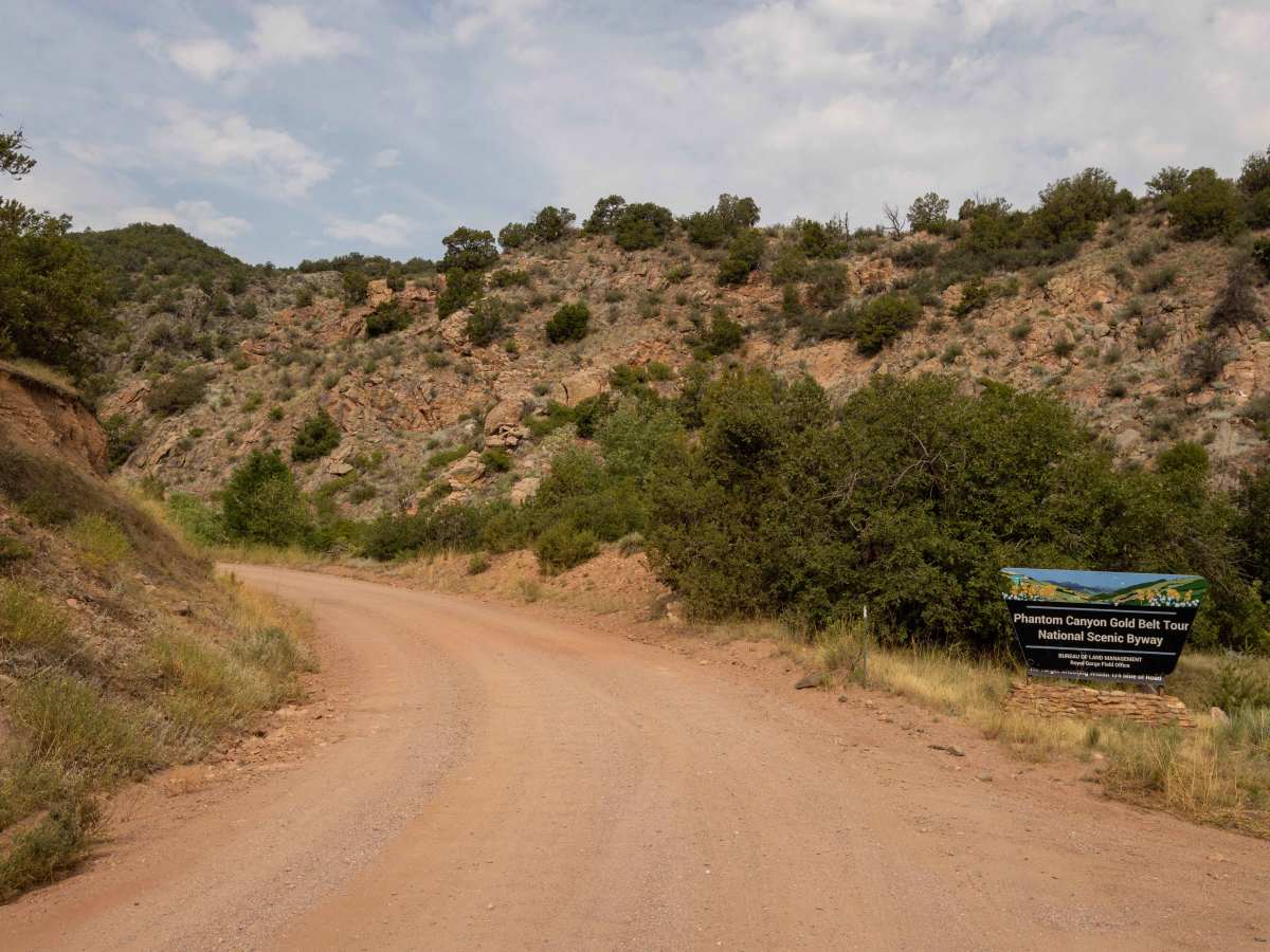
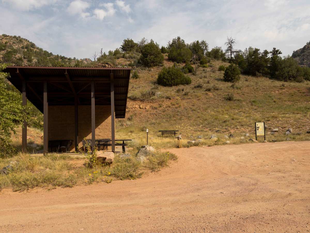
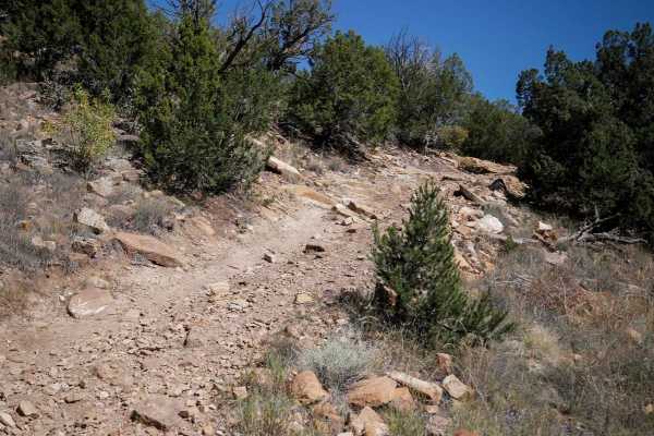
Phantom Canyon

Total Miles 24.6
Technical Rating
1 Easy
Best Time Summer, Fall, Spring
Trail Type Full-Width Road
Accessible By
Open Trail Map

Trail Overview

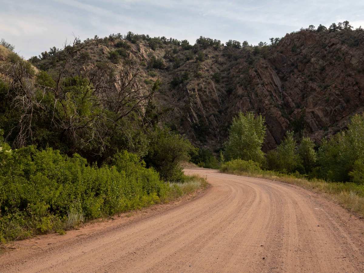
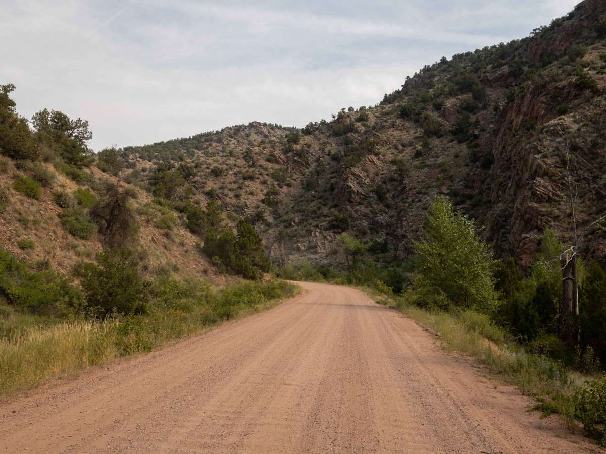
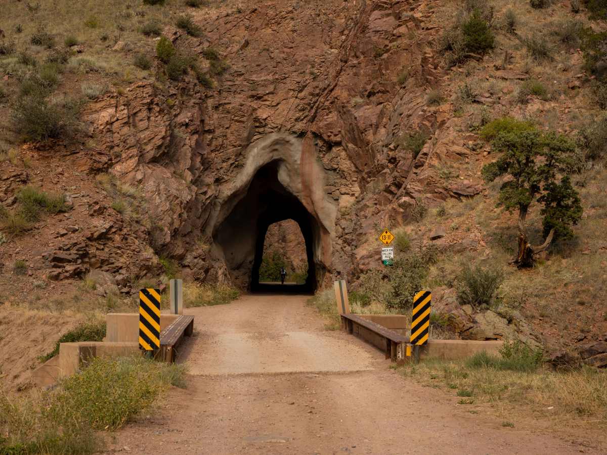
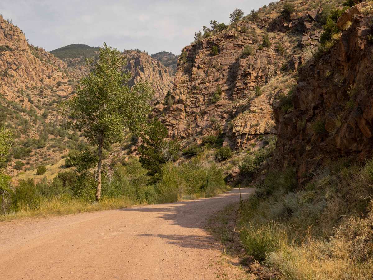
Phantom Canyon Road is a historic and scenic 30-mile unpaved route in southern Colorado, connecting Cañon City to Victor. Part of the Gold Belt Scenic Byway, it follows the path of the Florence and Cripple Creek Railroad, constructed in 1894 to transport gold and supplies to the Cripple Creek mining district . The road begins at an elevation of 5,500 feet near Cañon City and ascends to 9,500 feet near Victor. It traverses narrow, winding paths through Phantom Canyon, featuring two tunnels and three elevated bridges. The route is generally accessible to high-clearance vehicles, though some sections may be narrow and require caution. The road is open year-round, but conditions can vary, so it's advisable to check the current status before traveling.
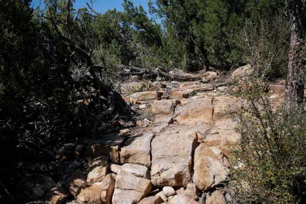
Photos of Phantom Canyon

Difficulty

This is a well-traveled, easy trail with no obstacles on it. There are 2 tunnels and multiple bridges that may give some novice drivers pause, but this route is beautiful and safe.

History

Phantom Canyon Road offers a glimpse into Colorado's mining history, passing through remnants of ghost towns such as Wilbur, Adelaide, and Glenbrook. The canyon walls are adorned with vibrant rock formations, and the area is home to diverse wildlife, including deer and elk. The road's design, with its tunnels and bridges, reflects the engineering challenges faced during its construction in the late 19th century.

Technical Rating

1

Status Reports

Add Status Report
Cary Travnichek
Dec 26, 2025
Open
Dry and dusty halfway up. Some snow melt and trace of snow on the road abve 7500ft. Beautiful scenery.
Mike L
Nov 29, 2025
Open
Shelf Road from Cripple Creek to Cañon City open. Just one numpty speeding and a bunch of cows half way through.
Justin Campbell
Nov 10, 2025
Open
Open at least from Cripple Creek to Canon City.
Andrew Pan
Nov 09, 2025
Open
Open for the 1st mile or 2 then the trail is shut down for a bridge re build
Joshua Herndon
Nov 07, 2025
Open
Chris Prindiville
Nov 04, 2025
Open
Bondock camping at the bottom of Phantom Canyon. Rode our Spyder to about mile marker 20 where the "last turnaround" construction sign is. Road was dry. The rest stops were greatly appreciated. Looking forward to finishing the road after the construction is completed.
jack peery
Oct 26, 2025
Open
Trail will be closed on the North End from 10/26-12/26/25 for bridge construction/repairs. 10/25 trail was great. A few folks taking advantage of the nice weather and beautiful colors.
john price
Sep 24, 2025
Open
Beautiful easy drive worth the trip beautiful views of the aspen trees changing color.
Tony Kuligowski
Aug 30, 2025
Open
Went out with my ADV bike. Lots of rain recently and during my ride. Shelf road was super slick and muddy in spots. Deep ruts going across the road on both Phantom Canyon and Shelf Road most likely because of the recent rains. Long sections of washboard.
Blake Casey
Jul 25, 2025
Open
Zachary McClendon
Jul 24, 2025
Open
Had rained a little earlier and again as we were finishing up. A few washed out spots but nothing scary. I saw a Chevy Impala out there driving.
Kristopher Lemke
Jul 03, 2025
Open
Very few people out. Nice ride. Started and ended in Canon city.
Toby Palmer
Jun 27, 2025
Open
Beautiful trail, but beware of steep grades and ledges. Some portions are quite narrow.
Tom Baker
Jun 22, 2025
Open
Hit the east leg of this route from Victor to US 50 on a loaded down big ADV motorcycle. I am an average skilled rider. Other than a little bit of washboard and pot holes spots, road was smooth and fast. Really enjoyed this one. If you’re on a big ADV bike and looking to get a little dirt on the tires without any near death experiences, I highly recommend this route.
Xander Victoria
May 20, 2025
Open

Phantom Canyon Trail can be accessed by the following ride types:

  • Single Track
  • High Clearance
  • Full Width

Phantom Canyon Map

The onX Offroad Difference

onX Offroad combines trail photos, descriptions, difficulty ratings, width restrictions, seasonality, and more in a user-friendly interface. Available on all devices, with offline access and full compatibility with CarPlay and Android Auto. Discover what you're missing today!

Open Trail Map