
Beginner Off-Road Trails
Near Piedmont, South Dakota
Explore All Beginner Trails Near Piedmont, South Dakota
Beginner Off-Road Trails Near Piedmont, South Dakota
Discover the best beginner-friendly off-road trails near you. These easier, lower-rated trails are a great place to start — browse trail maps, check difficulty ratings, and find your next adventure.
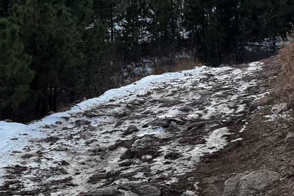
Piedmont To Nemo Trail
As you travel through this trail, you are instantly surrounded by the Black Hills National Forest. The route is compromised of rocky terrain along with some uphill travel with views of the nearby town of Piedmont. The route is mostly one vehicle wide with some areas to pass. During the summer this s...
Learn more about Piedmont To Nemo Trail
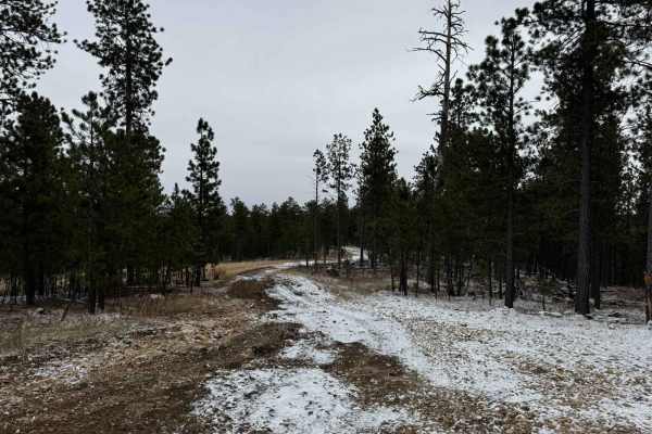
Nemo 8277
Nemo 8277 is one of the many tracks located in the Nemo area of the Black Hills National Forest. Nemo 8277 begins as a gentle gravel road and increases into small rocks and off-cambering surfaces, with many ups and downs offering a tame but enjoyable ride for all users. Conditions of the trail can o...
Learn more about Nemo 8277
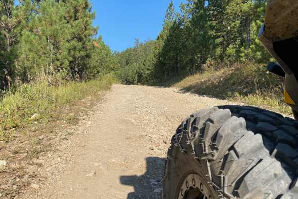
Crystal Cave Trail
Crystal Cave is a very easy ride to the end of the trail where you will find an overlook to what many call the "Mini Grand Canyon" of the Black Hills. The trail is a two lane maintained gravel road that passes through a residential area for approximately 2.5 miles and towards the end of the residen...
Learn more about Crystal Cave Trail
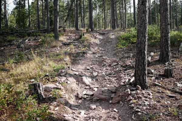
Nemo 8550
This is a short single track in the Black Hills that is part of the Bogus Trail System. The trail goes through a pine forest, full of loose pieces of rock littering the trail. The trail mostly goes downhill from south to north, with the steepest section at the north end before it connects to the 808...
Learn more about Nemo 8550
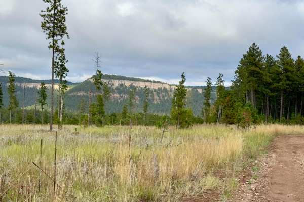
Bogus Jim (FS 201) and Duran (FS 679.1)
This route is a southern alternative to riding Merritt Estes Road and Nemo Road. Erskine Gulch Road is just north of where Duran meets with Nemo Road, so you can use this instead of riding gravel/paved roads to/from Merritt Estes. Bogus Jim is a maintained gravel road whereas Duran is a single-vehic...
Learn more about Bogus Jim (FS 201) and Duran (FS 679.1)
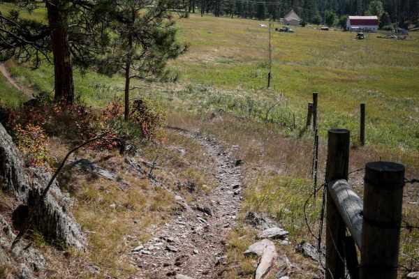
Bogus 6310
6310 is an easy dirt bike trail through the Black Hills. Part of it is a really wide path through the pine forest, but it also narrows up through the grassy meadow. It starts at the staging area on Norris Peak Lane, which is a small dirt parking lot. If staging here, you'll need to take this trail t...
Learn more about Bogus 6310
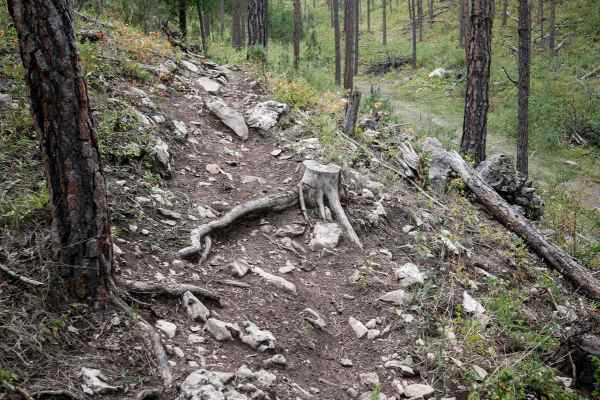
Loamy Loop Lollipop Stem
This is a short segment of 6660 that continues after the Devil's Head segment. It's a mile-long single track with small rocks in the trail, roots across the trail, and bigger loose rocks. There are sections that are smoother and easier as it winds through the rolling Black Hills. The western end end...
Learn more about Loamy Loop Lollipop Stem
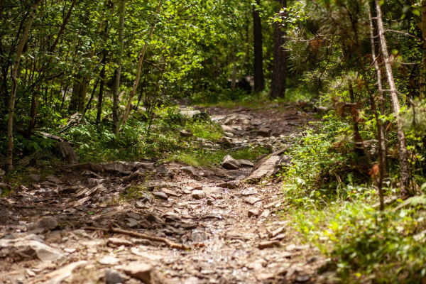
Raspberry Ridge
Connecting to the "Cheerios" Bypass Raspberry Ridge is a narrow semi-rocky trail best enjoyed by those with high clearance vehicles. Steep and narrow descents and ascents are full of rocks and boulders making the trail technical, but fun even to new drivers. Raspberry Ridge begins after a single-tra...
Learn more about Raspberry Ridge
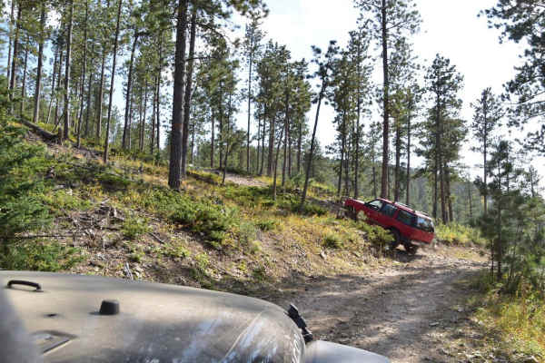
Moses Hill
Moses Hill is a scenic point-to-point trail in the Black Hills of South Dakota. It is named for a very steep portion that gets you to the top of the mountain, which is tree covered, but a short walk brings you to an overlook that allows you to see out of the trees to the surrounding valley. This ste...
Learn more about Moses Hill
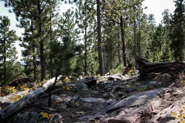
Bogus 6321
6321 goes gradually downhill for 1.6 miles through the Black Hills, connecting the 6339 and 6310 single tracks. This trail is pretty easy, with sections of small loose rocks and narrow sections through grassy meadows and sparse pine trees. It has lots of tight turns through the trees, sections with ...
Learn more about Bogus 6321
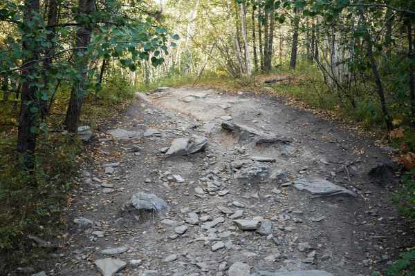
6333
6333 is a short one-mile SXS trail through the Bogus Trail System west of Rapid City, South Dakota. It's easy for the entire route but does have a few embedded rocks that are decent sized in the middle of the trail, making it a bumpy ride, but that does not increase the difficulty, as most any SXS v...
Learn more about 6333
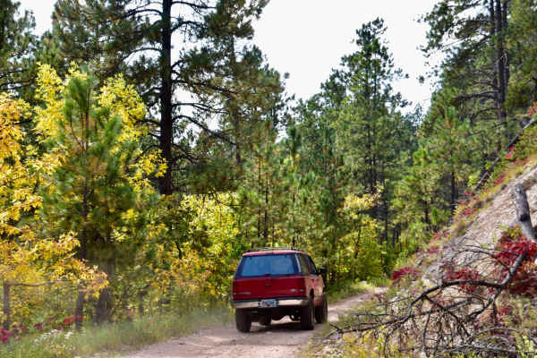
Bulldog
Bulldog is an exceptionally scenic, beginner-friendly trail in the Black Hills National Forest that is perfect for offroaders wanting to experience stunning autumn colors and sweeping mountain vistas without navigating difficult obstacles. Winding through the hills southwest of Sturgis, this route c...
Learn more about Bulldog
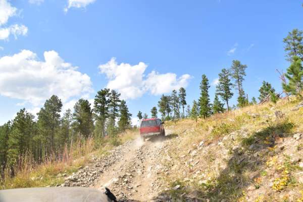
Bulldog
This is a beautiful winding trail up through the trees to the top of a high point overlooking Bear Butte State Park. The only real challenges are when you meet oncoming vehicles, as it is a two-track trail, and shelf road in places. There is a nice overlook to pull off and enjoy the view.
Learn more about Bulldog
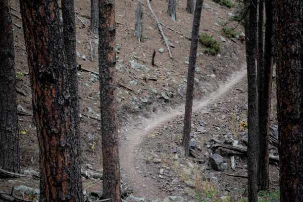
6617
6617 is a mellow and easy single track that meanders through the sparse pine tree forest in the Black Hills. The east side starts at a metal grate pinch point, and then it meanders through the trees and meadows. There are big boulders lining the trail, and small rocks you must ride over, but a lot o...
Learn more about 6617
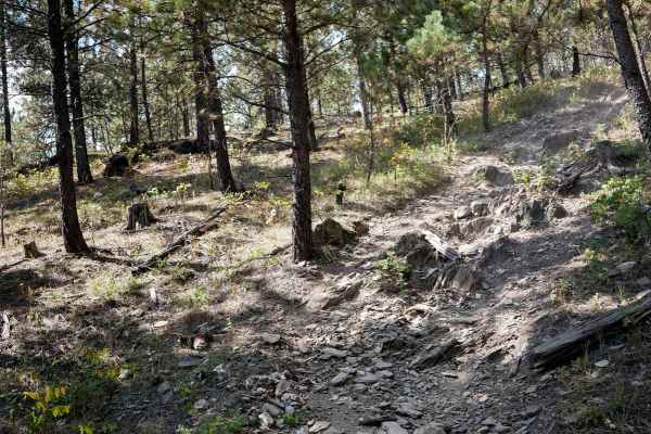
Bogus 6328
This is a 1.1-mile connector single track that departs from 6305, crosses a powerline trail, and then connects back up to 6305, so it could be used to make a loop or take an alternate route instead of riding the same trail out and back. It's relatively easy the whole way, with easy features such as ...
Learn more about Bogus 6328
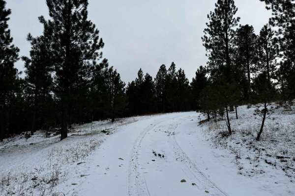
Bogus 6307
Trail #6307 is located within the vast Bogus Jim trail system. This trail is relatively easy to navigate, but there are many loose and rocky obstacles along the path. This trail is open all year long, but be mindful of how weather/seasonal conditions can make this track challenging, such as snow and...
Learn more about Bogus 6307
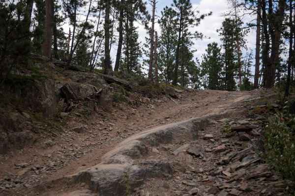
Centennial 8089
This is a SXS trail designated for vehicles 62" or less in the Black Hills National Forest west of Rapid City, South Dakota. It starts on a wide path next to a wooden fence with really pretty rock cliffs in the background. It stays really mellow and easy for most of the route. There are sections wit...
Learn more about Centennial 8089
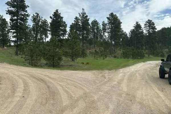
Veterans Peak Trail
This short 0.7-mile trail is an offshoot of Bulldog Trail, quick, and easily accessible from Vanocker Canyon. Upon leaving the highway, you will be presented with two choices. The left trail is Veterans Peak. This is a narrow trail that has a few pull-off locations for oncoming traffic but you'll wa...
Learn more about Veterans Peak Trail
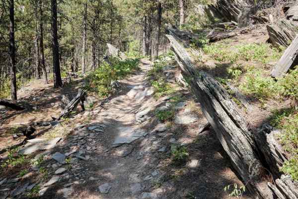
Bogus 6330
This 2.4-mile-long single track through the Black Hills starts right at the intersection of Bogus Jim Road (FS 202) and 642, across from a big meadow used for staging or dispersed camping. The trail goes southeast and ends on a dirt road, and can easily be connected to 6305 and other similarly easy ...
Learn more about Bogus 6330
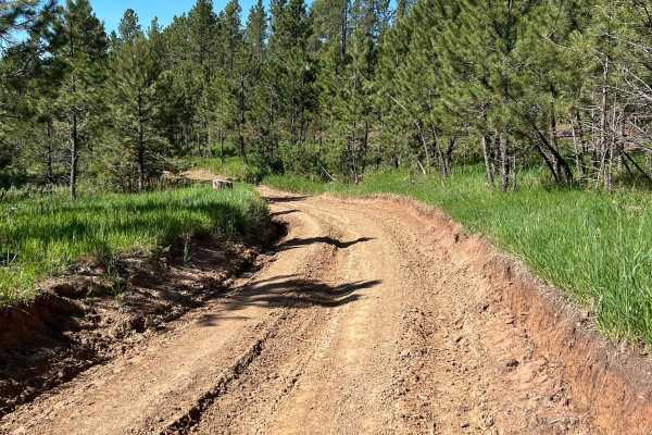
Flat Nastys
This an easier very scenic trail that takes you from Nemo Road over to Highway 44. Some smaller rock-rutted uneven road that can be messy in the rain. One major obstacle that has a steep drop down and a narrow steep grade out. Does get narrow when you are running beside the harder section of Flat Na...
Learn more about Flat Nastys
Beginner ATV trails near Piedmont, South Dakota
Explore ATV-friendly trails near you. These trails are accessible for vehicles up to 50 inches wide, perfect for ATVs and smaller off-road machines.
Piedmont To Nemo Trail
As you travel through this trail, you are instantly surrounded by the Black Hills National Forest. The route is compromised of rocky terrain along with some uphill travel with views of the nearby town of Piedmont. The route is mostly one vehicle wide with some areas to pass. During the summer this s...
Learn more about Piedmont To Nemo Trail
Nemo 8277
Nemo 8277 is one of the many tracks located in the Nemo area of the Black Hills National Forest. Nemo 8277 begins as a gentle gravel road and increases into small rocks and off-cambering surfaces, with many ups and downs offering a tame but enjoyable ride for all users. Conditions of the trail can o...
Learn more about Nemo 8277
Crystal Cave Trail
Crystal Cave is a very easy ride to the end of the trail where you will find an overlook to what many call the "Mini Grand Canyon" of the Black Hills. The trail is a two lane maintained gravel road that passes through a residential area for approximately 2.5 miles and towards the end of the residen...
Learn more about Crystal Cave Trail
Bogus Jim (FS 201) and Duran (FS 679.1)
This route is a southern alternative to riding Merritt Estes Road and Nemo Road. Erskine Gulch Road is just north of where Duran meets with Nemo Road, so you can use this instead of riding gravel/paved roads to/from Merritt Estes. Bogus Jim is a maintained gravel road whereas Duran is a single-vehic...
Learn more about Bogus Jim (FS 201) and Duran (FS 679.1)
Beginner UTV/side-by-side trails near Piedmont, South Dakota
Find UTV and side-by-side trails near you. These trails accommodate vehicles up to 60 inches wide, ideal for UTVs, side-by-sides, and wider off-road rigs.
Piedmont To Nemo Trail
As you travel through this trail, you are instantly surrounded by the Black Hills National Forest. The route is compromised of rocky terrain along with some uphill travel with views of the nearby town of Piedmont. The route is mostly one vehicle wide with some areas to pass. During the summer this s...
Learn more about Piedmont To Nemo Trail
Nemo 8277
Nemo 8277 is one of the many tracks located in the Nemo area of the Black Hills National Forest. Nemo 8277 begins as a gentle gravel road and increases into small rocks and off-cambering surfaces, with many ups and downs offering a tame but enjoyable ride for all users. Conditions of the trail can o...
Learn more about Nemo 8277
Crystal Cave Trail
Crystal Cave is a very easy ride to the end of the trail where you will find an overlook to what many call the "Mini Grand Canyon" of the Black Hills. The trail is a two lane maintained gravel road that passes through a residential area for approximately 2.5 miles and towards the end of the residen...
Learn more about Crystal Cave Trail
Bogus Jim (FS 201) and Duran (FS 679.1)
This route is a southern alternative to riding Merritt Estes Road and Nemo Road. Erskine Gulch Road is just north of where Duran meets with Nemo Road, so you can use this instead of riding gravel/paved roads to/from Merritt Estes. Bogus Jim is a maintained gravel road whereas Duran is a single-vehic...
Learn more about Bogus Jim (FS 201) and Duran (FS 679.1)
The onX Offroad Difference
onX Offroad combines trail photos, descriptions, difficulty ratings, width restrictions, seasonality, and more in a user-friendly interface. Available on all devices, with offline access and full compatibility with CarPlay and Android Auto. Discover what you're missing today!
Open Trail Map