
Beginner Off-Road Trails
Near Paulden, Arizona
Explore All Beginner Trails Near Paulden, Arizona
Beginner Off-Road Trails Near Paulden, Arizona
Discover the best beginner-friendly off-road trails near you. These easier, lower-rated trails are a great place to start — browse trail maps, check difficulty ratings, and find your next adventure.
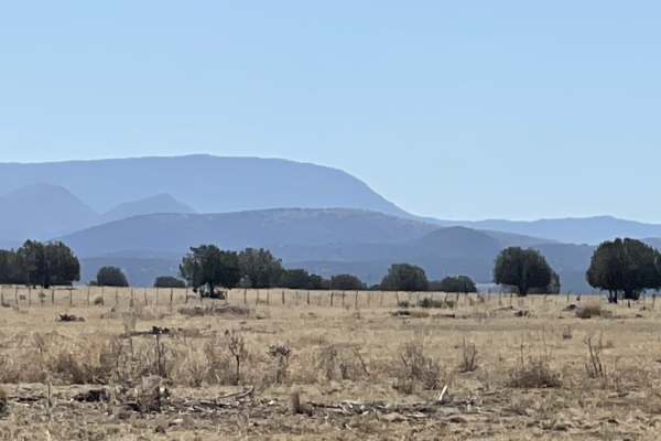
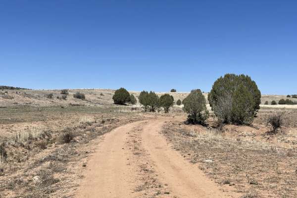
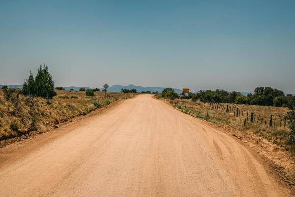
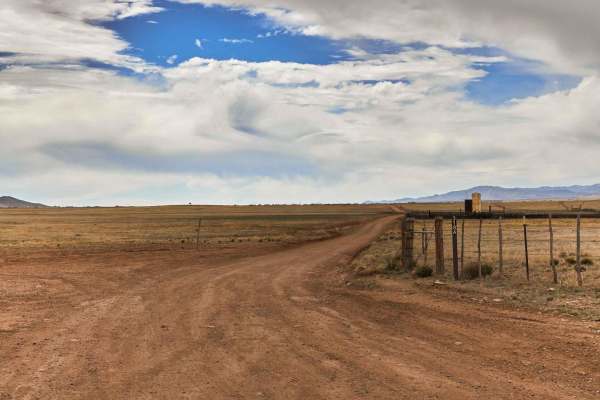
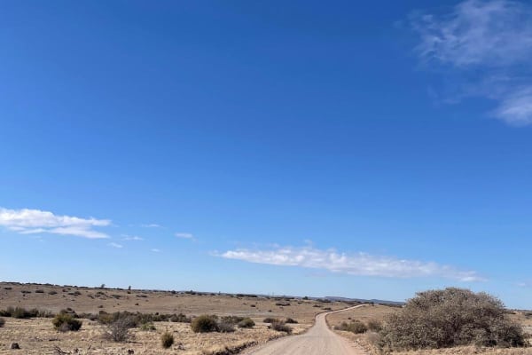
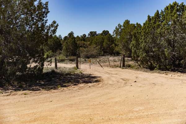
FS 635" The Locked Gate"
This easy, two-lane, forest grader takes you all the way to a locked gate. It also is the main graded road and access to the area to get across the train tracks and gain access to all the other trails in the area. Beyond the locked gate appears to be access to Verde River but not via this point. Whe...
Learn more about FS 635" The Locked Gate"
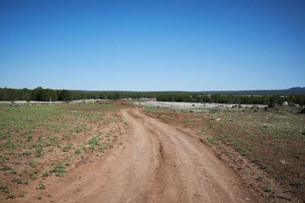
Northern Pipe Line Road
If you like mostly straight and mostly flat trails, this is the one for you. The road is here because of the gas pipeline that it parallels. There are a few mild transitions here and there. It could be super slimy when wet. It's a good access point for a few other trails. In the north, the trail end...
Learn more about Northern Pipe Line Road
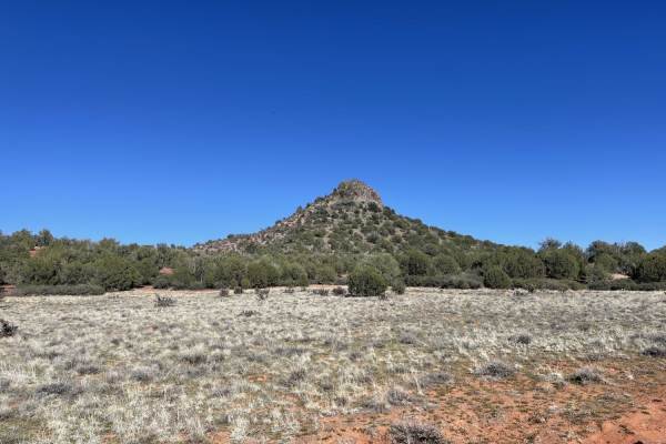
Rock Butte View Trail
This mostly easy two-track trail diverts from the main Rock Butte trail and provides access to a few nice dispersed camping spots via a small shelf and a few rutted off-camber tracks. The meadow area has great views of the Butte. A short hike at the end of the trail provides an elevated view of Rock...
Learn more about Rock Butte View Trail

Not the Way Across the Tracks
This section of the Old 89 takes the driver from the new paved 89 back across the ridge to the old dirt section. There are quite a few nice dispersed camping spots near the beginning of the trail as long as you don't mind the noise from the nearby cement factory. When viewing the maps, it appears th...
Learn more about Not the Way Across the Tracks
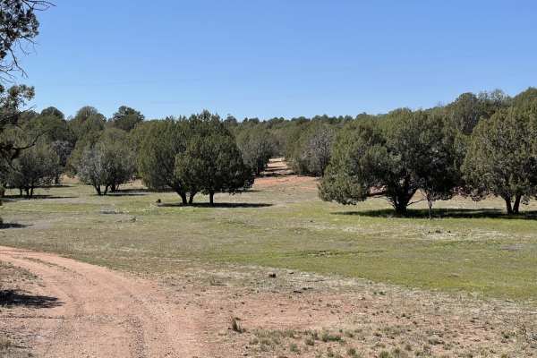
Ye Old 89
This trail follows the section south of the closed gate where the Old 89 passes through the concrete plant. It buzzes past fields of perfectly spaced Juniper trees, while jackrabbits dart across as you drive by. Hunters were out sighting in their glass, and campers and Rv's were spread along the man...
Learn more about Ye Old 89
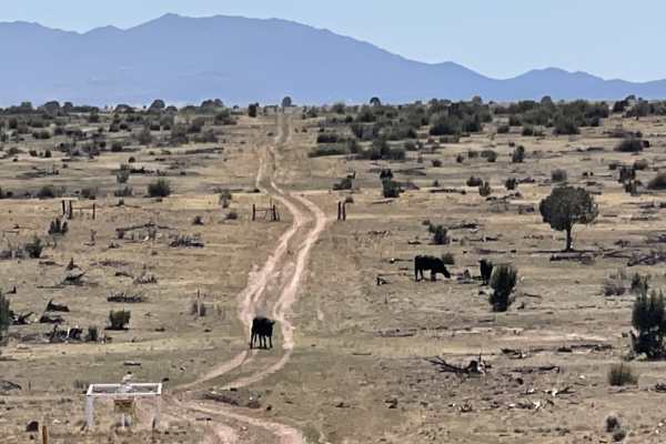
Just Grazing Trail
This short loop through the fields is clearly grazing grounds and a nice fun track to reconnect with the main road in and out of the area. This one completes the loop. It's easy and only has a few washouts and ruts. There are livestock gates here without signs, so please follow the open or closed ru...
Learn more about Just Grazing Trail
Pine Flat
This short and sweet little connector trail passes by a lovely tank and green area with plenty of flowers blooming, if you are lucky enough to be here in the springtime. It passes through some lovely dense Juniper forests. There are a few livestock gates. At the time of recording, all the gates were...
Learn more about Pine Flat
Muldoon / 638
Muldoon starts off as a gentle, wide, rolling trail. As you proceed North, out of the grassy pasture, the trail yields to off camber mudruts with whoop-like rollers in several spots. The further North, the rougher this trail gets with small ledges, steep rocky hill-climbs, and wash crossings. High c...
Learn more about Muldoon / 638
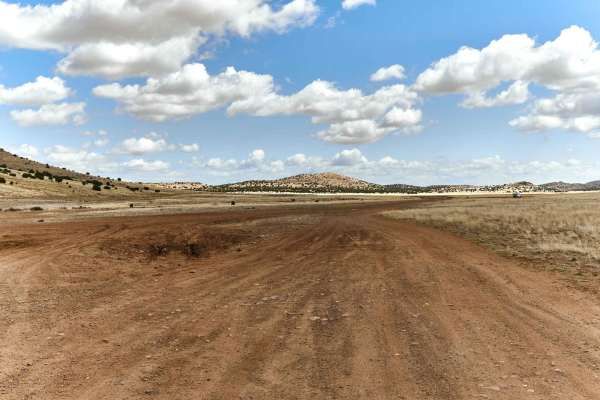
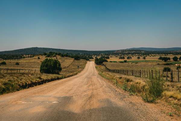
Williamson Valley Road
Williamson Valley Road is the main artery that accesses the Northern section of the Prescott National Forest. The road is somewhat maintained, with it being scraped and graded several times a year. The road is gravel, with some sections of washboards and curves, but overall there are no obstacles on...
Learn more about Williamson Valley Road
West Camp Wood East
West Camp Wood Road East is a wide dirt road that provides one of the main access points to many areas of the Prescott National Forest. At times, this road may have washboard conditions, as well as blind curves, so please keep your speed in check and take caution. This road is well traveled, and it'...
Learn more about West Camp Wood East
9031F
9031F starts as a wide road that quickly narrows to a single lane of dirt that snakes it's way along a gas pipeline north toward i-40. No obstacles are on this road, but do be aware of rock gardens and the occasional rutted out mud pit in the trail. Erosion has marred the trail as it climbs lazy up...
Learn more about 9031F
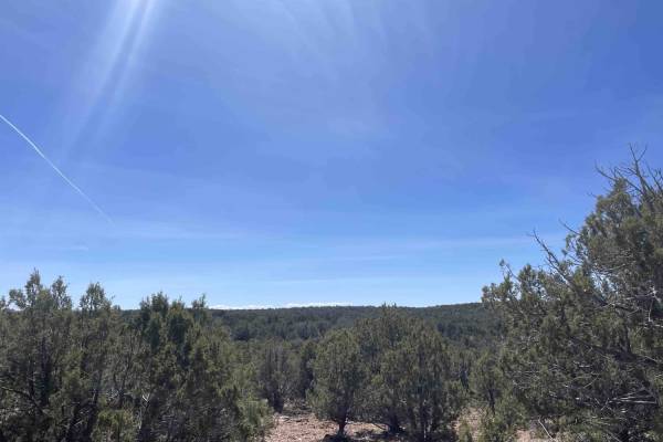
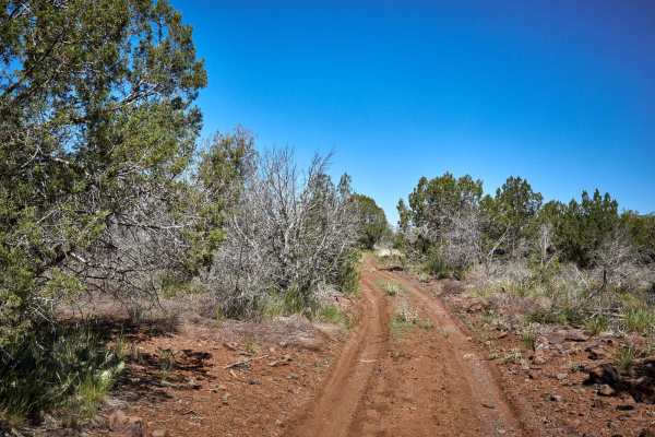
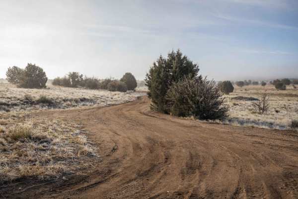
Juniper Meadows
This short out and back leg offers some tight technical turns. A chance to greet cattle around blind turns and see some spectacular large old juniper trees. While there is a small view at the end of the trail, it's not as epic as the Topo lines would have you believe. At least not without a short hi...
Learn more about Juniper Meadows
Prairie Train Trail
Prairie Train Trail is a beautiful, wide trail that traces the railroad tracks through the Prescott National Forest. While this trail may seem mellow and fast, erosion on the hills, and sneaky rocks urge you to slow down and enjoy the ride through the countryside. No obstacles are on this trail, but...
Learn more about Prairie Train Trail
Woodchute Mtn/Smiley Rock Connector
This trail provides a wide gentle drive through the beautiful rolling pastures outside of Prescott, AZ. A mellow backway into the nearby Smiley Rock Loop, this trail is two lanes wide, gradually narrowing as you head East, but not to worry, dear traveler, it stays wide enough to drive comfortably. W...
Learn more about Woodchute Mtn/Smiley Rock Connector
Fair Oaks to Spider Ranch
Fair Oaks Road, or Fair Oaks to Spider Ranch is a wide forest road with no obstacles on it. You'll find sections of this road are washboarded, as it gets a ton of traffic. It accesses ranches and remote neighborhoods in the area, as well as many other trails that lead through the Prescott National F...
Learn more about Fair Oaks to Spider Ranch
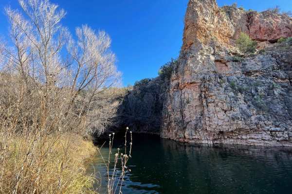
Sand Trap
A fast pace and fun little trail off of the Bob E Tank trail with access to the Verde River. I don't know why maps call this trail Sand Trap, as there is no sand that I saw, just dirt and rocks. The trail winds its way around juniper and pinion pine, and at the end of the line is a cul-de-sac parkin...
Learn more about Sand Trap
Los Ranchitos
This trail starts in the long grasses and sporadic juniper trees of the Prescott National Forest. As you proceed, the wide dirt trail bobs and weaves towards large rock outcroppings that might be fun to explore if you plan to take your time in the area. There are no large obstacles on this trail, on...
Learn more about Los Ranchitos
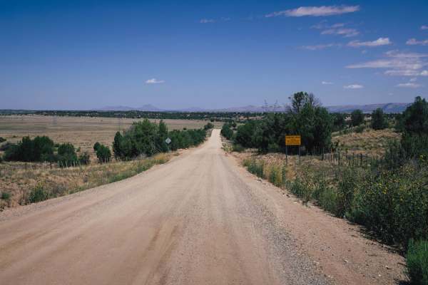
Drake Bypass
Drake Bypass is a well maintained gravel road that stretches just over 6.5 miles long. The road is plenty wide for vehicles to pass each other comfortably the entire way. There are several dry wash crossings along the way that may be prone to flooding. There is a sliver of private property along thi...
Learn more about Drake Bypass
Mud Tank
Mud Tank is a beautiful access trail to this section of the Prescott National Forest. Along this trail, you'll encounter erosion and wash crossings, some with off-camber entrances and exits. Sections of this trail get narrow, with paint damage possible if you're not paying attention. There are deep ...
Learn more about Mud Tank
Pipeline Road 796
Pipeline Road 796 is a pleasant drive through some of Arizona's beautiful country. This section of the road starts at the water crossing on its south end that links with trail 9031F. If one has a sufficient vehicle, the water crossing during monsoon season shouldn't be a problem. Thick mud and deep ...
Learn more about Pipeline Road 796
Beginner ATV trails near Paulden, Arizona
Explore ATV-friendly trails near you. These trails are accessible for vehicles up to 50 inches wide, perfect for ATVs and smaller off-road machines.
FS 635" The Locked Gate"
This easy, two-lane, forest grader takes you all the way to a locked gate. It also is the main graded road and access to the area to get across the train tracks and gain access to all the other trails in the area. Beyond the locked gate appears to be access to Verde River but not via this point. Whe...
Learn more about FS 635" The Locked Gate"
Northern Pipe Line Road
If you like mostly straight and mostly flat trails, this is the one for you. The road is here because of the gas pipeline that it parallels. There are a few mild transitions here and there. It could be super slimy when wet. It's a good access point for a few other trails. In the north, the trail end...
Learn more about Northern Pipe Line Road
Rock Butte View Trail
This mostly easy two-track trail diverts from the main Rock Butte trail and provides access to a few nice dispersed camping spots via a small shelf and a few rutted off-camber tracks. The meadow area has great views of the Butte. A short hike at the end of the trail provides an elevated view of Rock...
Learn more about Rock Butte View Trail
Not the Way Across the Tracks
This section of the Old 89 takes the driver from the new paved 89 back across the ridge to the old dirt section. There are quite a few nice dispersed camping spots near the beginning of the trail as long as you don't mind the noise from the nearby cement factory. When viewing the maps, it appears th...
Learn more about Not the Way Across the Tracks
Beginner UTV/side-by-side trails near Paulden, Arizona
Find UTV and side-by-side trails near you. These trails accommodate vehicles up to 60 inches wide, ideal for UTVs, side-by-sides, and wider off-road rigs.
FS 635" The Locked Gate"
This easy, two-lane, forest grader takes you all the way to a locked gate. It also is the main graded road and access to the area to get across the train tracks and gain access to all the other trails in the area. Beyond the locked gate appears to be access to Verde River but not via this point. Whe...
Learn more about FS 635" The Locked Gate"
Northern Pipe Line Road
If you like mostly straight and mostly flat trails, this is the one for you. The road is here because of the gas pipeline that it parallels. There are a few mild transitions here and there. It could be super slimy when wet. It's a good access point for a few other trails. In the north, the trail end...
Learn more about Northern Pipe Line Road
Rock Butte View Trail
This mostly easy two-track trail diverts from the main Rock Butte trail and provides access to a few nice dispersed camping spots via a small shelf and a few rutted off-camber tracks. The meadow area has great views of the Butte. A short hike at the end of the trail provides an elevated view of Rock...
Learn more about Rock Butte View Trail
Not the Way Across the Tracks
This section of the Old 89 takes the driver from the new paved 89 back across the ridge to the old dirt section. There are quite a few nice dispersed camping spots near the beginning of the trail as long as you don't mind the noise from the nearby cement factory. When viewing the maps, it appears th...
Learn more about Not the Way Across the Tracks
The onX Offroad Difference
onX Offroad combines trail photos, descriptions, difficulty ratings, width restrictions, seasonality, and more in a user-friendly interface. Available on all devices, with offline access and full compatibility with CarPlay and Android Auto. Discover what you're missing today!
Open Trail Map