
Beginner Off-Road Trails
Near Chino Valley, Arizona
Explore All Beginner Trails Near Chino Valley, Arizona
Beginner Off-Road Trails Near Chino Valley, Arizona
Discover the best beginner-friendly off-road trails near you. These easier, lower-rated trails are a great place to start — browse trail maps, check difficulty ratings, and find your next adventure.
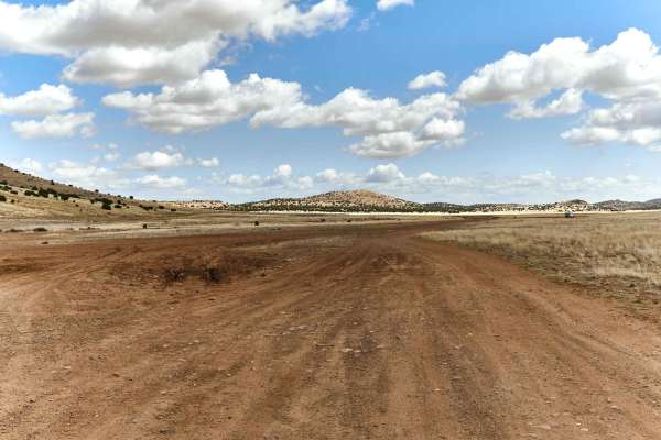
Muldoon / 638
Muldoon starts off as a gentle, wide, rolling trail. As you proceed North, out of the grassy pasture, the trail yields to off camber mudruts with whoop-like rollers in several spots. The further North, the rougher this trail gets with small ledges, steep rocky hill-climbs, and wash crossings. High c...
Learn more about Muldoon / 638
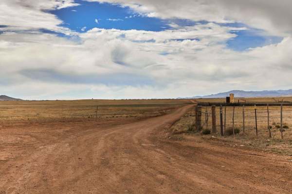
Woodchute Mtn/Smiley Rock Connector
This trail provides a wide gentle drive through the beautiful rolling pastures outside of Prescott, AZ. A mellow backway into the nearby Smiley Rock Loop, this trail is two lanes wide, gradually narrowing as you head East, but not to worry, dear traveler, it stays wide enough to drive comfortably. W...
Learn more about Woodchute Mtn/Smiley Rock Connector
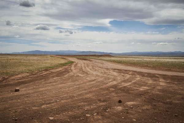
Pasture Blast
Pasture Blast is a wide rolling dirt road that cuts through the beautiful grassland of the Black Hills area outside of Prescott, AZ. Antelope, coyotes, and deer make this area their grazing ground due to the numerous water tanks in the area, as well as the abundance of food. Stunning views of the Mo...
Learn more about Pasture Blast
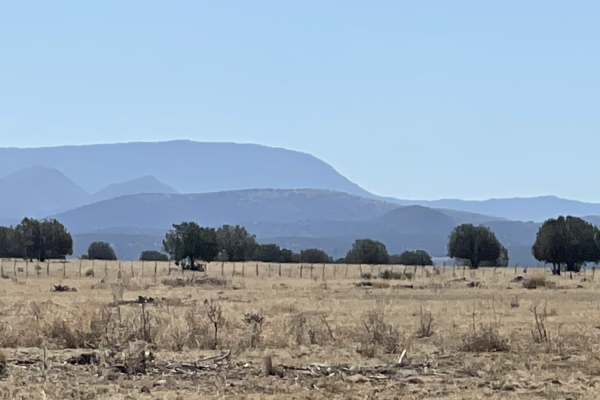
FS 635" The Locked Gate"
This easy, two-lane, forest grader takes you all the way to a locked gate. It also is the main graded road and access to the area to get across the train tracks and gain access to all the other trails in the area. Beyond the locked gate appears to be access to Verde River but not via this point. Whe...
Learn more about FS 635" The Locked Gate"
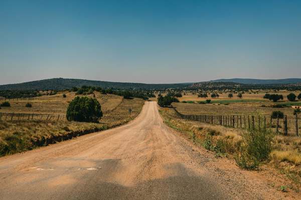
Fair Oaks to Spider Ranch
Fair Oaks Road, or Fair Oaks to Spider Ranch is a wide forest road with no obstacles on it. You'll find sections of this road are washboarded, as it gets a ton of traffic. It accesses ranches and remote neighborhoods in the area, as well as many other trails that lead through the Prescott National F...
Learn more about Fair Oaks to Spider Ranch
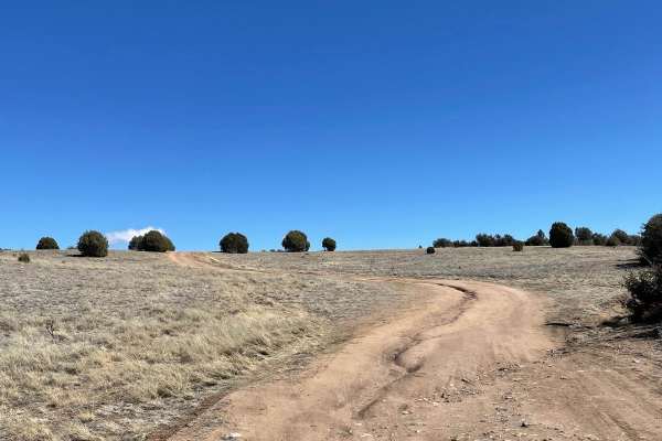
Dodging Junipers
This is a very short but fun trail that is just under 2 miles long. The road starts with a little hill climb and a small rut following the trail up. Once you get over the hill, there is a very nice flat camp spot on your right which overlooks Walker Tank and the surrounding area. After Walker Tank, ...
Learn more about Dodging Junipers
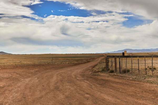
Woodchute Mtn/Smiley Rock Connector PART 2
This trail provides a wide gentle drive through the beautiful rolling pastures outside of Prescott, AZ. A mellow backway into the nearby Smiley Rock Loop, this trail is two lanes wide, gradually narrowing as you head East. Wildlife can be viewed along this trail, most commonly horses and antelope. T...
Learn more about Woodchute Mtn/Smiley Rock Connector PART 2
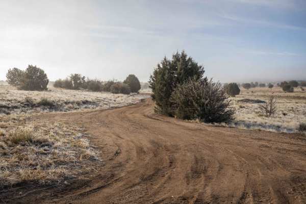
Los Ranchitos
This trail starts in the long grasses and sporadic juniper trees of the Prescott National Forest. As you proceed, the wide dirt trail bobs and weaves towards large rock outcroppings that might be fun to explore if you plan to take your time in the area. There are no large obstacles on this trail, on...
Learn more about Los Ranchitos
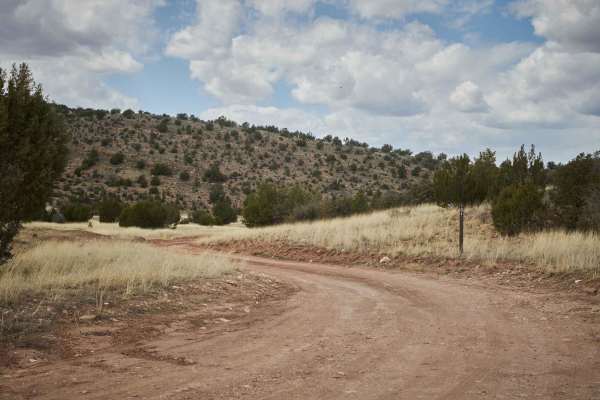
Bob E. Tank / 164
This hidden gem of a trail starts off wide and smooth. A short while in, it transitions to sporadic rock gardens and steep off-camber wash crossing that a shorter wheelbase and higher clearance vehicle would have no problem with. Cattle abound under the power lines, but when you make your way up the...
Learn more about Bob E. Tank / 164
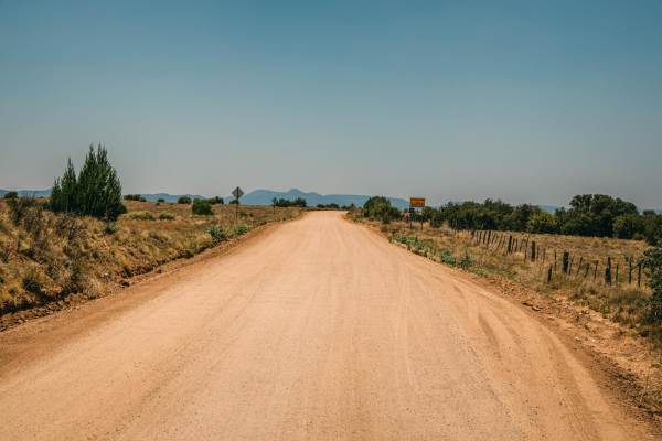
West Camp Wood East
West Camp Wood Road East is a wide dirt road that provides one of the main access points to many areas of the Prescott National Forest. At times, this road may have washboard conditions, as well as blind curves, so please keep your speed in check and take caution. This road is well traveled, and it'...
Learn more about West Camp Wood East
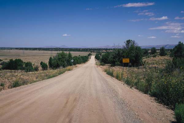
Williamson Valley Road
Williamson Valley Road is the main artery that accesses the Northern section of the Prescott National Forest. The road is somewhat maintained, with it being scraped and graded several times a year. The road is gravel, with some sections of washboards and curves, but overall there are no obstacles on...
Learn more about Williamson Valley Road
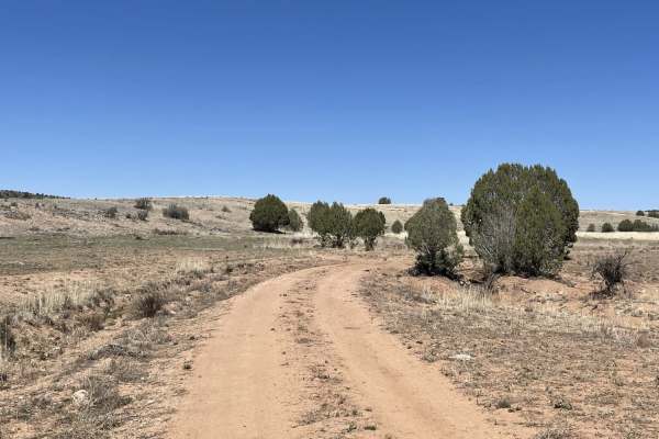
Just Grazing Trail
This short loop through the fields is clearly grazing grounds and a nice fun track to reconnect with the main road in and out of the area. This one completes the loop. It's easy and only has a few washouts and ruts. There are livestock gates here without signs, so please follow the open or closed ru...
Learn more about Just Grazing Trail
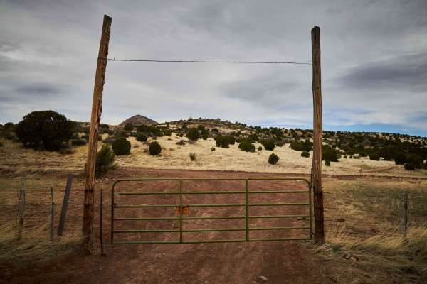
Coyote Ranch Road
This rocky single-lane dirt road bobs and weaves through the pastures outside of Prescott. An easy drive, this road is peppered with erosion and small G-outs due to the water paths that shape this area. Though there are no obstacles on this trail, there might be the occasional sneaky rock that pokes...
Learn more about Coyote Ranch Road
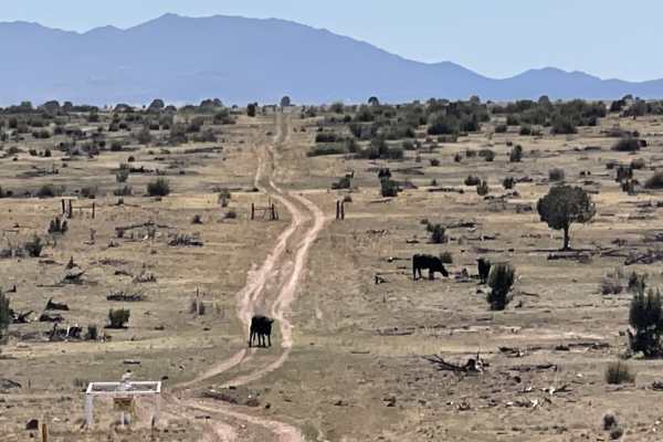
Northern Pipe Line Road
If you like mostly straight and mostly flat trails, this is the one for you. The road is here because of the gas pipeline that it parallels. There are a few mild transitions here and there. It could be super slimy when wet. It's a good access point for a few other trails. In the north, the trail end...
Learn more about Northern Pipe Line Road
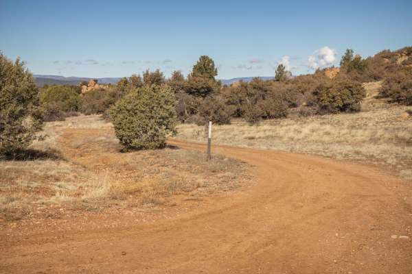
FR 9822C
This dirt two-track of a trail is a pretty mellow connector from the Los Ranchitos trail to the dirt superhighway that is Fair Oaks Road. On this trail, you'll find muddy spots, along with some narrow points between the juniper trees, the typcal foliage that dots this area of the Prescott National F...
Learn more about FR 9822C
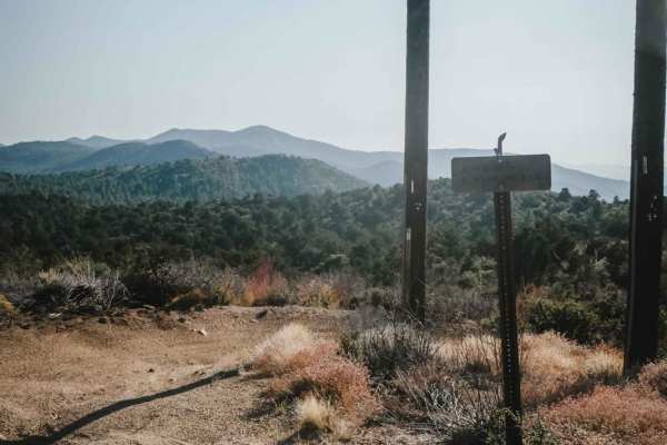
Trail 9
Trail 9 is a mile-long trail around the perimeter of the Alto Pit OHV area. It starts on the Power Line road at the edge of one of the towers and drops down off the hillside on a gravel surface two-track. It's a super curvy trail through lots of bushes and small trees in a high desert terrain, that ...
Learn more about Trail 9
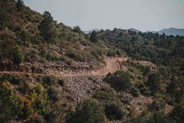
Alto Coop
Alto Coop is a 50" designated trail in the Prescott National Forest northwest of Prescott, Arizona, but the trail has recently been graded and widened to be road width, and now looks like it is being used to access the power lines. The road is easy, with some sharp corners and curves, and some sand,...
Learn more about Alto Coop
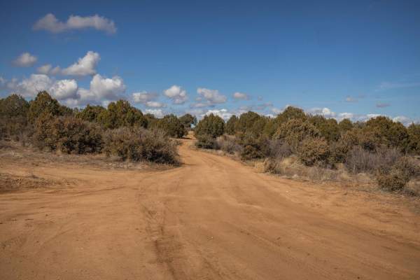
Javelina Problem
Javelina Problem is a typical access trail in the Arizona high desert. Dirt and wide, this trail was thought to access a larger loop. However, the loop does not exist as a fenceline has been put up to block access. Instead, the trail runs along the fenceline, narrowing into a dirtbike/quad trail. Ge...
Learn more about Javelina Problem
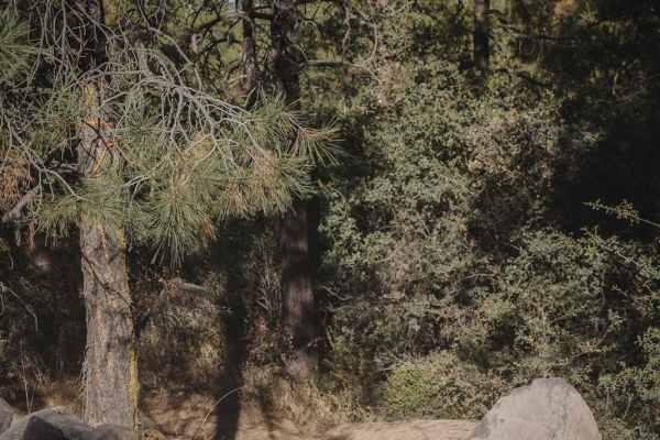
Trail 2
Trail 2 in the Alto Pit OHV area is the first trail accessed from the day-use staging area that will lead you to all of the other trails. It drops down into the gravel OHV area and takes the first left turn. It continues as a curvy two-track on a gravel surface through the high desert forest, with s...
Learn more about Trail 2
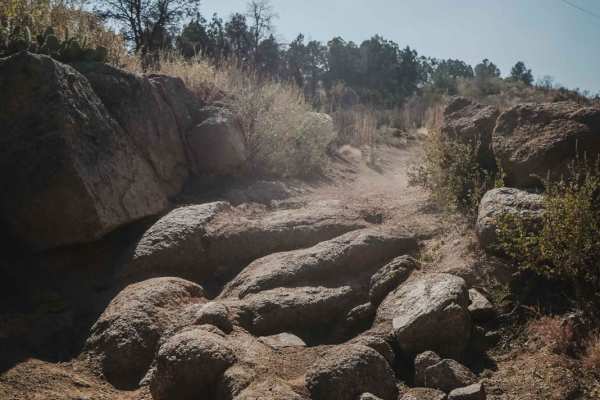
Trail 1
Trail 1 starts as a very easy and wide two-track on soft gravel, on a well-packed surface. It starts near the entrance to the OHV area and goes around the east perimeter of the area. It curves through the bushes, past prickly pear cacti, and granite boulders, with some fun banked corners. There are ...
Learn more about Trail 1
Beginner ATV trails near Chino Valley, Arizona
Explore ATV-friendly trails near you. These trails are accessible for vehicles up to 50 inches wide, perfect for ATVs and smaller off-road machines.
Muldoon / 638
Muldoon starts off as a gentle, wide, rolling trail. As you proceed North, out of the grassy pasture, the trail yields to off camber mudruts with whoop-like rollers in several spots. The further North, the rougher this trail gets with small ledges, steep rocky hill-climbs, and wash crossings. High c...
Learn more about Muldoon / 638
Woodchute Mtn/Smiley Rock Connector
This trail provides a wide gentle drive through the beautiful rolling pastures outside of Prescott, AZ. A mellow backway into the nearby Smiley Rock Loop, this trail is two lanes wide, gradually narrowing as you head East, but not to worry, dear traveler, it stays wide enough to drive comfortably. W...
Learn more about Woodchute Mtn/Smiley Rock Connector
Pasture Blast
Pasture Blast is a wide rolling dirt road that cuts through the beautiful grassland of the Black Hills area outside of Prescott, AZ. Antelope, coyotes, and deer make this area their grazing ground due to the numerous water tanks in the area, as well as the abundance of food. Stunning views of the Mo...
Learn more about Pasture Blast
FS 635" The Locked Gate"
This easy, two-lane, forest grader takes you all the way to a locked gate. It also is the main graded road and access to the area to get across the train tracks and gain access to all the other trails in the area. Beyond the locked gate appears to be access to Verde River but not via this point. Whe...
Learn more about FS 635" The Locked Gate"
Beginner UTV/side-by-side trails near Chino Valley, Arizona
Find UTV and side-by-side trails near you. These trails accommodate vehicles up to 60 inches wide, ideal for UTVs, side-by-sides, and wider off-road rigs.
Muldoon / 638
Muldoon starts off as a gentle, wide, rolling trail. As you proceed North, out of the grassy pasture, the trail yields to off camber mudruts with whoop-like rollers in several spots. The further North, the rougher this trail gets with small ledges, steep rocky hill-climbs, and wash crossings. High c...
Learn more about Muldoon / 638
Woodchute Mtn/Smiley Rock Connector
This trail provides a wide gentle drive through the beautiful rolling pastures outside of Prescott, AZ. A mellow backway into the nearby Smiley Rock Loop, this trail is two lanes wide, gradually narrowing as you head East, but not to worry, dear traveler, it stays wide enough to drive comfortably. W...
Learn more about Woodchute Mtn/Smiley Rock Connector
Pasture Blast
Pasture Blast is a wide rolling dirt road that cuts through the beautiful grassland of the Black Hills area outside of Prescott, AZ. Antelope, coyotes, and deer make this area their grazing ground due to the numerous water tanks in the area, as well as the abundance of food. Stunning views of the Mo...
Learn more about Pasture Blast
FS 635" The Locked Gate"
This easy, two-lane, forest grader takes you all the way to a locked gate. It also is the main graded road and access to the area to get across the train tracks and gain access to all the other trails in the area. Beyond the locked gate appears to be access to Verde River but not via this point. Whe...
Learn more about FS 635" The Locked Gate"
The onX Offroad Difference
onX Offroad combines trail photos, descriptions, difficulty ratings, width restrictions, seasonality, and more in a user-friendly interface. Available on all devices, with offline access and full compatibility with CarPlay and Android Auto. Discover what you're missing today!
Open Trail Map