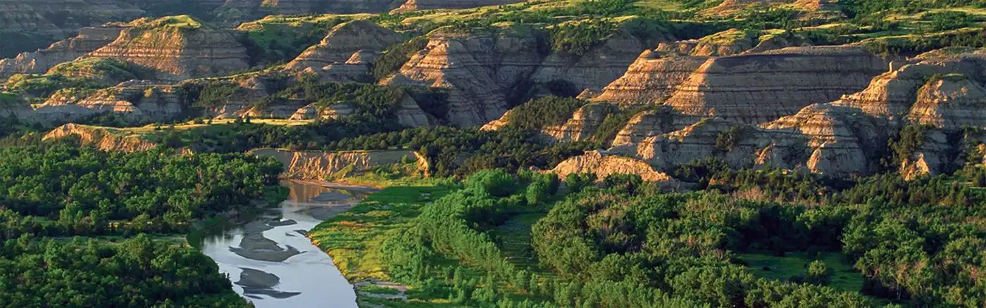
Beginner Off-Road Trails
Near Parmelee, South Dakota
Explore All Beginner Trails Near Parmelee, South Dakota
Beginner Off-Road Trails Near Parmelee, South Dakota
Discover the best beginner-friendly off-road trails near you. These easier, lower-rated trails are a great place to start — browse trail maps, check difficulty ratings, and find your next adventure.
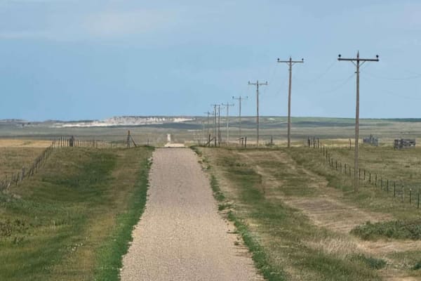
Horton Road - Northern Boundary of Badlands National Park
Horton Road is a remote two-track that runs along the northern boundary of Badlands National Park in South Dakota. This lightly maintained backcountry road cuts through open prairie terrain, with long, straight stretches flanked by grasslands, ranch fencing, and power lines.The trail provides expans...
Learn more about Horton Road - Northern Boundary of Badlands National Park
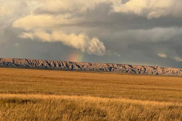
Conata Basin Road
Conata Basin Road is a two-lane gravel route that winds through the stunning expanse of Buffalo Gap National Grassland, leading straight into the heart of Badlands National Park. Beginning off SD-44 to the south, this scenic drive carries you northward, offering panoramic views of the wide-open prai...
Learn more about Conata Basin Road
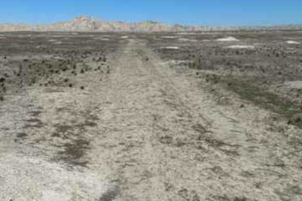
Sage Creek Conata West
This is a fun two-track dirt trail that gives you a glimpse into the grasslands and Badlands most people don't get to experience. You may encounter lots of prairie dogs and large herds of antelope. Do not attempt this trail if it is raining/snowing or if there has been moisture in the last week;it w...
Learn more about Sage Creek Conata West
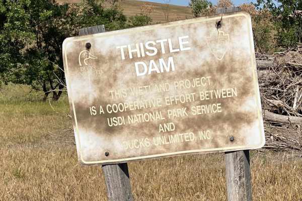
Grasslands to Badlands
This trail starts just off Interstate 90 at exit 116 in the Buffalo Gap National Grassland. It is a mostly straight trail southbound to the scenic drive through the Badlands National Park. It can be driven in either direction, but entering from the south end requires an entry fee to Badlands Nationa...
Learn more about Grasslands to Badlands
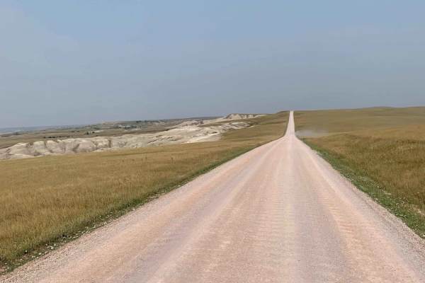
Sagecreek Rim Road
Sage Creek Rim Road is an accessible, scenic dirt and gravel route ideal for stock vehicles, overland rigs, and passenger cars seeking sweeping vistas of Badlands National Park. Running along the rim of the Sage Creek Basin, this well-maintained corridor offers stunning overlooks of rugged sandstone...
Learn more about Sagecreek Rim Road
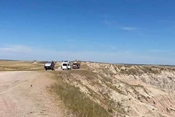
The Wall
This is a dirt trail that runs along the cliff edge of Buffalo National Grasslands overlooking part of the Badlands and offering numerous boondocking locations. Both north and south ends of the trail are along Highway 240. The trail offers expansive views of the northern parts of the Badlands to t...
Learn more about The Wall
Beginner ATV trails near Parmelee, South Dakota
Explore ATV-friendly trails near you. These trails are accessible for vehicles up to 50 inches wide, perfect for ATVs and smaller off-road machines.
Horton Road - Northern Boundary of Badlands National Park
Horton Road is a remote two-track that runs along the northern boundary of Badlands National Park in South Dakota. This lightly maintained backcountry road cuts through open prairie terrain, with long, straight stretches flanked by grasslands, ranch fencing, and power lines.The trail provides expans...
Learn more about Horton Road - Northern Boundary of Badlands National Park
Conata Basin Road
Conata Basin Road is a two-lane gravel route that winds through the stunning expanse of Buffalo Gap National Grassland, leading straight into the heart of Badlands National Park. Beginning off SD-44 to the south, this scenic drive carries you northward, offering panoramic views of the wide-open prai...
Learn more about Conata Basin Road
Grasslands to Badlands
This trail starts just off Interstate 90 at exit 116 in the Buffalo Gap National Grassland. It is a mostly straight trail southbound to the scenic drive through the Badlands National Park. It can be driven in either direction, but entering from the south end requires an entry fee to Badlands Nationa...
Learn more about Grasslands to Badlands
The Wall
This is a dirt trail that runs along the cliff edge of Buffalo National Grasslands overlooking part of the Badlands and offering numerous boondocking locations. Both north and south ends of the trail are along Highway 240. The trail offers expansive views of the northern parts of the Badlands to t...
Learn more about The Wall
Beginner UTV/side-by-side trails near Parmelee, South Dakota
Find UTV and side-by-side trails near you. These trails accommodate vehicles up to 60 inches wide, ideal for UTVs, side-by-sides, and wider off-road rigs.
Horton Road - Northern Boundary of Badlands National Park
Horton Road is a remote two-track that runs along the northern boundary of Badlands National Park in South Dakota. This lightly maintained backcountry road cuts through open prairie terrain, with long, straight stretches flanked by grasslands, ranch fencing, and power lines.The trail provides expans...
Learn more about Horton Road - Northern Boundary of Badlands National Park
Conata Basin Road
Conata Basin Road is a two-lane gravel route that winds through the stunning expanse of Buffalo Gap National Grassland, leading straight into the heart of Badlands National Park. Beginning off SD-44 to the south, this scenic drive carries you northward, offering panoramic views of the wide-open prai...
Learn more about Conata Basin Road
Grasslands to Badlands
This trail starts just off Interstate 90 at exit 116 in the Buffalo Gap National Grassland. It is a mostly straight trail southbound to the scenic drive through the Badlands National Park. It can be driven in either direction, but entering from the south end requires an entry fee to Badlands Nationa...
Learn more about Grasslands to Badlands
The Wall
This is a dirt trail that runs along the cliff edge of Buffalo National Grasslands overlooking part of the Badlands and offering numerous boondocking locations. Both north and south ends of the trail are along Highway 240. The trail offers expansive views of the northern parts of the Badlands to t...
Learn more about The Wall
The onX Offroad Difference
onX Offroad combines trail photos, descriptions, difficulty ratings, width restrictions, seasonality, and more in a user-friendly interface. Available on all devices, with offline access and full compatibility with CarPlay and Android Auto. Discover what you're missing today!
Open Trail Map