
Beginner Off-Road Trails
Near Oak Hill, West Virginia
Explore All Beginner Trails Near Oak Hill, West Virginia
Beginner Off-Road Trails Near Oak Hill, West Virginia
Discover the best beginner-friendly off-road trails near you. These easier, lower-rated trails are a great place to start — browse trail maps, check difficulty ratings, and find your next adventure.
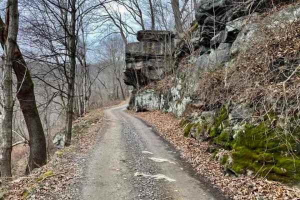
CR 25/2 - Beury Mountain Road
Enjoy a scenic drive over Beury Mountain. You will have a beautiful view of The New River along with exposed rock faces as you go up the mountain out of Thurmond. As you crest the top of the mountain you will see numerous boulders lying on the forest floor and maybe some wildlife like deer and turke...
Learn more about CR 25/2 - Beury Mountain Road
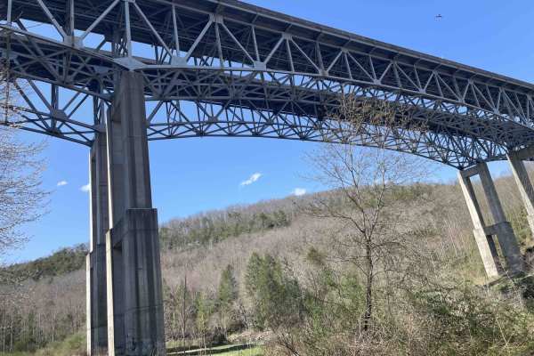
Meadow & Gauley Rivers Access Trail
The Meadow & Gauley Rivers Access Trail offers an exceptional multi-use overlanding adventure for offroaders, campers, and outdoor enthusiasts looking to explore West Virginia's rugged river canyons. Spanning approximately 18.2 miles along a repurposed historic railroad grade, this scenic route wind...
Learn more about Meadow & Gauley Rivers Access Trail
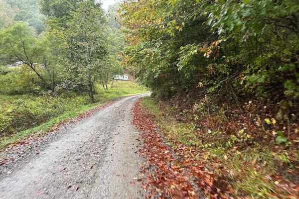
3 Green
3 Green should be 3 Mud because once the rains start, the green turns to mud. This windy uneven trail has various small to medium-sized rocks scattered throughout and there will be very slight up-and-down hills. Muddy obstacles can be found along the way and the depth will vary depending on recent r...
Learn more about 3 Green
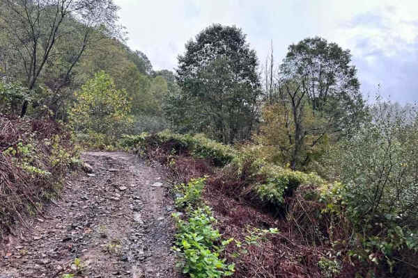
30 Green
30 Green is going to throw a wide variety of terrain and obstacles at you. So, get ready! Through the woods and into the clearing, then back to the woods, downed trees and logs can be found along the way as well as various small to medium-sized rocks, washed out trails with slippery conditions.
Learn more about 30 Green
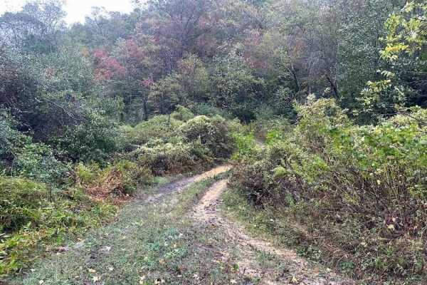
15 Green
On the map, there are different sections of Trail 15 that are broken up with the Tams loop. 15 was originally a complete trail but these sections all lead to parts of the Tams. This section has water puddles with mud and a beautiful laurel tunnel section. Taking this bypasses a corner of the Tams Lo...
Learn more about 15 Green
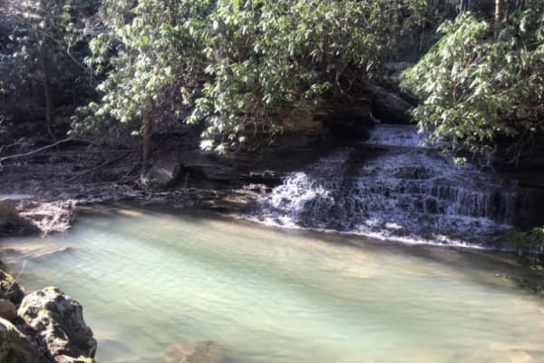
Panther Mountains
Panther Mountains is a scenic and approachable 9.6-mile route perfect for stock four-wheel-drive vehicles, SxSs, and overlanders seeking to explore the rugged heart of the Gauley River National Recreation Area. Winding through dense West Virginia hardwood forests, this trail offers an easy-going tec...
Learn more about Panther Mountains
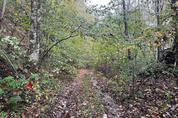
90A Black
This short trail is a nice easier entrance to trail 90. Taking this bypasses the hill/decent part of 90 which is really rocky and slippery. 90A is mostly flat and easier with some tighter areas and puddles. Using these easier sections can tame Trail 90 if you are planning it as a shortcut.
Learn more about 90A Black
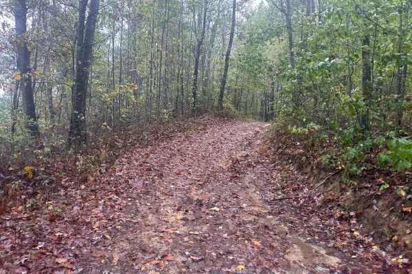
49 Blue
This is a crossover trail from Tams and 32 to 58. Expect lots of mud puddles and ruts. The trail starts as an old road of sorts and turns into a trail and goes out on the powerline to connect to 58. This makes a nice upper-corner loop for trail flow.
Learn more about 49 Blue
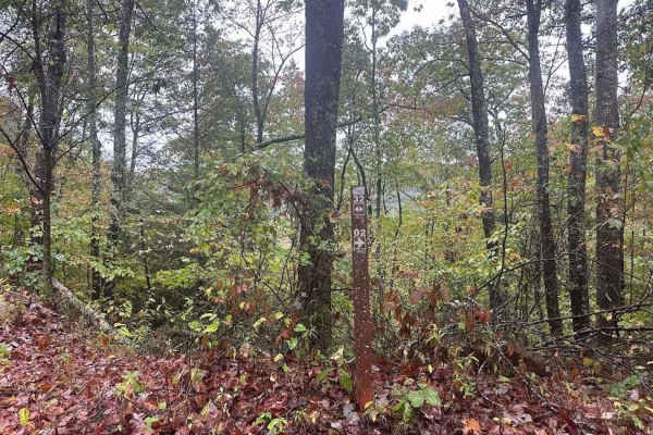
32 Green
32 is a short hill that goes from the play area/old track up to the Tams loop. It is a slight rock hill but easy to traverse and can be used to enter or exit Tams trail. Taking this gets you around some of the tight areas at the start of the Tams or gets you to the fun areas faster.
Learn more about 32 Green
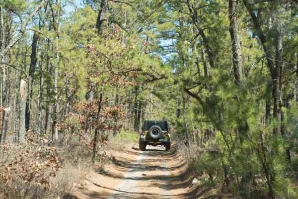
44/1 Bellwood Corporation Mine (Ford Knob Road)
This trail loops the road to Springdale bypass. That sounds like a good name for a road long forgotten. County road 44/1 is a road the locals use for recreation and your constant use will keep the DOH from closing. If you are on the Springdale side the DOH sign is marked at 44/1 Ford Knob Road. This...
Learn more about 44/1 Bellwood Corporation Mine (Ford Knob Road)
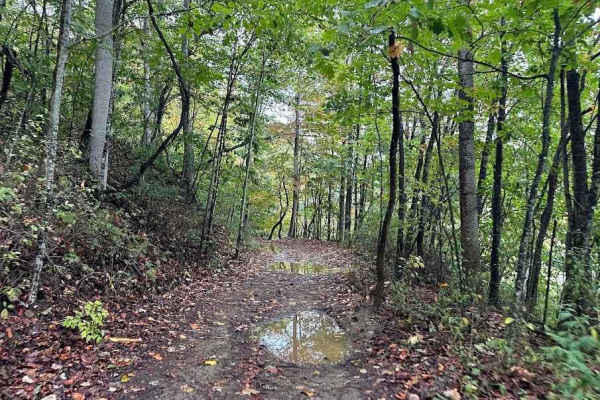
2 Green
2 green is an easier way up the mountain. It is a short loop off of the Tams trail that connects back to the Tams. Use this to mix up your trail choices. Be careful this trail is a little brushy and can be overgrown at certain times of the year.
Learn more about 2 Green
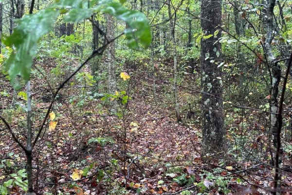
172 Single Track
This single track can be easy or very difficult. These trails are narrow with ruts, challenges, and sometimes sketchy spots that may not be suitable for beginners. Approach with caution and be careful. Trails change constantly and can get more challenging. Events that utilize these trails can also...
Learn more about 172 Single Track
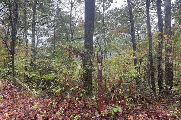
32 Blue
Part of this trail is smooth and has a wide width but some of it is rocky and narrow for more atv and sxs width. When wet this trail can be slimy and full of ruts and wet rocks. Using this trail to get up to 49 or 58 helps create a flowing route to Dragons Head.
Learn more about 32 Blue
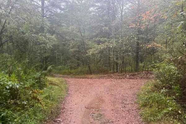
37 Blue
37 Blue is a flowing trail with ruts and small rocks while weaving along the side of a mountain. It starts in a flatter more open area and then makes a few sharp turns while going up the mountain. The end currently has a nice washout that you should be cautious of.
Learn more about 37 Blue
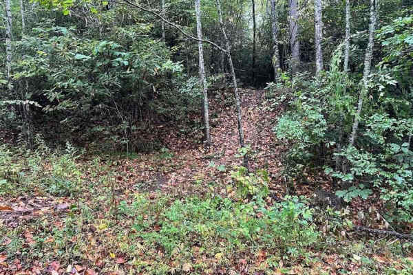
199 Single Track
This single track can be easy or very difficult. These trails are narrow with ruts, challenges, and sometimes sketchy spots that may not be suitable for beginners. Approach with caution and be careful. Trails change constantly and can get more challenging. Events that utilize these trails can also c...
Learn more about 199 Single Track
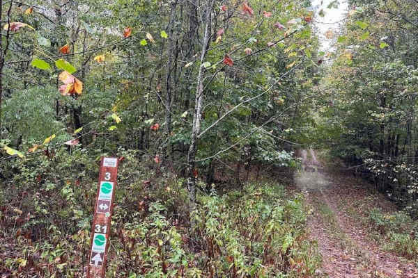
31 Green
31 Green will take you through the woods where you will encounter a tighter trail with ruts, slightly off-camber areas, small rocks, and a few shallow water and or mud obstacles. If rain or snow has fallen the trail will become more slippery. Downed trees or logs can be found along the way.
Learn more about 31 Green
KC20A
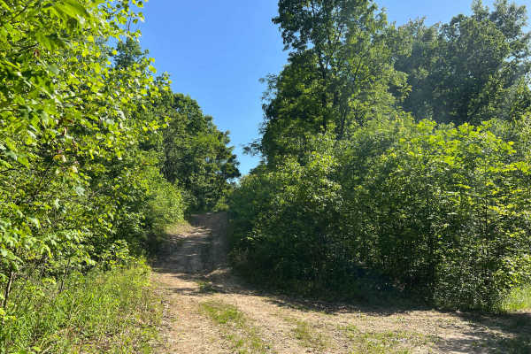
KC20A is a short out-and-back trail to a well site with a large flat grassy area giving plenty of room to turn around. Along the route are some minor ruts and mud puddles, but no real obstacles to contend with. The trail surface is dirt, and while the road grade is wide, vegetation has grown in such...
Learn more about KC20A

167 Single Track
Single track trails are a challenging mix of tight narrow sections with some barely handle bar width. The trails can have large climbs, drop-offs, and technical sections. These trails are built more for the experienced rider and can be dangerous for beginner riders. Use caution and be prepared.
Learn more about 167 Single Track
170 Single Track
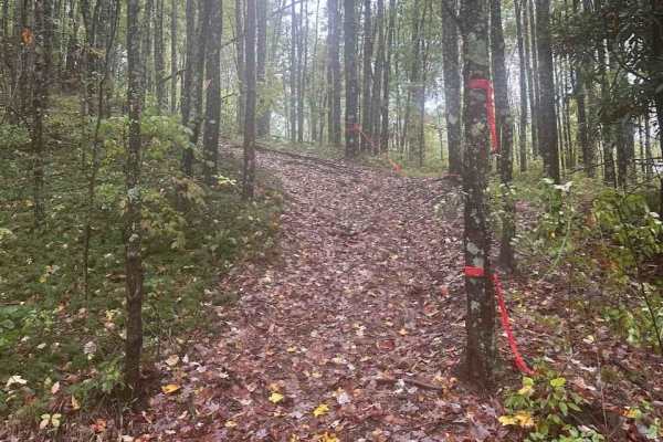
This single track can be easy or very difficult. These trails are narrow, with ruts, challenges, and sometimes sketchy spots that may not be suitable for beginners. Approach with caution and be careful. Trails change constantly and can get more challenging. Events that utilize these trails can also ...
Learn more about 170 Single Track
7 Green
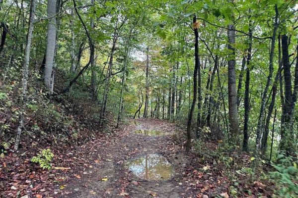
Trail 7 is a cut-through easier trail that helps split trails to shortcut to wherever you want to go. This connects between the Tams trail and trail 32, and two different parts of 32. The whole area on top of this hill is a fun trail mix and any of these trails are enjoyable to add together.
Learn more about 7 Green
Beginner ATV trails near Oak Hill, West Virginia
Explore ATV-friendly trails near you. These trails are accessible for vehicles up to 50 inches wide, perfect for ATVs and smaller off-road machines.
Meadow & Gauley Rivers Access Trail
The Meadow & Gauley Rivers Access Trail offers an exceptional multi-use overlanding adventure for offroaders, campers, and outdoor enthusiasts looking to explore West Virginia's rugged river canyons. Spanning approximately 18.2 miles along a repurposed historic railroad grade, this scenic route wind...
Learn more about Meadow & Gauley Rivers Access Trail
3 Green
3 Green should be 3 Mud because once the rains start, the green turns to mud. This windy uneven trail has various small to medium-sized rocks scattered throughout and there will be very slight up-and-down hills. Muddy obstacles can be found along the way and the depth will vary depending on recent r...
Learn more about 3 Green
30 Green
30 Green is going to throw a wide variety of terrain and obstacles at you. So, get ready! Through the woods and into the clearing, then back to the woods, downed trees and logs can be found along the way as well as various small to medium-sized rocks, washed out trails with slippery conditions.
Learn more about 30 Green
15 Green
On the map, there are different sections of Trail 15 that are broken up with the Tams loop. 15 was originally a complete trail but these sections all lead to parts of the Tams. This section has water puddles with mud and a beautiful laurel tunnel section. Taking this bypasses a corner of the Tams Lo...
Learn more about 15 Green
Beginner UTV/side-by-side trails near Oak Hill, West Virginia
Find UTV and side-by-side trails near you. These trails accommodate vehicles up to 60 inches wide, ideal for UTVs, side-by-sides, and wider off-road rigs.
Meadow & Gauley Rivers Access Trail
The Meadow & Gauley Rivers Access Trail offers an exceptional multi-use overlanding adventure for offroaders, campers, and outdoor enthusiasts looking to explore West Virginia's rugged river canyons. Spanning approximately 18.2 miles along a repurposed historic railroad grade, this scenic route wind...
Learn more about Meadow & Gauley Rivers Access Trail
3 Green
3 Green should be 3 Mud because once the rains start, the green turns to mud. This windy uneven trail has various small to medium-sized rocks scattered throughout and there will be very slight up-and-down hills. Muddy obstacles can be found along the way and the depth will vary depending on recent r...
Learn more about 3 Green
30 Green
30 Green is going to throw a wide variety of terrain and obstacles at you. So, get ready! Through the woods and into the clearing, then back to the woods, downed trees and logs can be found along the way as well as various small to medium-sized rocks, washed out trails with slippery conditions.
Learn more about 30 Green
15 Green
On the map, there are different sections of Trail 15 that are broken up with the Tams loop. 15 was originally a complete trail but these sections all lead to parts of the Tams. This section has water puddles with mud and a beautiful laurel tunnel section. Taking this bypasses a corner of the Tams Lo...
Learn more about 15 Green
The onX Offroad Difference
onX Offroad combines trail photos, descriptions, difficulty ratings, width restrictions, seasonality, and more in a user-friendly interface. Available on all devices, with offline access and full compatibility with CarPlay and Android Auto. Discover what you're missing today!
Open Trail Map