
Beginner Off-Road Trails
Near Nezperce, Idaho
Explore All Beginner Trails Near Nezperce, Idaho
Beginner Off-Road Trails Near Nezperce, Idaho
Discover the best beginner-friendly off-road trails near you. These easier, lower-rated trails are a great place to start — browse trail maps, check difficulty ratings, and find your next adventure.
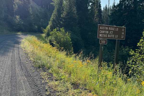
Lolo Motorway (aka FS Rd #500)
The Lolo Motorway(Forest Road 500) is a roughly 95-mile narrow, winding primitive road. The single-lane road, partially built by the Civilian Conservation Corps in the 1930, travels close to the Nez Perce Trail. Portions of this road are single-lane, and there are washouts. High clearance 4x4 onl...
Learn more about Lolo Motorway (aka FS Rd #500)
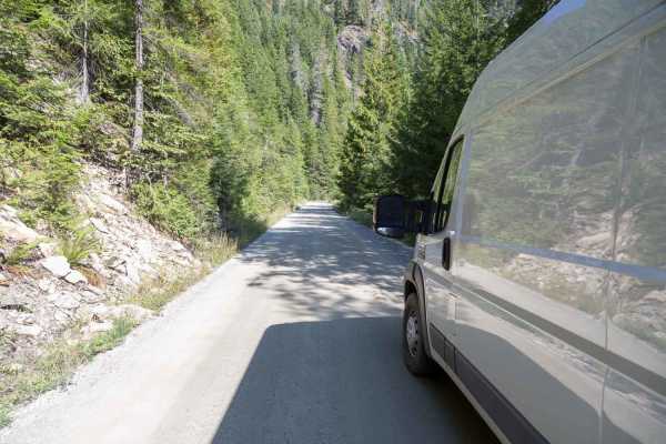
Pierce to Superior FS 250
This route follows French Creek until it reaches Orogrande Creek. It continues along Orogrande Creek until it meets the north fork of the Clearwater River. This junction includes both the Bungalow Creek Ranger Station and Bungalow Creek Campground as well as several large dispersed camping sites. Th...
Learn more about Pierce to Superior FS 250
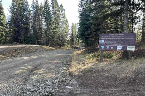
Eagle Creek - FS 35001
Eagle Creek is a 17.3-mile out-and-back trail that starts in the Craig Mountains at an elevation of 4,959' before descending to the Salmon River at 1,080'. The first 11 miles make up the descent, as the trail winds down through a tight, steep canyon along a creek sharing its name. This section is a ...
Learn more about Eagle Creek - FS 35001
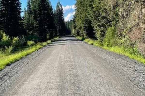
Pierce to Dworshak Reservoir/Grandad Bridge
This scenic route leaves Pierce via Snake Creek Road before turning off onto Calhoun Road. This is a very easy, well-maintained gravel road that is wide enough for two vehicles to pass. It is a lengthy route that snakes through the mountains and offers some premium views. There are several disperse...
Learn more about Pierce to Dworshak Reservoir/Grandad Bridge
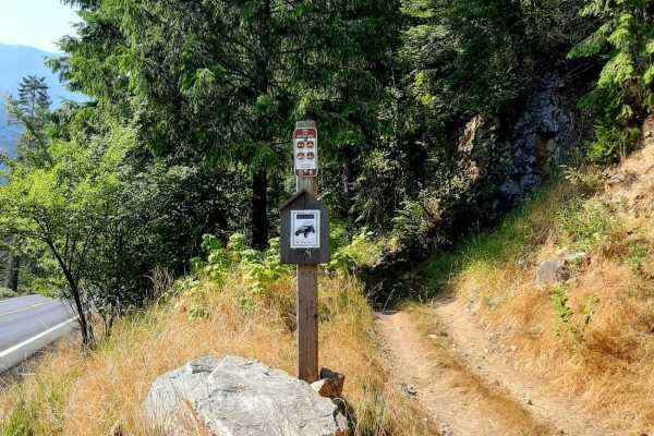
Van Camp trail 16
Trailhead is off the highway with limited parking of about 200 feet of one-lane parking. Use caution when unloading, as this part of the highway can get busy during spring and early summer with rafters, kayakers, and others.The trail is not far from Lowell, Idaho. With a population of 23, it does no...
Learn more about Van Camp trail 16
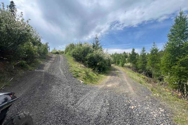
Dinner Bucket Road
Dinner bucket road for 2 2-mile ride one way. Potlatch permit required. At the Y of Forest Service Road 4772. The road is dirt/rock and is an old logging road that runs along a ridge off Park Road. This is usually gated for 50 inch or smaller, but currently the gate is down off the Park road side. I...
Learn more about Dinner Bucket Road
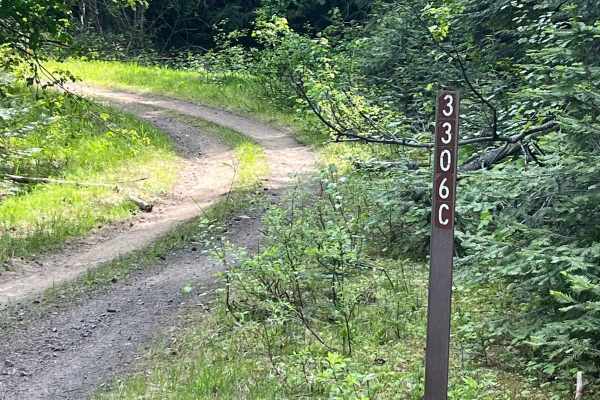
Forest Service Road 3306C
Forest Service Road 3306C off of 4772. 1.8 miles one way, Dirt track through the woods. It is an easy ride, except it is narrow in some places due to overgrowth and downed trees that are over part of the old logging road. Climb up through trees and drop back down into the clear-cut area. Part of thi...
Learn more about Forest Service Road 3306C
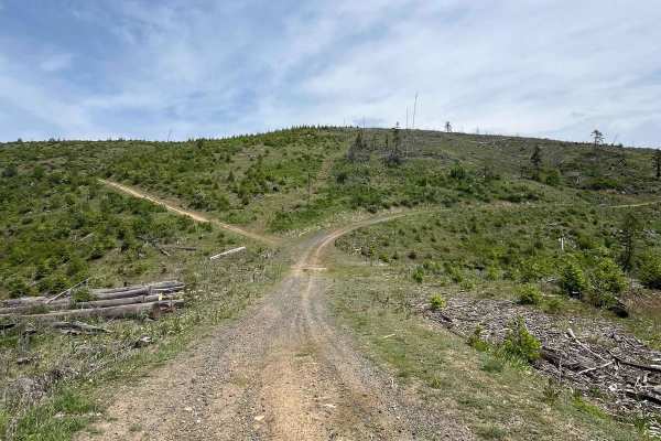
National Forrest Development Road 3308
This is part of a track that goes up to McGary Butte. There are multiple ways to get to the top. This is an old logging road that goes through clearcuts and has amazing views of the surrounding area. Some run-off areas are harder to navigate on the track. The track surface is dirt, rock, and sand in...
Learn more about National Forrest Development Road 3308
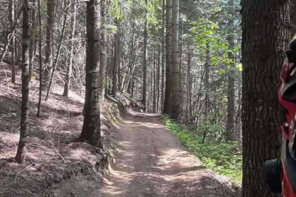
Partridge Creek OHV Trail 8290
The Partridge Creek Trail is a 50-inch-wide trail that steadily climbs from the Partridge Creek campground and into the mountains towards Elk Butte. It has its share of windy corners, back-and-forth switchbacks, and climbs/drops as you work your way up the hill. Most of the trail is through shady ti...
Learn more about Partridge Creek OHV Trail 8290
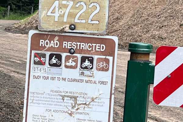
Little Bolder - FS 4772
Forest service road 4772 gated road for 50 inch or less. Parking area nearby and the Little Bolder campground, along with pit toilets. Rock dirt road with lots of spur roads to go on off this main road. Watch for logging activity at the time of logging the trail. This is an old logging road that has...
Learn more about Little Bolder - FS 4772
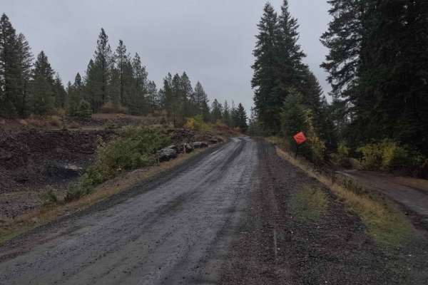
Schoolhouse Gulch - FS 4761
Schoolhouse Gulch is a 7-mile out-and-back trail that starts near Little Boulder Campground. It is a slow and steady climb for its entire length, ending at a small clearing. The road surface is mostly smooth gravel, with a few sections of slick mud after a rain. There are a couple of areas where the...
Learn more about Schoolhouse Gulch - FS 4761
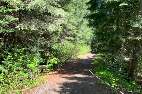
Shattuck Butte
This trail takes you from the Elk Creek Basin and up over Shattuck Butte down to Morris Creek. The route starts by climbing up West Fork. Lindley Creek Road and then over several logging roads - some of which are cut with sharp water bars - before descending down Morris Creek back to the Upper Basin...
Learn more about Shattuck Butte
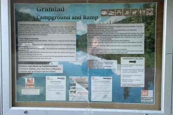
Grandad Road (Elk River to Dworshak Reservoir)
This long dusty road is heavily timbered & logged at this time. The road is wide enough for two vehicles to pass, there are some narrow areas around switchbacks though. Be aware of logging trucks coming off this mountain. Elk River is the nearest town with amenities like fuel, a general store, resta...
Learn more about Grandad Road (Elk River to Dworshak Reservoir)
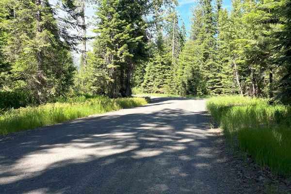
Elk Creek
Easy Forest Service road ride from Elk River to Giant Cedar Grove turn-off. The road follows the Elk Creek through the cedars and other trees. There are several camping options along the way. Watch for other vehicles as this can be busy on weekends. The Giant Cedar is something worth seeing.
Learn more about Elk Creek
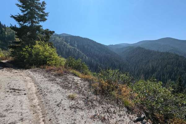
Fish Butte Saddle
Turn off of Fish Creek trail at and cross Fish Creek to reach the Fish Buttle Saddle ATV trail at the following coordinates: 46.34508, -115.42648. This trail climbs 3.4 miles up to Middle Butte Road. The ATV trail is beautiful and follows an ATV trail deep in the forest. Continue up Middle Butte roa...
Learn more about Fish Butte Saddle
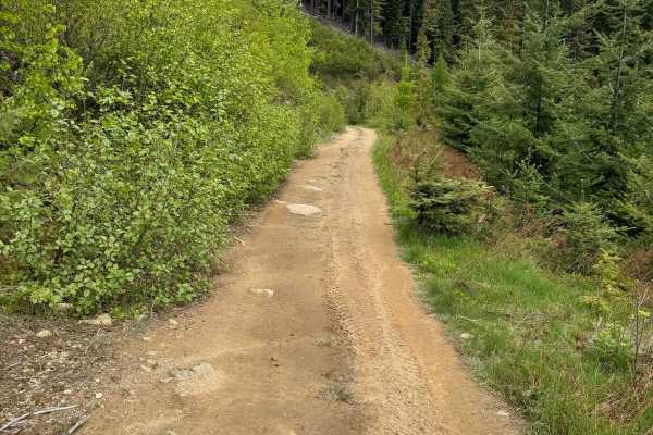
Elk-Morris Connection
This trail, while short, is a nice 50-inch route that cuts over from the area of the Elk Creek Basin to Morris Creek. It is a great addition to a loop route through the area to get some elevation, open views, and some nice shady timber. It has a few good spots to pull off and stretch your legs or ha...
Learn more about Elk-Morris Connection
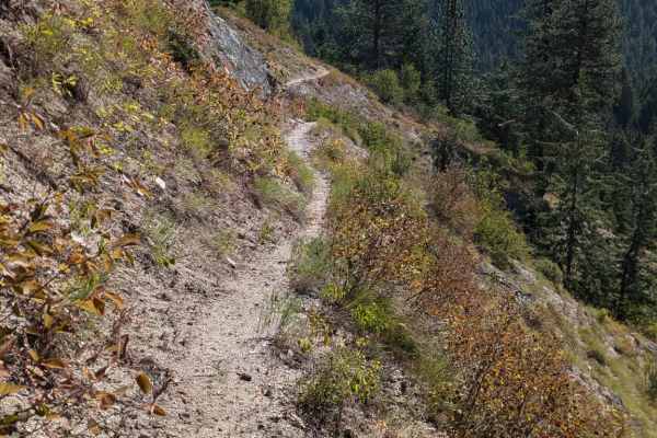
Fish Butte
This is a beautiful single-track trail that, when ridden in combination with Fish Creek and Fish Butte Saddle ATV trail, forms a fantastic loop. Fish Butte Trail Starts from either the Middle Butte Road or the Fish Creek Road, depending on the direction you ride. This five-mile trail is mainly compo...
Learn more about Fish Butte
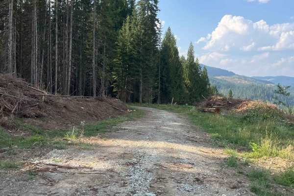
Little Meadow Creek OHV Campground
Army Corp campground with OHV access only. 1.3 miles (10 minutes) off PFI road to Grandad bridge around mile marker 19 1/2. There is a sign for this trail just past Grandad Bridge. The road goes through clear cut before there is a gate with a 50-inch access opening you need to use to head down to th...
Learn more about Little Meadow Creek OHV Campground
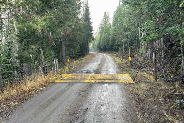
Potlatch River - FS 3332
Potlatch River is a 3.5-mile point-to-point power-line road that starts at the end of Fork Rd on the southwest side, snaking up through a section of the Clearwater National Forest before breaking out into a clearing and following power lines for the rest of its length, connecting with ID8 just south...
Learn more about Potlatch River - FS 3332
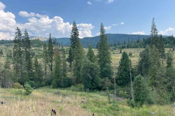
Little Meadow Creek Road
This is a 5-mile easy one-way gravel road off of the main road to Grandad Bridge (PFI road). Potlatch Corp ground permit may be required if you leave the main road. The road winds through areas of clear-cuts and forest with lots of different types of vegetation to see. The track follows the creek fo...
Learn more about Little Meadow Creek Road
Beginner ATV trails near Nezperce, Idaho
Explore ATV-friendly trails near you. These trails are accessible for vehicles up to 50 inches wide, perfect for ATVs and smaller off-road machines.
Lolo Motorway (aka FS Rd #500)
The Lolo Motorway(Forest Road 500) is a roughly 95-mile narrow, winding primitive road. The single-lane road, partially built by the Civilian Conservation Corps in the 1930, travels close to the Nez Perce Trail. Portions of this road are single-lane, and there are washouts. High clearance 4x4 onl...
Learn more about Lolo Motorway (aka FS Rd #500)
Pierce to Superior FS 250
This route follows French Creek until it reaches Orogrande Creek. It continues along Orogrande Creek until it meets the north fork of the Clearwater River. This junction includes both the Bungalow Creek Ranger Station and Bungalow Creek Campground as well as several large dispersed camping sites. Th...
Learn more about Pierce to Superior FS 250
Eagle Creek - FS 35001
Eagle Creek is a 17.3-mile out-and-back trail that starts in the Craig Mountains at an elevation of 4,959' before descending to the Salmon River at 1,080'. The first 11 miles make up the descent, as the trail winds down through a tight, steep canyon along a creek sharing its name. This section is a ...
Learn more about Eagle Creek - FS 35001
Pierce to Dworshak Reservoir/Grandad Bridge
This scenic route leaves Pierce via Snake Creek Road before turning off onto Calhoun Road. This is a very easy, well-maintained gravel road that is wide enough for two vehicles to pass. It is a lengthy route that snakes through the mountains and offers some premium views. There are several disperse...
Learn more about Pierce to Dworshak Reservoir/Grandad Bridge
Beginner UTV/side-by-side trails near Nezperce, Idaho
Find UTV and side-by-side trails near you. These trails accommodate vehicles up to 60 inches wide, ideal for UTVs, side-by-sides, and wider off-road rigs.
Lolo Motorway (aka FS Rd #500)
The Lolo Motorway(Forest Road 500) is a roughly 95-mile narrow, winding primitive road. The single-lane road, partially built by the Civilian Conservation Corps in the 1930, travels close to the Nez Perce Trail. Portions of this road are single-lane, and there are washouts. High clearance 4x4 onl...
Learn more about Lolo Motorway (aka FS Rd #500)
Pierce to Superior FS 250
This route follows French Creek until it reaches Orogrande Creek. It continues along Orogrande Creek until it meets the north fork of the Clearwater River. This junction includes both the Bungalow Creek Ranger Station and Bungalow Creek Campground as well as several large dispersed camping sites. Th...
Learn more about Pierce to Superior FS 250
Eagle Creek - FS 35001
Eagle Creek is a 17.3-mile out-and-back trail that starts in the Craig Mountains at an elevation of 4,959' before descending to the Salmon River at 1,080'. The first 11 miles make up the descent, as the trail winds down through a tight, steep canyon along a creek sharing its name. This section is a ...
Learn more about Eagle Creek - FS 35001
Pierce to Dworshak Reservoir/Grandad Bridge
This scenic route leaves Pierce via Snake Creek Road before turning off onto Calhoun Road. This is a very easy, well-maintained gravel road that is wide enough for two vehicles to pass. It is a lengthy route that snakes through the mountains and offers some premium views. There are several disperse...
Learn more about Pierce to Dworshak Reservoir/Grandad Bridge
The onX Offroad Difference
onX Offroad combines trail photos, descriptions, difficulty ratings, width restrictions, seasonality, and more in a user-friendly interface. Available on all devices, with offline access and full compatibility with CarPlay and Android Auto. Discover what you're missing today!
Open Trail Map