
Beginner Off-Road Trails
Near Midland, Arkansas
Explore All Beginner Trails Near Midland, Arkansas
Beginner Off-Road Trails Near Midland, Arkansas
Discover the best beginner-friendly off-road trails near you. These easier, lower-rated trails are a great place to start — browse trail maps, check difficulty ratings, and find your next adventure.
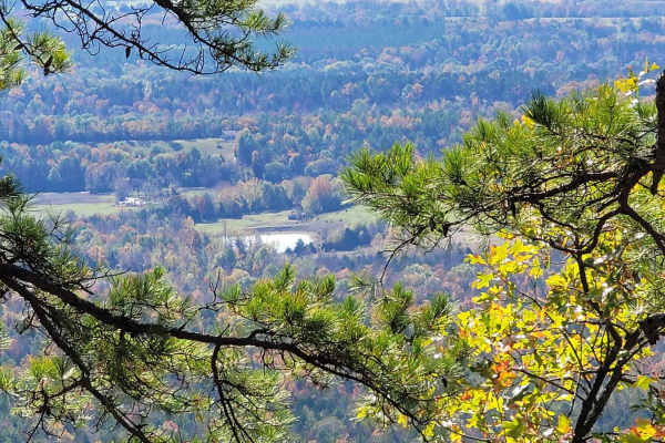
Poteau West
Leaving a fork in the road that accesses a cell tower road, this trail west ends at a pull-off with an awesome view. This trail is fairly smooth with some steep areas, sharp curves, and loose gravel. There is a nice dispersed campsite along this trail. Several wildlife ponds are along this trail. Mo...
Learn more about Poteau West

Poteau Tower
Perfect for high-clearance four-wheel-drive vehicles and SxSs looking for a scenic climb, Poteau Tower offers access to stunning ridgeline views, dispersed campsites, and wildlife-watching opportunities. Spanning approximately 6.2 miles, this route climbs from a low point of 1,806 feet up to a peak ...
Learn more about Poteau Tower
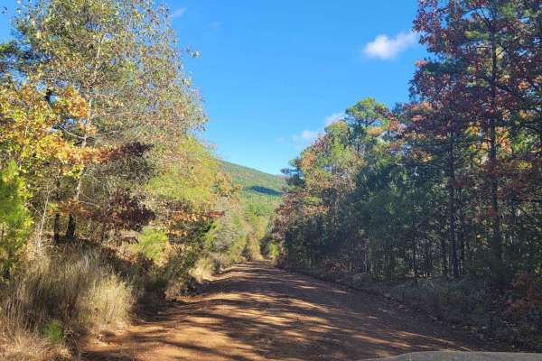
Poteau Mountain And Rail Tracks
This gravel road travels the south side of Poteau Mountain. It begins at a fork in the road if going east and ends at a railroad track. Highway 28 is just past the tracks. The gravel road has shallow water crossings and beautiful views. This winding forest road is fun to drive as it takes you out of...
Learn more about Poteau Mountain And Rail Tracks
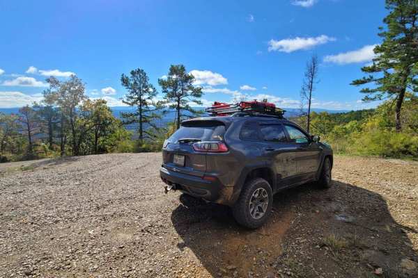
Poteau Mountain South
Leaving an awesome viewing spot and continuing down the west side of Poteau Mountain, this gravel road does not disappoint for views. As you wind your way down in elevation you will want to watch the slippery gravel. Descending this trail section has great views of the valley below. This trail ends...
Learn more about Poteau Mountain South
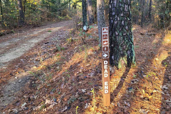
Bouncing on Poteau
This section of trail on Poteau Mountain is a very rough section as you travel west. This trail starts at a pull-off for hiking, ATV, and horse trail. It continues west along more rough areas of gravel road. Large rocks and some ruts are present. Gains in elevation and beautiful views view be experi...
Learn more about Bouncing on Poteau
Walker Mountain
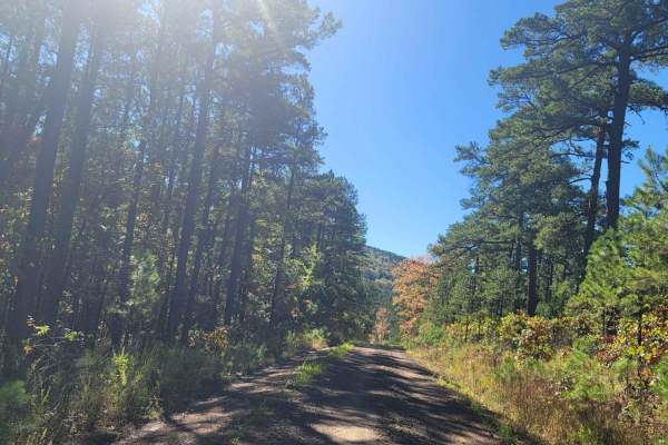
Walker Mountain is a scenic out-and-back offroad trail in western Arkansas's Ouachita National Forest, offering high-clearance four-wheel-drive vehicles and SxSs a rewarding climb to a mountain summit. Spanning approximately 5.9 miles, the route begins off Morgan Springs Road on a well-maintained gr...
Learn more about Walker Mountain
Deer Camp
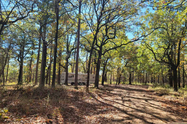
Walker Mountain Forest gravel road starts this trail and takes you to a deer camp on a dead-end road. This gravel road is narrow with steep drop-offs on the right-hand side and widens at halfway point. Great views and wildlife are present. Some sections can have mud when wet. Dispersed campsites can...
Learn more about Deer Camp

East Poteau Mountain
This site is part of the RUSTIC Poteau Mountain Auto Tour and let me say the road is rough and long, but the views are something to behold. There was an old fire tower site at the top. The concrete footings of the fire tower are still there but the road is rutted. Poteau Mountain is a unique and rus...
Learn more about East Poteau Mountain
Hawks Peak
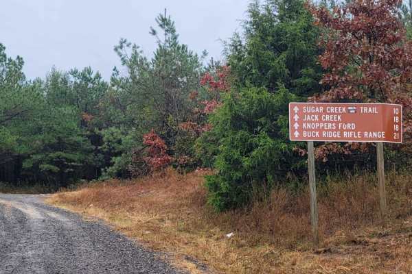
This trail starts off on the east side of Highway 71 a few miles north of Waldron Arkansas. Waldron Arkansas has gas stations and a grocery store for last-minute items or fill up. The trail is on the south side of Pilot Knob Mountain. This is a maintained gravel road that can be messy when wet. This...
Learn more about Hawks Peak
Jones Creek Road
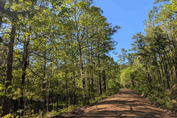
This trail offers a scenic but rugged drive through a rural area where it passes small holdings and stretches of private land with grazing livestock on green pastures. The road is wet, potholed, and uneven in many areas, and drivers should proceed cautiously, especially near homes and through active...
Learn more about Jones Creek Road
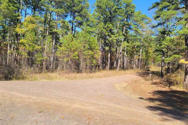
Haw Creek
This trail starts off Walker Mountain Road and ends at Champ Road. There are areas for dispersed camping in this area. Beautiful views and wildlife can be seen. Some sections of this gravel forest road can be rough and have mud when wet. This trail takes you further south into the Ouachita National ...
Learn more about Haw Creek
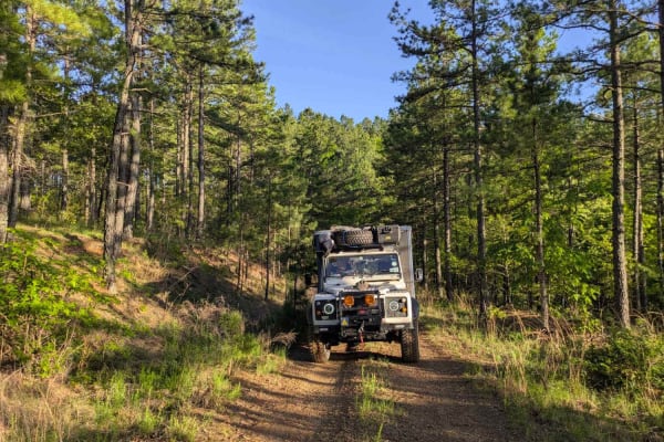
Unity Road
This trail offers a scenic but narrow and uneven drive along a ridgeline that skirts the mountainside. The surface is wet and potholed in places, making for a bumpy ride that may require slower speeds. It does not appear to be heavily traveled, likely due to the fact that it does not connect with Br...
Learn more about Unity Road
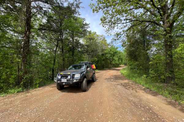
FR289
This is a nice 4 mile drive on a beautiful forest road. It's mostly a nice somewhat smooth gravel road till you get further down and it gets pretty rough so watch your speed. There's a low water crossing along the way and a beautiful emerald green river off to the right.
Learn more about FR289
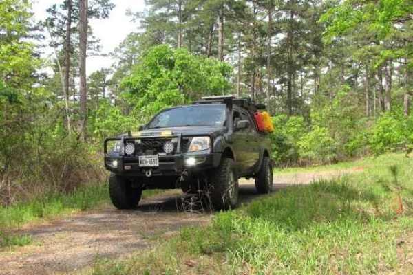
FR298
In & Out Maintained Forest Road In The Ouachita National Forest In Arkansas. Primarily gravel with a few muddy spots and overgrown vegetation on both sides of the road. It's a nice quiet spot at the end to spot and take a break surrounded by nature. So don't pass by this little route while exploring...
Learn more about FR298
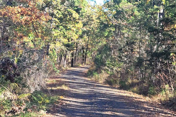
Champ Road to Nella Road
This trial leaves an awesome dispersed campsite and ends at Nella Road. Several dispersed campsites are along this trail. This gravel forest road can be messy when wet but is well-driven. Water crossing and rough spots are present on this forest road. Beautiful views and wildlife can be seen on this...
Learn more about Champ Road to Nella Road
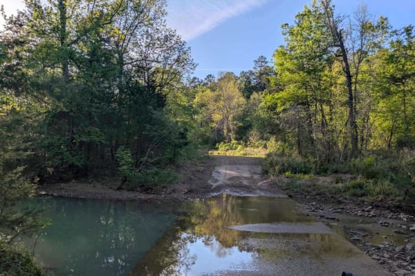
Denton Creek Road
This trail offers a scenic and winding route through a lush, green forest, particularly vibrant after seasonal rains. It crosses several streams and features numerous offshoots that may lead to potential dispersed camping areas. The road surface is generally smooth and well-maintained, but the trail...
Learn more about Denton Creek Road
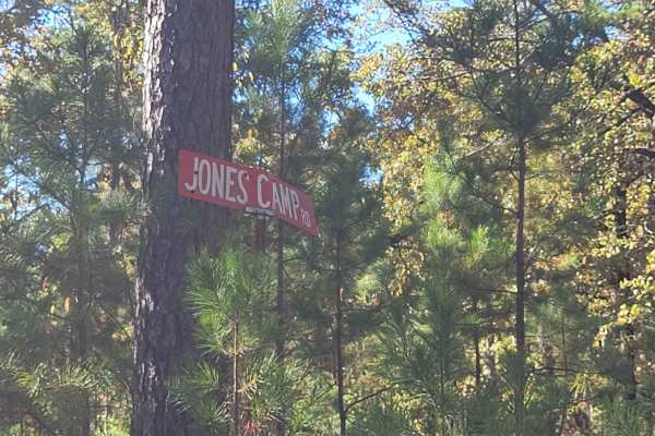
Jones Camp
This trail starts at Champ Road and ends on a narrow single-track dead end. There is an awesome dispersed campsite at the point you turn right on the single track. Champ Road is a gravel forest road that can be messy when wet. The single track has mud holes and undergrowth on it. Pinstripes can be p...
Learn more about Jones Camp
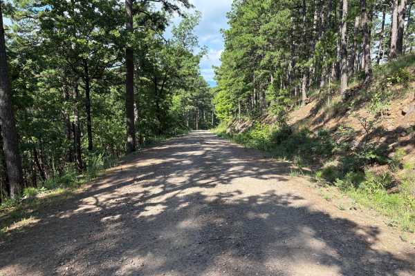
Blue Bird Lane
This road is a forest service road, which is a hard-packed rock base covered with gravel. The gravel can be very loose at times. During heavy rains, the road can become muddy. The West End of this road has several switchbacks rising to a higher elevation. There is lots of wildlife in this area to se...
Learn more about Blue Bird Lane
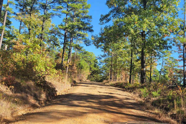
Dispersed on Boles
This gravel forest road passes several dispersed campsites. Some dispersed campsites are large with room for several vehicles. The gravel road is well-driven and can have rough spots along the way. If the road is wet it can be messy. Beautiful views of streams and nature are present. Wildlife could...
Learn more about Dispersed on Boles
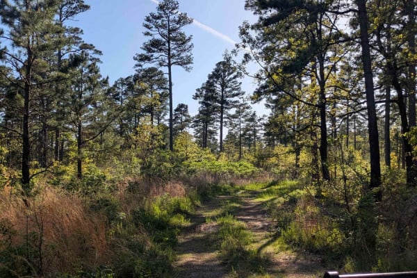
Henry Mountain Road
This trail is divided into two contrasting sections. The first half is a smooth and well-maintained gravel road with numerous side tracks that may lead to dispersed campsites, making for an easy and enjoyable drive. Around the midpoint, travelers will notice a tall tree set back from the trail with ...
Learn more about Henry Mountain Road
Beginner ATV trails near Midland, Arkansas
Explore ATV-friendly trails near you. These trails are accessible for vehicles up to 50 inches wide, perfect for ATVs and smaller off-road machines.
Jones Creek Road
This trail offers a scenic but rugged drive through a rural area where it passes small holdings and stretches of private land with grazing livestock on green pastures. The road is wet, potholed, and uneven in many areas, and drivers should proceed cautiously, especially near homes and through active...
Learn more about Jones Creek Road
Unity Road
This trail offers a scenic but narrow and uneven drive along a ridgeline that skirts the mountainside. The surface is wet and potholed in places, making for a bumpy ride that may require slower speeds. It does not appear to be heavily traveled, likely due to the fact that it does not connect with Br...
Learn more about Unity Road
FR289
This is a nice 4 mile drive on a beautiful forest road. It's mostly a nice somewhat smooth gravel road till you get further down and it gets pretty rough so watch your speed. There's a low water crossing along the way and a beautiful emerald green river off to the right.
Learn more about FR289
Champ Road to Nella Road
This trial leaves an awesome dispersed campsite and ends at Nella Road. Several dispersed campsites are along this trail. This gravel forest road can be messy when wet but is well-driven. Water crossing and rough spots are present on this forest road. Beautiful views and wildlife can be seen on this...
Learn more about Champ Road to Nella Road
Beginner UTV/side-by-side trails near Midland, Arkansas
Find UTV and side-by-side trails near you. These trails accommodate vehicles up to 60 inches wide, ideal for UTVs, side-by-sides, and wider off-road rigs.
Hawks Peak
This trail starts off on the east side of Highway 71 a few miles north of Waldron Arkansas. Waldron Arkansas has gas stations and a grocery store for last-minute items or fill up. The trail is on the south side of Pilot Knob Mountain. This is a maintained gravel road that can be messy when wet. This...
Learn more about Hawks Peak
Jones Creek Road
This trail offers a scenic but rugged drive through a rural area where it passes small holdings and stretches of private land with grazing livestock on green pastures. The road is wet, potholed, and uneven in many areas, and drivers should proceed cautiously, especially near homes and through active...
Learn more about Jones Creek Road
Haw Creek
This trail starts off Walker Mountain Road and ends at Champ Road. There are areas for dispersed camping in this area. Beautiful views and wildlife can be seen. Some sections of this gravel forest road can be rough and have mud when wet. This trail takes you further south into the Ouachita National ...
Learn more about Haw Creek
Unity Road
This trail offers a scenic but narrow and uneven drive along a ridgeline that skirts the mountainside. The surface is wet and potholed in places, making for a bumpy ride that may require slower speeds. It does not appear to be heavily traveled, likely due to the fact that it does not connect with Br...
Learn more about Unity Road
The onX Offroad Difference
onX Offroad combines trail photos, descriptions, difficulty ratings, width restrictions, seasonality, and more in a user-friendly interface. Available on all devices, with offline access and full compatibility with CarPlay and Android Auto. Discover what you're missing today!
Open Trail Map