Trail Overview
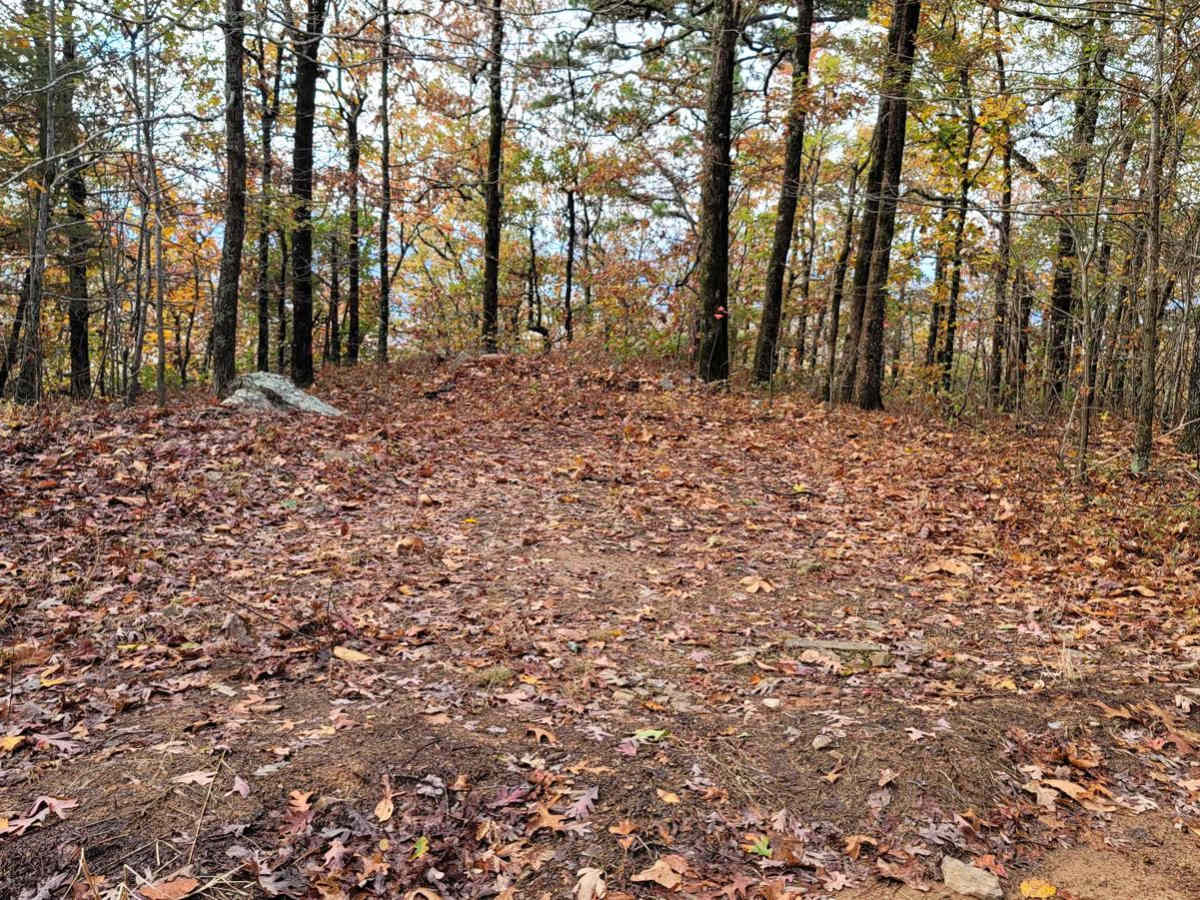
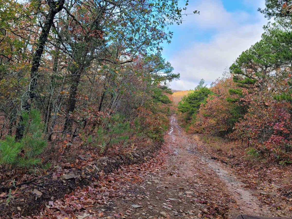
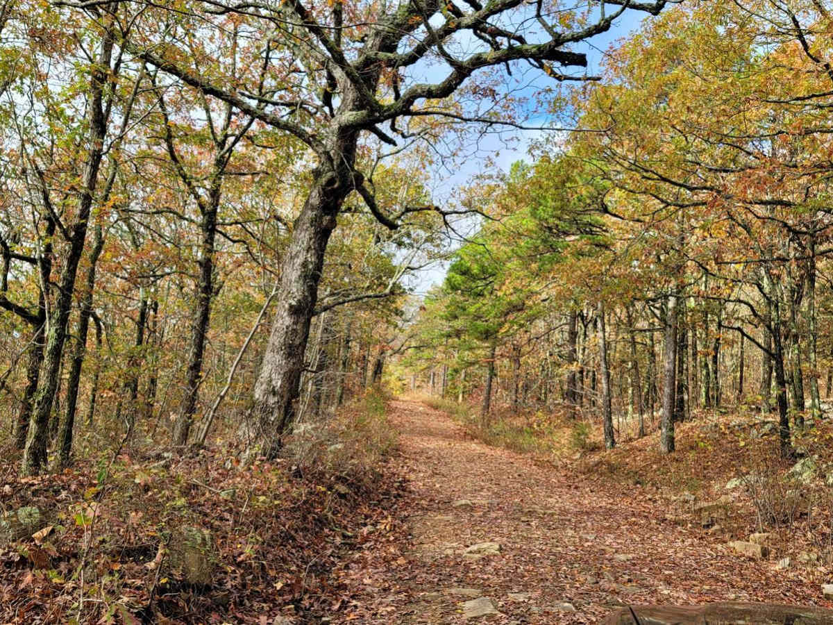
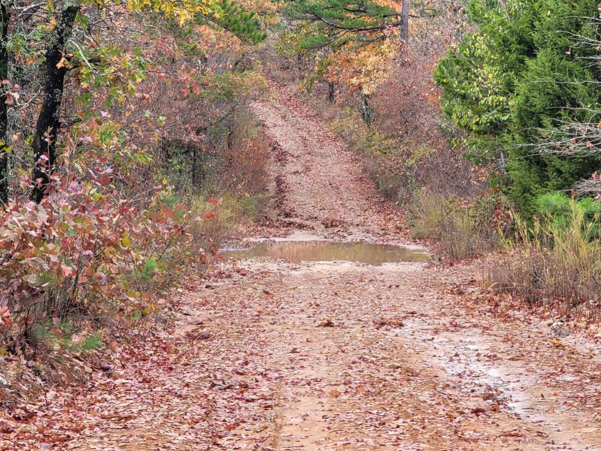
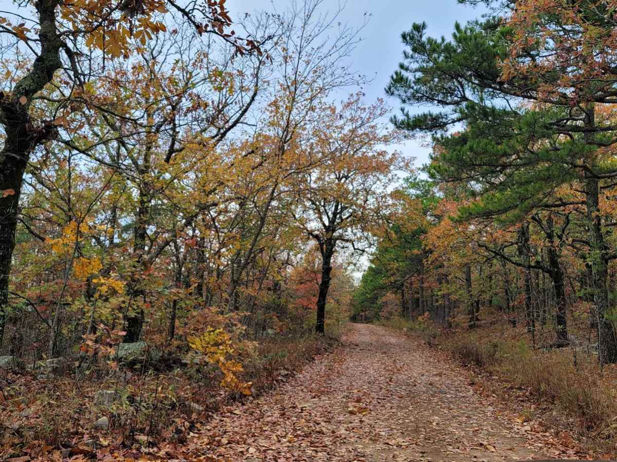
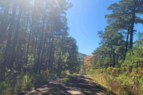
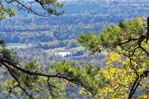
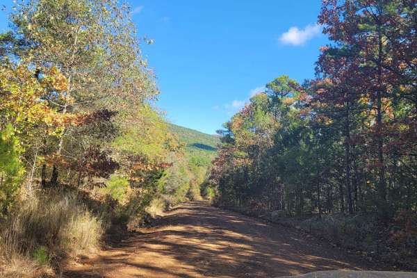
Perfect for high-clearance four-wheel-drive vehicles and SxSs looking for a scenic climb, Poteau Tower offers access to stunning ridgeline views, dispersed campsites, and wildlife-watching opportunities. Spanning approximately 6.2 miles, this route climbs from a low point of 1,806 feet up to a peak elevation of 2,540 feet along the scenic ridge. The trail begins at a well-utilized dispersed camping spot and winds its way up through dense forest, offering glimpses of small wildlife ponds and valleys below. Drivers will navigate a gravel and dirt surface that remains mostly manageable but features sections of rough, embedded rocks and deep ruts. High-clearance vehicles with solid all-terrain tires are highly recommended to confidently navigate these rough patches, especially when wet weather turns the dirt to slick mud.
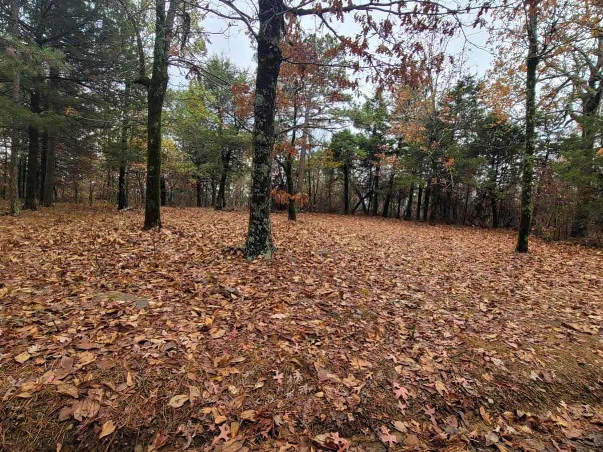
As the trail nears its end, it reaches a prominent fork in the road where going straight leads to a mountaintop featuring communication towers, though access here is subject to a gate that may be open or closed. Turning left at the fork provides an alternate route to descend the mountain, making it easy to plan a loop or access additional forest roads. Multiple dispersed campsites are scattered along the route, making it an excellent weekend destination for overlanders looking to set up camp in a secluded forest setting. Given its technical rating of 3, stock four-wheel-drive vehicles with careful line choice can complete the journey, but drivers should exercise caution and check local weather conditions beforehand as rain can significantly increase the difficulty of the muddy sections.