
Beginner Off-Road Trails
Near Menan, Idaho
Explore All Beginner Trails Near Menan, Idaho
Beginner Off-Road Trails Near Menan, Idaho
Discover the best beginner-friendly off-road trails near you. These easier, lower-rated trails are a great place to start — browse trail maps, check difficulty ratings, and find your next adventure.
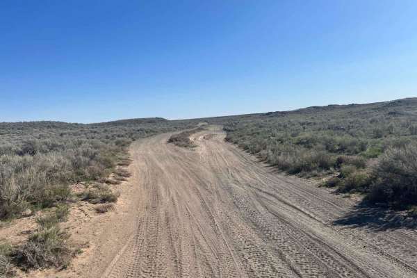
Market Canal Road
Market Canal Road is a simple trail that takes you through the sagebrush just west of the Menan Butte. The trail is wide and mostly flat with sections of lava rock and sand but offers several obstacles along the way for more of a challenge. This is a great location to enjoy in the evening as the sun...
Learn more about Market Canal Road
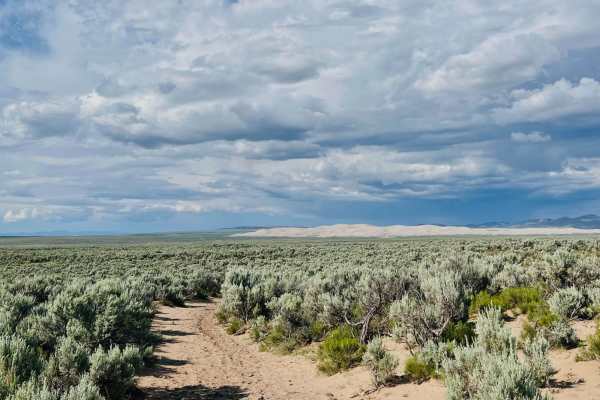
A Mile and a Half Road
First of all, it's closer to three miles, but maybe they first ran it on foot, and it seemed shorter. This is a fun trail that is mostly traveled by cattle. It is a sandy route back up to the main road. The sand gets quite deep at times. There is also the occasional boulder field to watch for. The t...
Learn more about A Mile and a Half Road
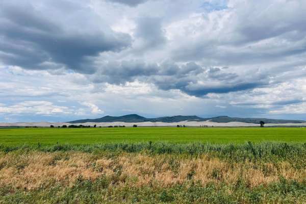
East 2200 North
Smooth, flat, and loose gravel is what this route is all about. It's super wide with no washboard. There is access to the St. Antony Sand Dunes Open Area off this trail. These access trails head off to the north side of the dunes. Just be sure to follow all posted signs if you head out to the dunes ...
Learn more about East 2200 North
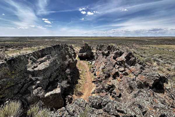
Noise Park - Outer 6 Miles loop
Noise ORV is single track trail loop and features whoops, volcanic rock, sand, and hard dirt. It can get quite dusty, so the best times to ride are early in the morning or after it has rained. Idaho ORV decals are required to ride. The trails are beginner and kid friendly. It's always windy. There i...
Learn more about Noise Park - Outer 6 Miles loop

Poison Flats Trail Exploring
This 10.3-mile trail in the Big Hole Mountains near Ririe, Idaho is for offroaders seeking a moderate, highly varied ride of historic exploration and beautiful forest scenery. The route begins at the Poison Flats Trailhead, climbing steadily up to Poison Flats before following the trail towards Long...
Learn more about Poison Flats Trail Exploring
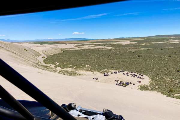
Beer Run
The trail starts near Saint Anthony Sand Dunes in open desert cattle land. The route, then takes you through forests by the Island Park Reservoir, and ends by following between the road and Henrys Fork. The trail is easy with only two minor ledges that could be avoided by taking the road. Half of t...
Learn more about Beer Run
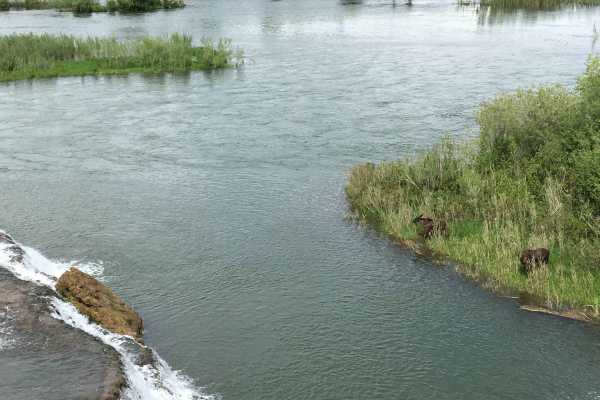
Idaho Falls to Fall Creek Falls
This trail is an easy trail and a more scenic and fun route to Fall Creek Falls. Fall Creek Falls is a beautiful waterfall where Fall Creek meets the South Fork of the Snake River. It travels from Bone Road through the Tex Creek Wildlife Management Area all the way to Fall Creek Falls. Spring is the...
Learn more about Idaho Falls to Fall Creek Falls
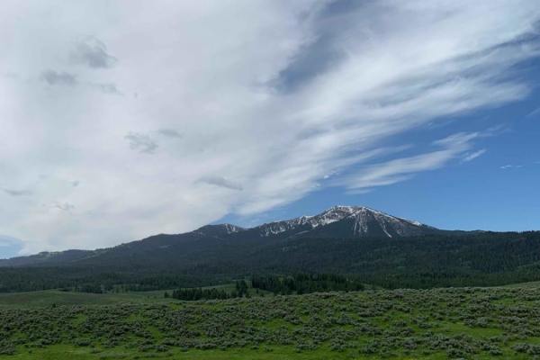
Dans Creek to Caribou Basin
This route takes you next to the Caribou Range just outside of Idaho Falls. The ride starts with beautiful, sweeping views of Gray's Lake outlet, which is lush and green well into August and is a habitat for bald and golden eagles and other wildlife. After winding along the West side of the Caribou ...
Learn more about Dans Creek to Caribou Basin
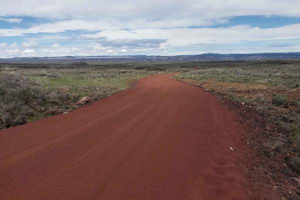
Civil Defense Cave
The Civil Defense Cave trail is a well-maintained, grated road for the first 4 miles until the turn off of Crooked Road onto Civil Defense Cave Road. The last mile is not grated but still well traveled. I would recommend a higher clearance vehicle as there is potential for lower vehicles to bottom o...
Learn more about Civil Defense Cave
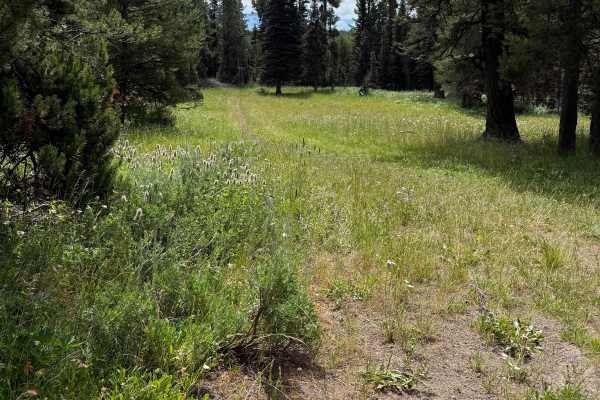
Graham Springs - FS 222
This is one of the most enjoyable sections of the trail. Traveling from north to south, the route begins in an open meadow where the track is faint but easy to follow before entering a stunning pine forest. From there, the trail winds gracefully through the trees, offering a peaceful and scenic ride...
Learn more about Graham Springs - FS 222
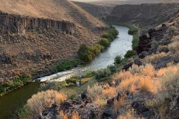
Idaho Falls to Wolverine Canyon
This route takes you from Idaho Falls up Bone Road, past the Bone Store, and up the Wolverine Canyon. It is a fun ride to take all year round for a Sunday drive or a quick ride up in the mountains. You drive past the old settlement of Ozone which was a fairly large city until a drought in 1920 made ...
Learn more about Idaho Falls to Wolverine Canyon
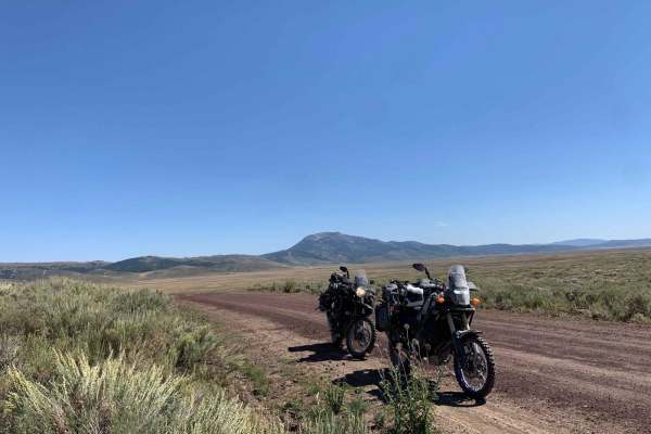
Bone to Caribou Loop
This route takes you from Bone Road to the Caribou Loop. It is in a gorgeous valley with mountains to the West that stay green year-round and are very pretty as the leaves turn in the fall. It may be tempting to take Blackfoot Reservoir Road to access Grey's Lake and the reservoir as it is more of a...
Learn more about Bone to Caribou Loop
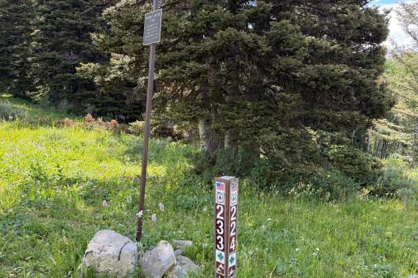
Calamity Creek - FS 224
This is a fun, flowing trail with moderate difficulty. There are no major obstacles on this trail. Just enjoy the ride through beautiful pine forests, check out the wildflowers, and keep an eye out for wildlife. This would be a great trail for someone new to single track; there are a few roots and w...
Learn more about Calamity Creek - FS 224
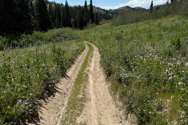
Thousand Springs
Thousand Springs climbs up to Piney Pass and is a nice ride that has (as the name suggests) several springs and a nice mountain lake. This is a beginner-friendly trail for both Dirt bikes and ATVs, with most of the trail being dirt with a few minor obstacles. This is a popular trail as it is used to...
Learn more about Thousand Springs
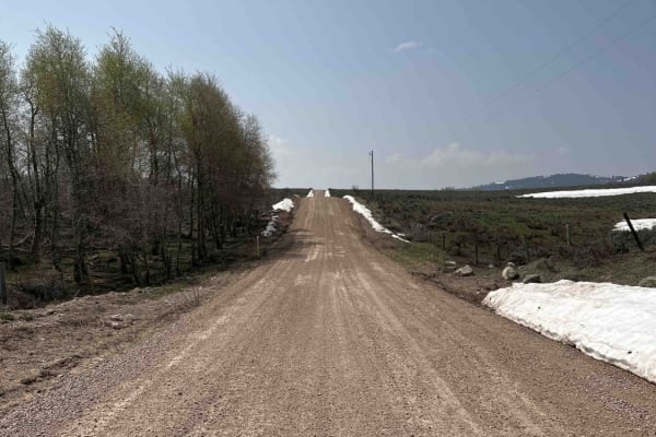
Bone to Wolverine Brush Creek Run
This route is easily passable by any overland rig and most family SUVs. It takes you through a mix of private cattle ranches and public land. You will pass through rolling sagebrush hills and several campsites, including a BLM campground. The latter half of the trail borders the Blackfoot River Cany...
Learn more about Bone to Wolverine Brush Creek Run
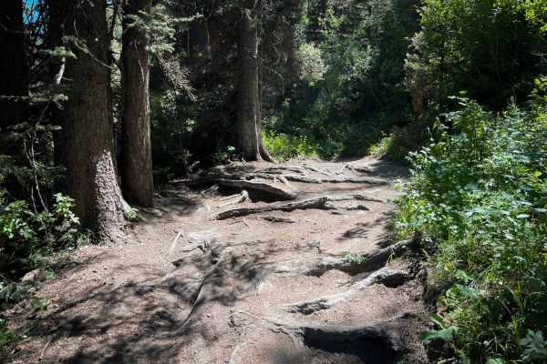
South Horseshoe
South Horseshoe is a nearly 6-mile-long dirt bike trail that offers a scenic and flowing ride, well-suited for newer riders. The route features curvy, mountain bike-style singletrack with smooth dirt, benched corners, wide lines, and minimal rock obstacles. While there are occasional roots and small...
Learn more about South Horseshoe
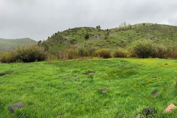
Rash Canyon
This route is a fun beginner route that makes a loop up Rash Canyon. You can start at either the South Fork Fall Creek Motorized Vehicle trailhead at 43.39266, -111.45023, or you can start at the base of Rash Canyon at 43.38483, -111.47369. Starting at the South Fork Motorized trailhead, you will ri...
Learn more about Rash Canyon
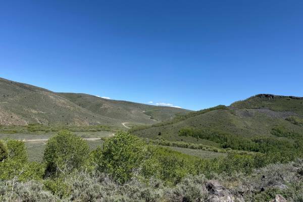
Horse Creek
Horse Creek is an easy and scenic gravel road that connects Dan Creek Road with Greys Lake/Long Valley Road, providing a convenient route between several recreation areas. The trail offers excellent views of Pine Mountain and travels through a mix of forested terrain and open mountain landscapes, ma...
Learn more about Horse Creek
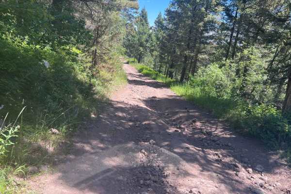
July Creek Road (20303)
This is a main byway Forest Service Road that will connect Highway 20 (through additional roads) and the St. Anthony area if other roads are followed. People can go to the St. Anthony Sand Dunes via roads along this path. You will need a higher clearance vehicle to get over some of the washed areas ...
Learn more about July Creek Road (20303)
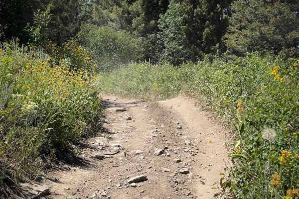
Nickerson Grove
Nickerson Grove is an easy ATV trail that starts at the Long Ridge Motorized Trailhead, which is accessed through private land--riders should stay on the road and respect property boundaries. The two-track trail begins at the end of the road, at a small area that can be used for parking a couple of ...
Learn more about Nickerson Grove
Beginner ATV trails near Menan, Idaho
Explore ATV-friendly trails near you. These trails are accessible for vehicles up to 50 inches wide, perfect for ATVs and smaller off-road machines.
Market Canal Road
Market Canal Road is a simple trail that takes you through the sagebrush just west of the Menan Butte. The trail is wide and mostly flat with sections of lava rock and sand but offers several obstacles along the way for more of a challenge. This is a great location to enjoy in the evening as the sun...
Learn more about Market Canal Road
A Mile and a Half Road
First of all, it's closer to three miles, but maybe they first ran it on foot, and it seemed shorter. This is a fun trail that is mostly traveled by cattle. It is a sandy route back up to the main road. The sand gets quite deep at times. There is also the occasional boulder field to watch for. The t...
Learn more about A Mile and a Half Road
East 2200 North
Smooth, flat, and loose gravel is what this route is all about. It's super wide with no washboard. There is access to the St. Antony Sand Dunes Open Area off this trail. These access trails head off to the north side of the dunes. Just be sure to follow all posted signs if you head out to the dunes ...
Learn more about East 2200 North
Poison Flats Trail Exploring
This 10.3-mile trail in the Big Hole Mountains near Ririe, Idaho is for offroaders seeking a moderate, highly varied ride of historic exploration and beautiful forest scenery. The route begins at the Poison Flats Trailhead, climbing steadily up to Poison Flats before following the trail towards Long...
Learn more about Poison Flats Trail Exploring
Beginner UTV/side-by-side trails near Menan, Idaho
Find UTV and side-by-side trails near you. These trails accommodate vehicles up to 60 inches wide, ideal for UTVs, side-by-sides, and wider off-road rigs.
Market Canal Road
Market Canal Road is a simple trail that takes you through the sagebrush just west of the Menan Butte. The trail is wide and mostly flat with sections of lava rock and sand but offers several obstacles along the way for more of a challenge. This is a great location to enjoy in the evening as the sun...
Learn more about Market Canal Road
A Mile and a Half Road
First of all, it's closer to three miles, but maybe they first ran it on foot, and it seemed shorter. This is a fun trail that is mostly traveled by cattle. It is a sandy route back up to the main road. The sand gets quite deep at times. There is also the occasional boulder field to watch for. The t...
Learn more about A Mile and a Half Road
East 2200 North
Smooth, flat, and loose gravel is what this route is all about. It's super wide with no washboard. There is access to the St. Antony Sand Dunes Open Area off this trail. These access trails head off to the north side of the dunes. Just be sure to follow all posted signs if you head out to the dunes ...
Learn more about East 2200 North
Beer Run
The trail starts near Saint Anthony Sand Dunes in open desert cattle land. The route, then takes you through forests by the Island Park Reservoir, and ends by following between the road and Henrys Fork. The trail is easy with only two minor ledges that could be avoided by taking the road. Half of t...
Learn more about Beer Run
The onX Offroad Difference
onX Offroad combines trail photos, descriptions, difficulty ratings, width restrictions, seasonality, and more in a user-friendly interface. Available on all devices, with offline access and full compatibility with CarPlay and Android Auto. Discover what you're missing today!
Open Trail Map