
Beginner Off-Road Trails
Near Marble Rock, Iowa
Explore All Beginner Trails Near Marble Rock, Iowa
Beginner Off-Road Trails Near Marble Rock, Iowa
Discover the best beginner-friendly off-road trails near you. These easier, lower-rated trails are a great place to start — browse trail maps, check difficulty ratings, and find your next adventure.
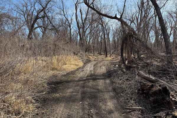
A2
Nicholson Ford is all river bottom ground. Besides a couple of drainage ditches and previous flood levees, the terrain is very flat and open. This particular trail is fairly short, flat, and with some curves. The trail surface has some sandy content due to its proximity to the river. 4x4 machine tra...
Learn more about A2
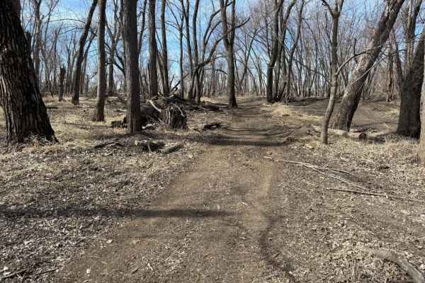
Dike Trail
The majority of this trail is on an old flood levee from before this was a legal riding area. This trail can connect you to the MX track, High Line trail, Main road, and Perimeter trail at both ends. The main surface is dirt with multiple bypass options depending on rider preference.
Learn more about Dike Trail
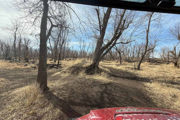
A1
Nicholson Ford is all river bottom ground. Besides a couple of drainage ditches and previous flood levees, the terrain is very flat and open. This particular trail is fairly short, flat, and with some curves. The trail surface has some sandy content due to its proximity to the river. 4x4 machine tra...
Learn more about A1
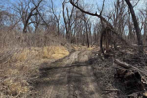
A3
Nicholson Ford is all river bottom ground. Besides a couple of drainage ditches and previous flood levees, the terrain is very flat and open. This particular trail is fairly short, flat, and with some curves. The trail surface has some sandy content due to its proximity to the river. 4x4 machine tra...
Learn more about A3
Woods Track A
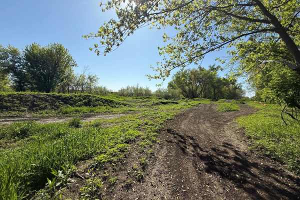
This is the main motocross/ Jump track at Nicholson Ford. The intended direction for this track is counter-clockwise. Most of this track is in the open grass area, but it does go into the woods for some natural jumps. The surface is generally hard-packed dirt, but the club will resurface this track ...
Learn more about Woods Track A
C2
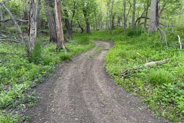
This area of the park is one of my favorites in the park. There is a system of old levees throughout here that make for some fun ups and downs that do a great job of making this river bottom park more fun. Between the trails, there are some old remnants of the old landfill that used to be in this ar...
Learn more about C2
B1
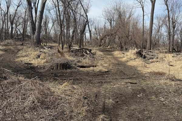
This trail is a mostly flat dirt trail. It is Part of the Nicholson-Ford trail system. It is a great way to make a loop around the park if you want to avoid the straight line paths and enjoy one of the more curvy trails in the park. This trail connects from the Main road, Highline trail, Dike Trail,...
Learn more about B1
C1
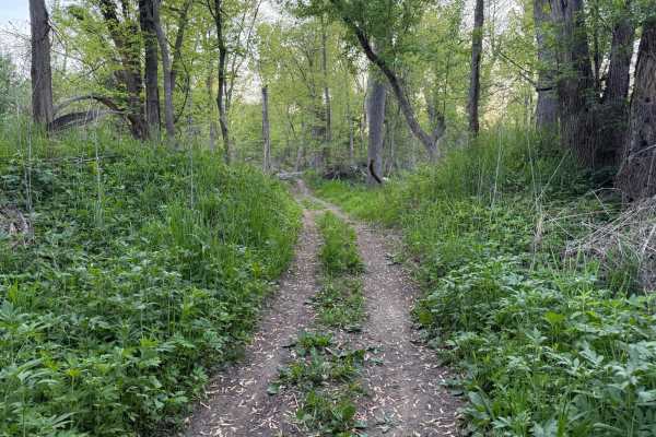
This area of the park is one of my favorites in the park. There is a system of old levees throughout here that make for some fun ups and downs that do a great job of making this river bottom park more fun. Between the trails there are some old remnants of the old landfill that used to be in this are...
Learn more about C1
B2
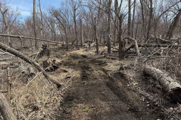
This trail is mostly a flat dirt trail. It is Part of the Nicholson-Ford trail system. It is a great way to make a loop around the park if you want to avoid the straight line paths and enjoy one of the more curvy trails in the park. This trail connects from the Main road, Highline trail, Dike Trail,...
Learn more about B2
High Line Divider Trail
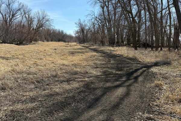
Nicholson Ford is all river bottom ground. Besides a couple of drainage ditches and previous flood levees, the terrain is very flat and open. This particular trail is very open and straight. The Trail Surface is mostly dirt. This trail has many intersections, allowing the connection of almost every ...
Learn more about High Line Divider Trail
D1
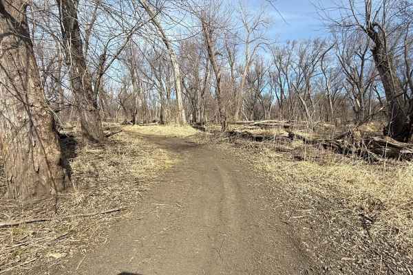
This trail is mostly a flat dirt trail. It is Part of the Nicholson-Ford trail system. It is a great way to make a loop around the park if you want to avoid the straight line paths and enjoy one of the more curvy trails in the park. This trail connects from the Main road, Highline trail, Dike Trail,...
Learn more about D1
Perimeter Trail
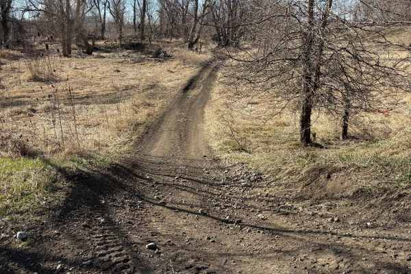
This is the outer most trail at Nicholson Ford OHV park. It is bordered by our perimeter fence, the Iowa River, and Linn Creek. It will have the best views from the park. It is a fairly flat trail but you will encounter drainage ditches that are passable by all accepted machines. (up to 65" SXS) Mos...
Learn more about Perimeter Trail
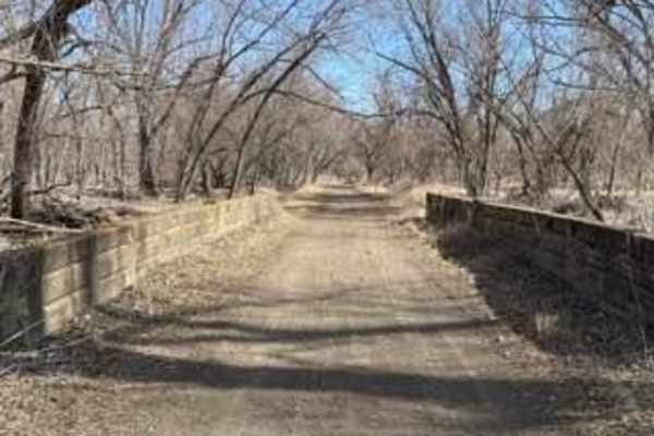
Main Road
This is the main entrance road from the parking lot all the way to the river. This trail divides the park in half. It used to be the main road into Marshalltown a long time ago. It a flat and level gravel road stretching all the way from the parking lot, comes to a T with our perimeter trail, and we...
Learn more about Main Road
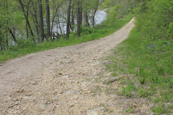
Big Springs Old Log Road
This Turkey River backcountry trail is one of those hidden Iowa routes that most people would never notice unless someone local pointed them toward it. Used mainly by farmers, hunters during the fall season, and those looking for a quiet way to access the river, this Class 8 road offers a laid-back ...
Learn more about Big Springs Old Log Road
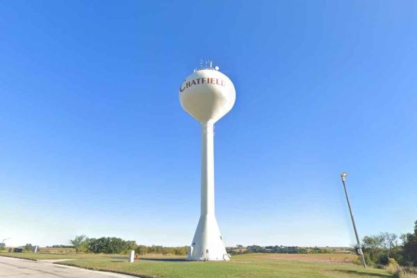
Chatfield SW ATV Loop
Trail is a point-to-point 1-mile bidirectional trail located in the southwest section of the Chatfield ATV trail complex. The trail can be accessed from either Minnesota Hwy 30/74 or from Hillside Drive SW. Both Class 1 (50” or less) and Class 2 (50-65”) ATVs are allowed on the Chatfield ATV trails....
Learn more about Chatfield SW ATV Loop
Chatfield Southeast ATV Loop
Chatfield Southeast is a 5-mile bidirectional trail located in the southwest section of the Chatfield ATV trail complex. The trail can be accessed from the parking lot just off Minnesota Hwy 30/74. There are several other access points along the trail, but they do not have any available parking. Bot...
Learn more about Chatfield Southeast ATV Loop
Beginner ATV trails near Marble Rock, Iowa
Explore ATV-friendly trails near you. These trails are accessible for vehicles up to 50 inches wide, perfect for ATVs and smaller off-road machines.
Dike Trail
The majority of this trail is on an old flood levee from before this was a legal riding area. This trail can connect you to the MX track, High Line trail, Main road, and Perimeter trail at both ends. The main surface is dirt with multiple bypass options depending on rider preference.
Learn more about Dike Trail
A1
Nicholson Ford is all river bottom ground. Besides a couple of drainage ditches and previous flood levees, the terrain is very flat and open. This particular trail is fairly short, flat, and with some curves. The trail surface has some sandy content due to its proximity to the river. 4x4 machine tra...
Learn more about A1
A3
Nicholson Ford is all river bottom ground. Besides a couple of drainage ditches and previous flood levees, the terrain is very flat and open. This particular trail is fairly short, flat, and with some curves. The trail surface has some sandy content due to its proximity to the river. 4x4 machine tra...
Learn more about A3
Woods Track A
This is the main motocross/ Jump track at Nicholson Ford. The intended direction for this track is counter-clockwise. Most of this track is in the open grass area, but it does go into the woods for some natural jumps. The surface is generally hard-packed dirt, but the club will resurface this track ...
Learn more about Woods Track A
Beginner UTV/side-by-side trails near Marble Rock, Iowa
Find UTV and side-by-side trails near you. These trails accommodate vehicles up to 60 inches wide, ideal for UTVs, side-by-sides, and wider off-road rigs.
A2
Nicholson Ford is all river bottom ground. Besides a couple of drainage ditches and previous flood levees, the terrain is very flat and open. This particular trail is fairly short, flat, and with some curves. The trail surface has some sandy content due to its proximity to the river. 4x4 machine tra...
Learn more about A2
Dike Trail
The majority of this trail is on an old flood levee from before this was a legal riding area. This trail can connect you to the MX track, High Line trail, Main road, and Perimeter trail at both ends. The main surface is dirt with multiple bypass options depending on rider preference.
Learn more about Dike Trail
A1
Nicholson Ford is all river bottom ground. Besides a couple of drainage ditches and previous flood levees, the terrain is very flat and open. This particular trail is fairly short, flat, and with some curves. The trail surface has some sandy content due to its proximity to the river. 4x4 machine tra...
Learn more about A1
A3
Nicholson Ford is all river bottom ground. Besides a couple of drainage ditches and previous flood levees, the terrain is very flat and open. This particular trail is fairly short, flat, and with some curves. The trail surface has some sandy content due to its proximity to the river. 4x4 machine tra...
Learn more about A3
The onX Offroad Difference
onX Offroad combines trail photos, descriptions, difficulty ratings, width restrictions, seasonality, and more in a user-friendly interface. Available on all devices, with offline access and full compatibility with CarPlay and Android Auto. Discover what you're missing today!
Open Trail Map