
Beginner Off-Road Trails
Near Manistee Lake, Michigan
Explore All Beginner Trails Near Manistee Lake, Michigan
Beginner Off-Road Trails Near Manistee Lake, Michigan
Discover the best beginner-friendly off-road trails near you. These easier, lower-rated trails are a great place to start — browse trail maps, check difficulty ratings, and find your next adventure.
Sunset Trail
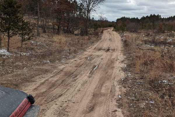
This trail is typical of Michigan dirt and sandy roads and is suitable for most vehicles. The trail runs along the Manistee River and crosses the CCC Bridge. The last mile on the south end of the trail narrows and the terrain becomes a little bit rougher, but still is passable by any high-clearance ...
Learn more about Sunset Trail
Papoose Lake Road
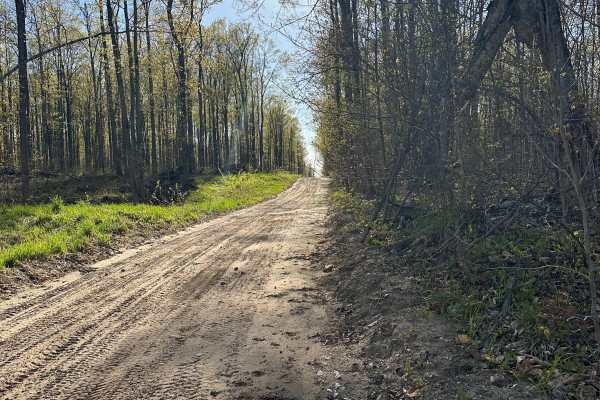
Papoose Lake Road is an easy forest route well suited for stock 4WD vehicles, SUVs, and conventional high-clearance vehicles looking to explore Northern Michigan's extensive public lands. Beginning as a wider dirt and sand road before narrowing into a more secluded single-lane corridor, the route tr...
Learn more about Papoose Lake Road
Kenel Road Northeast
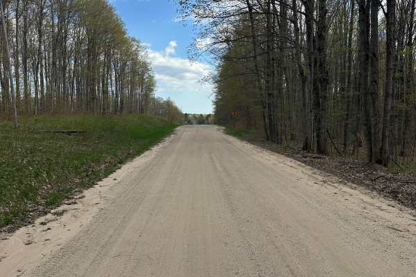
Kenel Road Northeast is a double-lane seasonal dirt road that starts narrow with some soft sand in spots. The trail is part of the Traverse City Forest Management Unit and gives you the opportunity to see wildlife and explore the trail system in Northern Michigan. Sections are wide enough for anothe...
Learn more about Kenel Road Northeast
Kenel Loop
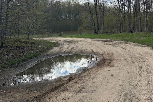
Kenel Loop is a single-lane dirt/gravel/sand two-track that is narrow and windy with some sand and mud holes in spots. The trail is part of the Traverse City Forest Management Unit and gives you the opportunity to see wildlife and explore the trail system in Northern Michigan. Sections are wide enou...
Learn more about Kenel Loop
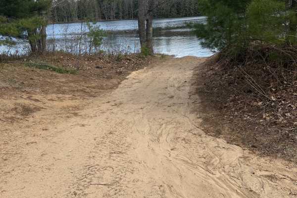
Deadman Cutover
Deadman Cutover is an easy scenic route well suited for high-clearance stock 4WD vehicles and anyone looking to explore Northern Michigan's extensive forest trail network. This single-lane dirt, gravel, and sand two-track winds through the Traverse City Forest Management Unit, featuring a narrow, tw...
Learn more about Deadman Cutover
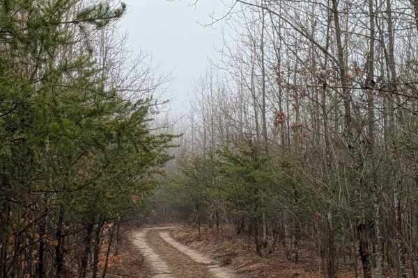
Johnson Lake Rd SE
Johnson Lake Road Southeast begins at the north side of Grayling at Highway 72 and ends at the Manistee River. Johnson Lake is a nice, sandy, flat track. There is potential for large deep puddles if it's been wet. There are a few dispersed camping spots at the end along the river. The Manistee Rive...
Learn more about Johnson Lake Rd SE
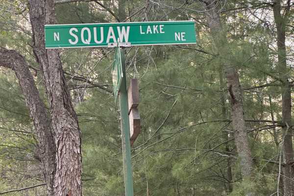
North Squaw Lake NE
North Squaw Lake NE is a wide, single-lane dirt-and-sand road through the Traverse City Forest Management Unit. Pines and hardwoods line the route, providing opportunities to observe wildlife along the way. Soft sand and water holes may be present in places. The trail can be traveled in either direc...
Learn more about North Squaw Lake NE
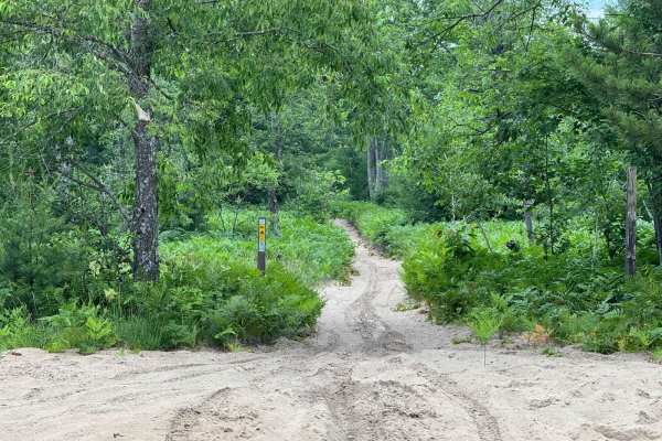
Leetsville ORV Trail
Leetsville ORV Trail is a beginner-friendly ride. As a 50-inch trail, it stays consistently wide throughout, making it accessible and easy to navigate. There aren't many elevation changes, and the terrain remains fairly consistent along the entire route. You'll encounter a mix of deep sand and more ...
Learn more about Leetsville ORV Trail
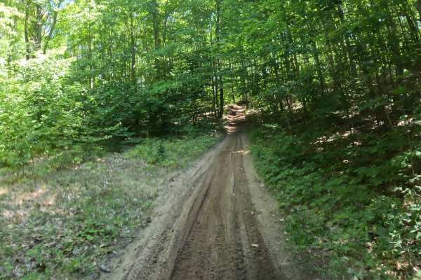
Kalkaska Trial Interconnector
The Kalkaska Interconnector connects the Kalkaska North Trail. This trail is designed for 50-inch ATVs, dirt bikes, and quads. The surface is primarily hard-packed sand, with some roots, a few whoops, and features plenty of sweeping corners along with a few small, easy uphill sections under a canopy...
Learn more about Kalkaska Trial Interconnector
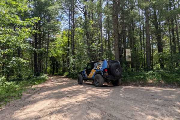
Black Lake Road
Black Lake Road runs between Lake Valley and Blue Lake roads. It is a sandy two-track that winds gently through the mature forest. Some of the vegetation is a little overgrown; full-size vehicles may experience pinstriping. There are no elevation changes and no standing water anywhere on the trail.
Learn more about Black Lake Road
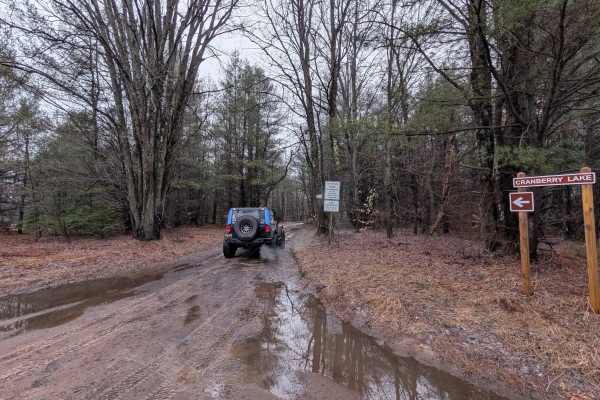
Cranberry Lake Rd
Cranberry Lake Road runs between Sunset Trail and LP76/P651. The west side entrance is essentially a dirt road. But once you get back into the area of Cranberry Lake, the trail gets windy. There is a big enough area for parking and a walk-in boat launch on Cranberry Lake. BEWARE: Cranberry Lake sits...
Learn more about Cranberry Lake Rd
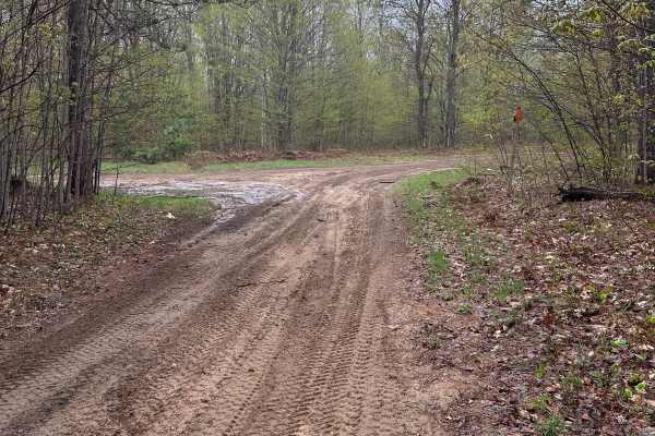
Bebb Road
Bebb Road is a single-lane dirt-and-sand route within the Gaylord Forest Management Unit. Winding through pine and hardwood forests, it offers opportunities to observe wildlife and enjoy a scenic slice of Michigan. The trail can be traveled in either direction and features occasional sandy stretches...
Learn more about Bebb Road
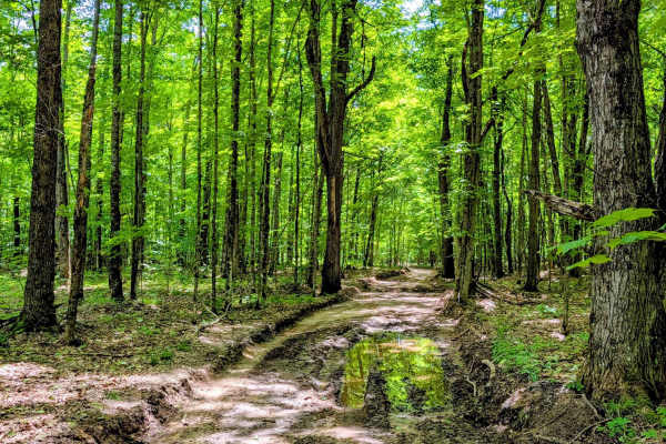
North Forest Trail
This fun Trail winds back and forth through the woods, and the terrain changes quite a bit for a Michigan trail. Some areas are sand- or gravel-based, and others are dirt-based. The trail can be quite muddy when it's wet. There are spots in the trail where vegetation is a little overgrown, so expec...
Learn more about North Forest Trail
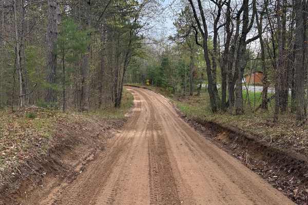
Kalkaska - 14663 & 17336
14663/17336 is a single-lane dirt-and-sand road in the Traverse City Forest Management Unit. This pleasant forest drive passes through pines and hardwoods, with opportunities to spot wildlife along the way. The route includes a few sandy sections, can be traveled in either direction, and ends at Sta...
Learn more about Kalkaska - 14663 & 17336
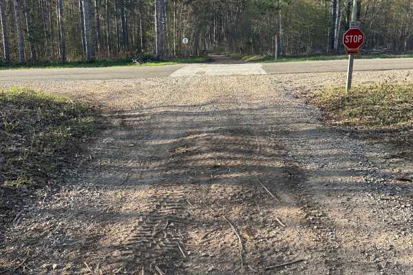
Kalkaska Trail SL
Kalkaska Trail SL is a single-lane dirt-and-sand two-track in the Traverse City Forest Management Unit. Winding through pine and hardwood forests, the route provides opportunities to spot wildlife. Very soft sand and washboard surfaces occur along some sections. The trail can be traveled in either d...
Learn more about Kalkaska Trail SL
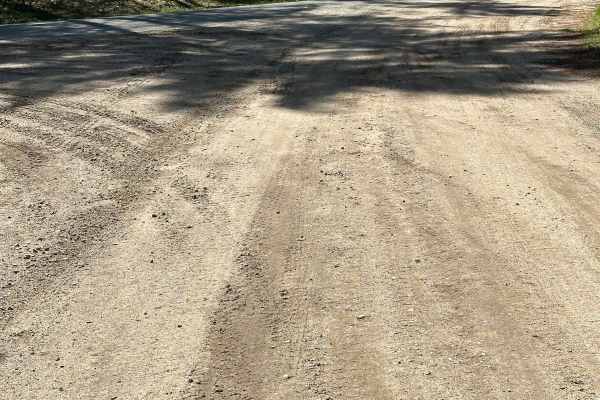
Summit Road
Summit Road begins as a two-lane seasonal road before narrowing into a single-lane gravel-and-dirt two-track within the Traverse City Forest Management Unit. Pines and hardwoods surround the route, offering opportunities to observe wildlife along the way. Expect loose sand and occasional water holes...
Learn more about Summit Road
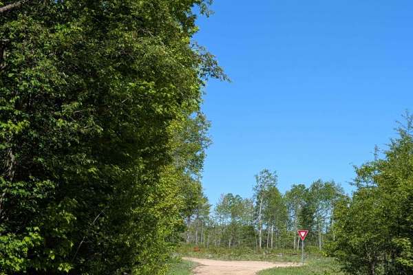
Kniss Road Southeast
This road has recently been made a dead end & can only be entered from the east off of Sunset Trail. At the end of this trail, you will find a large open area that can be used for hiking, hunting, or dispersed walk-in camping. Along the way, you'll find a large open field to the north that has bee...
Learn more about Kniss Road Southeast
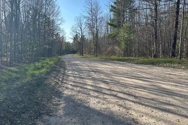
North Crooked Lake Road
North Crooked Lake Road is an easy seasonal forest road ideal for stock 4WD vehicles and SUVs. This double-lane dirt, gravel, and sand route travels through the Gaylord/Traverse City Forest Management Unit, offering a smooth ride with occasional sandy stretches that can become slightly looser during...
Learn more about North Crooked Lake Road
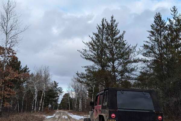
Blue Lake Road
Blue Lake Road is wide sandy road. There is potential for some mud holes in wet weather. The trail has some of that good old washboarding in a couple of areas. It starts at the north end on cement at City Road 612 and ends again on cement at 72.
Learn more about Blue Lake Road
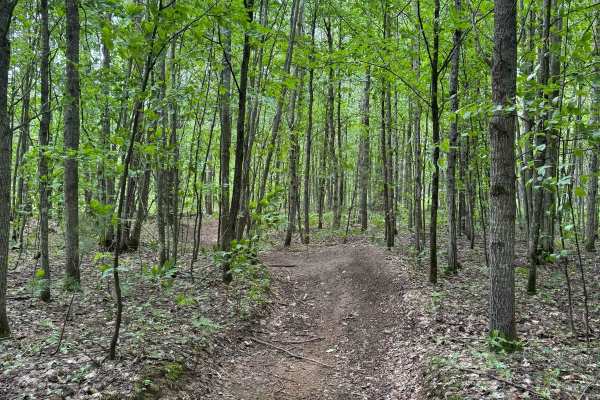
Kalkaska ORV Trail - South
Kalkaska ORV South is a must-ride trail in the state of Michigan. While the terrain stays fairly consistent throughout, it still offers a fun and engaging experience for all types of riders. You'll encounter a mix of deep sand, harder-packed soil, and some technical sections with exposed roots and t...
Learn more about Kalkaska ORV Trail - South
Beginner ATV trails near Manistee Lake, Michigan
Explore ATV-friendly trails near you. These trails are accessible for vehicles up to 50 inches wide, perfect for ATVs and smaller off-road machines.
Sunset Trail
This trail is typical of Michigan dirt and sandy roads and is suitable for most vehicles. The trail runs along the Manistee River and crosses the CCC Bridge. The last mile on the south end of the trail narrows and the terrain becomes a little bit rougher, but still is passable by any high-clearance ...
Learn more about Sunset Trail
Leetsville ORV Trail
Leetsville ORV Trail is a beginner-friendly ride. As a 50-inch trail, it stays consistently wide throughout, making it accessible and easy to navigate. There aren't many elevation changes, and the terrain remains fairly consistent along the entire route. You'll encounter a mix of deep sand and more ...
Learn more about Leetsville ORV Trail
Kalkaska Trial Interconnector
The Kalkaska Interconnector connects the Kalkaska North Trail. This trail is designed for 50-inch ATVs, dirt bikes, and quads. The surface is primarily hard-packed sand, with some roots, a few whoops, and features plenty of sweeping corners along with a few small, easy uphill sections under a canopy...
Learn more about Kalkaska Trial Interconnector
Black Lake Road
Black Lake Road runs between Lake Valley and Blue Lake roads. It is a sandy two-track that winds gently through the mature forest. Some of the vegetation is a little overgrown; full-size vehicles may experience pinstriping. There are no elevation changes and no standing water anywhere on the trail.
Learn more about Black Lake Road
Beginner UTV/side-by-side trails near Manistee Lake, Michigan
Find UTV and side-by-side trails near you. These trails accommodate vehicles up to 60 inches wide, ideal for UTVs, side-by-sides, and wider off-road rigs.
Sunset Trail
This trail is typical of Michigan dirt and sandy roads and is suitable for most vehicles. The trail runs along the Manistee River and crosses the CCC Bridge. The last mile on the south end of the trail narrows and the terrain becomes a little bit rougher, but still is passable by any high-clearance ...
Learn more about Sunset Trail
Black Lake Road
Black Lake Road runs between Lake Valley and Blue Lake roads. It is a sandy two-track that winds gently through the mature forest. Some of the vegetation is a little overgrown; full-size vehicles may experience pinstriping. There are no elevation changes and no standing water anywhere on the trail.
Learn more about Black Lake Road
Cranberry Lake Rd
Cranberry Lake Road runs between Sunset Trail and LP76/P651. The west side entrance is essentially a dirt road. But once you get back into the area of Cranberry Lake, the trail gets windy. There is a big enough area for parking and a walk-in boat launch on Cranberry Lake. BEWARE: Cranberry Lake sits...
Learn more about Cranberry Lake Rd
North Forest Trail
This fun Trail winds back and forth through the woods, and the terrain changes quite a bit for a Michigan trail. Some areas are sand- or gravel-based, and others are dirt-based. The trail can be quite muddy when it's wet. There are spots in the trail where vegetation is a little overgrown, so expec...
Learn more about North Forest Trail
The onX Offroad Difference
onX Offroad combines trail photos, descriptions, difficulty ratings, width restrictions, seasonality, and more in a user-friendly interface. Available on all devices, with offline access and full compatibility with CarPlay and Android Auto. Discover what you're missing today!
Open Trail Map