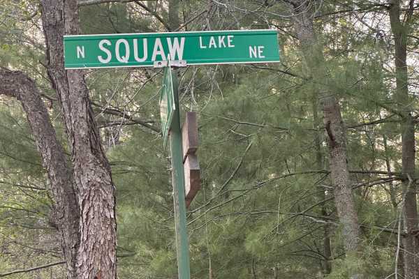
North Crooked Lake Road

Total Miles4.6
Technical Rating
1Easy
Best TimeSpring, Summer, Fall
Trail TypeFull-Width Road
Accessible By
Open Trail Map

Trail Overview

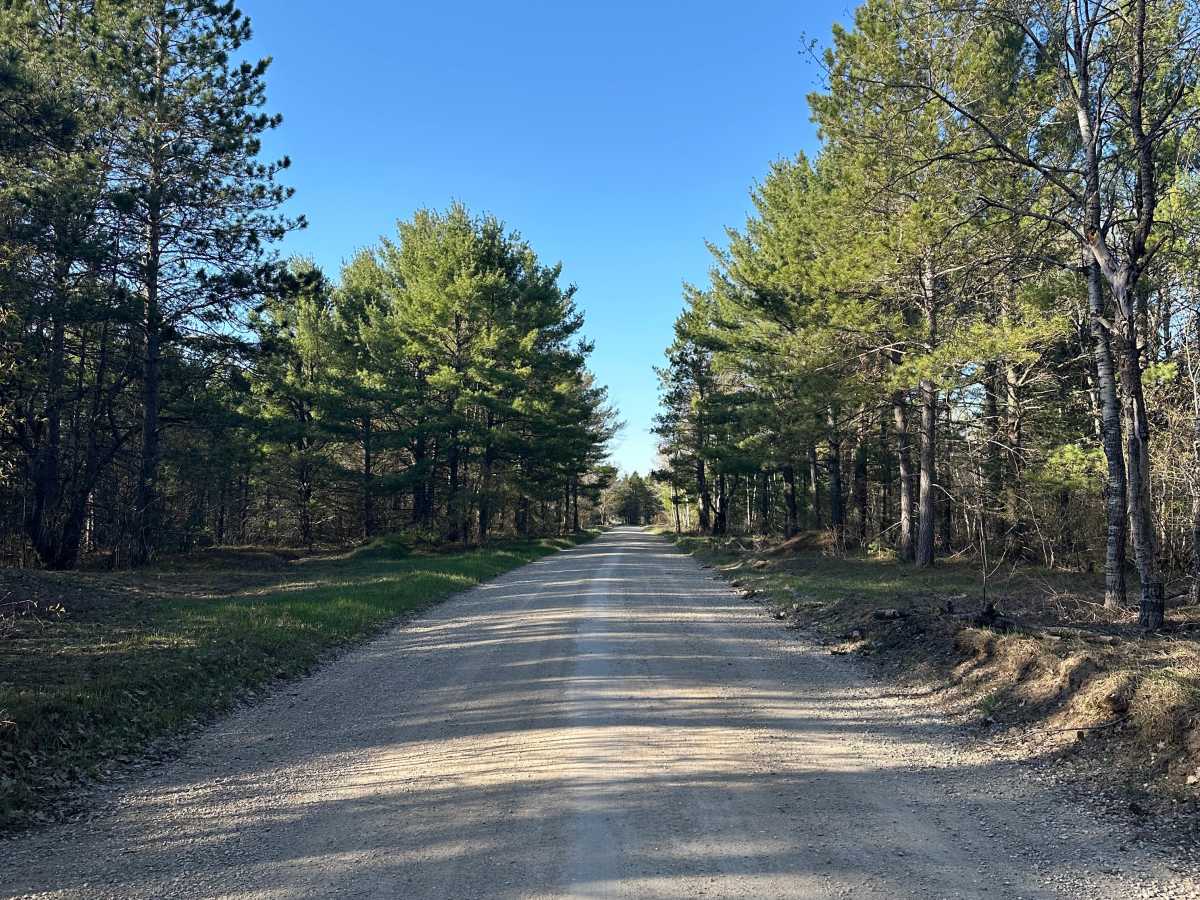
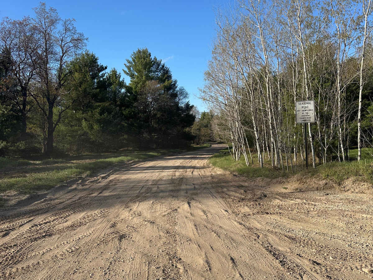
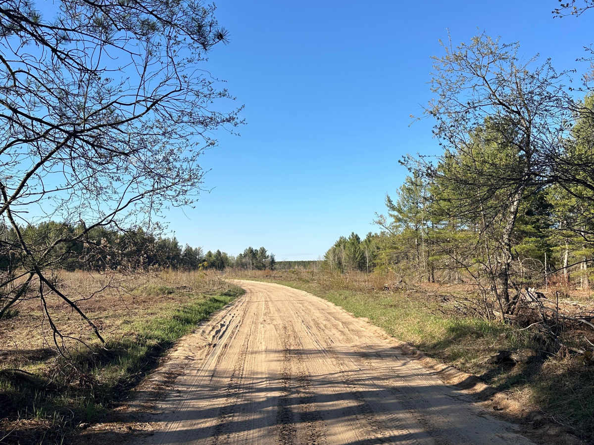
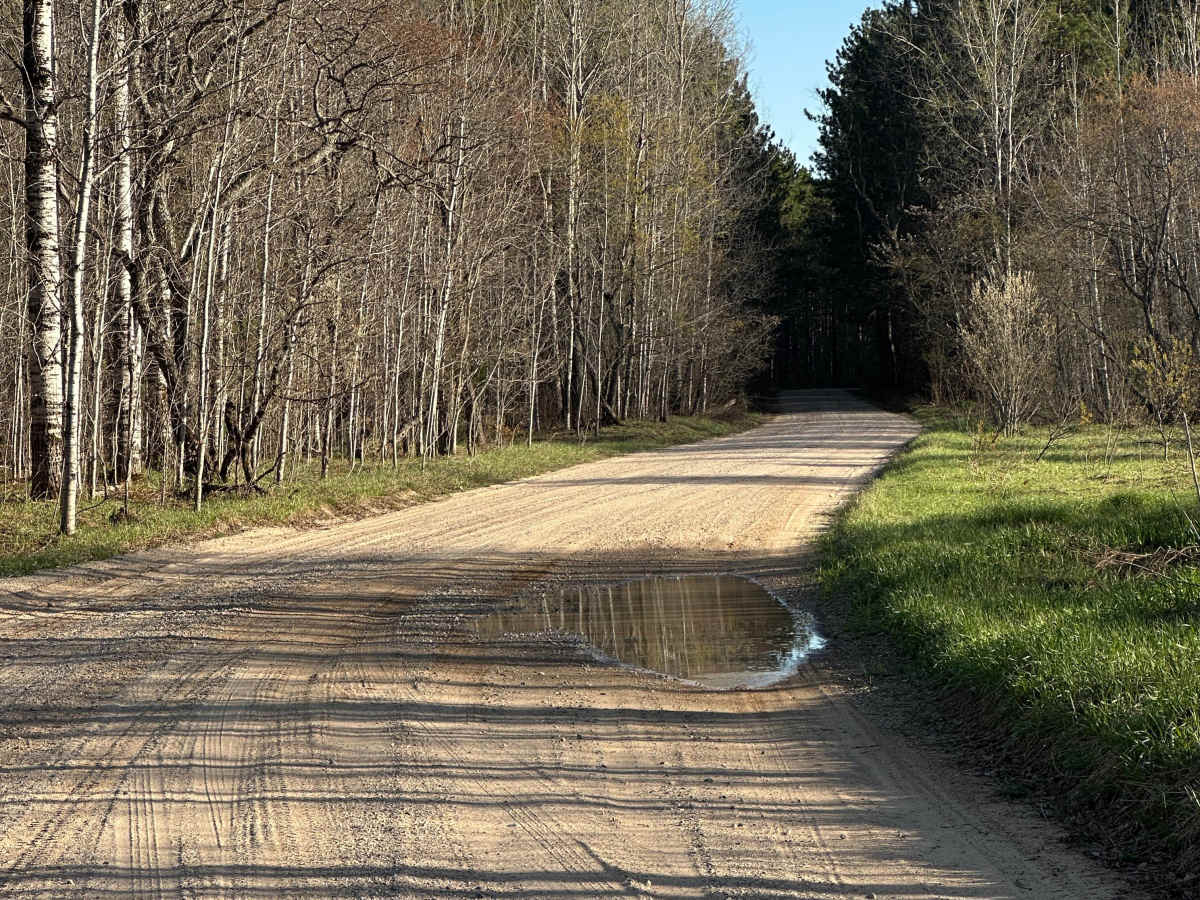
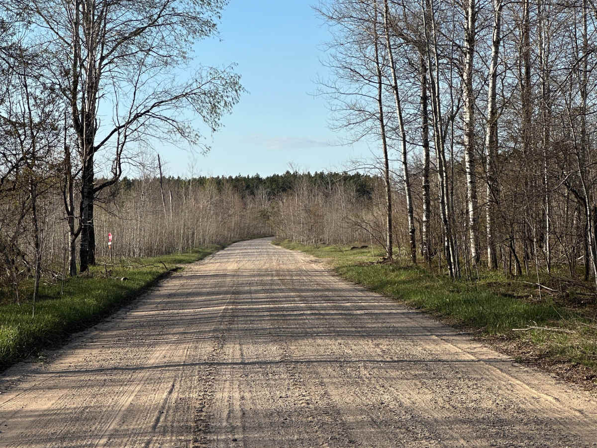
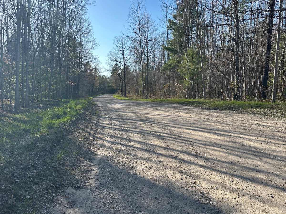
North Crooked Lake Road is an easy seasonal forest road ideal for stock 4WD vehicles and SUVs. This double-lane dirt, gravel, and sand route travels through the Gaylord/Traverse City Forest Management Unit, offering a smooth ride with occasional sandy stretches that can become slightly looser during dry conditions. The road is wide enough for two-way traffic throughout most of its length, making it a comfortable option for exploring the surrounding trail network while enjoying opportunities to spot deer, wild turkeys, and other local wildlife among the pine and hardwood forests. The route connects with several nearby forest roads and trails, making it a convenient link for creating a longer day of off-road exploration before ending at Mancelona Road. Elevation changes are minimal, and the well-traveled surface is generally suitable for most high-clearance vehicles when conditions are dry, although seasonal weather can affect traction in sandy areas. Visitors should remain on designated roads to protect the surrounding forest ecosystem, respect other recreationists, and follow Tread Lightly principles to help preserve access to this popular Northern Michigan trail system.

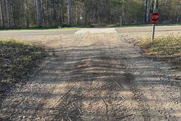
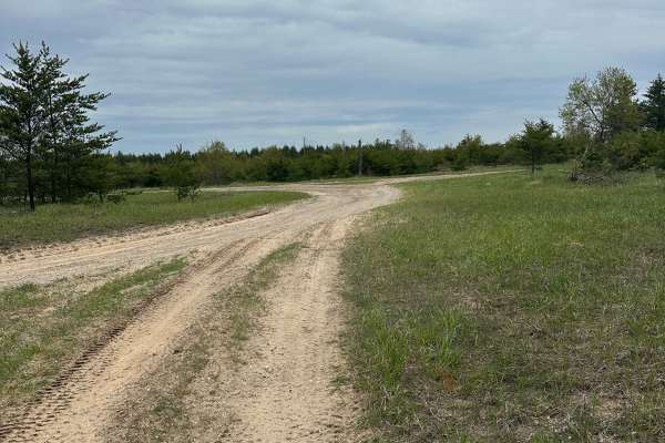
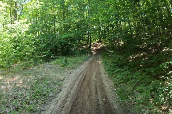
Photos of North Crooked Lake Road

Difficulty

The track is a solid dirt road, but drivers may encounter some sand.

Technical Rating

1

North Crooked Lake Road Trail can be accessed by the following ride types:

  • High Clearance
  • Full Width

North Crooked Lake Road Map

The onX Offroad Difference

onX Offroad combines trail photos, descriptions, difficulty ratings, width restrictions, seasonality, and more in a user-friendly interface. Available on all devices, with offline access and full compatibility with CarPlay and Android Auto. Discover what you're missing today!

Open Trail Map