
Beginner Off-Road Trails
Near Lower Grand Lagoon, Florida
Explore All Beginner Trails Near Lower Grand Lagoon, Florida
Beginner Off-Road Trails Near Lower Grand Lagoon, Florida
Discover the best beginner-friendly off-road trails near you. These easier, lower-rated trails are a great place to start — browse trail maps, check difficulty ratings, and find your next adventure.
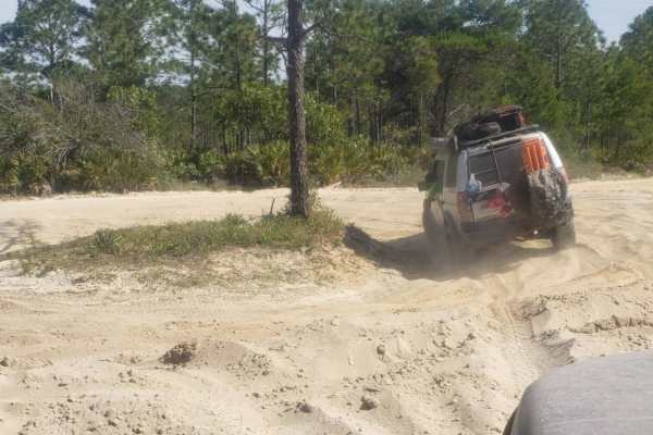
Point Washington State Forest 1
Point Washington State Forest 1 offers offroaders an easy but engaging journey through scenic pine flatwoods, making it a perfect adventure for those looking to experience Florida's unique coastal ecosystems. Spanning roughly 9 miles of flat terrain with minimal elevation changes, this trail primari...
Learn more about Point Washington State Forest 1
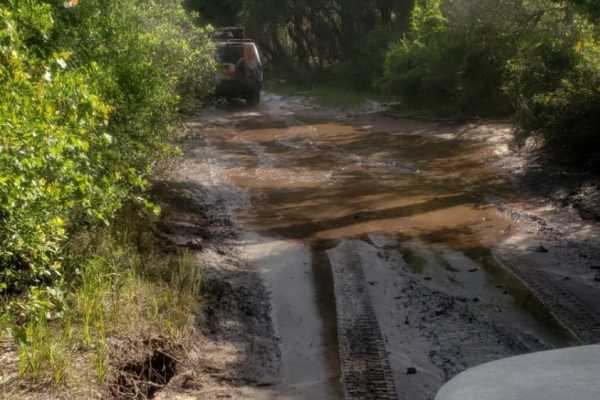
Point Washington State Forest 2
Point Washington State Forest 2 offers a scenic off-road drive through Florida’s coastal pine flatwoods, making it a perfect adventure for those seeking a mix of easy cruising and occasional sandy challenges. Spanning approximately 5.5 miles near the communities of Seaside and Seagrove Beach, this f...
Learn more about Point Washington State Forest 2
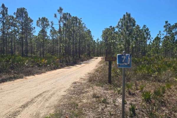
Road 7
Road 7 is a short 1.1-mile sandy access road in Point Washington State Forest that takes about 15 minutes one way and dead-ends at the Eastern Lake Campground. The road is mostly single-lane with occasional pull-offs for passing and can become soft in dry conditions, though it is generally easy and ...
Learn more about Road 7
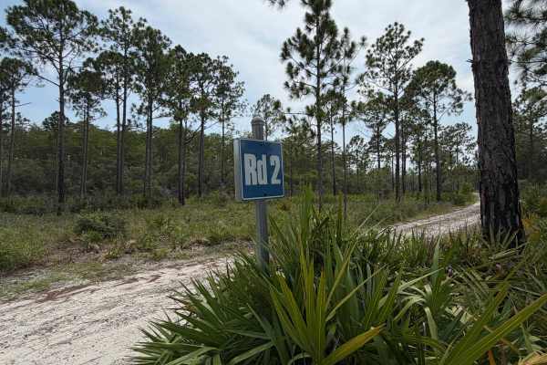
Point Washington State Forest Connector
This is a connection trail for Point Washington State Forest trails 1 & 2. There is signage as well at the fork in the road if you are going westbound. This section is just like the main trail, with sand and the occasional mud due to any recent rainfall.
Learn more about Point Washington State Forest Connector
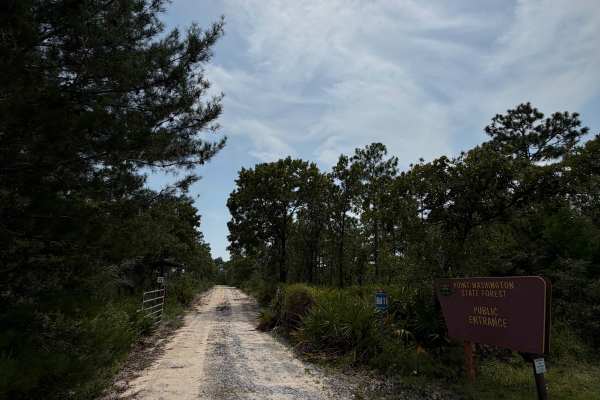
Point Washington State Forest Highway 98 Entrance
This is an entrance trail off of Highway 98 that leads to the main Point Washington State Forest 1 trail. It is marked with public signage visible from Highway 98; however, proceed with caution when exiting the Highway and reducing speed. This is a sandy trail that leads to an open, sandier area and...
Learn more about Point Washington State Forest Highway 98 Entrance

Point Washington Water Crossing 2
This trail is mostly loose sand, with some muddy, rutted areas depending on recent rainfall, and also features a water crossing. There is a walkable path to the side of the trail to help gauge water depth. This trail is also shared with hikers/bikers. It is clearly marked where they are able to cros...
Learn more about Point Washington Water Crossing 2

Point Washington Water Crossing 1
This is a down-and-back loop due to a "No Motorized Use" sign at the end of the trail. This is a sandy route with multiple water crossings. Water depth can vary due to the amount of rain. There is a walkable trail off to the left of the crossing to gauge the depth of water. This trail also intersect...
Learn more about Point Washington Water Crossing 1
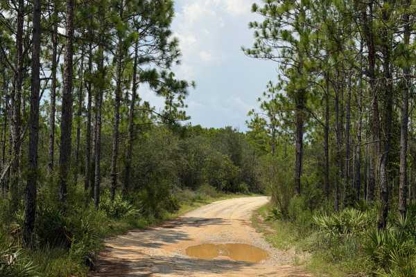
Point Washington State Forest Highway 293 Entrance
This trail is accessible off of County Highway 283. This trail features loose sand and mud, and some sections are very narrow. Some tiny mud holes may be present after a rainstorm. Maintain the posted speed of 15mph due to oncoming traffic, hikers, and bicyclists. This is mainly pine woods forest wi...
Learn more about Point Washington State Forest Highway 293 Entrance
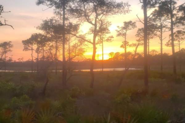
Point Washington State Forest 28
This easy trail through the state forest is a mix of gravel and loose sand. During heavy rain, there are some mud puddles to splash in. Very easy drive. There is no dispersed camping along the trail, and the side roads have been closed due to restoration. This trail features a creepy pet cemetery.
Learn more about Point Washington State Forest 28

Point Washington State Forest 4
Point Washington State Forest 4 is a scenic off-road trail tailored for drivers looking to navigate the coastal pine flatwoods of Florida's panhandle on a short, 1.3-mile route. Branching off directly from US Highway 98 West, this unpaved track introduces offroaders to a mix of smooth sand surfaces ...
Learn more about Point Washington State Forest 4
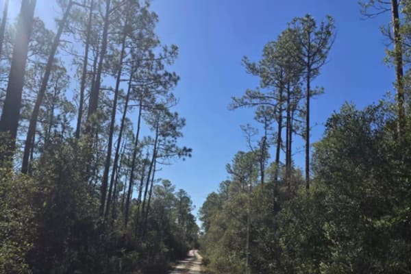
Point Washington State Forest Road 31
Road 31 is a short access trail off the main highway in Point Washington State Forest that leads into the forest and connects to the main forest road system. At less than a mile long, it’s an easy drive that can be completed in just a few minutes. The surface is mostly hard-packed sand, making it ac...
Learn more about Point Washington State Forest Road 31
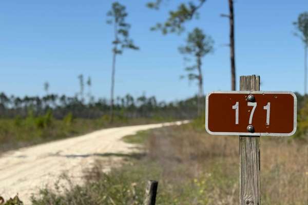
River Styx 171
This route begins in a wide open clear-cut area before gradually working its way back into a more forested setting and ultimately ending at the river's edge. Along the way, there are plenty of flat, dry pull-offs perfect for tucking in and setting up camp. It's a peaceful and visually striking drive...
Learn more about River Styx 171
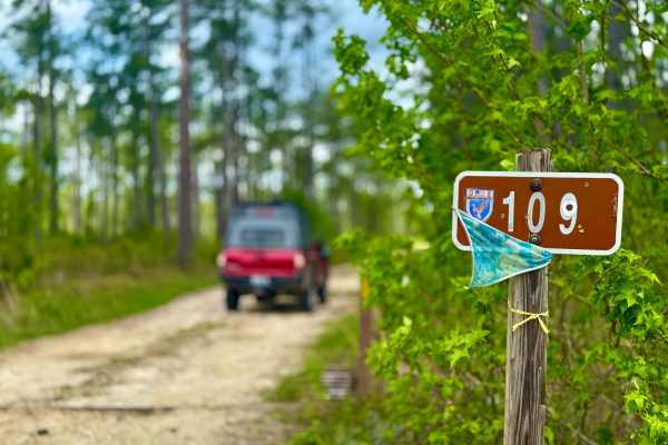
Lewis 109
This trail winds through a beautiful stretch of forest filled with big, tall pines and classic Florida terrain. The road is mostly sandy with a few muddy sections that can become problematic and less enjoyable during or after heavy rains. Scattered access roads branch off along the way, offering add...
Learn more about Lewis 109
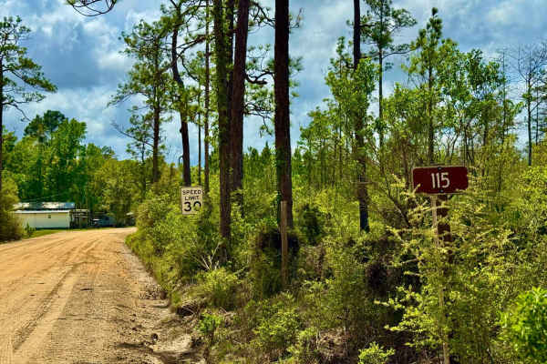
Big Cypress - FS 115
This wide two-lane forest road begins just off the highway and immediately passes through a mix of private inholdings and long-standing campsites, giving it a unique blend of public and historic use. The surrounding landscape features towering old-growth pines and unmanaged timber, creating a tight,...
Learn more about Big Cypress - FS 115
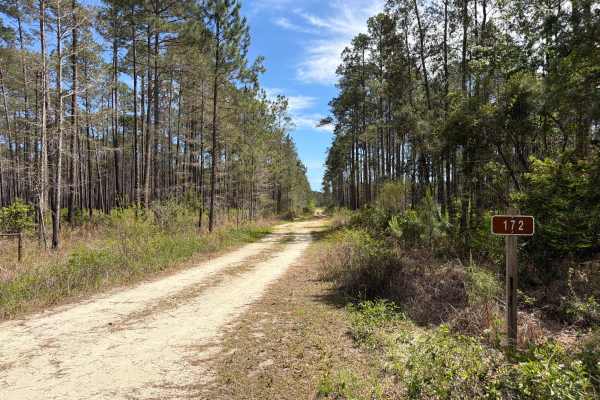
Raum - FS 172
Raum, also known as Apalachicola National Forest Road 172, connects Larkin Trail at the north end and State Route 379 at the south end. It takes you through the southwest part of the Apalachicola National Forest along Kennedy Creek and gives you access to a few OHV trails. The road conditions are a ...
Learn more about Raum - FS 172
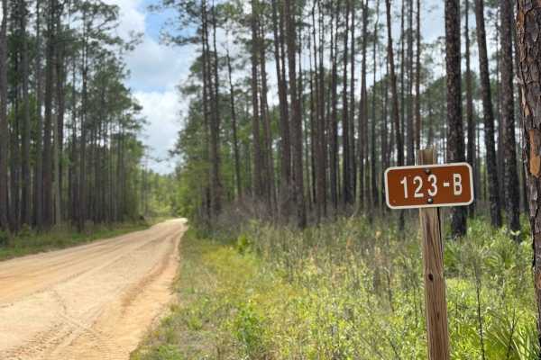
FS-123-B
FS-123B is a short, well-maintained road that leads to Cotton Landing Campground, offering a peaceful and scenic spot for camping. The trail is easy to navigate, providing access to the campground, which is free to use. The road ends at private property, but before that, it's a great place to find a...
Learn more about FS-123-B
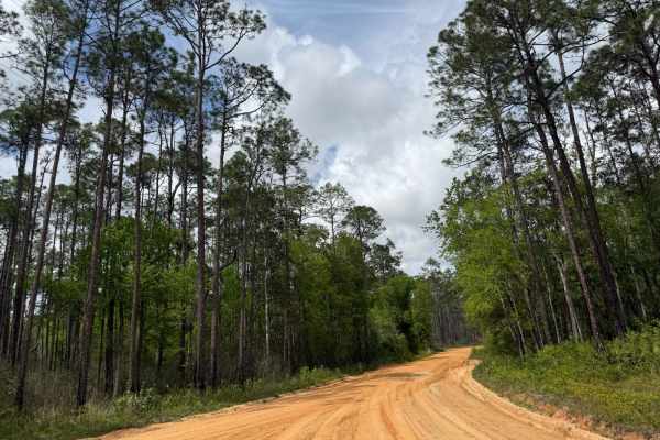
Briar Patch Road - FS 123 North
Briar Patch Road North (FS-123) is a well-maintained, two-lane forest road located in the Apalachicola National Forest, Florida. The road winds through dense pine forests, offering a serene and scenic drive. It provides access to Cotton Landing, a popular spot for fishing and canoeing along Kennedy ...
Learn more about Briar Patch Road - FS 123 North
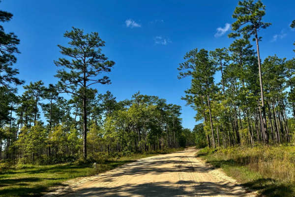
FS-123A
This short stretch provides hiking and foot access to nearby water features, making it a great stop for those looking to explore on foot or fish. While some surrounding areas are swampy, the road itself is hard-packed and typically dry, allowing for easy travel. It's a mellow route without major obs...
Learn more about FS-123A
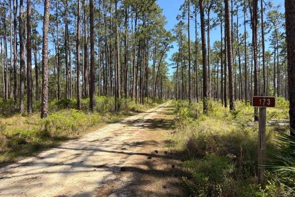
Old Pete - FS 173
Old Pete, also known as Apalachicola National Forest Road 173, connects Lewis Trail at the north end and Larkin Trail at the south end. It takes you through the southwest part of the Apalachicola National Forest along Kennedy Creek and gives you access to a few OHV trails. The road conditions are a ...
Learn more about Old Pete - FS 173
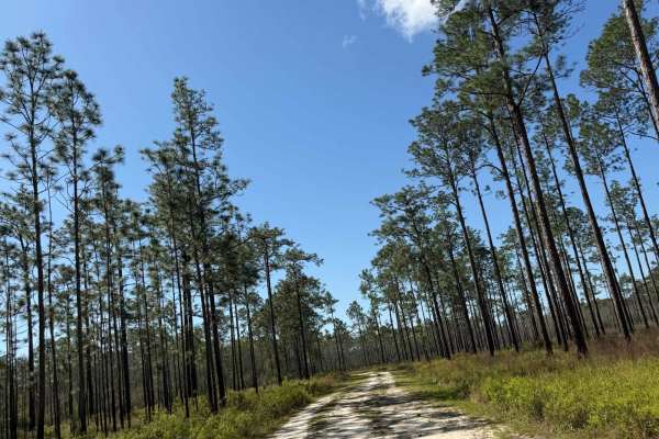
Rowletts Creek - FS 106S
This short, narrow route winds its way through dense forest before opening up into a large, flat area with walking access to the water--perfect for fishing or relaxing by the bank. Along the way, you'll pass an old beehive stand, a reminder of the area's rustic past. The road is tight in spots and b...
Learn more about Rowletts Creek - FS 106S
Beginner ATV trails near Lower Grand Lagoon, Florida
Explore ATV-friendly trails near you. These trails are accessible for vehicles up to 50 inches wide, perfect for ATVs and smaller off-road machines.
River Styx 171
This route begins in a wide open clear-cut area before gradually working its way back into a more forested setting and ultimately ending at the river's edge. Along the way, there are plenty of flat, dry pull-offs perfect for tucking in and setting up camp. It's a peaceful and visually striking drive...
Learn more about River Styx 171
Lewis 109
This trail winds through a beautiful stretch of forest filled with big, tall pines and classic Florida terrain. The road is mostly sandy with a few muddy sections that can become problematic and less enjoyable during or after heavy rains. Scattered access roads branch off along the way, offering add...
Learn more about Lewis 109
Big Cypress - FS 115
This wide two-lane forest road begins just off the highway and immediately passes through a mix of private inholdings and long-standing campsites, giving it a unique blend of public and historic use. The surrounding landscape features towering old-growth pines and unmanaged timber, creating a tight,...
Learn more about Big Cypress - FS 115
Raum - FS 172
Raum, also known as Apalachicola National Forest Road 172, connects Larkin Trail at the north end and State Route 379 at the south end. It takes you through the southwest part of the Apalachicola National Forest along Kennedy Creek and gives you access to a few OHV trails. The road conditions are a ...
Learn more about Raum - FS 172
Beginner UTV/side-by-side trails near Lower Grand Lagoon, Florida
Find UTV and side-by-side trails near you. These trails accommodate vehicles up to 60 inches wide, ideal for UTVs, side-by-sides, and wider off-road rigs.
River Styx 171
This route begins in a wide open clear-cut area before gradually working its way back into a more forested setting and ultimately ending at the river's edge. Along the way, there are plenty of flat, dry pull-offs perfect for tucking in and setting up camp. It's a peaceful and visually striking drive...
Learn more about River Styx 171
Lewis 109
This trail winds through a beautiful stretch of forest filled with big, tall pines and classic Florida terrain. The road is mostly sandy with a few muddy sections that can become problematic and less enjoyable during or after heavy rains. Scattered access roads branch off along the way, offering add...
Learn more about Lewis 109
Big Cypress - FS 115
This wide two-lane forest road begins just off the highway and immediately passes through a mix of private inholdings and long-standing campsites, giving it a unique blend of public and historic use. The surrounding landscape features towering old-growth pines and unmanaged timber, creating a tight,...
Learn more about Big Cypress - FS 115
Raum - FS 172
Raum, also known as Apalachicola National Forest Road 172, connects Larkin Trail at the north end and State Route 379 at the south end. It takes you through the southwest part of the Apalachicola National Forest along Kennedy Creek and gives you access to a few OHV trails. The road conditions are a ...
Learn more about Raum - FS 172
The onX Offroad Difference
onX Offroad combines trail photos, descriptions, difficulty ratings, width restrictions, seasonality, and more in a user-friendly interface. Available on all devices, with offline access and full compatibility with CarPlay and Android Auto. Discover what you're missing today!
Open Trail Map