
Beginner Off-Road Trails
Near Lincoln University, Pennsylvania
Explore All Beginner Trails Near Lincoln University, Pennsylvania
Beginner Off-Road Trails Near Lincoln University, Pennsylvania
Discover the best beginner-friendly off-road trails near you. These easier, lower-rated trails are a great place to start — browse trail maps, check difficulty ratings, and find your next adventure.
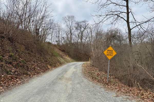
Fishing Creek to Hawk Point
This is generally an easy gravel trail that winds along and through Fishing Creek. It's about 1.5 vehicles wide, but there are numerous pull-outs to allow opposing traffic to pass. Remote and scenic. There are three water crossings that have a concrete slab bottom, but after significant rain, these ...
Learn more about Fishing Creek to Hawk Point
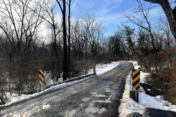
Possum Hollow
Quite possibly the only gravel road you'll find in a wide area! A fun one to check out any time of year, and you can count on it not being well maintained in winter. There are multiple old ruins to view (they are private property, please keep out) along the road, and a beautiful stream crosses under...
Learn more about Possum Hollow
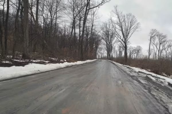
Middle Creek Adventure Tour
The Middle Creek Adventure Tour is an easy, scenic run through Pennsylvania’s nearly 6,000-acre Middle Creek Wildlife Management Area. The route rolls over wooded ridges, dips through creek valleys, and passes the edge of Middle Creek Lake, with mostly hard-packed gravel, some loose stone, potholes,...
Learn more about Middle Creek Adventure Tour
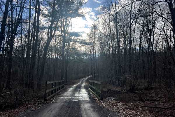
Bear Creek Road
This road exists to provide access to State Game Lands 110 and the Bartram Trail. It is a beautiful drive down a rugged gravel road through the forest and across a mountain stream to a very remote area of Schuylkill County. There is a large parking lot at the end of the road. Don't be scared by the ...
Learn more about Bear Creek Road
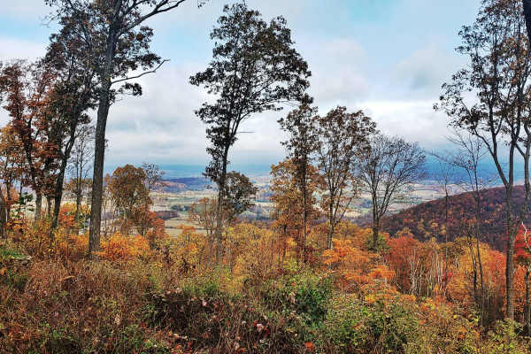
Oak Road
Oak Road winds through the rugged Port Clinton Tract of Weiser State Forest, providing access to top spots like the Port Clinton Fire Tower, the popular hiking destination of the Pinnacle Trail, and several other rewarding hiking adventures. Designated roadside campsites are available along the trai...
Learn more about Oak Road
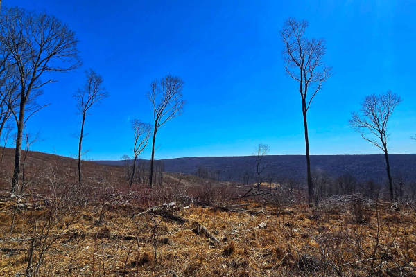
Slusser Rd
Slusser Road winds through the rugged, lesser-traveled Port Clinton Tract of Weiser State Forest, offering a peaceful gravel route surrounded by dense forest. This area is a gateway to several hiking trails that explore the rocky ridges and hardwood stands of the region, making it a favorite for hik...
Learn more about Slusser Rd
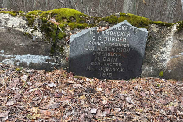
Sleepy Creek Trail
The trail was a mix of everything. There are some washed-out sections and a bunch of deep water puddles, so you’ll want to take your time picking lines. Ground conditions change a lot — some spots are hard-packed dirt, then it switches to loose sand, which can get a little tricky. We went out the da...
Learn more about Sleepy Creek Trail
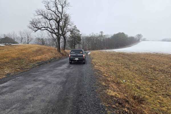
Game Preserve Road
Trail runs along the south border of state game lands #205. The north side of the trail is bordered by trees, and the south side is open fields on rolling hills. There is one overlook viewing the game lands about halfway down the trail. The trail surface is gravel with numerous potholes and a few mu...
Learn more about Game Preserve Road
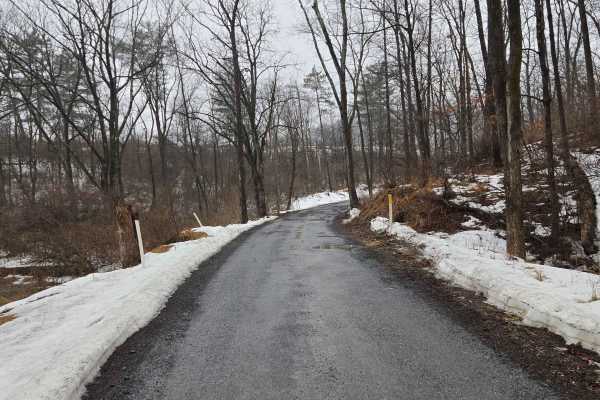
Warden Road
Warden Road is a gravel road that is relatively well-maintained but has numerous potholes by the end of winter & after rain. There are several public gun ranges accessible by this road, and it borders state game lands. The gun ranges are clearly marked on the side where they meet the road. The west ...
Learn more about Warden Road
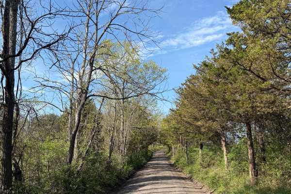
Oak Grove Road
While this is a mostly easy hardpack dirt road, it does feature a handful of very tight loose turns, steep inclines/declines, and is more narrow then most nearby dirt roads. This route is located in the woods of Upper Bucks County, close to 611, and is a public municipal road. At its northern end, ...
Learn more about Oak Grove Road
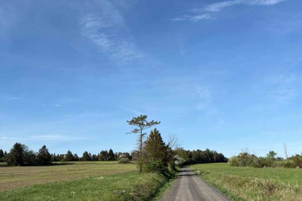
Randts Mill Road
This is an easy hard-pack dirt road located in Upper Bucks County. While not difficult, this trail and its scenery are incredibly aesthetic - go slow and enjoy the view. It is a municipal road, which means all vehicles must obey posted speed limits and be registered/insured. Open year-round, it does...
Learn more about Randts Mill Road
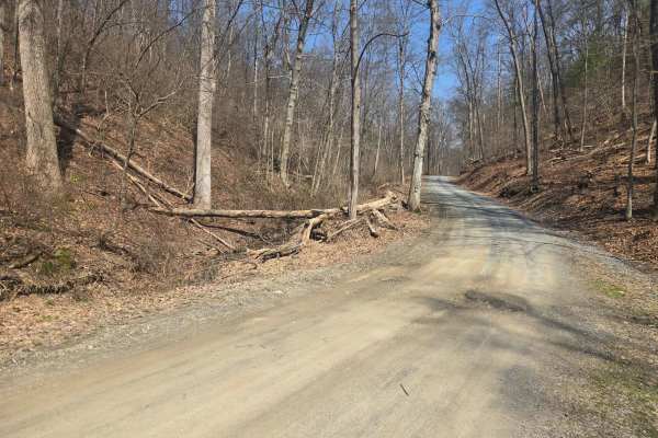
Spooner Road
The trail surface is gravel with numerous potholes and a few muddy ruts along the side. The trail turns to pavement for a few hundred feet at the east end. There are state game lands on either side of the road, with a large parking lot halfway down the road to access the state game lands. A nice b...
Learn more about Spooner Road
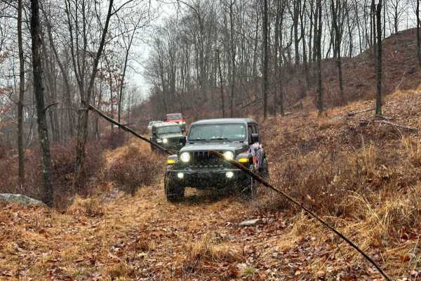
R2
R2 is a relatively new trail and may appear a little grassy as it is not frequently used. However, it offers an enjoyable experience if you find yourself on the ridge and seeking green trails. Although the map indicates it leads to a blue trail and stops, you can continue onward, as that section of ...
Learn more about R2
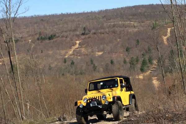
R1
R1 serves as the connector between the trails atop the ridge, offering a smooth pathway with occasional small rocks and moderate puddles to navigate. As there is only one other green trail on the ridge, and it can be challenging at times, it's important to plan your route accordingly. Keep in mind t...
Learn more about R1
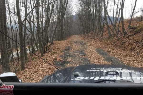
L
Trail L primarily follows an old railroad bed alongside Route 81. It provides a pleasant experience, allowing you to observe the highway while driving down an easier trail. However, there is a rutted and slightly rocky section between the railroad bed and Trail R. This part of the trail can be brush...
Learn more about L
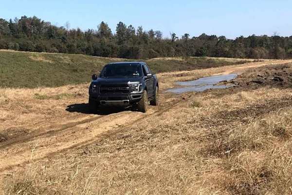
Area 51 Green B
This section of Area 51 traverses through field areas, featuring open paths between planted fields with occasional rocks and puddles. The trails are generally straightforward with minor obstacles to watch for. However, there is one part characterized by a tight, brushy trail with a small hill climb.
Learn more about Area 51 Green B
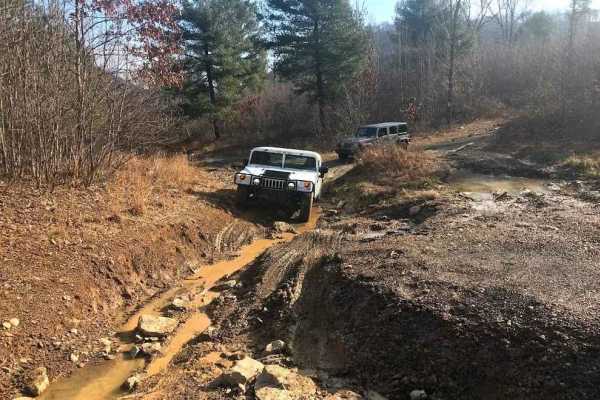
R
Trail R serves as a connector between N3 and the trail atop the ridge at R1, providing the sole access point to reach that area. It is a slightly rocky, washed-out, and rutted trail that ascends the hill to the southernmost trails.
Learn more about R
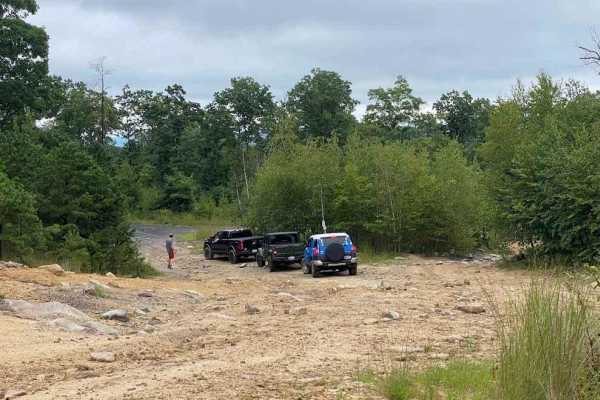
N4
One of the quickest and easiest routes from the depths of the northeast property to return towards the office is N4. It leads through the old high-speed area and up near Blacktop Road, giving you the flexibility to choose your next route. It is an easy trail to drive and navigate through.
Learn more about N4

Area 51 Green A
This section of Area 51 runs through field areas, offering open paths between planted fields with occasional rocks and puddles. The trails are generally straightforward, with minor obstacles to watch for. This area includes Pit Jr and connects to multiple other areas within Area 51. It is considered...
Learn more about Area 51 Green A
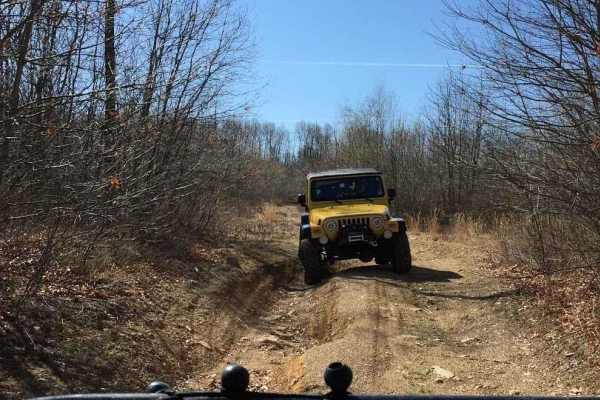
Area 51 Green C
Area 51 comprises multiple sections, serving as a connector for various trail areas. The trail network in this region originated from ground tests, where a bulldozer plowed paths to assess minerals in the soil. Consequently, these paths evolved into interconnected trails, explaining their appearance...
Learn more about Area 51 Green C
Beginner ATV trails near Lincoln University, Pennsylvania
Explore ATV-friendly trails near you. These trails are accessible for vehicles up to 50 inches wide, perfect for ATVs and smaller off-road machines.
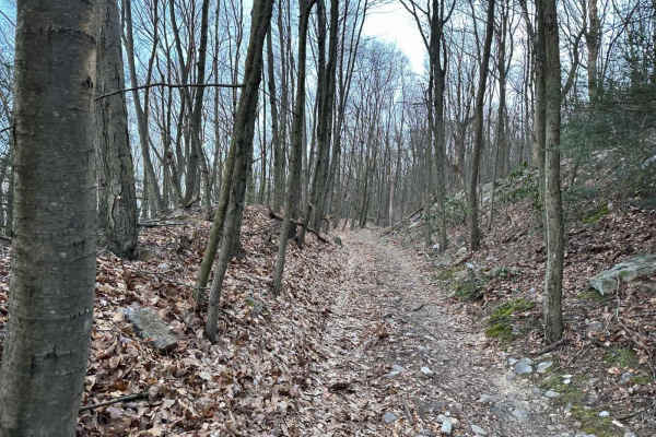
Tower City 14
This is a dead-end trail that goes up the mountain to what was a coal mining area. You will see the coal mine remnants in the form of pits and piles off to the sides. There are two small offshoots on this section but both are dead ends.
Learn more about Tower City 14
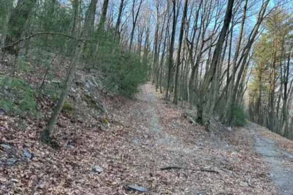
Tower City 15
This is a dead-end trail that goes up the mountain to what was a coal mining area. You will see the coal mine remnants in the form of pits and piles off to the sides. There are two small offshoots on this section but both are a dead end.
Learn more about Tower City 15
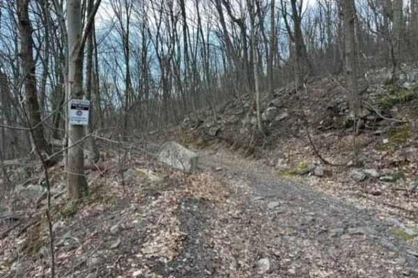
Tower City 6
Tower City 6 is probably the longest trail in this trail network. It goes from Gold Mine Road all the way out to Trail 3. This trail is a railroad bed so it is very flat and smooth with just a few rocky spots but plenty of puddles.
Learn more about Tower City 6
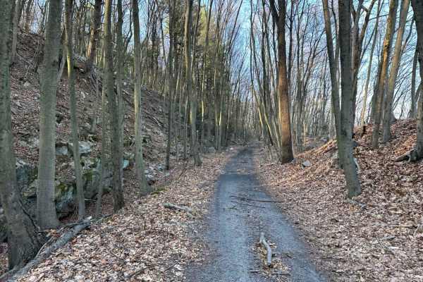
Tower City 20
Tower City 20 is a connector trail that takes you through the woods. Some areas will be tight for full-size vehicles, so use caution. Be on the lookout for downed trees and/or tree limbs. The very slight up-and-down hills with small rocks are barely noticeable.
Learn more about Tower City 20
Beginner UTV/side-by-side trails near Lincoln University, Pennsylvania
Find UTV and side-by-side trails near you. These trails accommodate vehicles up to 60 inches wide, ideal for UTVs, side-by-sides, and wider off-road rigs.
Sleepy Creek Trail
The trail was a mix of everything. There are some washed-out sections and a bunch of deep water puddles, so you’ll want to take your time picking lines. Ground conditions change a lot — some spots are hard-packed dirt, then it switches to loose sand, which can get a little tricky. We went out the da...
Learn more about Sleepy Creek Trail
Tower City 14
This is a dead-end trail that goes up the mountain to what was a coal mining area. You will see the coal mine remnants in the form of pits and piles off to the sides. There are two small offshoots on this section but both are dead ends.
Learn more about Tower City 14
Tower City 15
This is a dead-end trail that goes up the mountain to what was a coal mining area. You will see the coal mine remnants in the form of pits and piles off to the sides. There are two small offshoots on this section but both are a dead end.
Learn more about Tower City 15
Tower City 6
Tower City 6 is probably the longest trail in this trail network. It goes from Gold Mine Road all the way out to Trail 3. This trail is a railroad bed so it is very flat and smooth with just a few rocky spots but plenty of puddles.
Learn more about Tower City 6
The onX Offroad Difference
onX Offroad combines trail photos, descriptions, difficulty ratings, width restrictions, seasonality, and more in a user-friendly interface. Available on all devices, with offline access and full compatibility with CarPlay and Android Auto. Discover what you're missing today!
Open Trail Map