
Beginner Off-Road Trails
Near Lewisburg, Kentucky
Explore All Beginner Trails Near Lewisburg, Kentucky
Beginner Off-Road Trails Near Lewisburg, Kentucky
Discover the best beginner-friendly off-road trails near you. These easier, lower-rated trails are a great place to start — browse trail maps, check difficulty ratings, and find your next adventure.
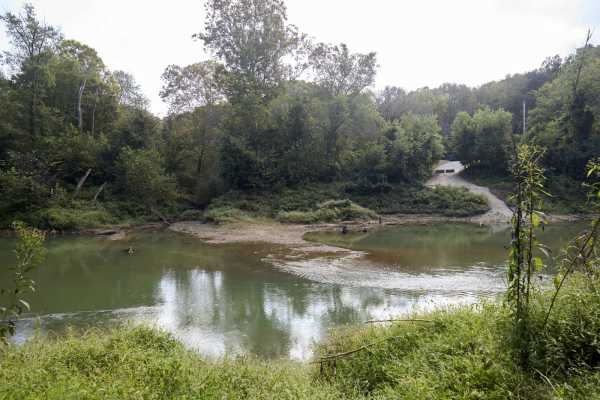
Houchin Ferry - Mammoth Cave NP
Houchin Ferry Road is a 5-mile out-and-back trail that is located within Mammoth Cave National Park. The trail begins off Ollie Road and ends along the Green River. There is no longer a possible way to cross the river at the end of the trail so you must turn back. Along the trail are a few parking a...
Learn more about Houchin Ferry - Mammoth Cave NP
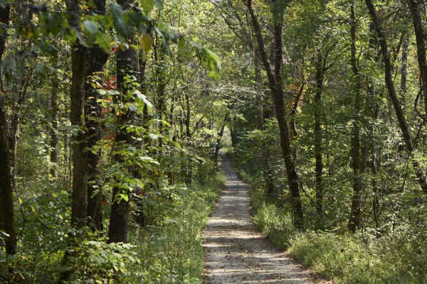
Ugly Creek - Mammoth Cave NP
Ugly Creek Road is a 3.5-mile one-way trail that is located within Mammoth Cave National Park. The trail begins off Green River Ferry Road (1352) and ends on Dennison Ferry Road. The trail can be run in either direction; however, there is a possible impassable water crossing closer to the Green Rive...
Learn more about Ugly Creek - Mammoth Cave NP
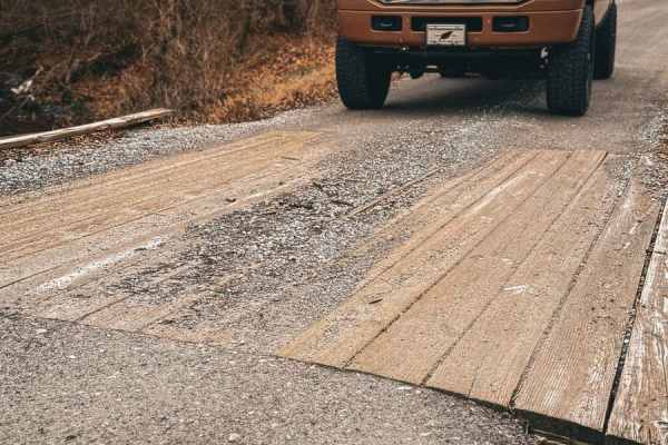
Tooley Branch Road
This trail starts off as an easy gravel track with several creek crossings. About halfway through the track, the gravel stops, and the track turns into a mixture of dirt and rock that will lead you through another creek crossing. The entrance and exit of this creek crossing is slick shale that could...
Learn more about Tooley Branch Road
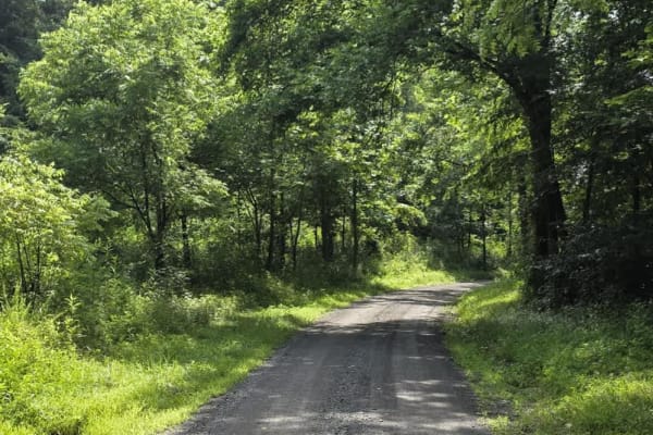
Gravley Hill Road - Macon County Tour
Winding through the gentle terrain of northern Tennessee, this graded gravel trail marks the starting point of the iconic Macon County Tour (MCT), a 100+ mile off-road journey that explores the rolling hills and hardwood forests of Tennessee and Kentucky. While generally easy and well-maintained, th...
Learn more about Gravley Hill Road - Macon County Tour
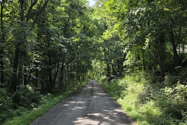
Sullivan Hollow Road - Macon County Tour
This scenic off-road trail, part of the Macon County Tour (MCT), offers an easy yet engaging drive through Tennessee's rolling backcountry. While the route follows a graded path, multiple washouts and narrow stretches without shoulders--some with steep drop-offs--add a layer of caution to the otherw...
Learn more about Sullivan Hollow Road - Macon County Tour
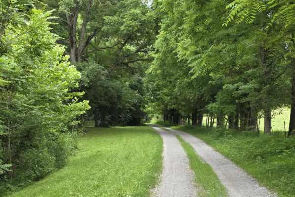
Wix Hollow Road - Macon County Tour
Wix Hollow Road is a scenic and slightly more dynamic segment of the Macon County Tour that briefly crosses into the state of Kentucky. The route features a mixed surface of dirt and gravel, offering a relaxed drive with a bit more character than a standard, maintained county road. The surrounding l...
Learn more about Wix Hollow Road - Macon County Tour
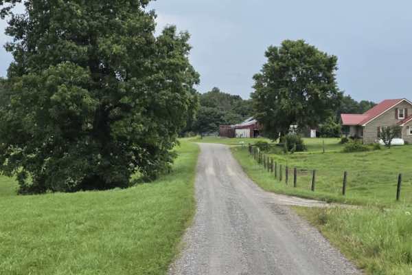
Shockley Hill Road - Macon County Tour
Shockley Hill Road is a very brief connector within the Macon County Tour, serving as a short transition between longer segments of pavement along the route. The road surface is gravel and straightforward for easy navigation, for 4WD and high-clearance 2WD vehicles. While not a destination segment o...
Learn more about Shockley Hill Road - Macon County Tour
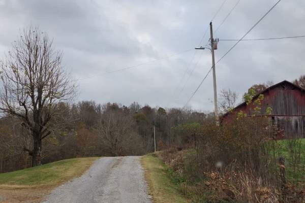
Puncheon Creek Road - Macon County Tour
Puncheon Creek Road is a scenic gravel segment of the Macon County Tour that follows and repeatedly crosses flowing water, creating a relaxed drive with 3 shallow creek features. The road surface consists primarily of loose gravel and travels in close proximity to rural homes and working farms, so m...
Learn more about Puncheon Creek Road - Macon County Tour
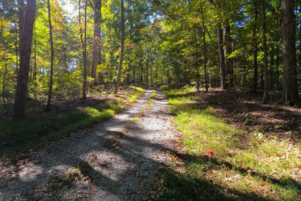
Spring Road - FS 155
Spring Road (FS 155) is a gravel transforming to natural-improved forest service road through the center-east Kentucky section, Lake Barkley side, of the Land Between the Lakes National Recreation Area. This route comes off from the Energy Lake Road (FS 134) heading east, then turning south to the n...
Learn more about Spring Road - FS 155
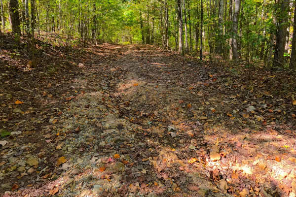
Cunningham Monument - FS 154A
Cunningham Monument (FS 154 Spur A) is a gravel forest service road through the center-east Kentucky section, Lake Barkley side, of the Land Between the Lakes National Recreation Area. This route, after leaving the FS 154, immediately goes down in elevation over a coarse gravel and dirt rutted hill,...
Learn more about Cunningham Monument - FS 154A
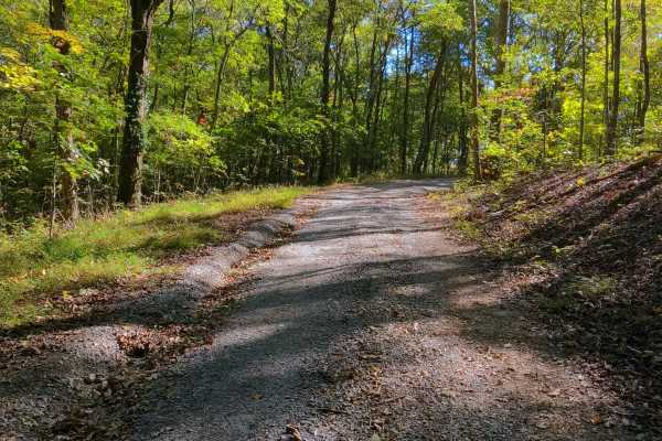
Shanklin Creek - FS 158
Shanklin Creek Road (FS 158) is a gravel forest service road through the center-east Kentucky section, Lake Barkley side, of the Land Between the Lakes National Recreation Area. The 158 comes off from the Energy Lake Road (FS 134) heading northeast, going to the southeast shorelines of the unnamed b...
Learn more about Shanklin Creek - FS 158
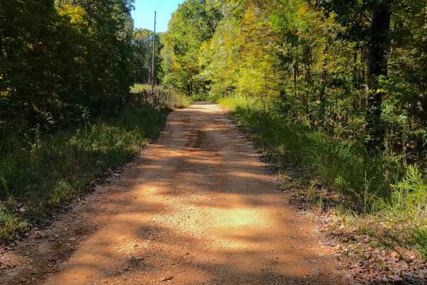
Shaw Branch - FS 154
Shaw Branch Road (FS 154) is a gravel forest service road through the center-east Kentucky section, Lake Barkley side, of the Land Between the Lakes National Recreation Area. This route takes off from the Energy Lake Road (FS 134) heading northeast to a peninsula tip surrounded by three named bodies...
Learn more about Shaw Branch - FS 154
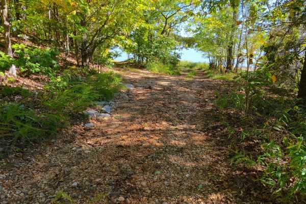
Wallace Road - FS 156
Wallace Road (FS 156) is a gravel transforming into a natural-improved forest service road through the center-east Kentucky section, Lake Barkley side, of the Land Between the Lakes National Recreation Area. This route comes off from the Energy Lake Road (FS 134) heading east, then turning south to ...
Learn more about Wallace Road - FS 156
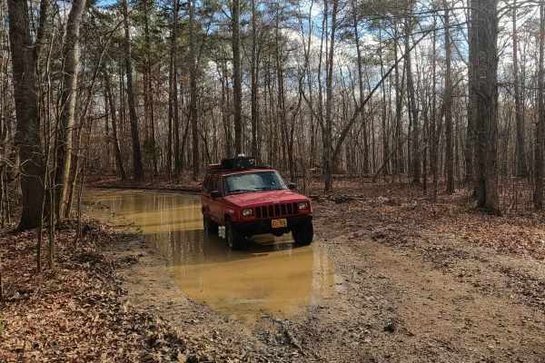
Bald Knob Road - FS 152
Bald Knob Road FS 152 is a natural forestry route through the center east Kentucky section, Lake Barkley side, of the Land Between the Lakes National Recreation Area. The route at its foundation is coarse natural gravel over a dirt base trail, featuring consistent up-and-down mild-graded hills with ...
Learn more about Bald Knob Road - FS 152
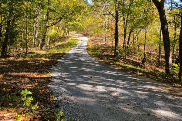
Bogard Road - FS 157
Bogard Road (FS 157) is a gravel forest service road through the center-east Kentucky section, Lake Barkley side, of the Land Between the Lakes National Recreation Area. This route comes off from the Energy Lake Road (FS 134) heading east to the shorelines of Lake Barkley just south of Pond Bay. The...
Learn more about Bogard Road - FS 157
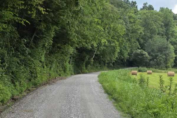
Knight Road - Macon County Tour
Knight Road is a slightly more engaging segment of the Macon County Tour that remains approachable while introducing a few mild features. The road follows a loose gravel surface and travels in close proximity to several rural homes and farms, so drivers should maintain slow speeds and remain alert f...
Learn more about Knight Road - Macon County Tour
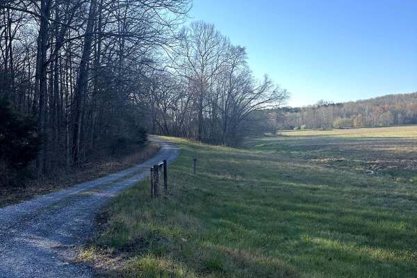
Long Creek Road
Long Creek Road takes you through the Long Creek Waterfowl Refuge. It is an easy gravel drive that will connect to Jenny Ridge Road if coming from Highway 68. The refuge has been around since 1989 and it is closed to the public from November 1st to March 15th for migration season.
Learn more about Long Creek Road
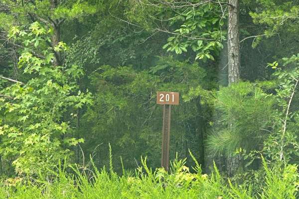
FS - 201
FS 201 is a simple, maintained dirt road split by the KY/TN border within Land Between the Lakes. It is accessed by either the Woodlands Race National Scenic Byway or FS-174. It is an easy drive for any vehicle. Nearby is the Southern Bison Range within LBL, so when coming from the byway you may see...
Learn more about FS - 201
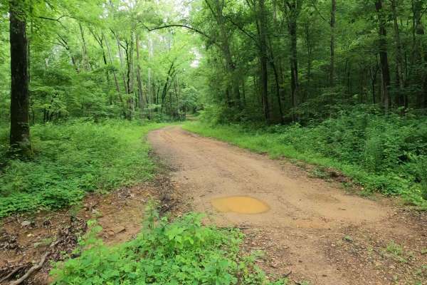
Crutcher Hollow Road FS 213
Crutcher Hollow Road FS 213 is a gravel forestry road through the southern Tennessee section, centrally located off the Woodlands Trace National Scenic Byway headed east to Lake Barkley, of Land Between the Lake National Recreation Area. The road starts just south of the Great Western Furnace, headi...
Learn more about Crutcher Hollow Road FS 213
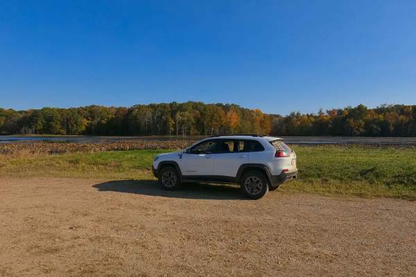
Honker Lake - FS 177
Honker Lake - FS 177 is a gravel forest road through the center-east Kentucky section, Lake Barkley side, of the Land Between the Lakes National Recreation Area. Due to the Wildlife Refuge that exists at the Lake, the road is annually closed to motorized use from 10/31 to 3/15, though it still allow...
Learn more about Honker Lake - FS 177
Beginner ATV trails near Lewisburg, Kentucky
Explore ATV-friendly trails near you. These trails are accessible for vehicles up to 50 inches wide, perfect for ATVs and smaller off-road machines.
Houchin Ferry - Mammoth Cave NP
Houchin Ferry Road is a 5-mile out-and-back trail that is located within Mammoth Cave National Park. The trail begins off Ollie Road and ends along the Green River. There is no longer a possible way to cross the river at the end of the trail so you must turn back. Along the trail are a few parking a...
Learn more about Houchin Ferry - Mammoth Cave NP
Ugly Creek - Mammoth Cave NP
Ugly Creek Road is a 3.5-mile one-way trail that is located within Mammoth Cave National Park. The trail begins off Green River Ferry Road (1352) and ends on Dennison Ferry Road. The trail can be run in either direction; however, there is a possible impassable water crossing closer to the Green Rive...
Learn more about Ugly Creek - Mammoth Cave NP
Gravley Hill Road - Macon County Tour
Winding through the gentle terrain of northern Tennessee, this graded gravel trail marks the starting point of the iconic Macon County Tour (MCT), a 100+ mile off-road journey that explores the rolling hills and hardwood forests of Tennessee and Kentucky. While generally easy and well-maintained, th...
Learn more about Gravley Hill Road - Macon County Tour
Sullivan Hollow Road - Macon County Tour
This scenic off-road trail, part of the Macon County Tour (MCT), offers an easy yet engaging drive through Tennessee's rolling backcountry. While the route follows a graded path, multiple washouts and narrow stretches without shoulders--some with steep drop-offs--add a layer of caution to the otherw...
Learn more about Sullivan Hollow Road - Macon County Tour
Beginner UTV/side-by-side trails near Lewisburg, Kentucky
Find UTV and side-by-side trails near you. These trails accommodate vehicles up to 60 inches wide, ideal for UTVs, side-by-sides, and wider off-road rigs.
Houchin Ferry - Mammoth Cave NP
Houchin Ferry Road is a 5-mile out-and-back trail that is located within Mammoth Cave National Park. The trail begins off Ollie Road and ends along the Green River. There is no longer a possible way to cross the river at the end of the trail so you must turn back. Along the trail are a few parking a...
Learn more about Houchin Ferry - Mammoth Cave NP
Ugly Creek - Mammoth Cave NP
Ugly Creek Road is a 3.5-mile one-way trail that is located within Mammoth Cave National Park. The trail begins off Green River Ferry Road (1352) and ends on Dennison Ferry Road. The trail can be run in either direction; however, there is a possible impassable water crossing closer to the Green Rive...
Learn more about Ugly Creek - Mammoth Cave NP
Gravley Hill Road - Macon County Tour
Winding through the gentle terrain of northern Tennessee, this graded gravel trail marks the starting point of the iconic Macon County Tour (MCT), a 100+ mile off-road journey that explores the rolling hills and hardwood forests of Tennessee and Kentucky. While generally easy and well-maintained, th...
Learn more about Gravley Hill Road - Macon County Tour
Sullivan Hollow Road - Macon County Tour
This scenic off-road trail, part of the Macon County Tour (MCT), offers an easy yet engaging drive through Tennessee's rolling backcountry. While the route follows a graded path, multiple washouts and narrow stretches without shoulders--some with steep drop-offs--add a layer of caution to the otherw...
Learn more about Sullivan Hollow Road - Macon County Tour
The onX Offroad Difference
onX Offroad combines trail photos, descriptions, difficulty ratings, width restrictions, seasonality, and more in a user-friendly interface. Available on all devices, with offline access and full compatibility with CarPlay and Android Auto. Discover what you're missing today!
Open Trail Map