
Beginner Off-Road Trails
Near Lakeview, Alabama
Explore All Beginner Trails Near Lakeview, Alabama
Beginner Off-Road Trails Near Lakeview, Alabama
Discover the best beginner-friendly off-road trails near you. These easier, lower-rated trails are a great place to start — browse trail maps, check difficulty ratings, and find your next adventure.
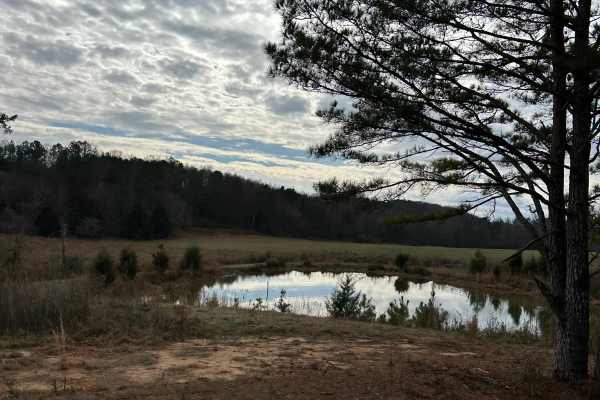
County Road 223
This trail is a mix of dirt and gravel with light washes and mud holes. One lane road with lots of scenic views along the mountainside. A few old barns, chimneys, graveyards, etc, will have to keep a sharp eye out to find these objects along the journey. Private property on both sides of the road, s...
Learn more about County Road 223
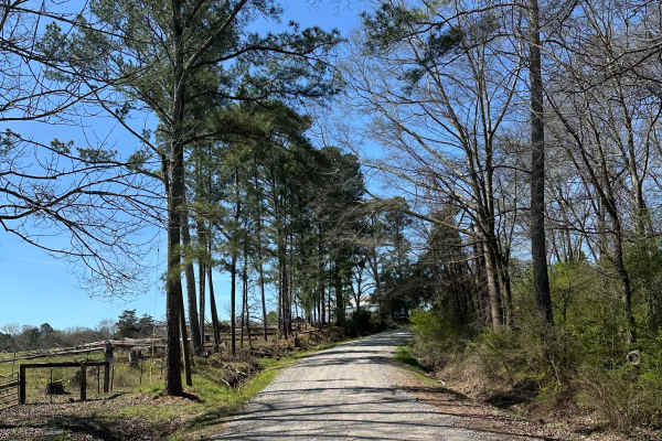
Suttles Road
Smooth gravel road that winds through beautiful farm land. Great view along the road with houses and barns on each side. Private property on both sides of the road, so stay on the road. Very smooth and well-maintained gravel road. About 1 mile of winding through the trees is great during the fall.
Learn more about Suttles Road

Little Coon River Trail
This trail is I bi-directional trail that connects the start of the James D. Martin Skyline WMA to the Upper Ridge Trail and Mountain Bypass Trail. This is an easy-to-moderate trail with multiple water crossings. The water level is dependent upon the season and the recent rain. More water will be in...
Learn more about Little Coon River Trail
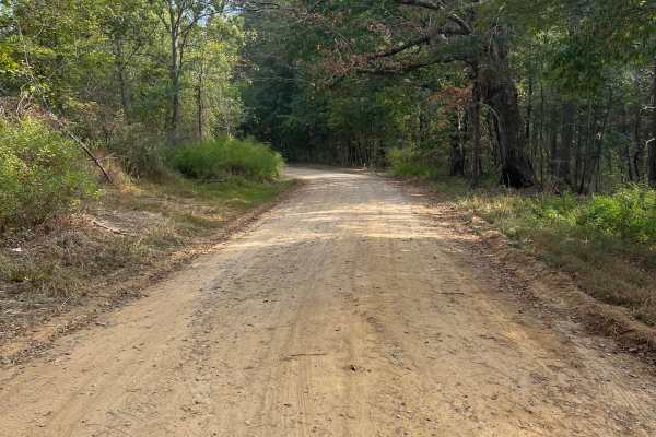
Atwood Trail
Tucked away amidst the majestic, undulating mountains of northwest Georgia lies a hidden gem—a dirt and gravel trail that beckons adventurers and nature enthusiasts alike. This enchanting out-and-back path meanders through the lush expanse of a Wildlife Management Area, promising a tranquil and pict...
Learn more about Atwood Trail
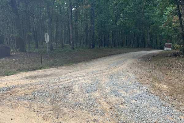
Rocktown Trail
Pigeon Mountain Road is a well-maintained dirt and gravel road winding through scenic forest within a Georgia Wildlife Management Area (WMA). The drive is suitable for most vehicles, leading to a designated parking area at the trailhead. From here, Rocktown Trail begins its journey toward the summit...
Learn more about Rocktown Trail
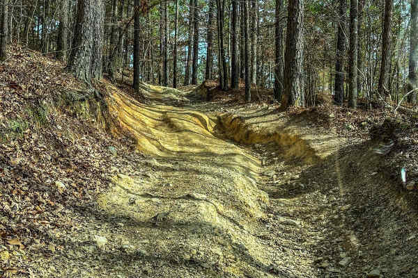
Upper Ridge Trail
This trail is smoother than the surrounding trails it connects to. Once you come off the Evans Ridge Trail, you can turn left and continue onto many other trails. If you take a left, you can also exit the area and reach the main road. Continuing left onto the Upper Ridge Trail, you'll encounter a va...
Learn more about Upper Ridge Trail
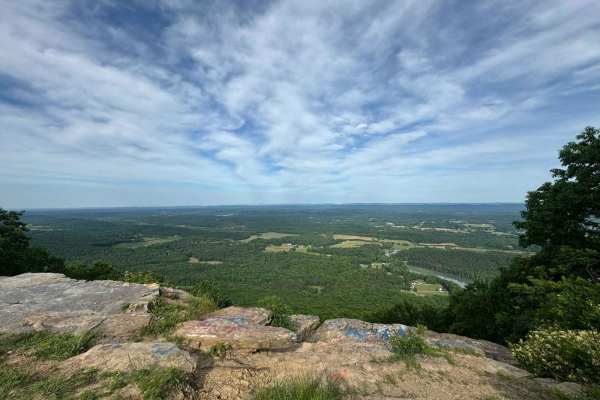
Pigeon Mountain
The trail transitions from pavement to mostly gravel and some dirt. There are no challenging obstacles and multiple possible routes within the trail system. There's an overlook at mile 3.4 (just past the paved section) and an offshoot at mile 5 that is a dead-end dirt trail. It's a bit rougher than ...
Learn more about Pigeon Mountain
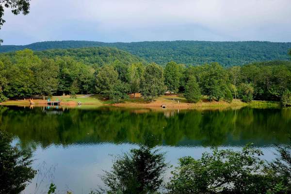
Newsome Gap
Newsome Gap Road (CR 197) is a 3.6-mile, primarily single-lane gravel-over-dirt route with occasional passing points. The scenic mountain descent winds through switchbacks and hairpin turns framed by massive rock formations and intermittent roadside water features. Minor rutting, switchback washouts...
Learn more about Newsome Gap
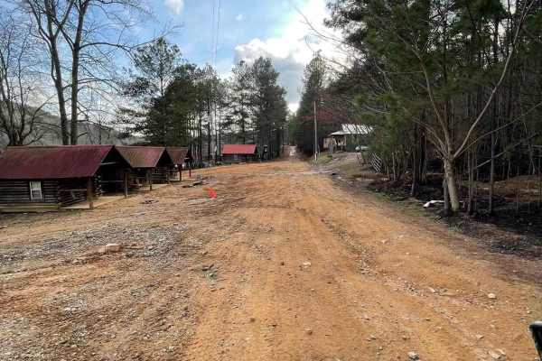
12
The main connecting trail at Indian Mountain ATV park links to Trail 1 and runs uphill, passing by all the cabins. It's an easy trail suitable for any vehicle in 2WD. As you progress, you might encounter a few mud puddles in some areas. The trail accommodates two-way traffic, so be sure to watch out...
Learn more about 12
Trail 8
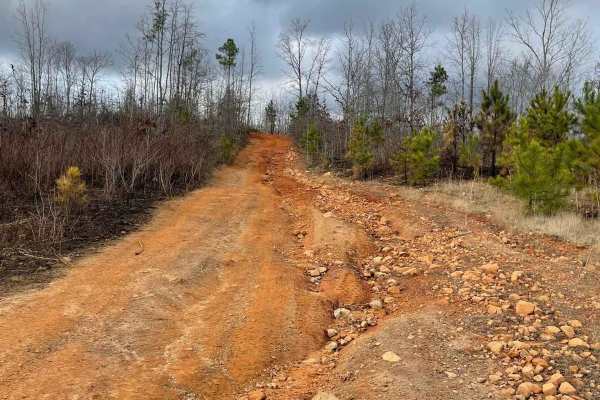
Trail 8 is a shortcut trail that crosses a ridge. It starts at both ends of Trail 12 and leads to the top of Kiley's Crawl and Booger Holler. You can drive it in any vehicle in 2WD. It takes you to the top of Paycheck Holler and allows two-way traffic. Watch out for riders.
Learn more about Trail 8
Taylor's Ridge - FS 254
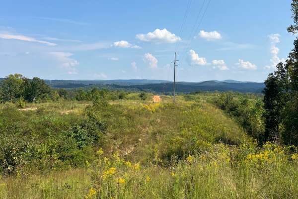
If you’re in the mood for a little adventure, take a detour off Martha Berry Highway (Route 27) and follow the nicely graveled two-track that winds its way into the majestic Chattahoochee National Forest. This hidden gem practically invites you to leave the beaten path and embrace the thrill of expl...
Learn more about Taylor's Ridge - FS 254
16
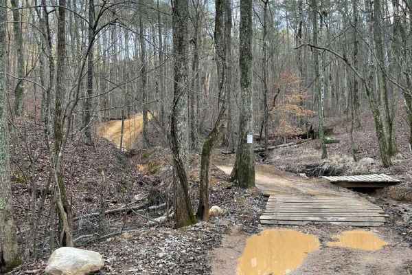
This is the main connecting trail that will take you from the dam and wind through the woods. You'll go past the entrance to Trail 6, Trail 15, and Foxes Hollow and end up at the powerlines, which is a very popular spot to hang out. The trail has a couple of small one-lane bridges to cross.
Learn more about 16
Poplar Springs Trail
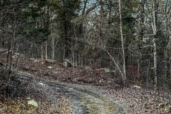
This trail can be run in either direction but is best run from North to South. Starting at the North part you will head South. The trail is mostly down the mountain. There are areas that have large mud areas that will be slick and can be deep depending on the time of year. A few areas have some dro...
Learn more about Poplar Springs Trail
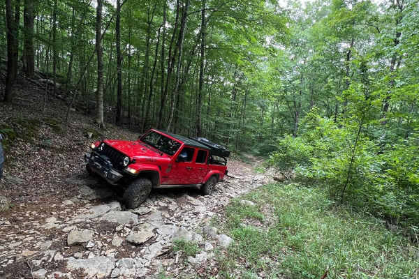
Betsy Gap Trail
This is a bi-directional trail that connects Little Coon River Trail to Poplar Springs Trail. When running from Little Coon River Trail, you will start out by climbing up an area of large slick rock and dirt. Some areas on the elevation change will be loose rock that can cause some traction issues. ...
Learn more about Betsy Gap Trail
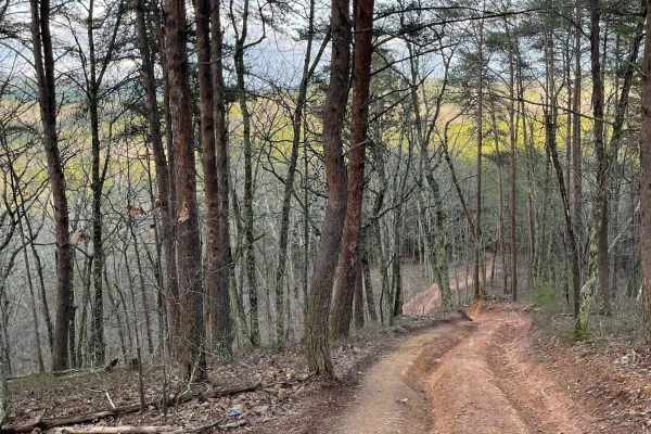
9
Trail 9 is an easy trail that will connect you to trails 16, 11, and 10. Only two-wheel drive is needed. It goes right past the famous Foxes Hollow trail, which can be a challenge at times. It's often a hangout at nighttime. This is a fun and easy connector trail for most.
Learn more about 9
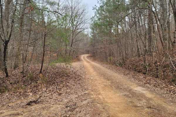
USFSR #570C - Greenleaf
USFSR #570C - Greenleaf is an offshoot of Kings Gap Mountain Road. This low-standard trail is not frequently maintained or heavily traveled; downed trees are likely. This trail is located just on the outskirts of the Dugger Mountain Wilderness Area located in the Rabbittown community of Calhoun Coun...
Learn more about USFSR #570C - Greenleaf
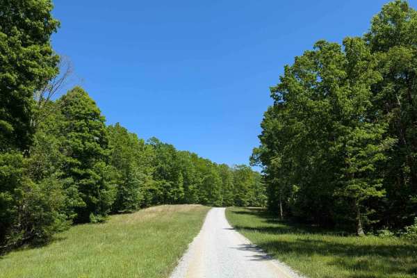
Poplar Springs Road
IMPORTANT: This trail is only open during Tennessee hunting seasons, typically from mid-August through late May. Visitors should reference the Tennessee Wildlife Resources Agency website for current access dates and regulations before visiting. Poplar Springs Road is a 3.2-mile gravel trail that lea...
Learn more about Poplar Springs Road
Kings Gap Mountain Road
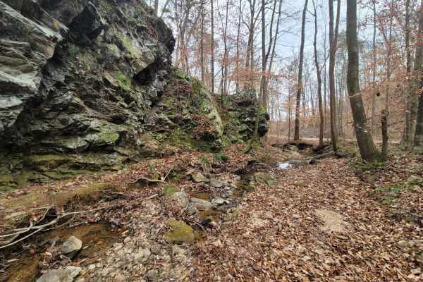
Kings Gap Mountain Road is a gorgeous historical route that cuts through the outside edge of the Dugger Mountain Wilderness Area. This trail features mines and caves, along with beautiful creek beds formed from fast mountain water run-off. The mild inclines and declines can give the average overland...
Learn more about Kings Gap Mountain Road
Hammond Gap - FSR 259
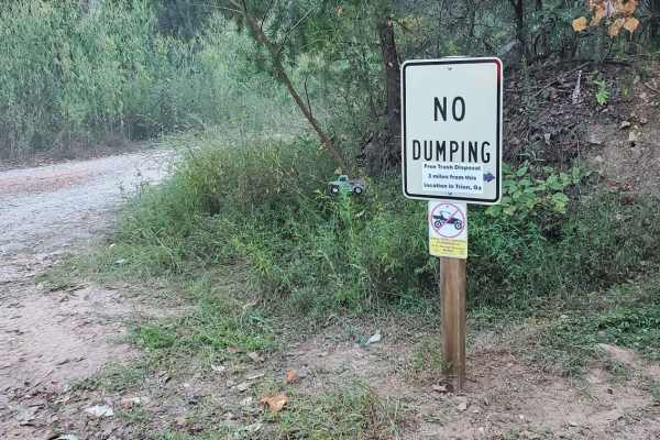
Hammond Gap - FSR 259, in the Conasauga District of the Chattahoochee-Oconee National Forest, is a nice relaxing out-and-back ride that has much to offer. From the incredible campsites, gorgeous views, hiking access, as well as some spooky relics. The majority of the forest service road is a gravel ...
Learn more about Hammond Gap - FSR 259

Hammond Gap Branch A - FS 259A
Nestled just off Hammond Gap, FS 259 lies a hidden treasure waiting to be discovered! This adventure is nothing short of magnificent, offering a scenic gravel path that promises both excitement and tranquility. As you journey along, you’ll encounter character-building washouts and playful ruts that ...
Learn more about Hammond Gap Branch A - FS 259A
Beginner ATV trails near Lakeview, Alabama
Explore ATV-friendly trails near you. These trails are accessible for vehicles up to 50 inches wide, perfect for ATVs and smaller off-road machines.
Pigeon Mountain
The trail transitions from pavement to mostly gravel and some dirt. There are no challenging obstacles and multiple possible routes within the trail system. There's an overlook at mile 3.4 (just past the paved section) and an offshoot at mile 5 that is a dead-end dirt trail. It's a bit rougher than ...
Learn more about Pigeon Mountain
12
The main connecting trail at Indian Mountain ATV park links to Trail 1 and runs uphill, passing by all the cabins. It's an easy trail suitable for any vehicle in 2WD. As you progress, you might encounter a few mud puddles in some areas. The trail accommodates two-way traffic, so be sure to watch out...
Learn more about 12
Trail 8
Trail 8 is a shortcut trail that crosses a ridge. It starts at both ends of Trail 12 and leads to the top of Kiley's Crawl and Booger Holler. You can drive it in any vehicle in 2WD. It takes you to the top of Paycheck Holler and allows two-way traffic. Watch out for riders.
Learn more about Trail 8
16
This is the main connecting trail that will take you from the dam and wind through the woods. You'll go past the entrance to Trail 6, Trail 15, and Foxes Hollow and end up at the powerlines, which is a very popular spot to hang out. The trail has a couple of small one-lane bridges to cross.
Learn more about 16
Beginner UTV/side-by-side trails near Lakeview, Alabama
Find UTV and side-by-side trails near you. These trails accommodate vehicles up to 60 inches wide, ideal for UTVs, side-by-sides, and wider off-road rigs.
Pigeon Mountain
The trail transitions from pavement to mostly gravel and some dirt. There are no challenging obstacles and multiple possible routes within the trail system. There's an overlook at mile 3.4 (just past the paved section) and an offshoot at mile 5 that is a dead-end dirt trail. It's a bit rougher than ...
Learn more about Pigeon Mountain
12
The main connecting trail at Indian Mountain ATV park links to Trail 1 and runs uphill, passing by all the cabins. It's an easy trail suitable for any vehicle in 2WD. As you progress, you might encounter a few mud puddles in some areas. The trail accommodates two-way traffic, so be sure to watch out...
Learn more about 12
Trail 8
Trail 8 is a shortcut trail that crosses a ridge. It starts at both ends of Trail 12 and leads to the top of Kiley's Crawl and Booger Holler. You can drive it in any vehicle in 2WD. It takes you to the top of Paycheck Holler and allows two-way traffic. Watch out for riders.
Learn more about Trail 8
16
This is the main connecting trail that will take you from the dam and wind through the woods. You'll go past the entrance to Trail 6, Trail 15, and Foxes Hollow and end up at the powerlines, which is a very popular spot to hang out. The trail has a couple of small one-lane bridges to cross.
Learn more about 16
The onX Offroad Difference
onX Offroad combines trail photos, descriptions, difficulty ratings, width restrictions, seasonality, and more in a user-friendly interface. Available on all devices, with offline access and full compatibility with CarPlay and Android Auto. Discover what you're missing today!
Open Trail Map