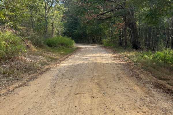
Newsome Gap

Total Miles3.2
Technical Rating
2Easy
Best TimeSpring, Summer, Fall, Winter
Trail TypeFull-Width Road
Accessible By
Open Trail Map

Trail Overview

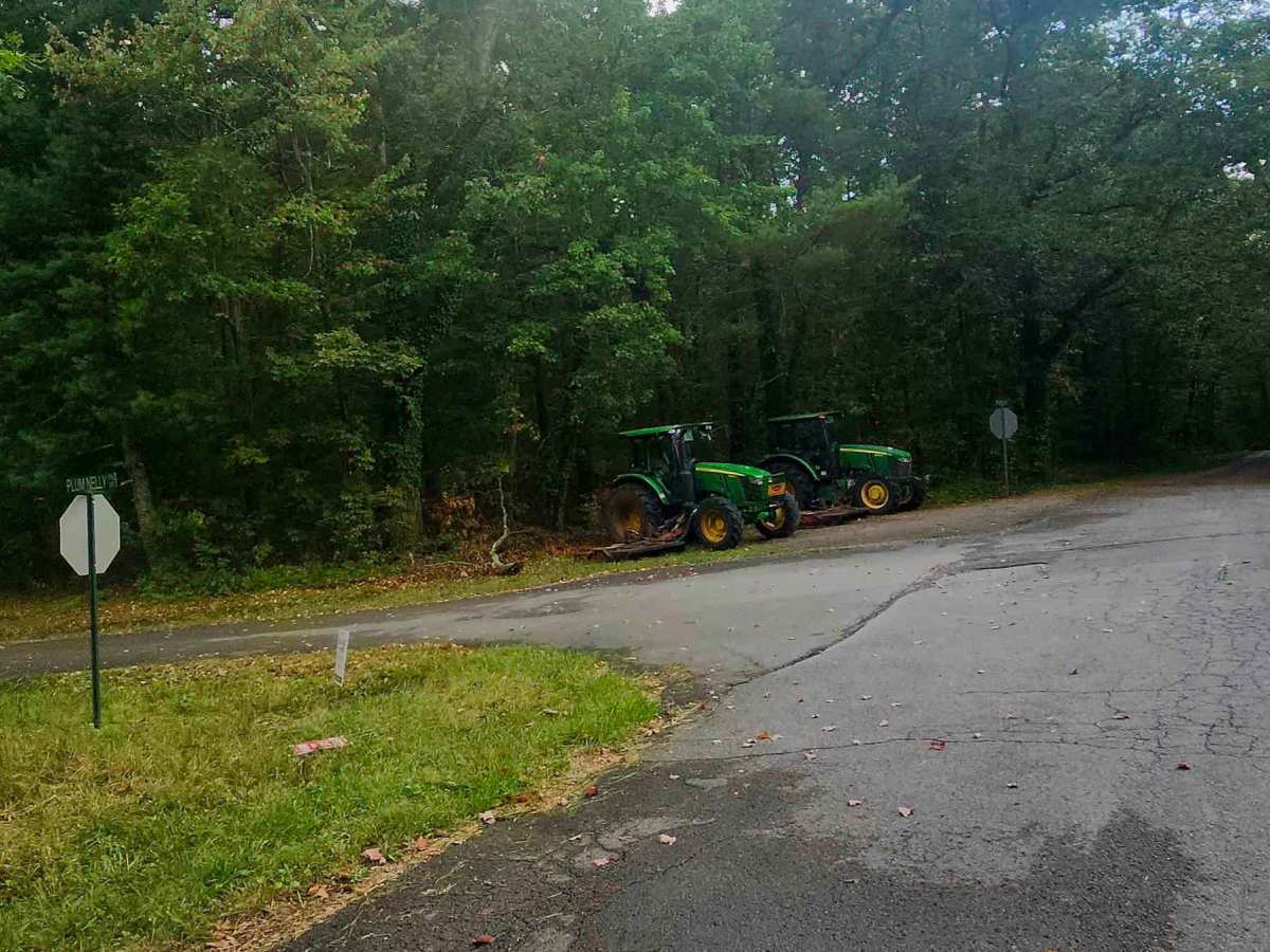
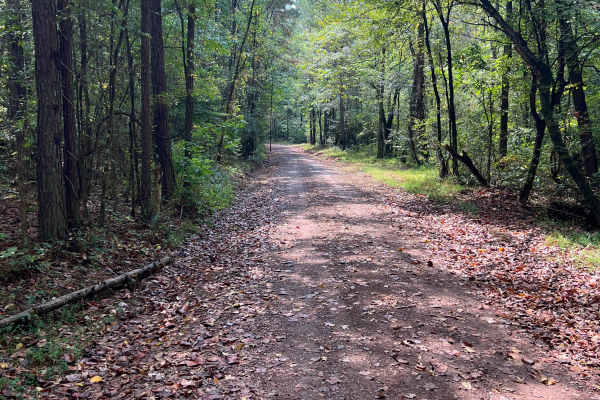
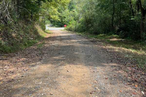
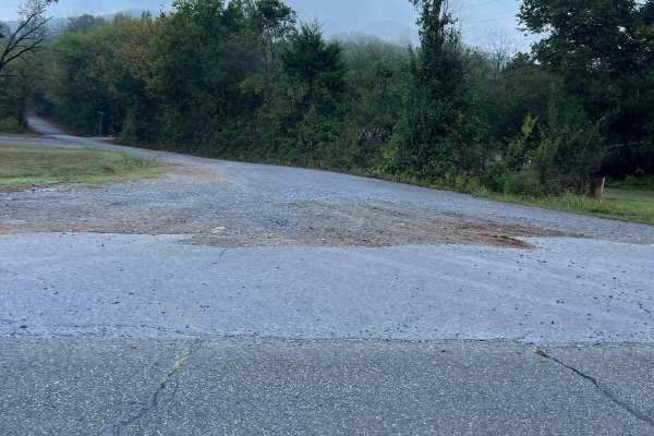
Newsome Gap Road (CR 197) is a 3.6-mile, primarily single-lane gravel-over-dirt route with occasional passing points. The scenic mountain descent winds through switchbacks and hairpin turns framed by massive rock formations and intermittent roadside water features. Minor rutting, switchback washouts, small rock gardens, and exposed rock shelves add character along the way. Although the roadway is public, much of the surrounding land is privately or government-owned, so travelers should remain on the established roadway and respect all posted property boundaries.

Photos of Newsome Gap

Difficulty

Generally accessible to most vehicle types in dry conditions. Use caution during or after wet weather, as mud, slick inclines, washouts, and stream crossings can significantly change trail conditions. Front-wheel-drive vehicles may experience traction difficulty when wet, while AWD or 4WD is better suited for changing terrain.

Technical Rating

2

Status Reports

Add Status Report
Brian Daniel
Oct 20, 2026
2016 Ford F-150
Open
NormalDusty
Very mild trail no issues whatsoever for a stock vehicle with any kind of reasonable ground clearance

Newsome Gap Trail can be accessed by the following ride types:

  • Single Track
  • High Clearance
  • Full Width

Newsome Gap Map

The onX Offroad Difference

onX Offroad combines trail photos, descriptions, difficulty ratings, width restrictions, seasonality, and more in a user-friendly interface. Available on all devices, with offline access and full compatibility with CarPlay and Android Auto. Discover what you're missing today!

Open Trail Map