
Beginner Off-Road Trails
Near Kingsland, Georgia
Explore All Beginner Trails Near Kingsland, Georgia
Beginner Off-Road Trails Near Kingsland, Georgia
Discover the best beginner-friendly off-road trails near you. These easier, lower-rated trails are a great place to start — browse trail maps, check difficulty ratings, and find your next adventure.
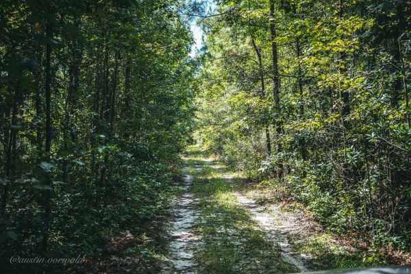
Catface Swamp Road - North
Catface Swamp Road is one of the numerous spurs located off the Four Creeks State Forest main road. It is a short and fun trail but is tight for larger vehicles. After a few days of rain, the swamp may overflow into the road making for a fun adventure. The trail is one vehicle wide and it is recomme...
Learn more about Catface Swamp Road - North
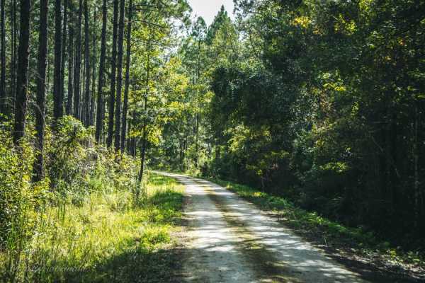
Four Creeks State Forest Main Road
The main road of Four Creeks State Forest allows access to multiple small boats and kayak launches and numerous roads to explore and is a combination of Pacetti Road and Five Mile Road. The road is easy for any vehicle to pass in the first 3.8 miles. The last 2.6 miles may have water on the road if ...
Learn more about Four Creeks State Forest Main Road
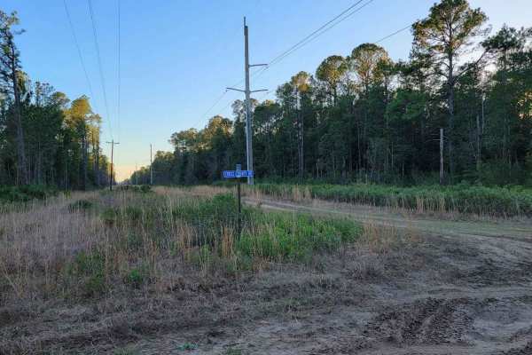
Cary State Forest - Thomas Creek Tract
The Thomas Creek Tract is one of the tracts of forest that makes up Cary State Forest. The trails through the Thomas Creek Tract are hard-packed limestone and dirt, and most passenger vehicles should have little trouble in dry weather. In wet weather, 4WD becomes necessary. The area is almost comple...
Learn more about Cary State Forest - Thomas Creek Tract
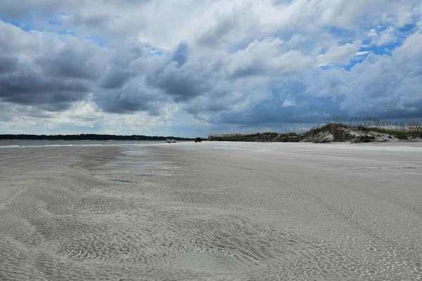
Amelia Island State Park
Amelia Island State Park offers roughly two miles of scenic beach driving, along one of Northeast Florida’s last undeveloped shorelines. The route takes you both along the beach and through marked paths in the dunes. Sand is firm at low tide but soft near the dunes. The tide can rise quickly; be sur...
Learn more about Amelia Island State Park
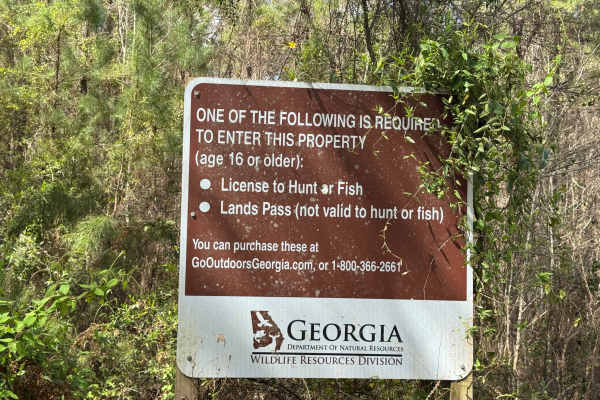
Blount's Crossing
Blount's Crossing trail continues south from the west end of Main Road and is one of the four entry points into Paulks Pasture at its southern end, where it intersects with Highway 32. From Highway 32, the trail crosses a set of railroad tracks and a shallow creek, Little Buffalo Creek. The trail is...
Learn more about Blount's Crossing
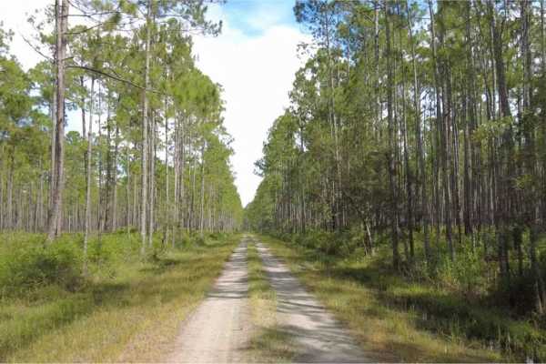
Cary State Forest - Cary Tract
The Cary Tract is one of the tracts of forest that makes up the Cary State Forest. The trail begins as hard-packed limestone before eventually transitioning to dirt. The trails are not challenging, and most passenger vehicles can navigate them without issue. There is a campground in the forest, alon...
Learn more about Cary State Forest - Cary Tract
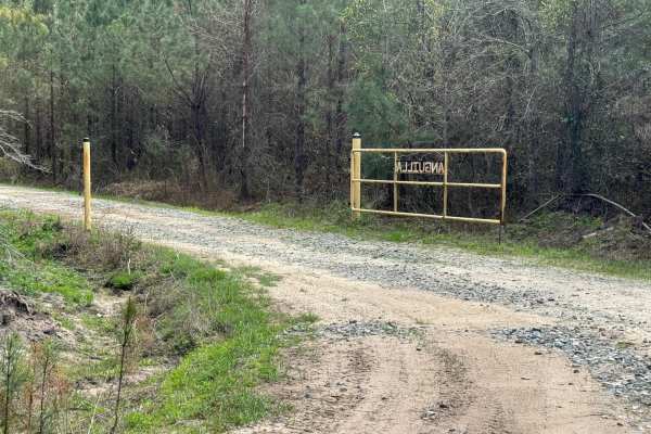
Bay Road
The Bay Road trail is one of the trails fully within the Paulk's Pasture WMA. It is an out-and-back trail, but in combination with Gibson Island Road and the Gibson/Bay Connector trail, it provides a long winding loop through the southwestern section of the WMA. The trail surface is packed dirt with...
Learn more about Bay Road
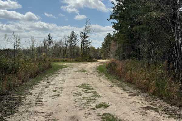
Gibson/Bay Connector
The Gibson/Bay Connector trail provides a short bridge between the ends of the Bay Road trail and the Gibson Island Road trail. The eastern side of the trail borders private property, so please respect the owners even if gates along the eastern side are open. The trail surface is primarily packed di...
Learn more about Gibson/Bay Connector
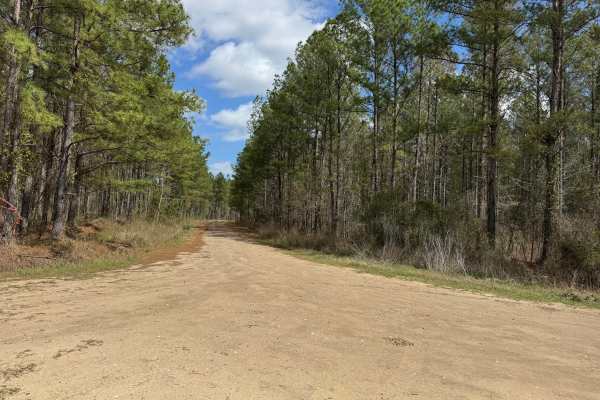
Gibson Island Road
Gibson Island Road trail is one of the trails fully within the Paulk's Pasture WMA. It is an out-and-back trail, but in combination with Bay Road trail and the Gibson/Bay Connector trail provides a long winding loop through the southwestern section of the WMA. The trail surface is packed dirt that c...
Learn more about Gibson Island Road
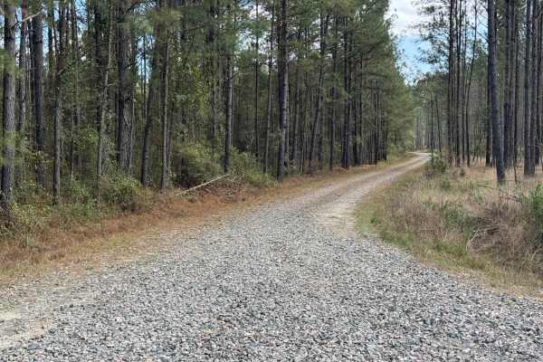
South End Road
South End Road is one of the entry/exit roads from Paulk's Pasture WMA, but it is a bit hard to find from the outside since it begins in the back of a local neighborhood. From the interior, it starts along the eastern end of Main Road Trail as a heavily graveled single lane with space to pass along ...
Learn more about South End Road
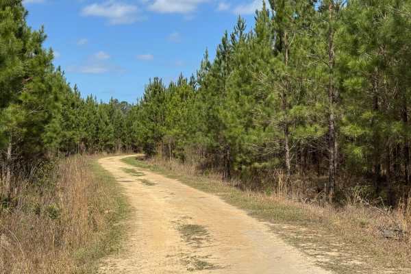
Dubignon Hammock Road
Dubignon Hammock Road trail is a loop trail along the western end of the Main Road trail. The eastern entrance to the loop is packed sand and grass with a firm surface and few potholes and ruts. The back side and west end have been rutted out by logging activities and tend to hold water, making driv...
Learn more about Dubignon Hammock Road
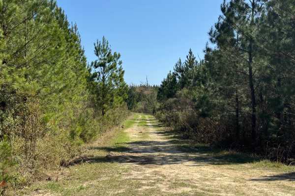
Lomo Field Road
Lomo Field Road trail is a loop trail that begins and ends along Belle Vista Road trail. The trail bed consists of packed dirt and grass with a few small potholes that tend to hold water during wet weather. The trail should be rideable in most 2WD vehicles. Lomo Field Road trail is a single vehicle ...
Learn more about Lomo Field Road
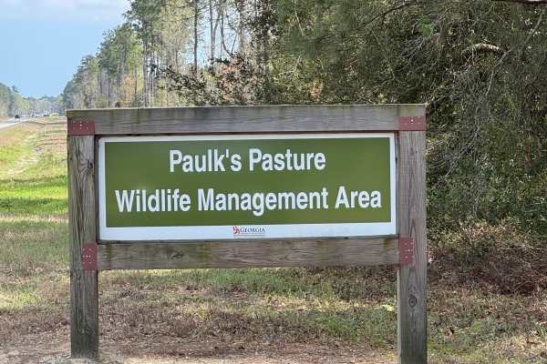
Main Road
Main Road is the formal entrance into the Paulk's Pasture WMA with a game check station and planted dove field. The connection to Highway 25 has a tall radio tower, making it easy to spot from the highway. The road splits early, so stay to the left going in to stay on Main Road. The surface is prima...
Learn more about Main Road
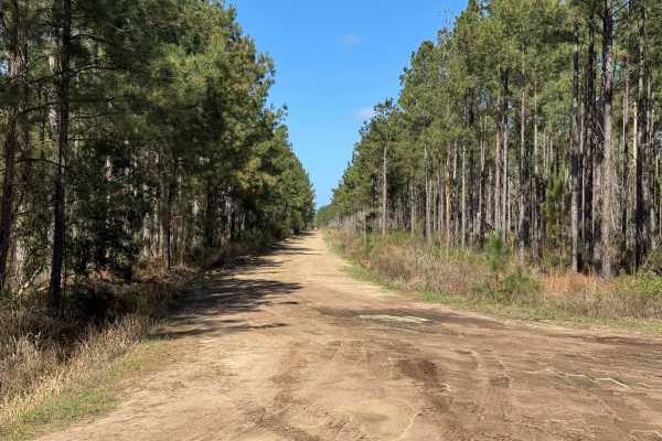
Smith Hammock Road
Smith Hammock Road trail is a long loop trail that has one end along Belle Vista Road trail and the other end along Main Road trail. The trail surface is primarily packed dirt with some small potholes and some shallow ruts from logging truck activity. Wet weather can make parts of the trail soft and...
Learn more about Smith Hammock Road
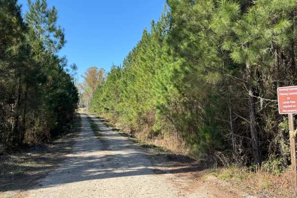
Belle Vista Road
Belle Vista Road trail is one of the four trails that connect to areas outside the WMA, and one of two that provide WMA access from US Highway 25. It travels along an active Loblolly Pine cultivation and harvesting area, so logging trucks can be encountered. The trail bed surface consists of packed ...
Learn more about Belle Vista Road
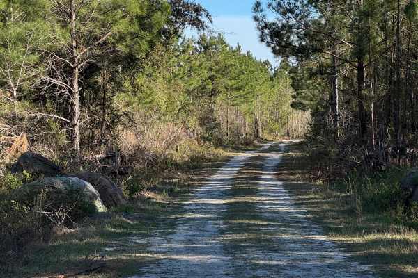
Strut Road
Strut Road is a gentle single vehicle-wide trail with a few shallow water crossings and a mudhole or two that can add some challenge during wet weather. There is one soft sand section near Rump Road that deserves attention to keep moving. The trail starts along the western end of Rump Road and conn...
Learn more about Strut Road
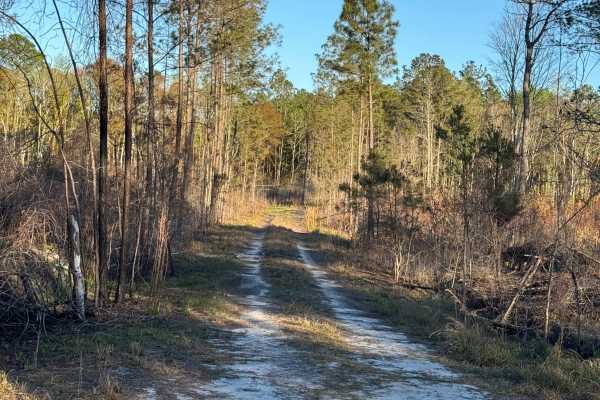
Rump Road
Rump Road trail is the main entry point to the southeastern section of the Sansavilla Wildlife Management Area. It also provides access to most of the other trails in this section. It is primarily a packed sand and dirt surface, so it is easily driven with most any motorized vehicle. Be cautious, h...
Learn more about Rump Road
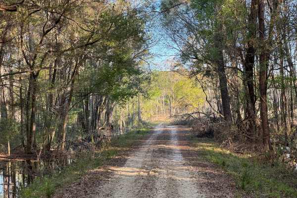
Flowing Well Road
Flowing Well Road used to terminate at both ends into Lyles Old Field Road. However, a large swampy area near its southeastern end proved difficult to maintain safe passage, so the trail was split, with this part being the major section. The shorter section originates along Lyle's Old Field road but...
Learn more about Flowing Well Road
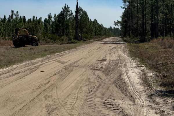
Sansavilla Road
Nice smooth dirt road through the heart of the Sansavilla Wildlife Management Area. This road is plenty wide enough for two vehicles and smooth enough for just about any vehicle to complete. The far end of the road terminates at the Altamaha River bank at a great overlook where you can take in the v...
Learn more about Sansavilla Road
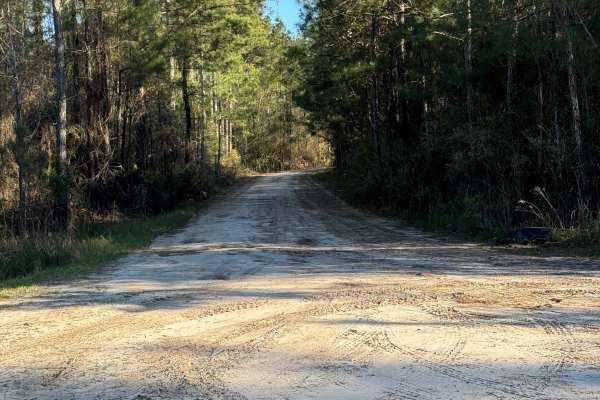
Lyles Old Field
Lyles Old Field trail begins along Rump Road at its western end and runs southeast. The trail consists of packed sand and grass, so it is an easy trail to drive, even in a two-wheel drive vehicle. It passes primarily through pine thickets and tall grassy areas. Lyles Old Field is a popular bird-watc...
Learn more about Lyles Old Field
Beginner ATV trails near Kingsland, Georgia
Explore ATV-friendly trails near you. These trails are accessible for vehicles up to 50 inches wide, perfect for ATVs and smaller off-road machines.

East Tower - Osceola NF 202
The East Tower Trail, also known as Osceola National Forest Road 202, connects CR 250 at the west end and CR 125 at the east end. It takes you through the Osceola National Forest from west to east and gives you access to the East Tower Camp, a primitive hunting camp. The road conditions are a mixtur...
Learn more about East Tower - Osceola NF 202

Natural Area - Osceola NF 277
The Natural Area Trail, also known as Osceola National Forest Road 277, connects Cobb's Place Trail at the west end and CR 250 at the east end. It takes you through the Osceola National Forest from west to east and gives you access to the Natural Area Wilderness Study Area. The road conditions are a...
Learn more about Natural Area - Osceola NF 277
Skeleton Key Road
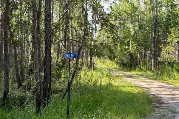
Skeleton Key Road is a relaxed forest drive with one surprise waiting at the end — a soft sugar-sand circle that feels like nature’s own roundabout. Skeleton Key Road shares the same sand-and-gravel base as nearby Three Bridges Road and Countyline Road, but adds a distinct twist at its end: a wide l...
Learn more about Skeleton Key Road
Countyline Road
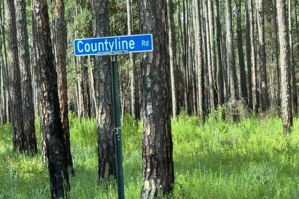
Countyline Road is a peaceful sand-and-gravel stretch that rewards you with tree-lined views and quiet forest vibes — perfect for unwinding after the ride in. Countyline Road offers a relaxed drive through dense rows of trees, with the same sandy and gravel mix common to the area. It’s an approachab...
Learn more about Countyline Road
Beginner UTV/side-by-side trails near Kingsland, Georgia
Find UTV and side-by-side trails near you. These trails accommodate vehicles up to 60 inches wide, ideal for UTVs, side-by-sides, and wider off-road rigs.
East Tower - Osceola NF 202
The East Tower Trail, also known as Osceola National Forest Road 202, connects CR 250 at the west end and CR 125 at the east end. It takes you through the Osceola National Forest from west to east and gives you access to the East Tower Camp, a primitive hunting camp. The road conditions are a mixtur...
Learn more about East Tower - Osceola NF 202
Natural Area - Osceola NF 277
The Natural Area Trail, also known as Osceola National Forest Road 277, connects Cobb's Place Trail at the west end and CR 250 at the east end. It takes you through the Osceola National Forest from west to east and gives you access to the Natural Area Wilderness Study Area. The road conditions are a...
Learn more about Natural Area - Osceola NF 277
Skeleton Key Road
Skeleton Key Road is a relaxed forest drive with one surprise waiting at the end — a soft sugar-sand circle that feels like nature’s own roundabout. Skeleton Key Road shares the same sand-and-gravel base as nearby Three Bridges Road and Countyline Road, but adds a distinct twist at its end: a wide l...
Learn more about Skeleton Key Road
Countyline Road
Countyline Road is a peaceful sand-and-gravel stretch that rewards you with tree-lined views and quiet forest vibes — perfect for unwinding after the ride in. Countyline Road offers a relaxed drive through dense rows of trees, with the same sandy and gravel mix common to the area. It’s an approachab...
Learn more about Countyline Road
The onX Offroad Difference
onX Offroad combines trail photos, descriptions, difficulty ratings, width restrictions, seasonality, and more in a user-friendly interface. Available on all devices, with offline access and full compatibility with CarPlay and Android Auto. Discover what you're missing today!
Open Trail Map