
Beginner Off-Road Trails
Near Folkston, Georgia
Explore All Beginner Trails Near Folkston, Georgia
Beginner Off-Road Trails Near Folkston, Georgia
Discover the best beginner-friendly off-road trails near you. These easier, lower-rated trails are a great place to start — browse trail maps, check difficulty ratings, and find your next adventure.
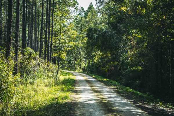
Four Creeks State Forest Main Road
The main road of Four Creeks State Forest allows access to multiple small boats and kayak launches and numerous roads to explore and is a combination of Pacetti Road and Five Mile Road. The road is easy for any vehicle to pass in the first 3.8 miles. The last 2.6 miles may have water on the road if ...
Learn more about Four Creeks State Forest Main Road
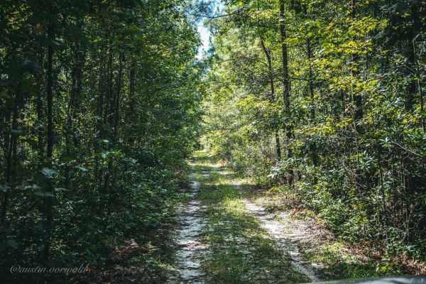
Catface Swamp Road - North
Catface Swamp Road is one of the numerous spurs located off the Four Creeks State Forest main road. It is a short and fun trail but is tight for larger vehicles. After a few days of rain, the swamp may overflow into the road making for a fun adventure. The trail is one vehicle wide and it is recomme...
Learn more about Catface Swamp Road - North
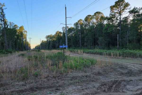
Cary State Forest - Thomas Creek Tract
The Thomas Creek Tract is one of the tracts of forest that makes up Cary State Forest. The trails through the Thomas Creek Tract are hard-packed limestone and dirt, and most passenger vehicles should have little trouble in dry weather. In wet weather, 4WD becomes necessary. The area is almost comple...
Learn more about Cary State Forest - Thomas Creek Tract
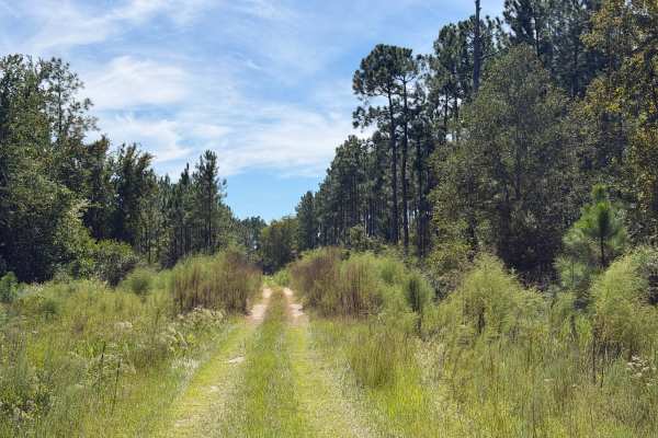
FR 12
This trail is located within the John M. Bethea State Forest and is part of the Osceola Wildlife Management Area (WMA), which comprises this State Forest and the abutting National Forest (NF). The trail is open to public access year-round unless otherwise posted. Vehicle access rules vary between t...
Learn more about FR 12
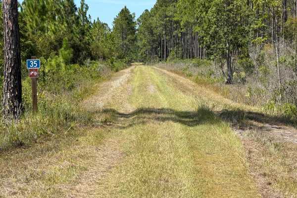
FR 35
This trail is located within the John M. Bethea State Forest and is part of the Osceola Wildlife Management Area (WMA), which comprises this State Forest and the abutting National Forest (NF). The trail is open to public access year-round unless otherwise posted. Vehicle access rules vary between t...
Learn more about FR 35
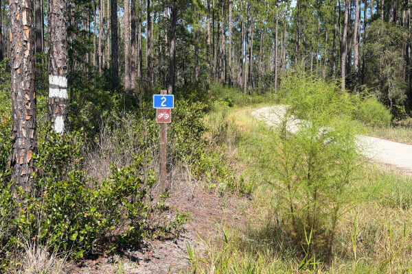
FR 2
This trail is located within the John M. Bethea State Forest and is part of the Osceola Wildlife Management Area (WMA), which comprises this State Forest and the abutting National Forest (NF). The trail is open to public access year-round unless otherwise posted. Vehicle access rules vary between t...
Learn more about FR 2
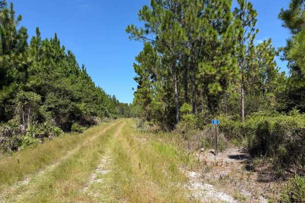
FR 11
This trail is located within the John M. Bethea State Forest and is part of the Osceola Wildlife Management Area (WMA), which comprises this State Forest and the abutting National Forest (NF). The trail is open to public access year-round unless otherwise posted. Vehicle access rules vary between t...
Learn more about FR 11
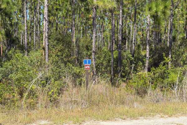
FR 1
This trail is located within the John M. Bethea State Forest and is part of the Osceola Wildlife Management Area (WMA), which comprises this State Forest and the abutting National Forest (NF). The trail is open to public access year-round unless otherwise posted. Vehicle access rules vary between t...
Learn more about FR 1
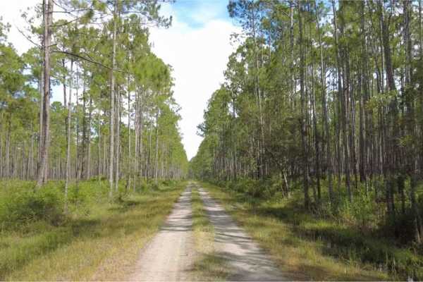
Cary State Forest - Cary Tract
The Cary Tract is one of the tracts of forest that makes up the Cary State Forest. The trail begins as hard-packed limestone before eventually transitioning to dirt. The trails are not challenging, and most passenger vehicles can navigate them without issue. There is a campground in the forest, alon...
Learn more about Cary State Forest - Cary Tract

Camp Island - FS 224
Camp Island, also known as Osceola National Forest Road 224, is a loop trail that starts and ends at Sandhill Grade. It takes you through the northern part of the Osceola National Forest and gives you access to the Negro Camp Island district. The road conditions are a mixture of packed sand, loose s...
Learn more about Camp Island - FS 224
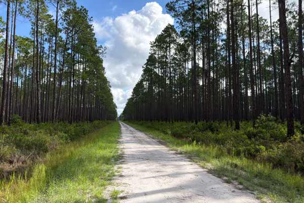
Cattail - FS 201
Cattail, also known as Osceola National Forest Road 201, connects Ocean Bay at the west end and SR-250 at the east end. It takes you through the north part of the Osceola National Forest and gives you access to the Cattail Bay district with several off-road trails. The road conditions are a mixture ...
Learn more about Cattail - FS 201
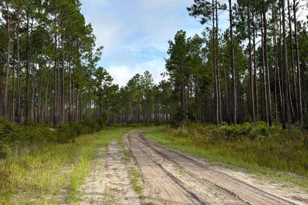
Cobb‘s Place - FS 235
Cobb‘s Place, also known as Osceola National Forest Road 235, connects The Swamp Thing at the south end and Sandhill Grade at the north end. It takes you through the north part of the Osceola National Forest and gives you access to several off-road trails in the area. The road conditions are a mixtu...
Learn more about Cobb‘s Place - FS 235
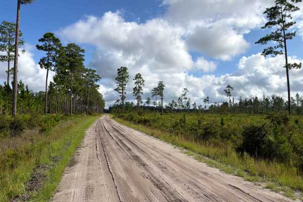
Ocean Bay - FS 255
Ocean Bay, also known as Osceola National Forest Road 255, connects Middle Prong at the south end and Sandhill Grade at the north end. It takes you through the northern part of the Osceola National Forest and gives you access to the Ocean Bay district. The road conditions are a mixture of packed san...
Learn more about Ocean Bay - FS 255

East Tower - Osceola NF 202
The East Tower Trail, also known as Osceola National Forest Road 202, connects CR 250 at the west end and CR 125 at the east end. It takes you through the Osceola National Forest from west to east and gives you access to the East Tower Camp, a primitive hunting camp. The road conditions are a mixtur...
Learn more about East Tower - Osceola NF 202

Little Bear Bay - FS 221
Little Bear Bay, also known as Osceola National Forest Road 221, connects The Swamp Thing at the south end and Sandhill Grade at the north end. It takes you through the northern part of the Osceola National Forest and gives you access to the Little Bear Bay district. The road conditions are a mixtur...
Learn more about Little Bear Bay - FS 221

Natural Area - Osceola NF 277
The Natural Area Trail, also known as Osceola National Forest Road 277, connects Cobb's Place Trail at the west end and CR 250 at the east end. It takes you through the Osceola National Forest from west to east and gives you access to the Natural Area Wilderness Study Area. The road conditions are a...
Learn more about Natural Area - Osceola NF 277
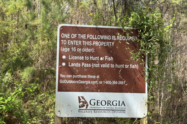
Blount's Crossing
Blount's Crossing trail continues south from the west end of Main Road and is one of the four entry points into Paulks Pasture at its southern end, where it intersects with Highway 32. From Highway 32, the trail crosses a set of railroad tracks and a shallow creek, Little Buffalo Creek. The trail is...
Learn more about Blount's Crossing
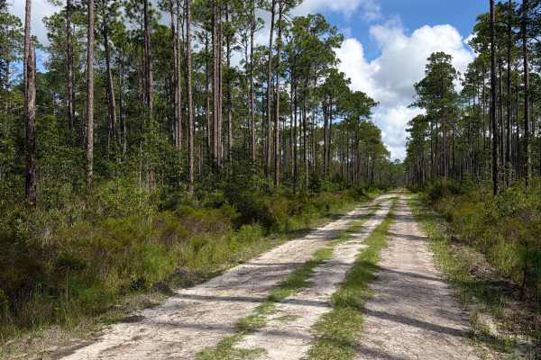
Fraser - FS 204
Fraser, also known as Osceola National Forest Road 204, connects Kenny at the south end and East Tower at the north end. It takes you through the northern part of the Osceola National Forest and gives you access to the Bill Branch district and a few off-road trails. The road conditions are a mixture...
Learn more about Fraser - FS 204
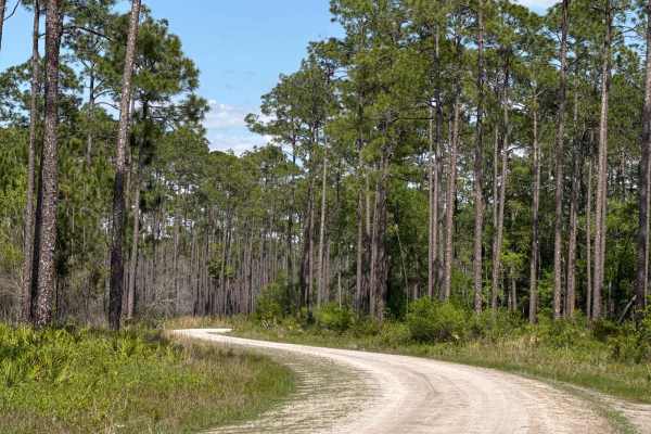
Middle Prong - Osceola NF 232
The Middle Prong Trail, also known as Osceola National Forest Road 232, connects The Swamp Thing and Cobb's Place Trail at the west end and CR 250 at the east end. It takes you through the Osceola National Forest from west to east and gives you access to the Natural Area Wilderness Study Area. The r...
Learn more about Middle Prong - Osceola NF 232
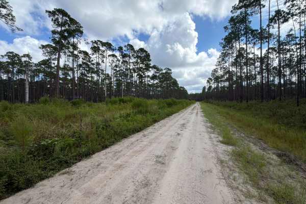
Kenny - FS 231
Kenny, also known as Osceola National Forest Road 231, connects SR-229 at the west end and SR-127 at the east end. It takes you through the north part of the Osceola National Forest and gives you access to the Bill Branch district and several off-road trails. The road conditions are a mixture of pac...
Learn more about Kenny - FS 231
Beginner ATV trails near Folkston, Georgia
Explore ATV-friendly trails near you. These trails are accessible for vehicles up to 50 inches wide, perfect for ATVs and smaller off-road machines.
Camp Island - FS 224
Camp Island, also known as Osceola National Forest Road 224, is a loop trail that starts and ends at Sandhill Grade. It takes you through the northern part of the Osceola National Forest and gives you access to the Negro Camp Island district. The road conditions are a mixture of packed sand, loose s...
Learn more about Camp Island - FS 224
Cattail - FS 201
Cattail, also known as Osceola National Forest Road 201, connects Ocean Bay at the west end and SR-250 at the east end. It takes you through the north part of the Osceola National Forest and gives you access to the Cattail Bay district with several off-road trails. The road conditions are a mixture ...
Learn more about Cattail - FS 201
Cobb‘s Place - FS 235
Cobb‘s Place, also known as Osceola National Forest Road 235, connects The Swamp Thing at the south end and Sandhill Grade at the north end. It takes you through the north part of the Osceola National Forest and gives you access to several off-road trails in the area. The road conditions are a mixtu...
Learn more about Cobb‘s Place - FS 235
Ocean Bay - FS 255
Ocean Bay, also known as Osceola National Forest Road 255, connects Middle Prong at the south end and Sandhill Grade at the north end. It takes you through the northern part of the Osceola National Forest and gives you access to the Ocean Bay district. The road conditions are a mixture of packed san...
Learn more about Ocean Bay - FS 255
Beginner UTV/side-by-side trails near Folkston, Georgia
Find UTV and side-by-side trails near you. These trails accommodate vehicles up to 60 inches wide, ideal for UTVs, side-by-sides, and wider off-road rigs.
Camp Island - FS 224
Camp Island, also known as Osceola National Forest Road 224, is a loop trail that starts and ends at Sandhill Grade. It takes you through the northern part of the Osceola National Forest and gives you access to the Negro Camp Island district. The road conditions are a mixture of packed sand, loose s...
Learn more about Camp Island - FS 224
Cattail - FS 201
Cattail, also known as Osceola National Forest Road 201, connects Ocean Bay at the west end and SR-250 at the east end. It takes you through the north part of the Osceola National Forest and gives you access to the Cattail Bay district with several off-road trails. The road conditions are a mixture ...
Learn more about Cattail - FS 201
Cobb‘s Place - FS 235
Cobb‘s Place, also known as Osceola National Forest Road 235, connects The Swamp Thing at the south end and Sandhill Grade at the north end. It takes you through the north part of the Osceola National Forest and gives you access to several off-road trails in the area. The road conditions are a mixtu...
Learn more about Cobb‘s Place - FS 235
Ocean Bay - FS 255
Ocean Bay, also known as Osceola National Forest Road 255, connects Middle Prong at the south end and Sandhill Grade at the north end. It takes you through the northern part of the Osceola National Forest and gives you access to the Ocean Bay district. The road conditions are a mixture of packed san...
Learn more about Ocean Bay - FS 255
The onX Offroad Difference
onX Offroad combines trail photos, descriptions, difficulty ratings, width restrictions, seasonality, and more in a user-friendly interface. Available on all devices, with offline access and full compatibility with CarPlay and Android Auto. Discover what you're missing today!
Open Trail Map