Trail Overview
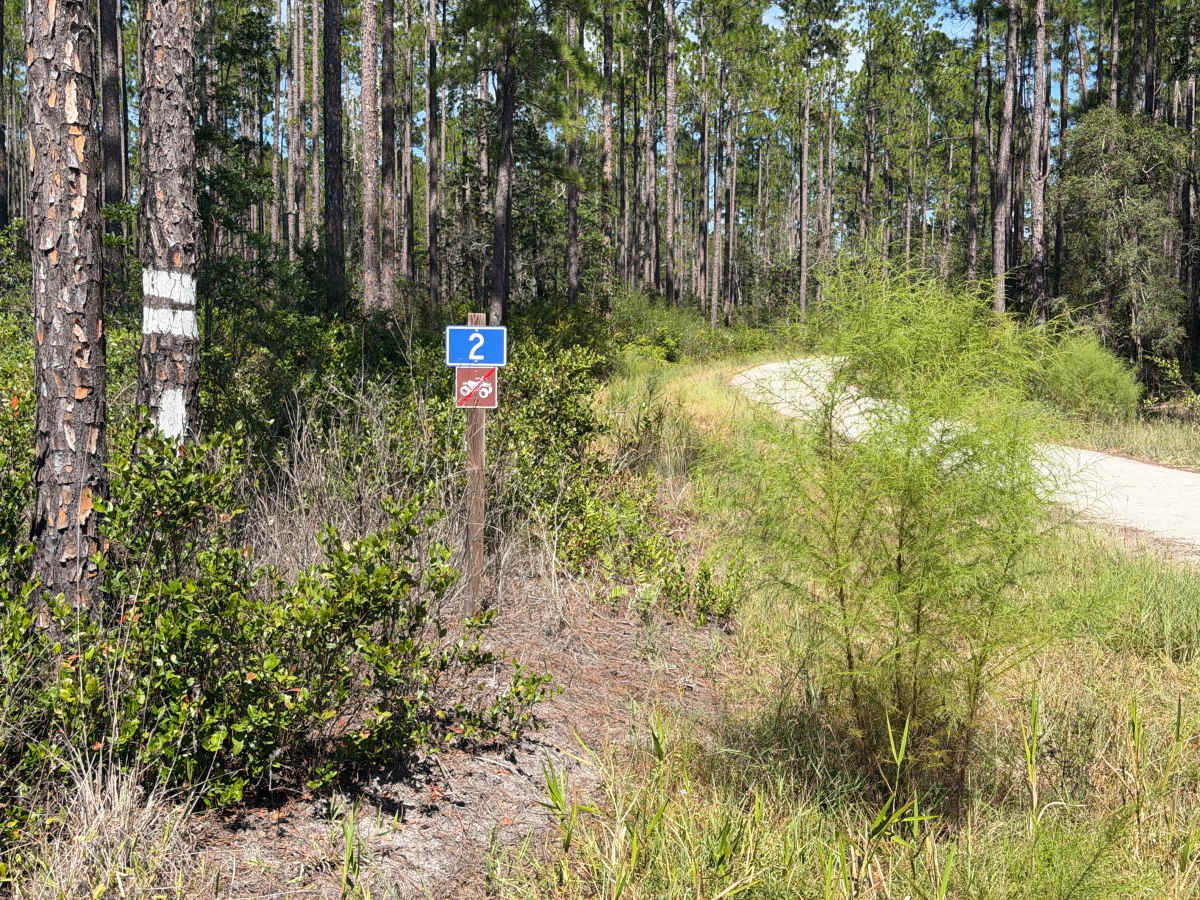
This trail is located within the John M. Bethea State Forest and is part of the Osceola Wildlife Management Area (WMA), which comprises this State Forest and the abutting National Forest (NF). The trail is open to public access year-round unless otherwise posted. Vehicle access rules vary between the National Forest and the State Forest. This trail is open only to registered highway legal motor vehicles. All-terrain vehicles (ATV’s), off-highway vehicles (OHV’s), side-by-sides (SxS), and unlicensed/unregistered motorcycles or vehicles are prohibited. There are no fees or permits required to access or use the trails.
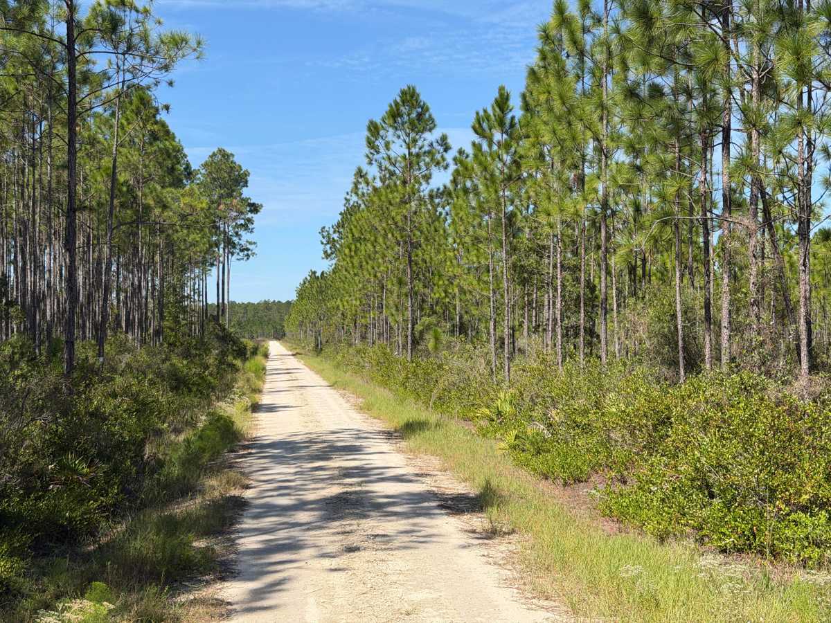
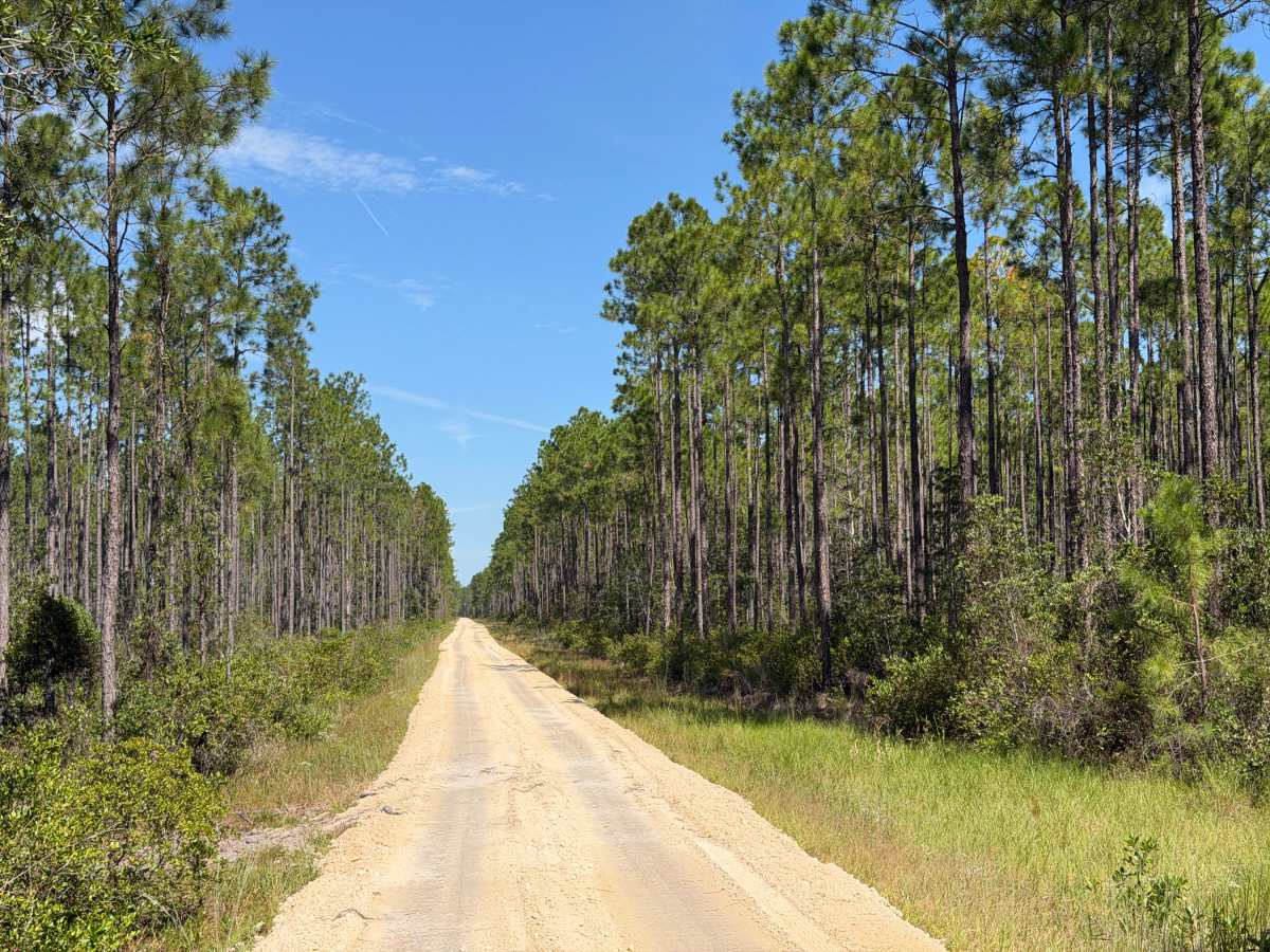
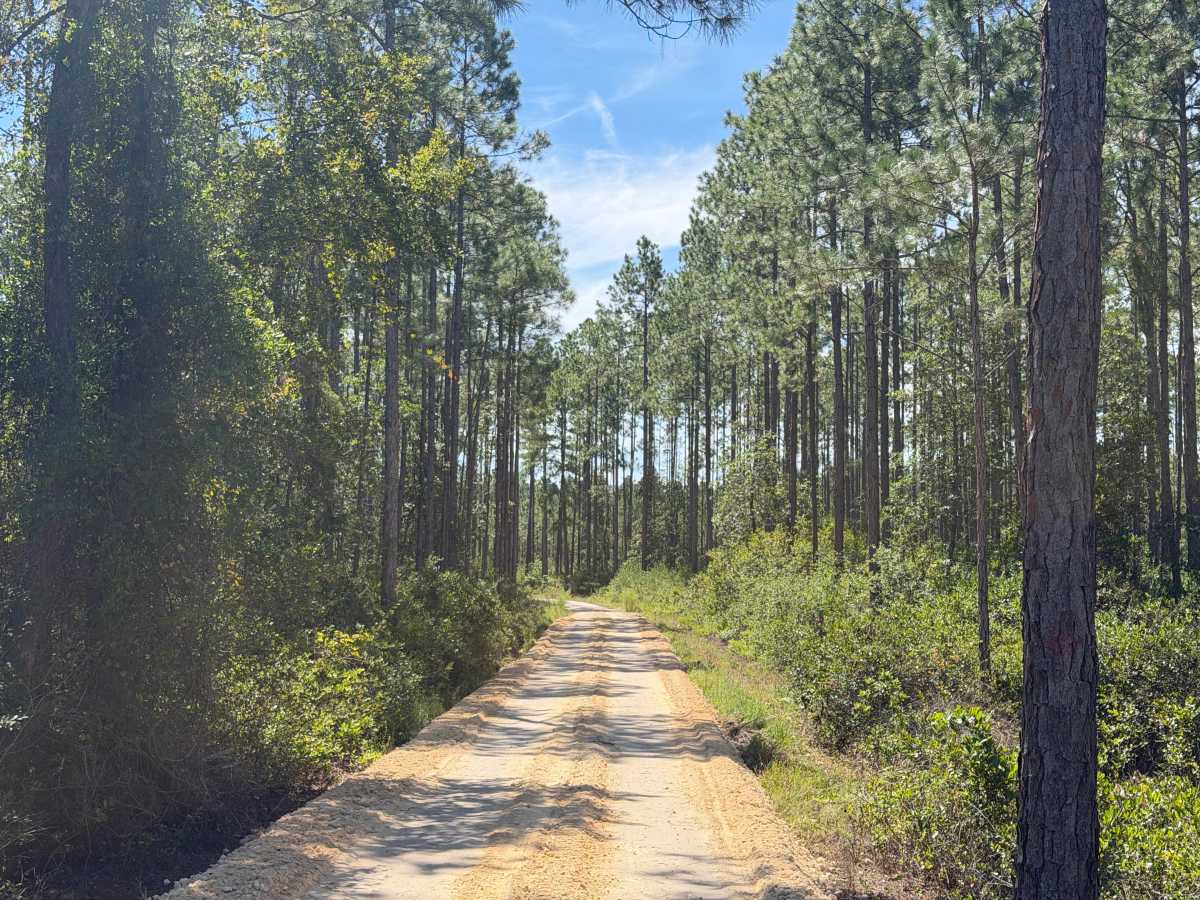
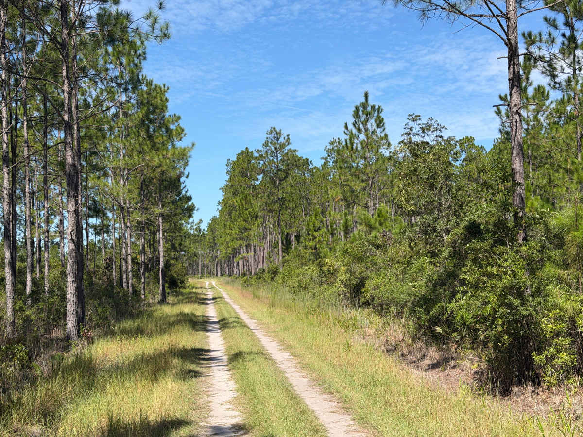
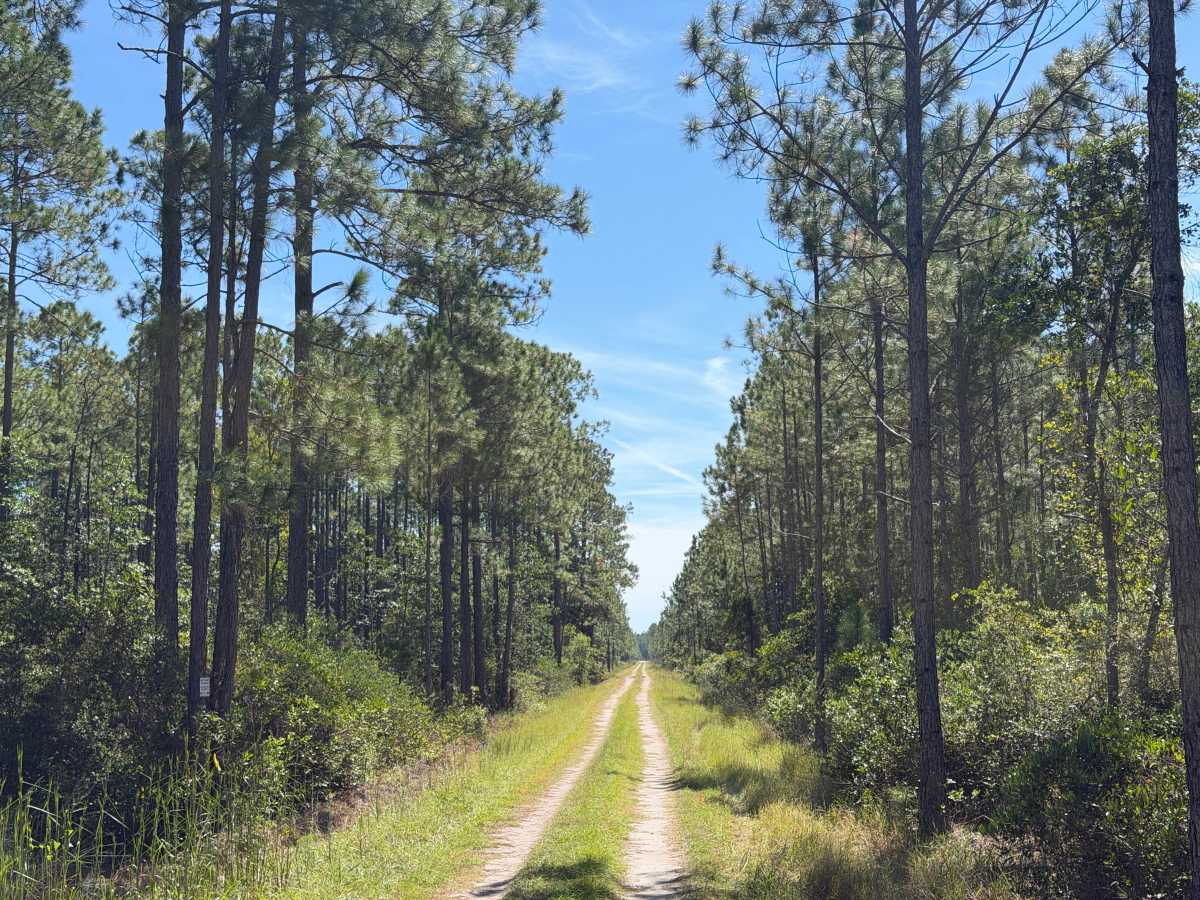
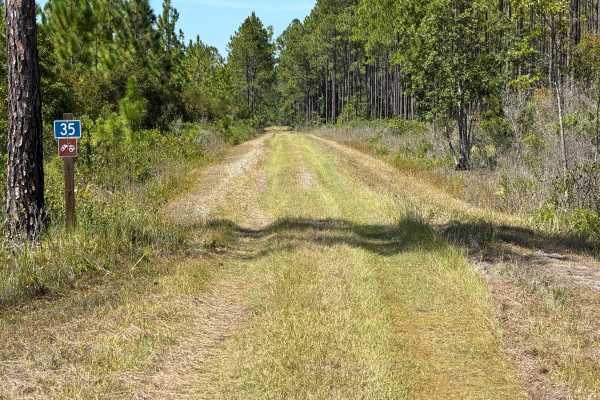
The trailhead is located off Baxter Grade at the north or Wint Rewis Road to the south. It can also be accessed via one of the internal network trails. This trail is an internal connector trail or can be an outback trail. The trail is considered an improved trail. Currently, the Forestry Department is undergoing a trail improvement project on this trail. At times, there may be segments closed or inaccessible while crews are working. The improvements include overlaying the existing dirt trail with a thick lift of compacted base rock. Thus elevating the trail. These improvements will also include installation of surface water conveyance to allow the water to drain from one side of the trail to the other, minimizing areas of wash or flooding. In the newly improved areas there is about a 24-inch drop-off on the edge of the trail. The trail is mostly a single-vehicle width; therefore, at the current time, pulling off to allow passing would require high clearance and 4WD to reenter the trail.
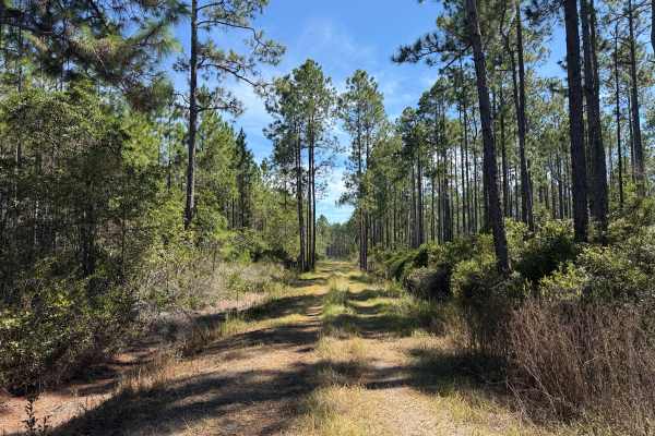
Overall, the trail is not difficult or technical. It currently has some segments that are still natural dirt, but will eventually all be compacted rock. The trail leads to some scenic overlooks of natural rock formations and a trailside water area fit for fishing and picnicking.
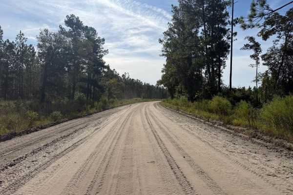
While this trail is not difficult and could be traversed with a 2WD vehicle, getting here may be a challenge without having a high-clearance 4WD. Some of the conditions of the connecting trails are more difficult and technical, especially during or following rain or storm events.
The Department of Forestry (DNF) cautions on their website and published maps that the designation of a road or trail should not be interpreted as the trail is passable, actively maintained, or safe for travel. The same should be considered if it is shown as improved. Listed as improved does not necessitate that the trail is regularly maintained.
The remoteness of this area significantly limits cellular coverage. Recommend having backup navigation and communication means. Having maps offline is a must. Also would recommend paper maps or having backup GPS. Additionally with the remoteness, ensure to be equipped for self-recovery or off-road tire/vehicle repairs. There are numerous locations on trails leading out to this trail where there is evidence of vehicles getting unexpectedly trapped in sand or mud.
Difficulty
Dirt and rock trail, typically unmaintained after rain or storm event. May encounter shallow water crossings and obstacles less than 12 inches, including small ledges. Trails are typically one to two vehicles wide.

 Offroad