
Beginner Off-Road Trails
Near Johnson, Arkansas
Explore All Beginner Trails Near Johnson, Arkansas
Beginner Off-Road Trails Near Johnson, Arkansas
Discover the best beginner-friendly off-road trails near you. These easier, lower-rated trails are a great place to start — browse trail maps, check difficulty ratings, and find your next adventure.
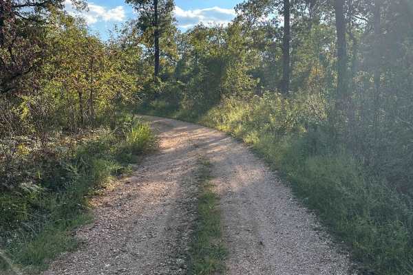
Twin Knobs
The Twin Knobs Trail offers a scenic out-and-back route that showcases the natural beauty of the Ozarks. Starting as a well-maintained gravel road, the trail gradually transitions to a rock and clay-based surface as you travel from west to east. While the trail isn’t particularly technical, it provi...
Learn more about Twin Knobs
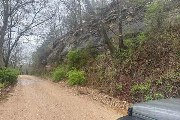
Bluff Run
Bluff Run gets its name from the countless beautiful bluffs, rock faces, and rock formations you will see along the way. This trail is part of the Green Country Oklahoma Adventure Tour (GOAT), which comprises mainly dirt roads with short bits of connecting pavement where necessary. This is an easy r...
Learn more about Bluff Run
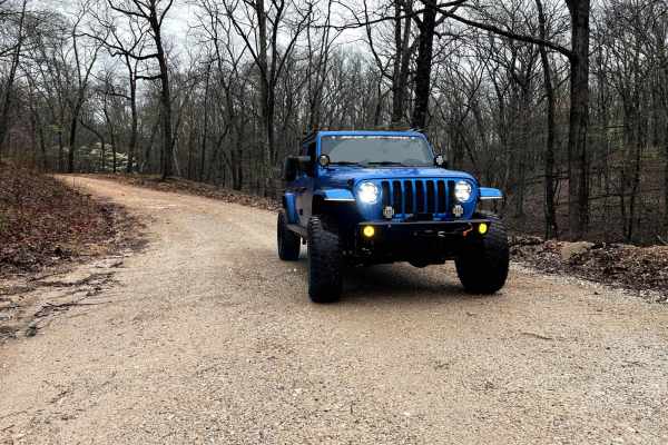
North Old Wire Road
The route is approx 2.4 miles, which is one way of easy, well-maintained gravel roads. The route travels north to south along the far east side of the Pea Ridge National Military Park and can be driven in either direction If you are traveling south to north. It begins at N. Old Wire Rd and Alvin Se...
Learn more about North Old Wire Road
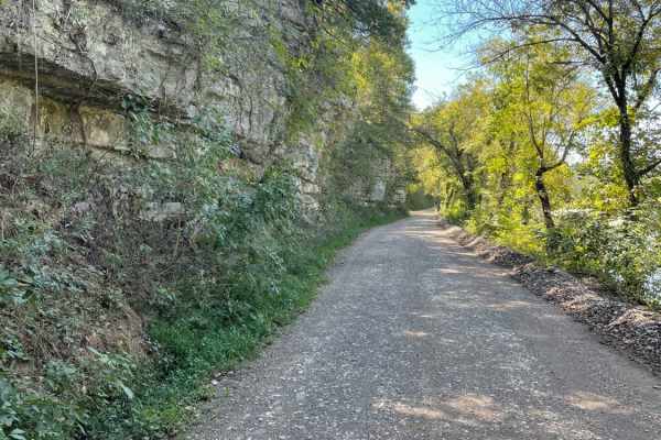
Tsalagi Trail East
The Tsalagi Trail East offers a scenic and leisurely expedition through the historic eastern reaches of the Cherokee Nation, making it perfect for beginners, families, and overland enthusiasts seeking a relaxed day on the trail. Spanning approximately 55 miles of unpaved county roads, this route win...
Learn more about Tsalagi Trail East
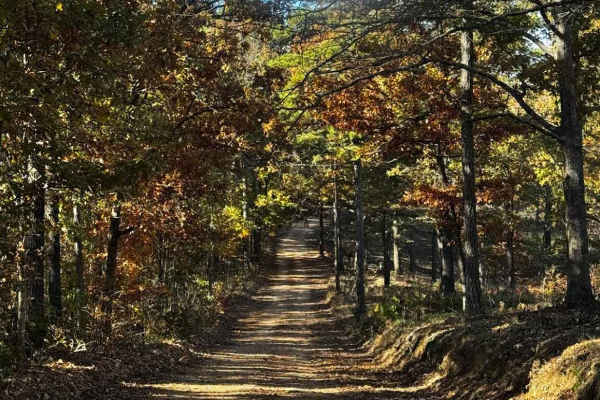
WMA Road 9
This route has some sharper turns, but it is overall a really fun trail. Great views overlooking a valley. Smaller cars would struggle on some portions of this trail, but a stock 4Runner or similar vehicle would have no problem. Pay attention to the property lines, as this trail runs adjacent to pri...
Learn more about WMA Road 9
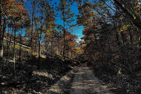
WMA Road 1245
After the entrance, the road opens into a well-maintained gravel drive with plenty of tree coverage and few obstacles in the first half. Beyond the turnoff for WMA Road 9, the terrain becomes slightly more challenging, featuring two small water crossings and a few steeper grades. Cell service is int...
Learn more about WMA Road 1245
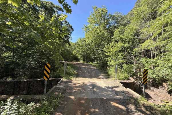
Cove Creek Crossing
Cove Creek Crossing is a scenic forest route that follows the creek through a narrow mountain valley surrounded by towering hardwoods, rock bluffs, and rolling ridgelines. The road is primarily gravel and generally easy to navigate, though scattered embedded rock and occasional rough patches keep it...
Learn more about Cove Creek Crossing
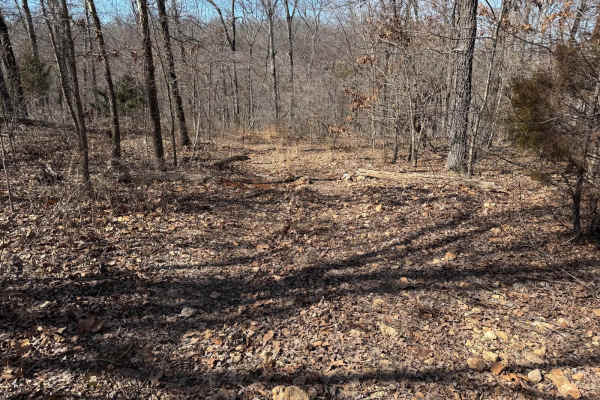
Green 383
Green 383 is located on the top of a bluff on the southeastern corner of the park. This is a non directional trail so you can run it from either direction. Green 383 connects Dave's Hill 354 and Red 355 to Red 378. There are no other direct connecting trails to this one.
Learn more about Green 383
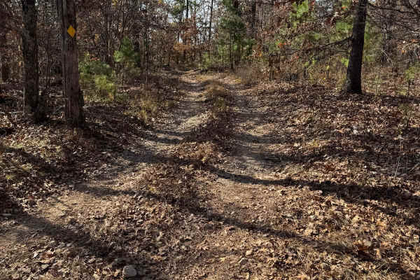
Green 174
Green 174 is a non-directional trail located at the farthest south end of the park. You can run it from either direction. This is one of those trails that is a scenic drive through the trees. It connects to Green 25 at one end and Red 17 at the other end.
Learn more about Green 174
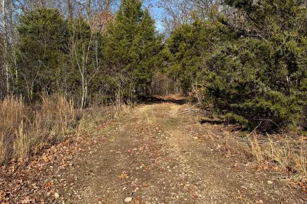
Green 326
Green 326 is a non-directional trail that is located on the southern end of the park. You can run this trail from either direction. Green 326 is connected to Yellow 31 at one end and to where Yellow 330 meets with Red 331. There are no other direct connecting trails from this one.
Learn more about Green 326
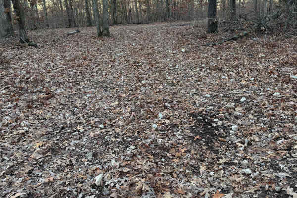
Green 318
Green 318 is a non-directional trail that is located on the southern end of the park. You can run this trail from either direction. Green 318 is connected to Green 25 at one end and Yellow 324 at the other end. This trail also meets up with Glenn's Demise 325.
Learn more about Green 318
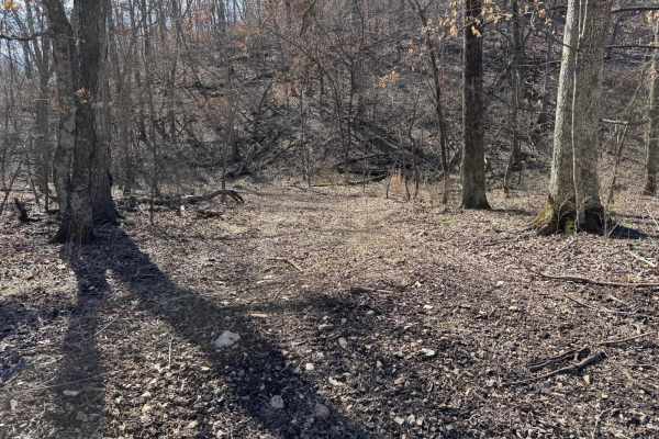
Green 375
Green 375 is located at the southeastern corner of the park. This is a non directional trail so you can run it from either direction. Green 375 is connected to Creek Bed 12 at one end and Green 370 at the other end. There are no other direct connecting trails to this one.
Learn more about Green 375
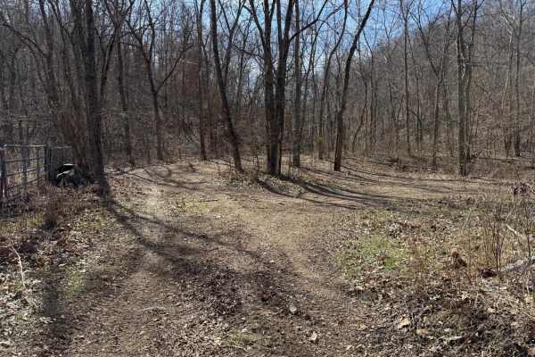
Green 376
Green 376 is located on the southeastern corner of the park. This is a non directional trail so you can run it from either direction. Green 376 is connected to Green 222 at one end and Morgans Creek 377 at the other end. You will also pass by Creek bed 12 and cross over Green 370 along the way.
Learn more about Green 376
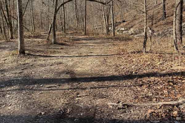
Green 221
Green 221 is located at the farthest southeastern corner of the park. This is a non-directional trail so you can run it from either direction. This is an extension of Creek Bed 12 that will lead passed the old car ruins to the bottom entrance of the Black Widow trail.
Learn more about Green 221
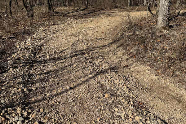
Green 222
Green 222 is located at the farthest southeastern corner of the park. This is a non-directional trail so you can run it from either direction. Green 222 connects to Green 221 at one end and Red 218 at the other end. There are no trails connected to it.
Learn more about Green 222
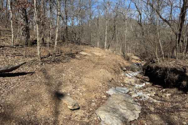
Green 380
Green 380 is located on the southeastern corner of the park. This is a non directional trail so you can run it from either direction. Green 380 is connected to Creek Bed 12 at one end and Austin's Corner 353 at the other end. Green 380 runs parallel to Green 379. You will also pass over Red 381 alon...
Learn more about Green 380
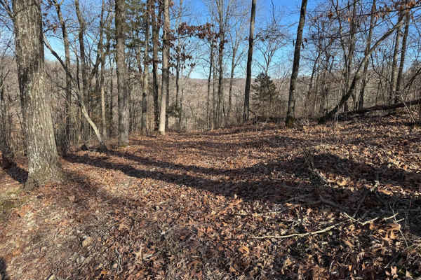
Green 391
Green 391 is located on the southeastern corner of the park. This trail is a short non directional so you can run it from either direction. Green 391 is connected to Yellow 356 at one end and Red 382 at the other end. There are no other direct connecting trails.
Learn more about Green 391
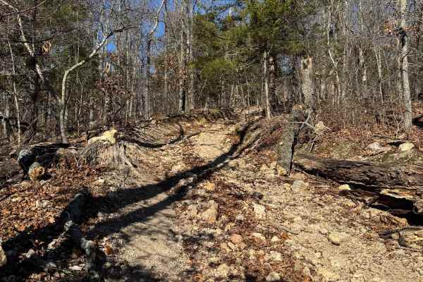
Green 226
Green 226 is located at the farthest southeastern corner of the park. This is a non-directional trail so you can run it from either direction. This trail is connected to Green 227 at one end and a junction where it meets with Yellow 225 and another trail. There are no other trails off of this one.
Learn more about Green 226
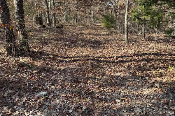
Green 172
Green 172 is located at the farthest area of the park. This is a shorter trail that connects to other trails like Yellow 171 and others at one end and Green 25 at the other end. This is a non-directional trail so you can run it from either direction.
Learn more about Green 172
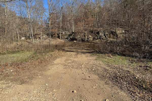
Green 223
Green 223 is located on the farthest southeastern corner of the park. This is a non-directional trail so you can run it from either direction. Green 223 connects to Green 2 at one end and Green 3 at the other end. You will pass over Yellow 224 and pass by Yellow 225 along the way.
Learn more about Green 223
Beginner ATV trails near Johnson, Arkansas
Explore ATV-friendly trails near you. These trails are accessible for vehicles up to 50 inches wide, perfect for ATVs and smaller off-road machines.
North Old Wire Road
The route is approx 2.4 miles, which is one way of easy, well-maintained gravel roads. The route travels north to south along the far east side of the Pea Ridge National Military Park and can be driven in either direction If you are traveling south to north. It begins at N. Old Wire Rd and Alvin Se...
Learn more about North Old Wire Road
Tsalagi Trail East
The Tsalagi Trail East offers a scenic and leisurely expedition through the historic eastern reaches of the Cherokee Nation, making it perfect for beginners, families, and overland enthusiasts seeking a relaxed day on the trail. Spanning approximately 55 miles of unpaved county roads, this route win...
Learn more about Tsalagi Trail East
Cove Creek Crossing
Cove Creek Crossing is a scenic forest route that follows the creek through a narrow mountain valley surrounded by towering hardwoods, rock bluffs, and rolling ridgelines. The road is primarily gravel and generally easy to navigate, though scattered embedded rock and occasional rough patches keep it...
Learn more about Cove Creek Crossing
Green 174
Green 174 is a non-directional trail located at the farthest south end of the park. You can run it from either direction. This is one of those trails that is a scenic drive through the trees. It connects to Green 25 at one end and Red 17 at the other end.
Learn more about Green 174
Beginner UTV/side-by-side trails near Johnson, Arkansas
Find UTV and side-by-side trails near you. These trails accommodate vehicles up to 60 inches wide, ideal for UTVs, side-by-sides, and wider off-road rigs.
Bluff Run
Bluff Run gets its name from the countless beautiful bluffs, rock faces, and rock formations you will see along the way. This trail is part of the Green Country Oklahoma Adventure Tour (GOAT), which comprises mainly dirt roads with short bits of connecting pavement where necessary. This is an easy r...
Learn more about Bluff Run
North Old Wire Road
The route is approx 2.4 miles, which is one way of easy, well-maintained gravel roads. The route travels north to south along the far east side of the Pea Ridge National Military Park and can be driven in either direction If you are traveling south to north. It begins at N. Old Wire Rd and Alvin Se...
Learn more about North Old Wire Road
Tsalagi Trail East
The Tsalagi Trail East offers a scenic and leisurely expedition through the historic eastern reaches of the Cherokee Nation, making it perfect for beginners, families, and overland enthusiasts seeking a relaxed day on the trail. Spanning approximately 55 miles of unpaved county roads, this route win...
Learn more about Tsalagi Trail East
Cove Creek Crossing
Cove Creek Crossing is a scenic forest route that follows the creek through a narrow mountain valley surrounded by towering hardwoods, rock bluffs, and rolling ridgelines. The road is primarily gravel and generally easy to navigate, though scattered embedded rock and occasional rough patches keep it...
Learn more about Cove Creek Crossing
The onX Offroad Difference
onX Offroad combines trail photos, descriptions, difficulty ratings, width restrictions, seasonality, and more in a user-friendly interface. Available on all devices, with offline access and full compatibility with CarPlay and Android Auto. Discover what you're missing today!
Open Trail Map