
Beginner Off-Road Trails
Near Ironton, Missouri
Explore All Beginner Trails Near Ironton, Missouri
Beginner Off-Road Trails Near Ironton, Missouri
Discover the best beginner-friendly off-road trails near you. These easier, lower-rated trails are a great place to start — browse trail maps, check difficulty ratings, and find your next adventure.
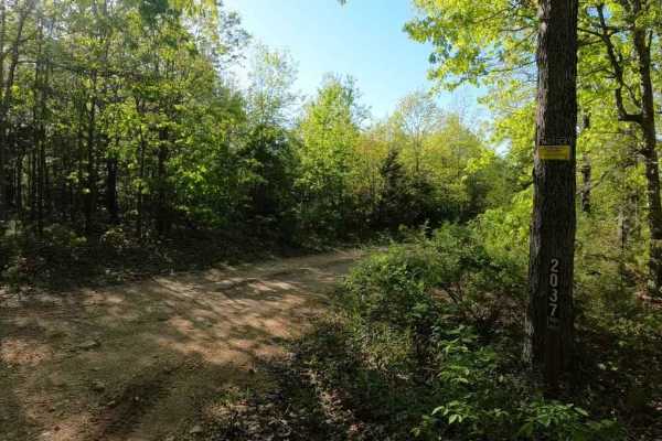
Crane Mountain Ridge FSR 2037
The Crane Mountain Ridge FSR 2037, is a gravel forestry road through the St Francois Mountains in the Fredericktown sector of Mark Twain National Forest. It features mild hill climbs, small loose rock, an off camber spot, large pot holes, rutting, mounding, washboarding, water collections spots, opt...
Learn more about Crane Mountain Ridge FSR 2037
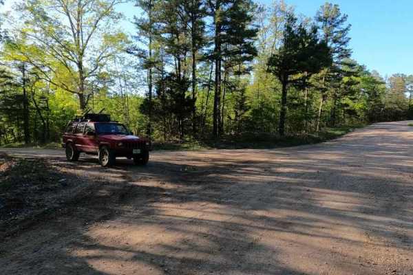
Crane Mountain FSR 2108
Crane Mountain FSR 2108 is a gravel forestry road through the St Francois Mountains in the Fredericktown Sector of Mark Twain National Forest. It is an easy-going gravel road, with two small creek crossings, shallow water collection spots, sections of course gravel/rock, and gradual graded hills. Th...
Learn more about Crane Mountain FSR 2108

Flat Woods Road
Flat Woods Road, or Iron County Road 109, is in what locals refer to as the Turkey Foot area. It is a gravel county road that traverses mostly private and partially Mark Twain National Forest land through its track. The road is very scenic, showing off beautiful short-leaf pines growing along the ed...
Learn more about Flat Woods Road
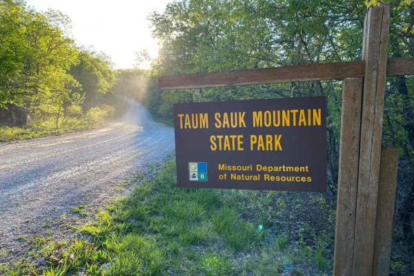
Taum Sauk Mountain Road
Taum Sauk Mountain Road, is a gravel road traversing the state park of the same name, which is home of Missouri's highest point at 1772 ft, yeah not that tall, but noteworthy. The road is very easy going, because it is well maintained, and has only mild rolling hills in it's path. The State Park fea...
Learn more about Taum Sauk Mountain Road
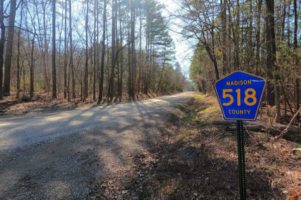
Rock Creek Road
Rock Creek Road, or Madison County 518, is a gravel county road that traverses half private and half Mark Twain National Forest land through its track. The road is very scenic, showing off beautiful short-leaf pines growing adjacent to Rock Creek that parallels the edge of the road, giving views Mis...
Learn more about Rock Creek Road
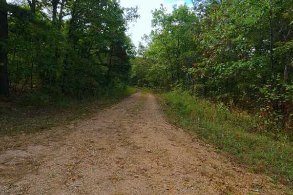
Womble Hollow - FS 2481
Womble Hollow FS 2481 is a semi-maintained single-width gravel road that leans towards a natural improved road over its track and is within the Potosi Unit of Mark Twain National Forest. The fading gravel road several times turns into a dirt, coarse gravel and natural terrain path overall doing one ...
Learn more about Womble Hollow - FS 2481
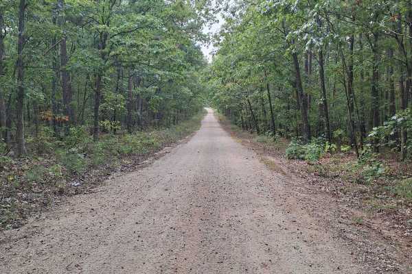
Shepard Cutoff - FSR 2228
This Route is the continuation of an already submitted route. This route is coming from O Highway into the Bell Mountain area. This trail will lead you to the Bell Mountain Trailhead. This is an amazing area to explore and hike. The area offers beautiful countryside and amazing trails. This road is ...
Learn more about Shepard Cutoff - FSR 2228
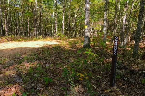
Coon Hollow - FS 2482
Coon Hollow (FS 2482) is a gravel forest service road within the Mark Twain National Forest Potosi Unit. Coon Hollow, despite being the shorter road in the area, is the entry road off the Shepard Cutoff (FS 2228) into this micro-system of three roads, shortly forking to the right to the much longer ...
Learn more about Coon Hollow - FS 2482
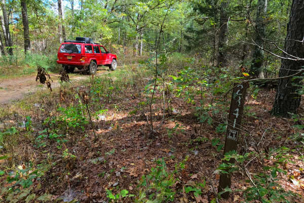
Sherbrooke - FS 2841
Sherbrooke (FS 2841) is a semi-maintained gravel and natural terrain forest road within the Mark Twain National Forest Potosi Unit. Sherbrooke forks east off the Coon Hollow (FS 2482), quickly turning due north to the depths of this portion of Mark Twain National Forest, the total track being 2.1 m...
Learn more about Sherbrooke - FS 2841
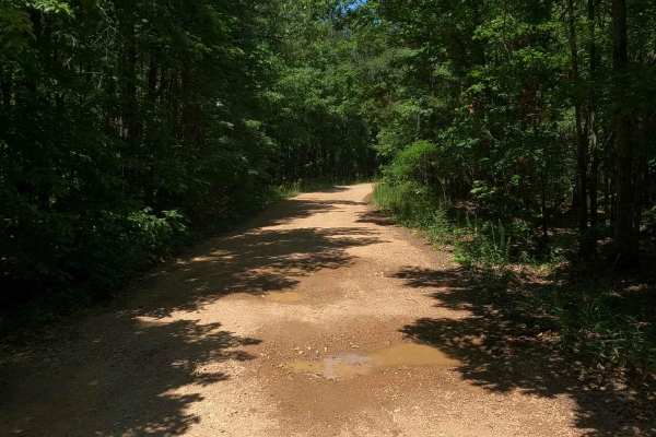
Chloride Ridge FSR 2112
Chloride Ridge FSR 2112, is a simple gravel-based Forestry Road through the Fredericktown Sector of Mark Twain National Forest. The road features a few small rolling hills with mild climbs, and a few small soft wet spots where the gravel fades to dirt, tracking past a few camp cutouts amongst the tr...
Learn more about Chloride Ridge FSR 2112
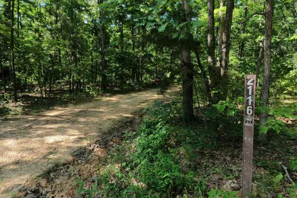
Crane Tower South FSR 2116
Crane Tower South FSR 2116 is a gravel forestry road through the Fredericktown Sector of Mark Twain National Forest. It features a gravel road at its foundation, but throughout its track it slowly degrades to a mostly dirt road, showing little to no maintenance and resulting in mild rutted sections ...
Learn more about Crane Tower South FSR 2116
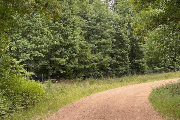
CR 404 Crane
This is a scenic route from Highway 49 to Crane Lake Recreation Area. Enjoy the ride; it'll be moderate (weather may affect some areas, so watch for downed trees or potential water on the road). When you arrive at Crane Lake, make sure you check out the boat dock-an awesome spot to have a lunch brea...
Learn more about CR 404 Crane
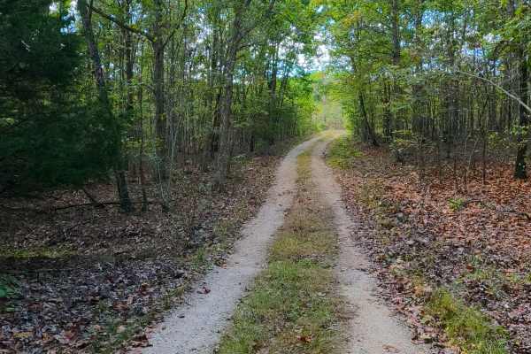
Asher - FS 2484
Asher (FS 2484) is a gravel, leaning into a natural, improved, single-width road within the Potosi Unit of Mark Twain National Forest. The track drops off the Shepard Cutoff, immediately going downhill, traversing some small ruts formed from active erosion, to the point it crosses a cobble rock bott...
Learn more about Asher - FS 2484
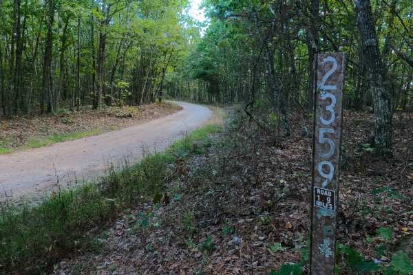
Lindsey Mountain - FS 2359
Lindsey Mountain FS 2359 is a well-maintained gravel road within the Potosi Unit of Mark Twain National Forest. The road begins by spurring off the Shepard Cutoff, heading southward along the eastern boundary of the Bell Mountain Wilderness towards Lindsey Mountain, traversing the ridge spines, beau...
Learn more about Lindsey Mountain - FS 2359
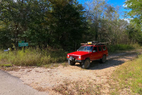
Taum Sauk Cemetery - RCR 205
Taum Sauk Cemetery, or the Reynolds County Road 205, is a remote coarse gravel road in Reynolds County, Missouri. The cemetery road comes off the unnamed paved Reynolds County Road that forks from the Reynolds 204, heading north into the valley bottoms south of Proffit Mountain, which hosts the (Ame...
Learn more about Taum Sauk Cemetery - RCR 205
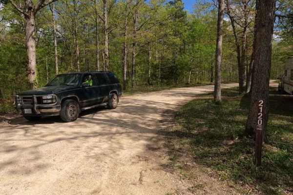
Nine Mile (Marsh Creek FSR 2120)
Nine Mile, also known as Marsh Creek FSR 2120, is a gravel forestry route through the Fredericktown sector of Mark Twain National Forest. The road features generally easy riding through the part of the St Francois mountains it lays upon, it features some moderate hill climbs, loose gravel, mounding,...
Learn more about Nine Mile (Marsh Creek FSR 2120)
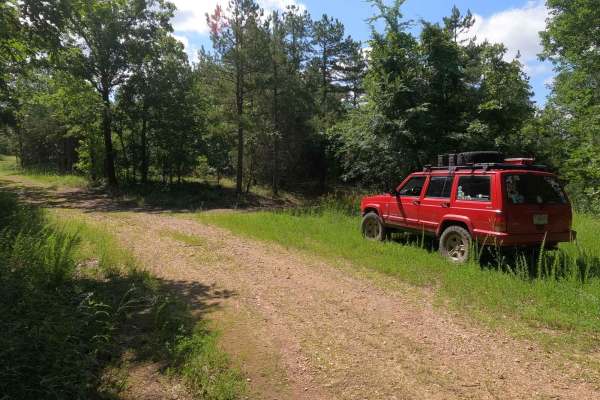
Chloride Leatherwood FSR 2142
Chloride Leatherwood FSR 2142 is a gravel forestry route within the Fredericktown Sector of Mark Twain National Forest, closed yearly for turkey season from 3/31 to 5/16. It features rolling hills leading through the wooded forest area of the Crane Lake area. The primary use of the area is turkey hu...
Learn more about Chloride Leatherwood FSR 2142
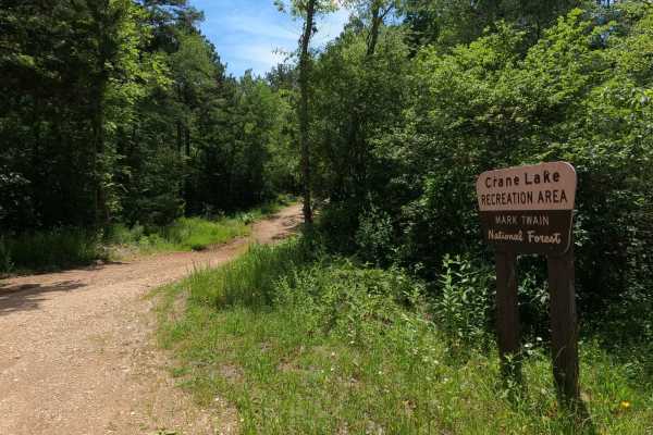
Crane Lake Recreation Area FRS 2117
The Crane Lake Recreation Area FSR 2117 is a gravel Forest Service road along the northeast corner of Crane Lake, which is within the Fredericktown Sector of Mark Twain National Forest. This is a great central hub for exploration in the area, located amongst many of the area's other Forest Service r...
Learn more about Crane Lake Recreation Area FRS 2117
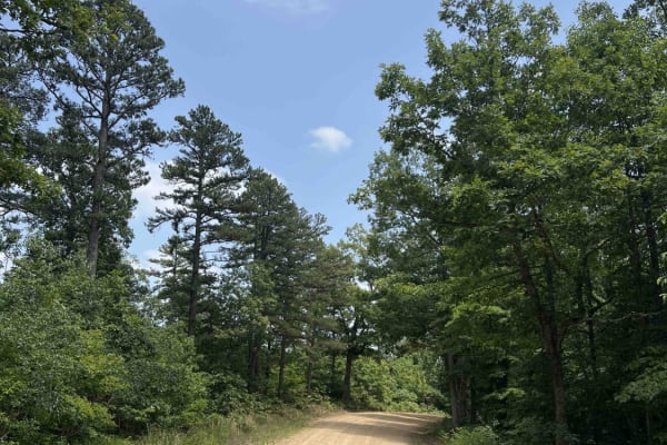
Shepard Cutoff - 2228
Shepard Cutoff 2228 is the gateway to Bell Mountain Wilderness which is a 9,143 acre wilderness located right outside of Caledonia, Missouri. This road is well-maintained with gravel and curves through the Mark Twain National Forest which encompasses 1.5 million acres. Along this route, you will com...
Learn more about Shepard Cutoff - 2228
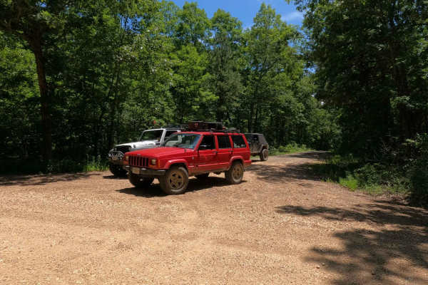
Corner - FSR 2113
Corner - FSR 2113, is an easy-going gravel forestry road through the Fredericktown sector of Mark Twain National Forest. It features small rolling hills with mild climbs, mild feeder creek crossings, and several campable cutouts along its path. The primary draw to the road appears to be hunting seas...
Learn more about Corner - FSR 2113
Beginner ATV trails near Ironton, Missouri
Explore ATV-friendly trails near you. These trails are accessible for vehicles up to 50 inches wide, perfect for ATVs and smaller off-road machines.
Womble Hollow - FS 2481
Womble Hollow FS 2481 is a semi-maintained single-width gravel road that leans towards a natural improved road over its track and is within the Potosi Unit of Mark Twain National Forest. The fading gravel road several times turns into a dirt, coarse gravel and natural terrain path overall doing one ...
Learn more about Womble Hollow - FS 2481
Coon Hollow - FS 2482
Coon Hollow (FS 2482) is a gravel forest service road within the Mark Twain National Forest Potosi Unit. Coon Hollow, despite being the shorter road in the area, is the entry road off the Shepard Cutoff (FS 2228) into this micro-system of three roads, shortly forking to the right to the much longer ...
Learn more about Coon Hollow - FS 2482
Sherbrooke - FS 2841
Sherbrooke (FS 2841) is a semi-maintained gravel and natural terrain forest road within the Mark Twain National Forest Potosi Unit. Sherbrooke forks east off the Coon Hollow (FS 2482), quickly turning due north to the depths of this portion of Mark Twain National Forest, the total track being 2.1 m...
Learn more about Sherbrooke - FS 2841
CR 404 Crane
This is a scenic route from Highway 49 to Crane Lake Recreation Area. Enjoy the ride; it'll be moderate (weather may affect some areas, so watch for downed trees or potential water on the road). When you arrive at Crane Lake, make sure you check out the boat dock-an awesome spot to have a lunch brea...
Learn more about CR 404 Crane
Beginner UTV/side-by-side trails near Ironton, Missouri
Find UTV and side-by-side trails near you. These trails accommodate vehicles up to 60 inches wide, ideal for UTVs, side-by-sides, and wider off-road rigs.
Womble Hollow - FS 2481
Womble Hollow FS 2481 is a semi-maintained single-width gravel road that leans towards a natural improved road over its track and is within the Potosi Unit of Mark Twain National Forest. The fading gravel road several times turns into a dirt, coarse gravel and natural terrain path overall doing one ...
Learn more about Womble Hollow - FS 2481
Shepard Cutoff - FSR 2228
This Route is the continuation of an already submitted route. This route is coming from O Highway into the Bell Mountain area. This trail will lead you to the Bell Mountain Trailhead. This is an amazing area to explore and hike. The area offers beautiful countryside and amazing trails. This road is ...
Learn more about Shepard Cutoff - FSR 2228
Coon Hollow - FS 2482
Coon Hollow (FS 2482) is a gravel forest service road within the Mark Twain National Forest Potosi Unit. Coon Hollow, despite being the shorter road in the area, is the entry road off the Shepard Cutoff (FS 2228) into this micro-system of three roads, shortly forking to the right to the much longer ...
Learn more about Coon Hollow - FS 2482
Sherbrooke - FS 2841
Sherbrooke (FS 2841) is a semi-maintained gravel and natural terrain forest road within the Mark Twain National Forest Potosi Unit. Sherbrooke forks east off the Coon Hollow (FS 2482), quickly turning due north to the depths of this portion of Mark Twain National Forest, the total track being 2.1 m...
Learn more about Sherbrooke - FS 2841
The onX Offroad Difference
onX Offroad combines trail photos, descriptions, difficulty ratings, width restrictions, seasonality, and more in a user-friendly interface. Available on all devices, with offline access and full compatibility with CarPlay and Android Auto. Discover what you're missing today!
Open Trail Map