Trail Overview
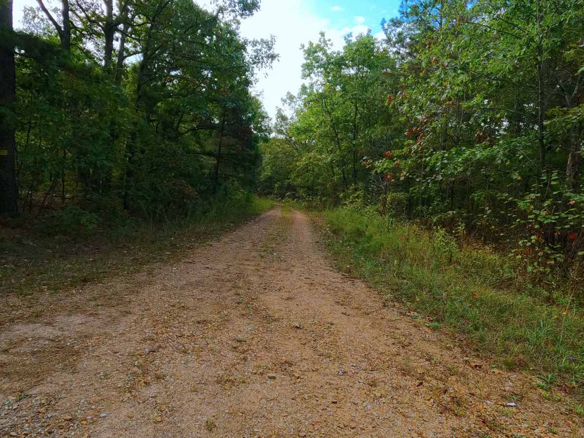
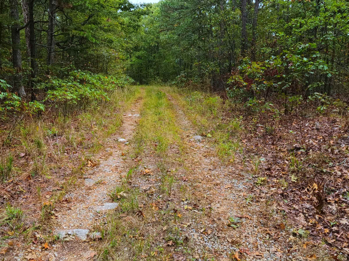
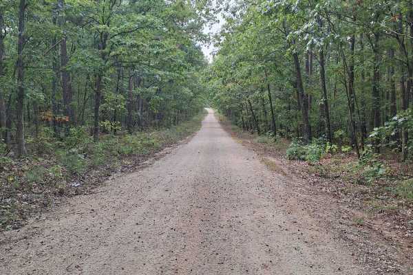
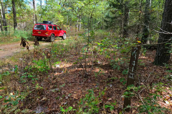
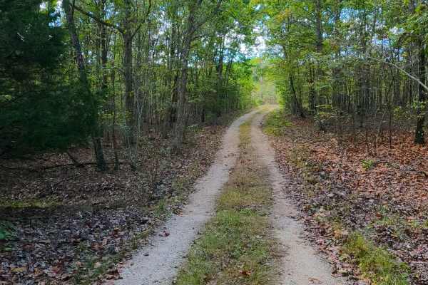
Womble Hollow FS 2481 is a semi-maintained single-width gravel road that leans towards a natural improved road over its track and is within the Potosi Unit of Mark Twain National Forest. The fading gravel road several times turns into a dirt, coarse gravel and natural terrain path overall doing one slow drop down in elevation between the two main spines of the ridge, before finishing up by climbing back up to a similar top elevation of the ridge, to meet a former fork where the trail turns west becoming very natural on the last 550 foot of the track, where the MVUM sanctioned road ends, via walking in another 550 feet the road concludes to purple paint and a wire cable over the road at the private property line.
Difficulty
Womble Hollow is given a base rating of 2/10, being primarily a semi-maintained gravel road, having sections that lean natural improved, containing, all natural sections of either a dirt path or natural coarse gravel, over mild graded hills with small active erosion ruts (being 6" or less deep), potential loose small cobbles, surface mud, and water collection spots. At minimum, expect the normal gravel road complications of potholes, washboards, and mounding of the gravel. Difficulty could increase in wet conditions and heavy use with a lack of maintenance. The road could also drop in difficulty if it were to be mended.