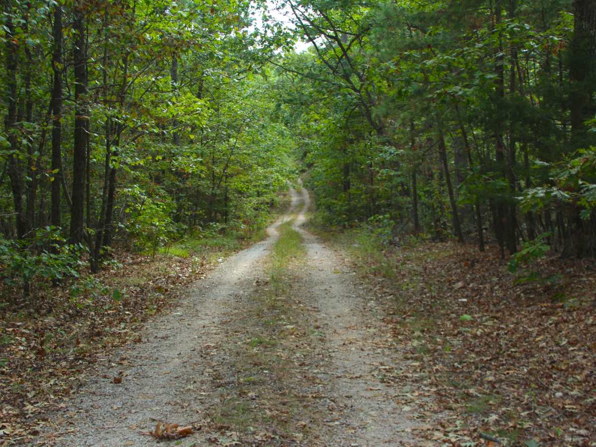
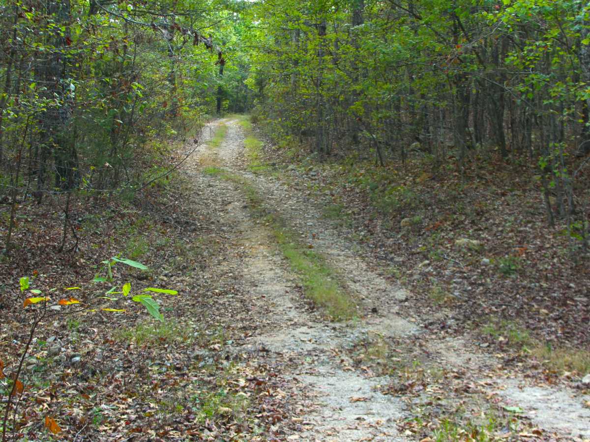
Trail Overview
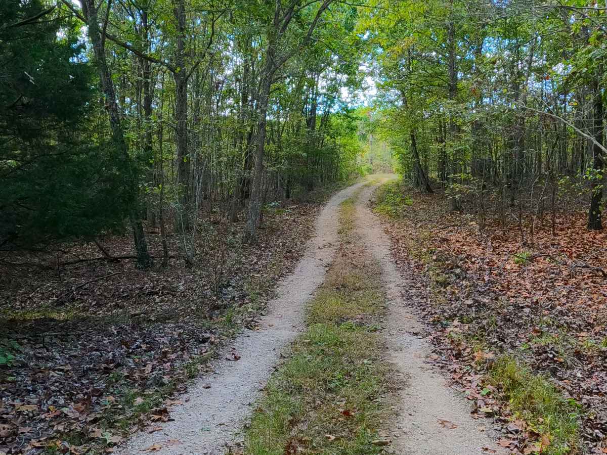
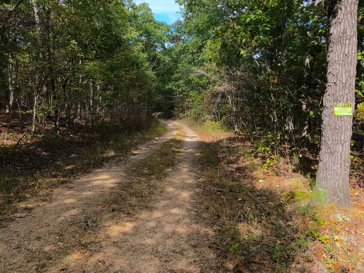
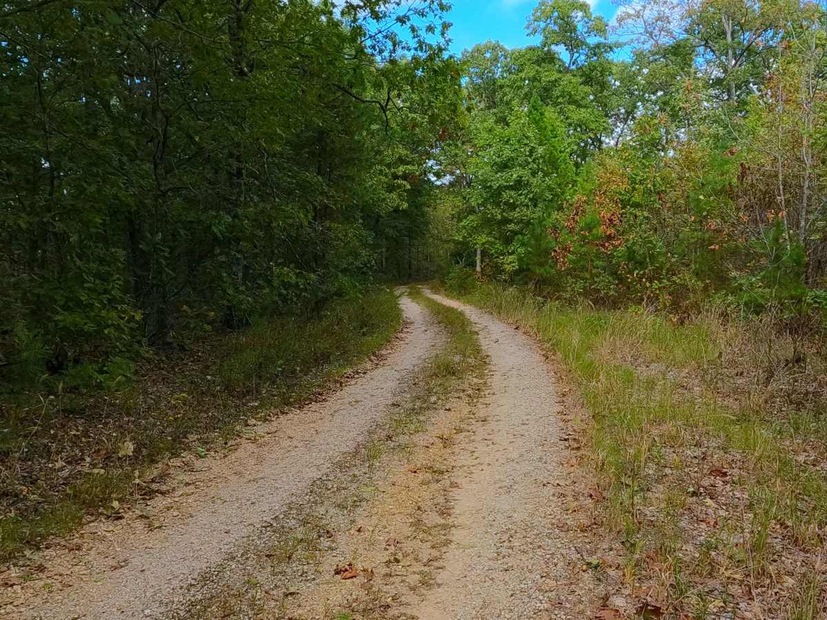
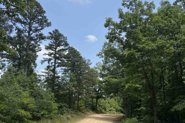
Asher (FS 2484) is a gravel, leaning into a natural, improved, single-width road within the Potosi Unit of Mark Twain National Forest. The track drops off the Shepard Cutoff, immediately going downhill, traversing some small ruts formed from active erosion, to the point it crosses a cobble rock bottomed water runoff channel into an adjacent valley, to climb a grade back uphill to then repeat similarly going downhill again into a second smaller runoff, before climbing the final hill to the turnaround. A quick, fun trail to in and out when in the Shepard Cutoff area.
Difficulty
Asher is given a base rating of 2/10, being primarily a semi-maintained gravel road, having sections that lean natural improved, containing sections of natural coarse gravel, over mild graded hills with small active erosion ruts (being 12 inches or less deep), potential loose small cobbles, surface mud, and water collection spots. At minimum, expect the normal gravel road complications of potholes, washboards, and mounding of the gravel. Difficulty could increase in wet conditions, heavy use, or a lack of maintenance.
History
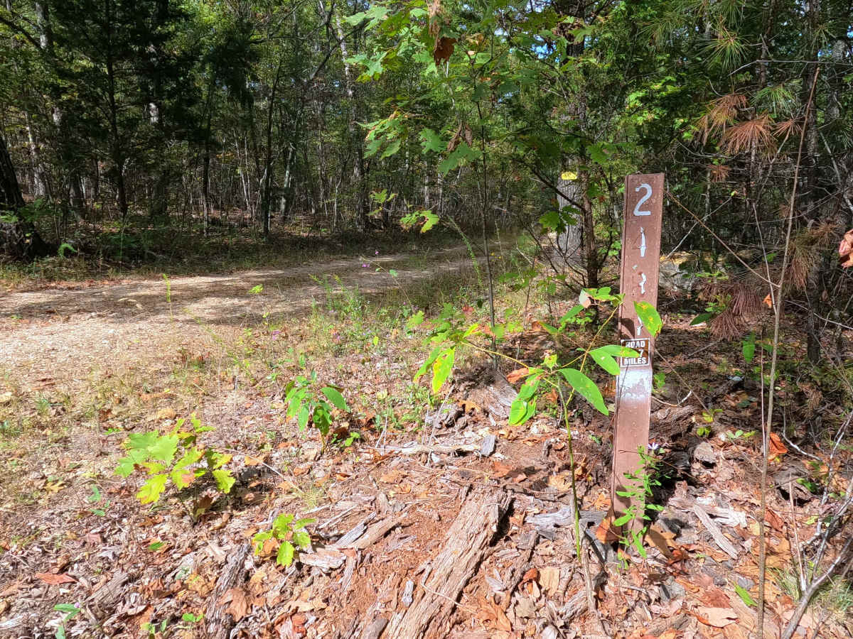
First notations of this road came on the 1999 Banner, Missouri topo map, showing the road used to continue much further along the ridge it is placed on, going another 0.9 miles past the current day turnaround, headed very closely on point towards a Cemetery located on private property at 37.67217, -90.8144. Documented by Christopher Menz, 10/2025.