
Beginner Off-Road Trails
Near Iola, Pennsylvania
Explore All Beginner Trails Near Iola, Pennsylvania
Beginner Off-Road Trails Near Iola, Pennsylvania
Discover the best beginner-friendly off-road trails near you. These easier, lower-rated trails are a great place to start — browse trail maps, check difficulty ratings, and find your next adventure.
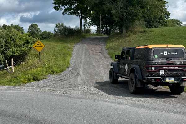
Cooper Road
Cooper Road is primarily a graded dirt and gravel road. Cooper Road is an easy ride in the summer months; however, there is no winter maintenance. During times of rain, snow, and ice, the road can become rutted and harder to travel on. There are numerous spots to stop along this road and enjoy the f...
Learn more about Cooper Road

Camp Hill Road
This Trail is a typical state forest graded gravel road within Loyalsock State Forest. This trail is a up and back and leads to another trail system, but is gated. There was a small washout on this trail, but it remained accessible to full-size vehicles. The trail is surrounded by big timber and pin...
Learn more about Camp Hill Road
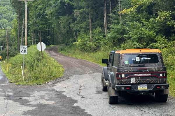
Holmes Hollow Road
Holmes Hollow Road is primarily a graded dirt and gravel road. Holmes Hollow Road is an easy ride in the summer months; however, there is no winter maintenance. During times of rain, snow, and ice, the road can become rutted and harder to travel on. There are numerous spots to stop along this road a...
Learn more about Holmes Hollow Road
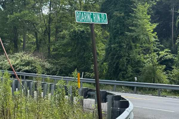
Roaring Run Road
Roaring Run Road is primarily a graded dirt and gravel road. There is a short paved section of this road on the south at the intersection with US Route 220. It turns to dirt and gravel shortly after you start heading north. Roaring Run Road is an easy ride in the summer months; however, there is no ...
Learn more about Roaring Run Road
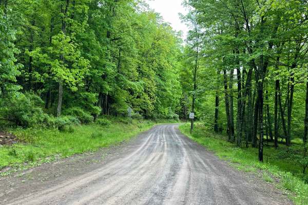
Ticklish Rock Road
Ticklish Rock Road is a wide and smooth gravel road just outside of Loyalsock State Forest. Meandering through dense hardwood forest, many sections are a shelf road or are lined with exposed rock. The rock formation "Ticklish Rock" is accessible from a parking area and walking trail (both on private...
Learn more about Ticklish Rock Road
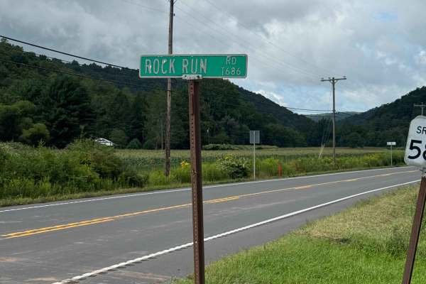
Rock Run Road
Rock Run Road is primarily a graded dirt and gravel road. Rock Run Road is an easy ride in the summer months; however, there is no winter maintenance. During times of rain, snow, and ice, the road can become rutted and harder to travel on. There are numerous spots to stop along this road and enjoy t...
Learn more about Rock Run Road
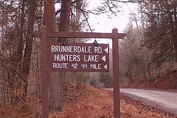
Brunnerdale Road
This trail is an in-and-out route through Loyalsock State Forest, following a graded gravel road with small sections of dirt that can become muddy after rain while still maintaining a solid base. It is easy to travel in summer and includes several pull-offs for wildlife viewing. Hunters Lake, manage...
Learn more about Brunnerdale Road
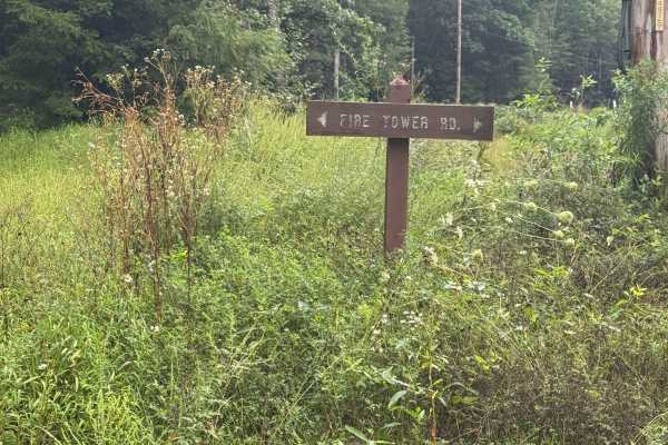
Fire Tower Road
Fire Tower Road is a graded dirt and gravel road. It is an out-and-back road with a large turnaround at the end. Fire Tower Road is an easy ride in the summer months; however, there is no winter maintenance. During times of rain, snow, and ice, the road can become rutted and harder to travel on. Fir...
Learn more about Fire Tower Road
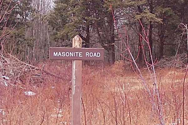
Masonite Road
This is an in-and-out trail within Loyalsock State Forest. The trail runs off of Flynn Road, leading towards two trails: Hottenstein Road and Old Berwick Turnpike. This trail is Graded Gravel with plenty of parking spaces and turnarounds. There are big timber woods with some tall pines. The trail is...
Learn more about Masonite Road
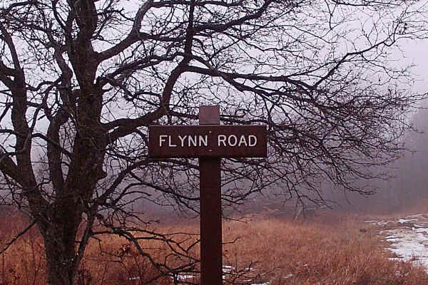
Flynn Road
This is a trail within Loyalsock State Forest that is reachable from the main road, SR 2006, and converges with other state forest trails. It is a typical state forest trail that is an in-and-out, graded gravel trail. Surrounded by big timber and tall pines, with plenty of wildlife surrounding this ...
Learn more about Flynn Road
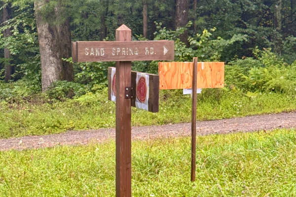
Sand Spring Road
Sand Spring Road is a 2-mile out-and-back dirt and gravel road. There is a large turnaround at the northern end. Sand Spring Road is an easy ride in the summer months; however, there is no winter maintenance. During times of rain, snow, and ice, the road can become rutted and harder to travel on. Sa...
Learn more about Sand Spring Road
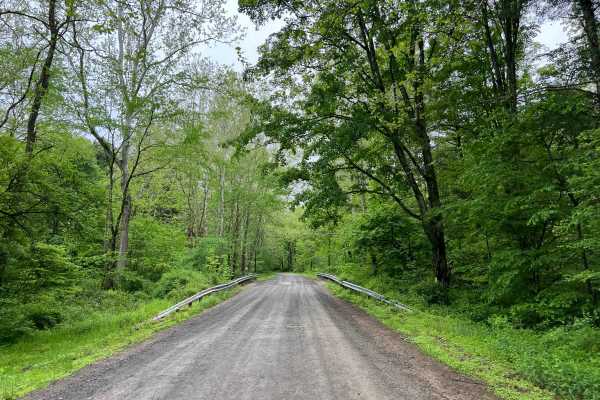
Ogdonia Road
Ogdonia Road is a wide, easily-traveled road through part of Loyalsock State Forest and beyond, to the border of Sullivan County and Lycoming County. The road surface is smooth gravel, with the occasional pothole or small puddle. The majority of this road follows Ogdonia Creek closely, making for a ...
Learn more about Ogdonia Road
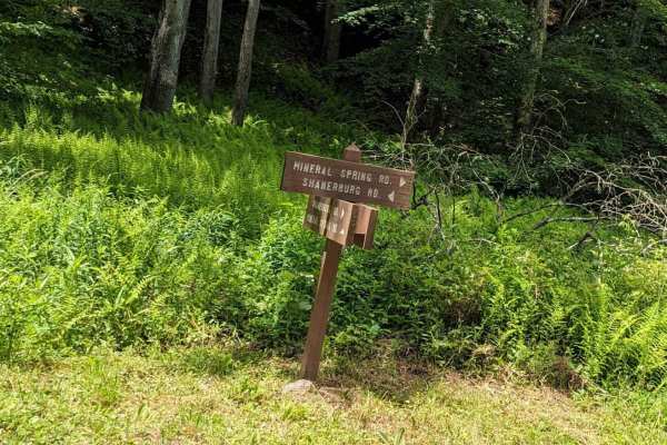
Mineral Spring Road
Essentially a connector between Shanerburg Road and Worlds End State Park, this trail has some narrow bridges and potholes but no major obstacles. There are a couple of places to pull off if needed and the road is generally 1.5 vehicles wide. Use caution as you near Worlds End State Park, as other d...
Learn more about Mineral Spring Road
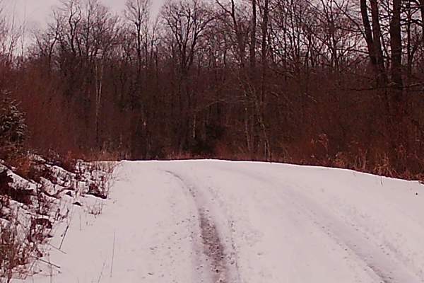
New Pond Road
New Pond Road is a graded gravel road within Loyalsock State Forest and is managed by PA DCNR and Ricketts Glen State Park. This trail is an offshoot from Mountain Spring Road. The trail is a up-and-back trail that runs to a no-exit. It is surrounded by big timber and pine trees, with plenty of wild...
Learn more about New Pond Road
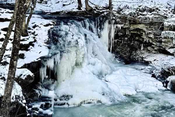
Dry Run Road
This light gravel road runs from High Knob Road along Dry Run inside Loyalsock State Forest. The 6.8-mile out-and-back trip (if you continue further down the road, you will encounter the state park facilities/watershed area) takes you along Dry Run, and there is parking to view the falls up close.
Learn more about Dry Run Road
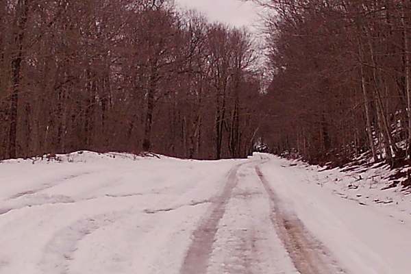
Mountain Spring Road
Mountain Spring Road is a typical State forest graded gravel road that is within the Loyalsock State Forest and is managed by PA DCNR and the Ricketts Glen State Park. This trail is a in and out leading to the main highway from the mountain. There are two rather large ponds and fishing is allowed, w...
Learn more about Mountain Spring Road
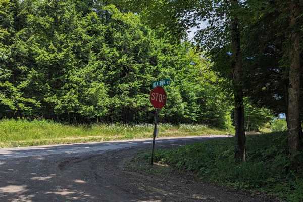
Rock Run Road
This is an easy trail on the eastern side of Loyalsock State Forest which winds down outside of LaPorte. Along the way, you will see several small waterfalls with a few narrow sections to traverse. There are also several pull-offs and forest areas to see. The road is very well-maintained with few to...
Learn more about Rock Run Road
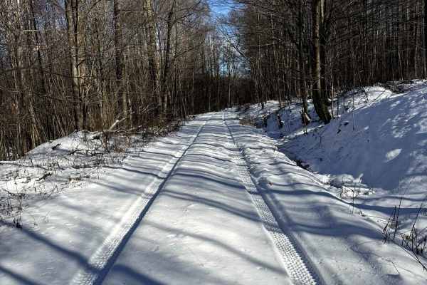
McCarty Road
This gravel road runs from the entrance off of Dry Run Road and heads further into the State Park. This trail is narrow, be mindful when traveling in groups and of oncoming vehicles. Be sure to check the signage, as it is not guaranteed to be the same as posted here. At the time of posting, this is ...
Learn more about McCarty Road
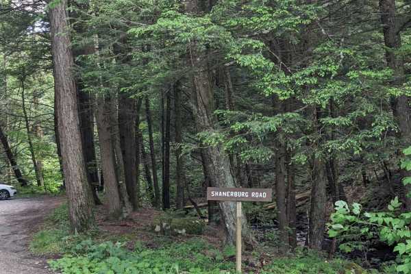
Shanerburg Road
Shanerburg Road is a long winding trail that will pass you by several streams with a 1-lane bridge. The trail passes through much of the forest--it's longer than you'd think. The road has a few potholes but is generally well maintained with areas to pass and pull-offs along the way.
Learn more about Shanerburg Road
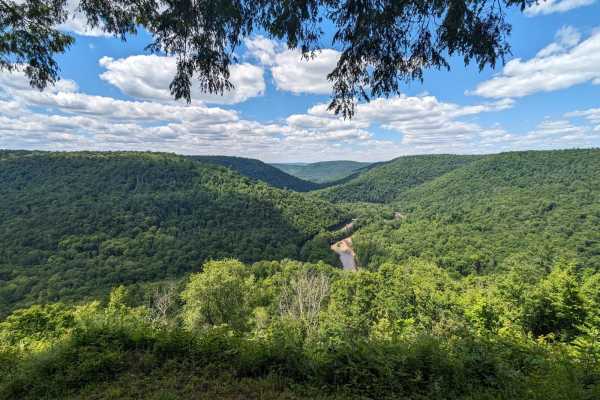
Cold Run Road
This is a twisting hill climb to the vista overlook of Loyalsock Creek and the rock garden where you can stop to use facilities, seating areas, and parking. Along the remainder of the route, you will see forest scenery with access to trailheads and several more parking areas. The route appears to be...
Learn more about Cold Run Road
Beginner ATV trails near Iola, Pennsylvania
Explore ATV-friendly trails near you. These trails are accessible for vehicles up to 50 inches wide, perfect for ATVs and smaller off-road machines.
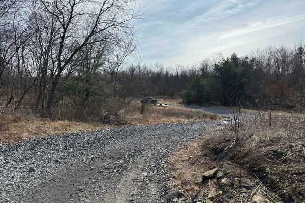
Ashland 92
Ashland 92 is the main east-to-west trail starting on 54 and going to Trail 90. This is a relatively smooth trail with some small rocks and brush. This trail is commonly used as a dump, so there is a ton of trash piles to swerve around.
Learn more about Ashland 92
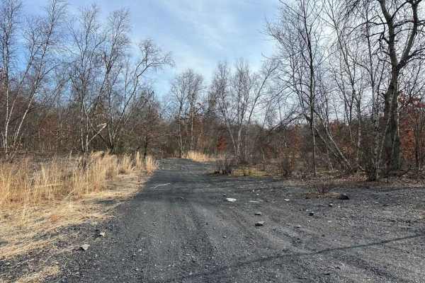
Ashland 91
Ashland 91 starts off of trail 90 and is a tight brushy trail with some trees down. It leads through the brush and dumps out into a large grass field/yard. Please stay off of the yard, as someone keeps it nice. There are small puddles and rocks along this trail.
Learn more about Ashland 91
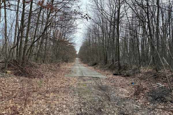
Ashland 94
Part of Ashland 94 is an old asphalt road. The rest of the trail is wooded with debris, stumps, small rocks, and brush. This section can be loaded with trash and dumping areas, so watch your tires. Combine this with the rest of these trails and it makes for a nice riding area.
Learn more about Ashland 94
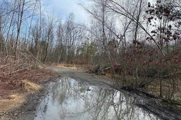
Ashland 93
Trail 93 goes from Ashland 94 to Ashland 92. It is a smooth trail with brush, small rocks, and shallow puddles. This can get very brushy during the summer months, so use caution. If using a full-size vehicle, you will get pinstriping on this section.
Learn more about Ashland 93
Beginner UTV/side-by-side trails near Iola, Pennsylvania
Find UTV and side-by-side trails near you. These trails accommodate vehicles up to 60 inches wide, ideal for UTVs, side-by-sides, and wider off-road rigs.
Ashland 92
Ashland 92 is the main east-to-west trail starting on 54 and going to Trail 90. This is a relatively smooth trail with some small rocks and brush. This trail is commonly used as a dump, so there is a ton of trash piles to swerve around.
Learn more about Ashland 92
Ashland 91
Ashland 91 starts off of trail 90 and is a tight brushy trail with some trees down. It leads through the brush and dumps out into a large grass field/yard. Please stay off of the yard, as someone keeps it nice. There are small puddles and rocks along this trail.
Learn more about Ashland 91
Ashland 94
Part of Ashland 94 is an old asphalt road. The rest of the trail is wooded with debris, stumps, small rocks, and brush. This section can be loaded with trash and dumping areas, so watch your tires. Combine this with the rest of these trails and it makes for a nice riding area.
Learn more about Ashland 94
Ashland 93
Trail 93 goes from Ashland 94 to Ashland 92. It is a smooth trail with brush, small rocks, and shallow puddles. This can get very brushy during the summer months, so use caution. If using a full-size vehicle, you will get pinstriping on this section.
Learn more about Ashland 93
The onX Offroad Difference
onX Offroad combines trail photos, descriptions, difficulty ratings, width restrictions, seasonality, and more in a user-friendly interface. Available on all devices, with offline access and full compatibility with CarPlay and Android Auto. Discover what you're missing today!
Open Trail Map