
Beginner Off-Road Trails
Near Inyokern, California
Explore All Beginner Trails Near Inyokern, California
Beginner Off-Road Trails Near Inyokern, California
Discover the best beginner-friendly off-road trails near you. These easier, lower-rated trails are a great place to start — browse trail maps, check difficulty ratings, and find your next adventure.
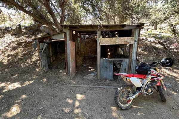
Nadeau-Magnolia Mine
This is a fun ride up the canyon from Indian Wells Brewery that takes you to the Nadeau-Magnolia Mine. This is one of the few abandoned mine sites that still maintains its historical charm. The road up is a pretty easy climb, with only a few ruts here and there. Pack a lunch and enjoy the views.
Learn more about Nadeau-Magnolia Mine
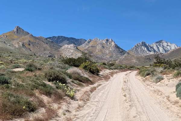
Short Canyon Road - BLM SE138
Starting off the Highway 395 feeder south of Brady's Mini Mart, this connector delivers you to the trail accessing Short Canyon Trailhead as well as other trails in the area. Sandy surface alternates between loose and hard-packed sections, creating variable traction conditions. Vegetation mixes creo...
Learn more about Short Canyon Road - BLM SE138
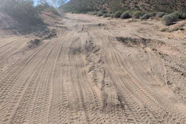
BLM SE125
Starting off BLM SE138, this sandy route features lots of off-camber sections, ruts, and articulating whoops while going up and down small hills in decidedly non-flat terrain that will test your suspension thoroughly. The trail crosses BLM SE137 and Grapevine Canyon Road before terminating on the no...
Learn more about BLM SE125
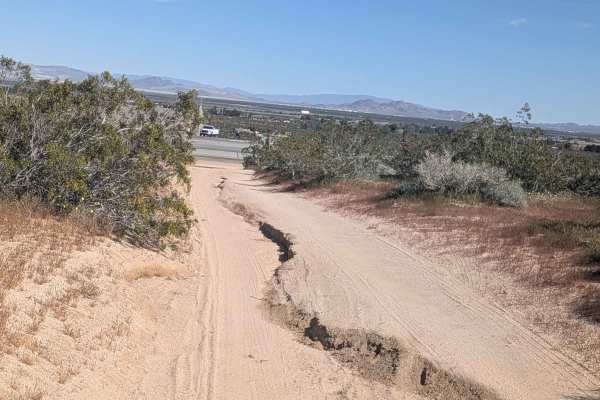
Leliter Road - BLM SE137
Starting on the feeder road off Highway 395 north of Brady's Mini Mart, this sandy alternative route heads west toward Short Canyon, serving as another option to reach Short Canyon Trailhead beyond BLM SE139. The trail crosses trails LAP and LA2 along its path. Thick desert flora lines the route, in...
Learn more about Leliter Road - BLM SE137
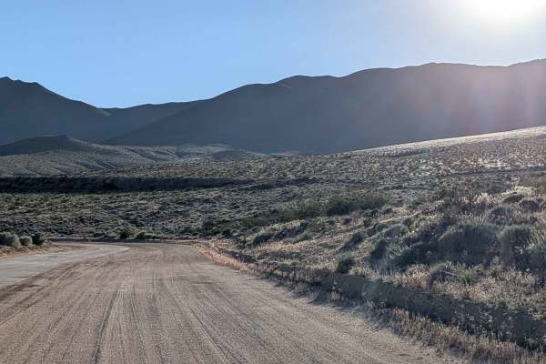
Aquaduct Road 2 Highway 178 North LA1
This seasonally graded sand route runs along one of the LADWP aqueducts as a mostly wide shelf trail. Great views emerge above of rock formations, while the valley below and mountains on the far side create layered scenery. Small ruts and deeper sand sections appear throughout, while dust kicks up c...
Learn more about Aquaduct Road 2 Highway 178 North LA1
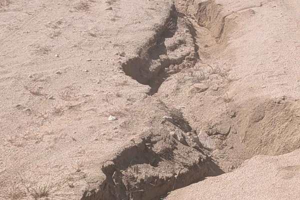
Short Canyon Trailhead - BLM SE139
One of the highlighted trails in the area, this hard-pack sand route runs about 1.5 vehicles wide into Short Canyon. Climbing into the canyon reveals dramatic, beautiful views of Eastern Sierra Mountain peaks rising dramatically. Spring transforms this into a wildflower showcase with large patches o...
Learn more about Short Canyon Trailhead - BLM SE139
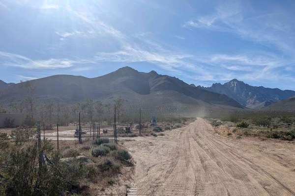
Grapevine Canyon Road - BLM SE128
This seasonally graded two-vehicle wide sandy route starts on the feeder road accessible right off Highway 395. Heading west into Grapevine Canyon, the Eastern Sierra Mountains serve as your dramatic backdrop. Whoops and ruts punctuate the sandy surface while runoff ruts appear throughout the trail,...
Learn more about Grapevine Canyon Road - BLM SE128
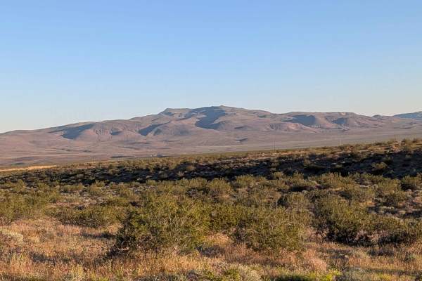
BLM LAP Highway 178 South
Part of Jawbone-Butterbredt BLM, this route follows large power lines for reliable navigation reference while running parallel to Highway 14. Lots of washboards create constant jarring throughout the journey. Various sections feature ruts ranging from 12 to 18 inches deep, creating serious vertical ...
Learn more about BLM LAP Highway 178 South
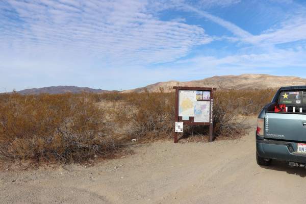
Iron Canyon EP21
Uneven and rutted dirt trail with loose rocks and sandy washes. Use caution, some washes are narrow. Potential for mud holes and water crossings less than a foot deep. There are trail obstacles of up to a foot including sharp ledges and steep grades. Trail is typically one vehicle wide with places t...
Learn more about Iron Canyon EP21
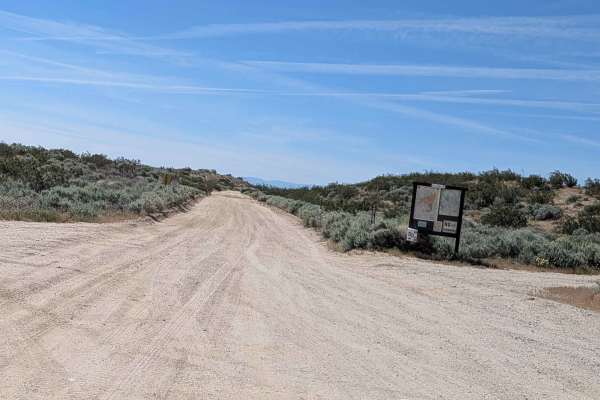
BLM LA2 Highway 178 South
Starting off Highway 178 with immediate views of Robbers Roost towering at 4,200 feet, this sandy 1 to 2.5 vehicle wide route serves as an alternative to the aqueduct route. Ruts, off camber sections, and uneven sections appear along the trail creating varied obstacles. Running through a limited use...
Learn more about BLM LA2 Highway 178 South
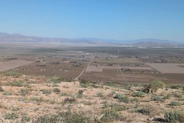
BLM SE143
Starting in Short Canyon, this route gradually leaves the canyon floor and heads up toward a shelf road perched above. Hard pack sand with embedded rocks forms the initial surface as Joshua trees appear along the trail. The route runs parallel to the Aqueduct Trail, which eventually merges with this...
Learn more about BLM SE143
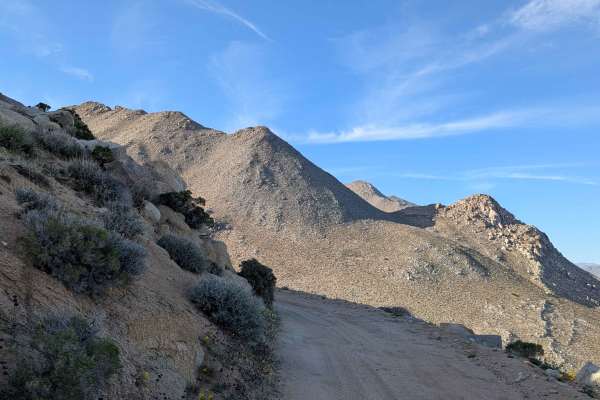
Aquaduct Service Road Grapevine - BLM LA1
Starting off BLM SE120 near Grapevine Canyon Road, this sand and gravel road runs just over one vehicle wide while traveling mostly on a shelf road perched high above the valley below. Serving as access to the LADWP aqueduct system on BLM land, the route delivers stunning views of valleys below and ...
Learn more about Aquaduct Service Road Grapevine - BLM LA1
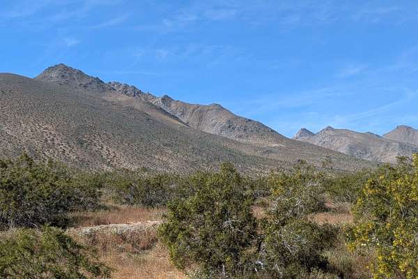
BLM LAP Grapevine Canyon
Following power lines for a reliable navigation reference, this sandy route navigates terrain punctuated with ruts, off-camber sections, and uneven spots, creating varied challenges. Great views unfold of Sand Canyon in the Eastern Sierra Mountains, with Ridgecrest visible and mountain ranges to the...
Learn more about BLM LAP Grapevine Canyon
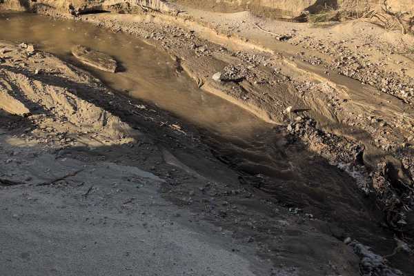
BLM LAP No Name Canyon
Following double power lines for navigation reference, this mostly sandy route starts near Sand Canyon and travels through No Name Canyon. Occasional rocks appear in the middle of the trail, requiring attention and line selection. Sand gets progressively deeper as you head east, transforming tractio...
Learn more about BLM LAP No Name Canyon
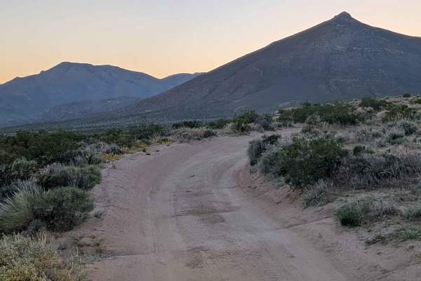
Cow Heaven Canyon Road BLM SC51
Starting at Highway 14 at Robbers Roost Mini Mart with public bathrooms, this sandy out-and-back trail heads to Cow Heaven Canyon on BLM limited-use land, requiring staying on designated trails. Fine sand surface can be deep at times. The trail crosses BLM LAP and LA1 routes. Great views unfold of E...
Learn more about Cow Heaven Canyon Road BLM SC51
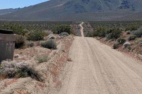
Aquaduct Service Road Grapevine Canyon - BLM LA2
This 1.5 to 2 vehicle wide route alternates between loose sand and packed sand surfaces, creating variable traction. Runoff ruts up to 6-8 inches deep cut the trail sides, requiring awareness to avoid catching wheels. The trail is lined with creosote bushes, smoke trees, and other flora, including b...
Learn more about Aquaduct Service Road Grapevine Canyon - BLM LA2
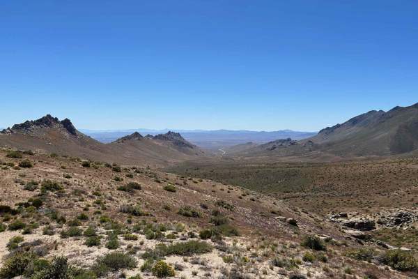
Buena Vista Canyon
This is a fun route in Indian Wells Canyon. This route includes the Nadeau Magnolia Mine and an amazing rocky peak overlooking the canyon below. This is the northern route that takes you through several water crossings from the natural spring that flows down the canyon. Taking this route up the cany...
Learn more about Buena Vista Canyon
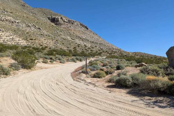
BLM SE115
This loose sand trail transitions to rockier surface as you climb a shelf road along a cliff up the mountain edge. Climbing 600 feet in just under 2 miles creates serious grades with stunning views of the valley below stretching to Ridgecrest and mountains beyond. Dramatic rock formations punctuate ...
Learn more about BLM SE115
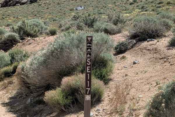
BLM 116
Starting in Sand Canyon, this single-wide narrow trail wastes no time climbing a shelf road above the canyon floor, creating dramatic views. Sandy surface with loose rocks forms the roadbed as you navigate various switchbacks and ruts ascending the shelf. Interesting rock formations punctuate the cl...
Learn more about BLM 116
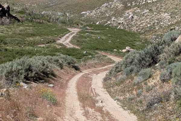
Sand Canyon Cliff Road - BLM 117
Climbing and dropping 300 feet in less than 2 miles, this shelf road clings to a cliff, delivering stunning views of the valley below, spreading to Ridgecrest, mountains in Death Valley, and beyond. The trail narrows at times where oncoming traffic becomes a serious concern, so watch for others comi...
Learn more about Sand Canyon Cliff Road - BLM 117
Beginner ATV trails near Inyokern, California
Explore ATV-friendly trails near you. These trails are accessible for vehicles up to 50 inches wide, perfect for ATVs and smaller off-road machines.
Nadeau-Magnolia Mine
This is a fun ride up the canyon from Indian Wells Brewery that takes you to the Nadeau-Magnolia Mine. This is one of the few abandoned mine sites that still maintains its historical charm. The road up is a pretty easy climb, with only a few ruts here and there. Pack a lunch and enjoy the views.
Learn more about Nadeau-Magnolia Mine
Short Canyon Road - BLM SE138
Starting off the Highway 395 feeder south of Brady's Mini Mart, this connector delivers you to the trail accessing Short Canyon Trailhead as well as other trails in the area. Sandy surface alternates between loose and hard-packed sections, creating variable traction conditions. Vegetation mixes creo...
Learn more about Short Canyon Road - BLM SE138
BLM SE125
Starting off BLM SE138, this sandy route features lots of off-camber sections, ruts, and articulating whoops while going up and down small hills in decidedly non-flat terrain that will test your suspension thoroughly. The trail crosses BLM SE137 and Grapevine Canyon Road before terminating on the no...
Learn more about BLM SE125
Leliter Road - BLM SE137
Starting on the feeder road off Highway 395 north of Brady's Mini Mart, this sandy alternative route heads west toward Short Canyon, serving as another option to reach Short Canyon Trailhead beyond BLM SE139. The trail crosses trails LAP and LA2 along its path. Thick desert flora lines the route, in...
Learn more about Leliter Road - BLM SE137
Beginner UTV/side-by-side trails near Inyokern, California
Find UTV and side-by-side trails near you. These trails accommodate vehicles up to 60 inches wide, ideal for UTVs, side-by-sides, and wider off-road rigs.
Nadeau-Magnolia Mine
This is a fun ride up the canyon from Indian Wells Brewery that takes you to the Nadeau-Magnolia Mine. This is one of the few abandoned mine sites that still maintains its historical charm. The road up is a pretty easy climb, with only a few ruts here and there. Pack a lunch and enjoy the views.
Learn more about Nadeau-Magnolia Mine
Short Canyon Road - BLM SE138
Starting off the Highway 395 feeder south of Brady's Mini Mart, this connector delivers you to the trail accessing Short Canyon Trailhead as well as other trails in the area. Sandy surface alternates between loose and hard-packed sections, creating variable traction conditions. Vegetation mixes creo...
Learn more about Short Canyon Road - BLM SE138
BLM SE125
Starting off BLM SE138, this sandy route features lots of off-camber sections, ruts, and articulating whoops while going up and down small hills in decidedly non-flat terrain that will test your suspension thoroughly. The trail crosses BLM SE137 and Grapevine Canyon Road before terminating on the no...
Learn more about BLM SE125
Leliter Road - BLM SE137
Starting on the feeder road off Highway 395 north of Brady's Mini Mart, this sandy alternative route heads west toward Short Canyon, serving as another option to reach Short Canyon Trailhead beyond BLM SE139. The trail crosses trails LAP and LA2 along its path. Thick desert flora lines the route, in...
Learn more about Leliter Road - BLM SE137
The onX Offroad Difference
onX Offroad combines trail photos, descriptions, difficulty ratings, width restrictions, seasonality, and more in a user-friendly interface. Available on all devices, with offline access and full compatibility with CarPlay and Android Auto. Discover what you're missing today!
Open Trail Map