
Beginner Off-Road Trails
Near Inglewood-Finn Hill, Washington
Explore All Beginner Trails Near Inglewood-Finn Hill, Washington
Beginner Off-Road Trails Near Inglewood-Finn Hill, Washington
Discover the best beginner-friendly off-road trails near you. These easier, lower-rated trails are a great place to start — browse trail maps, check difficulty ratings, and find your next adventure.
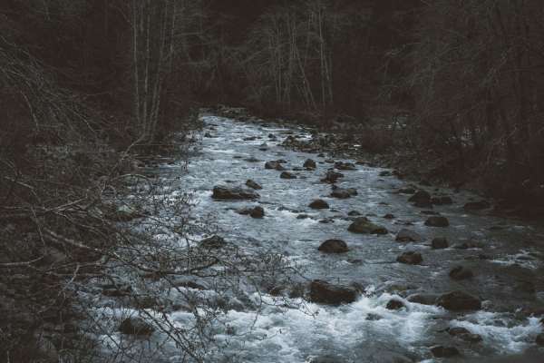
North Fork Road
This road takes you from Columbia Falls to the Canadian Border. This is a fun drive with lots of great stops, and two entrances to Glacier National Park. The most popular stop is Polebridge, MT, where you can try a huckleberry bear claw from the world famous Polebridge Mercantile. You can also enter...
Learn more about North Fork Road
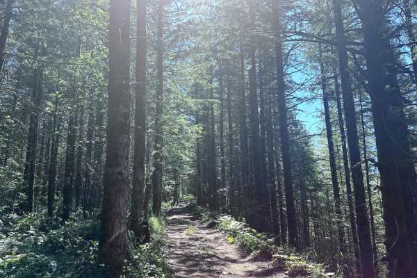
Wandering View
This 1-mile point-to-point trail takes you along the border of Reiter Foothills State Forest. This trail is easily passable by stock 4x4 vehicles. There is a steep section with loose rocks, dirt and mud holes less than 12" in depth. There are some good views of the surrounding mountains from this tr...
Learn more about Wandering View
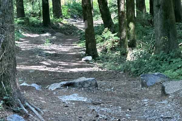
Old School
This short point-to-point trail is one of the easy trails within the Reiter Foothills 4X4 area. This trail is great for the beginner off-roader. The obstacles are less than 12" in height and passable by stock 4X4 vehicles. A great trail combination is to begin on Easy Peasy, then head to Old School ...
Learn more about Old School
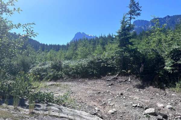
Easy Green
This short point-to-point trail is part of the easy trails for beginners within the Reiter Foothills 4X4 area. This trail connects the easy peasy trail to the wandering view trail. The gatekeepers at both ends of this trail are the most difficult part with rock obstacles up to 12" in height. This tr...
Learn more about Easy Green
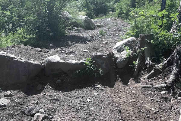
Ups & Downs
This short point-to-point trail is part of the Reiter Foothills 4X4 area. This trail is primarily a narrow dirt road with few obstacles. One obstacle is an approximately 12" rock ledge where the Upper Break It trail connects to this one. The other obstacle is a gatekeeper with rocks up to 12" in hei...
Learn more about Ups & Downs
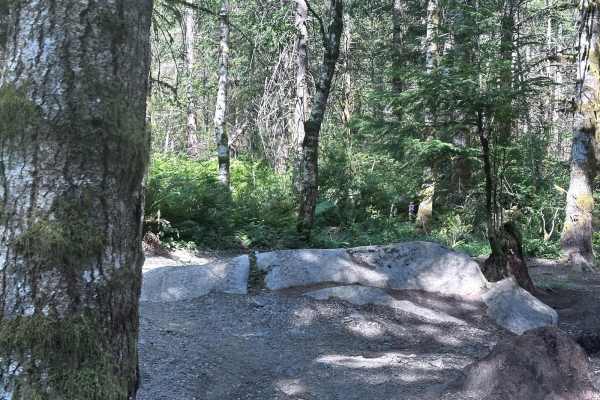
Lovers Lane
This short point-to-point trail is part of the Reiter Foothills 4X4 area and is great for beginners. Though this trail has few obstacles it does have several tight turns between trees, stumps, and rocks. Lovers Lane has many opportunities for your rig to kiss the trees. Longer wheelbase vehicles wil...
Learn more about Lovers Lane
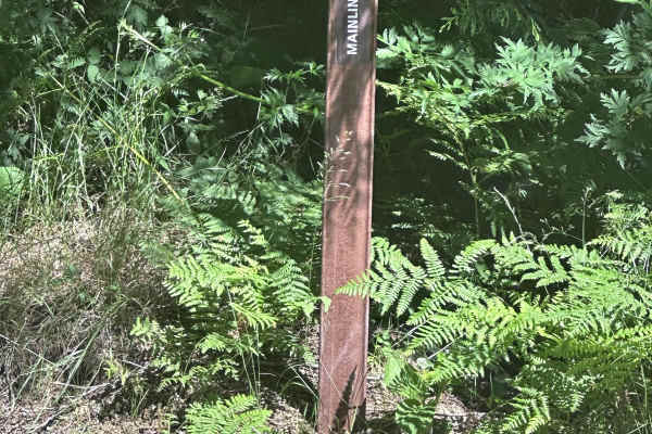
Mainline Easy
This short point-to-point trail starts at Parking Area 2 and connects to the Twizzler Trail. The trail starts with a small drop-in and then begins winding through the forest. There are several optional obstacles and routes along the Mainline Easy trail that are more difficult. This trail is passable...
Learn more about Mainline Easy
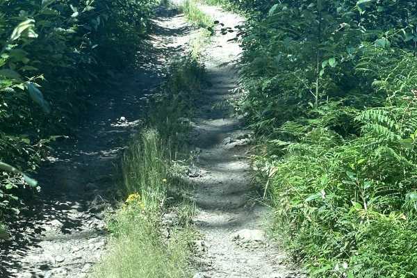
Twizzler
This 1.3 mile point-to-point route is part of the Reiter OHV area trail system. This is one of the easier trail within Reiter. The trail twists through trees and stumps, longer wheelbase vehicles will require multi point turns to negotiate. There are several optional rock obstacles along this trail ...
Learn more about Twizzler
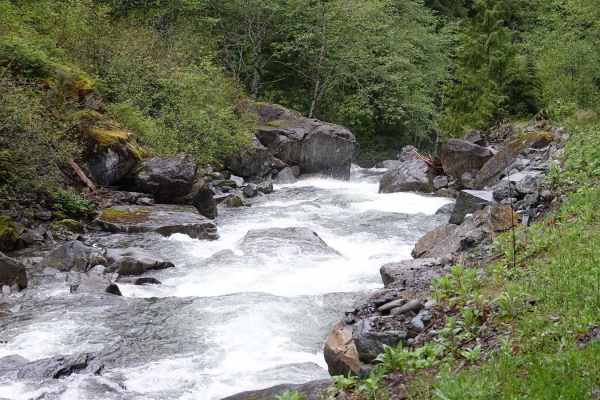
T57
Crossing the bridge at the end of North Fork Road opens up several trails and riverside camping spots for the more adventurous. The first right leads to fire road T57, which follows the river on the north side up to a washed-out wooden bridge and waterfall. In the springtime, the river runs high wit...
Learn more about T57
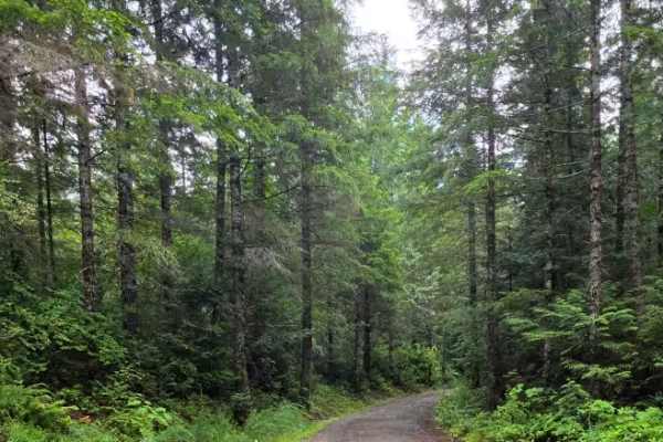
Spencer Creek
An easy, stock-friendly gravel route branching off Frenchman Point and Buckhorn Road. This trail features numerous side spurs to explore beneath the power lines, alongside stunning panoramic views of Dabob Bay. With plenty of spacious pull-offs, it’s an ideal spot to park for a scenic lunch or set u...
Learn more about Spencer Creek
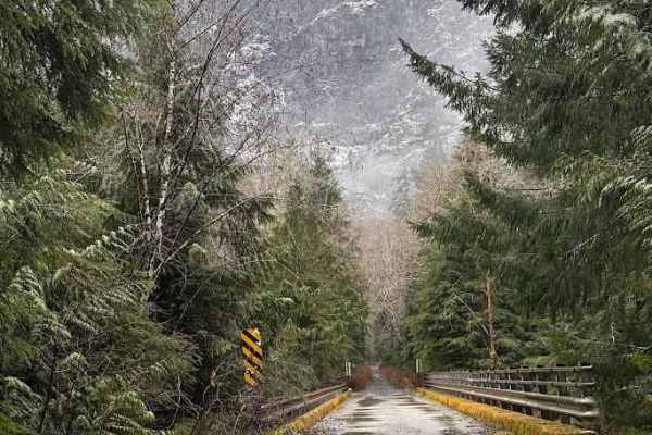
North Fork Road - FS 573
This route used to take you up to Black Hawk Mine, but is since washed out. It may be repaired in the future to take you up to the very top. However, this is still a fun trail to test some easy 4X4 techniques and modifications, with dispersed camping and shooting areas along the way.
Learn more about North Fork Road - FS 573
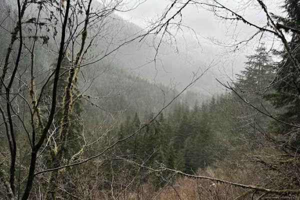
Illinois - FS 5731
Illinois (FS 5731) branches off the North Fork Snoqualmie corridor and quickly narrows into a classic, unmaintained Cascade backroad. The surface is mostly compact dirt with embedded rock, loose gravel, and the occasional rut or washout. As you climb, the road winds through dense second-growth and p...
Learn more about Illinois - FS 5731
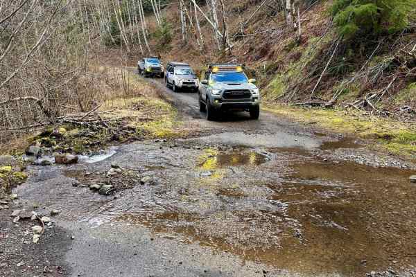
Rocky Brook Road
Rocky Brook Road starts on the 101 and will loop you back to the 101 via Dosewallips Road to the town of Brinnon. This road has some nice pull-over camp spots along the route and plenty of small waterfalls coming from the hillside. At the 2.2-mile mark, there is a water crossing known as the "Mile a...
Learn more about Rocky Brook Road

Overlook of Seattle Campsite
This trail is hardly a trail but more of some backwoods exploring through an old logging and quarry site. The best part of this loop is the campsite; it is well worth the short trek. Due note the trail is a skinny one-lane road up, so say goodbye to that scratch-less paint job you are rocking, and h...
Learn more about Overlook of Seattle Campsite
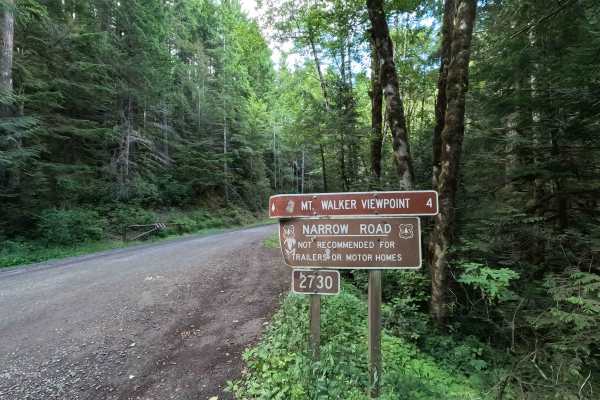
Mount Walker Trail - FS 2730
Mount Walker Trail is a 4.0-mile out-and-back route that climbs to one of the most scenic viewpoints on the Olympic Peninsula. The single-lane gravel road winds up the mountainside through dense forest before reaching the Mount Walker overlook, which offers sweeping views of Hood Canal, the Cascade ...
Learn more about Mount Walker Trail - FS 2730
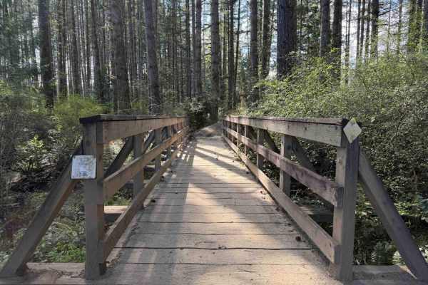
Overland Trail East
NOTE: Tahuya ORV Park Trails are two-way trails and have several blind corners. Keep your eyes up! There are also several single-track trails that spur off the edge to keep an eye out for crossing traffic. This section of the trail starts on Sandhills Road and ends on Sandhills Road. This is the Eas...
Learn more about Overland Trail East
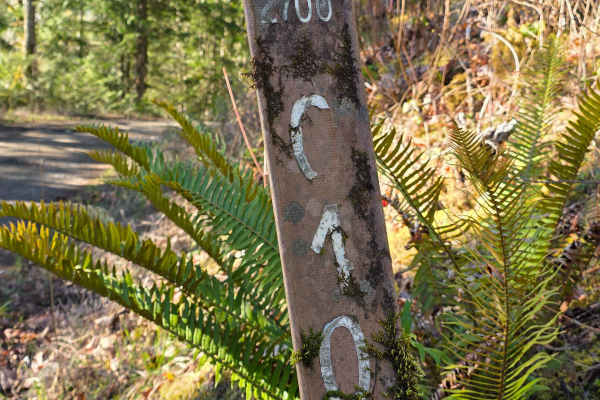
Big Quil Dam Road
This wide, well-maintained gravel road winds downhill through dense evergreen forest, offering frequent open views of the Quilcene River below. It is suitable for all vehicles, with occasional loose gravel and gentle switchbacks, and ends at a spacious turnaround just before a private dam; please re...
Learn more about Big Quil Dam Road
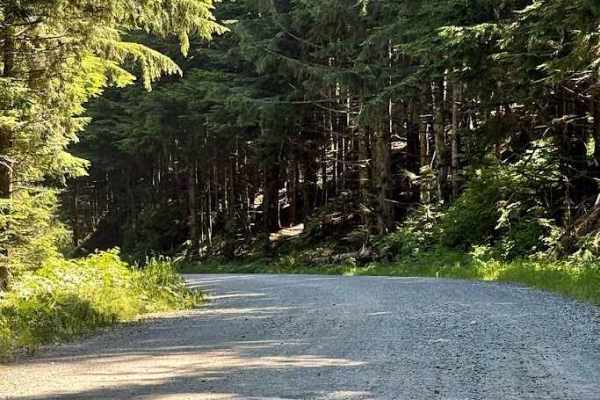
Mount Pilchuck - FS 4200
Forest Service Road 4200 to the Mount Pilchuck Trailhead is a scenic and enjoyable mountain drive in the Mount Baker-Snoqualmie National Forest. The road is primarily well-maintained gravel with some paved sections near the upper trailhead, making it accessible for most high-clearance vehicles and S...
Learn more about Mount Pilchuck - FS 4200
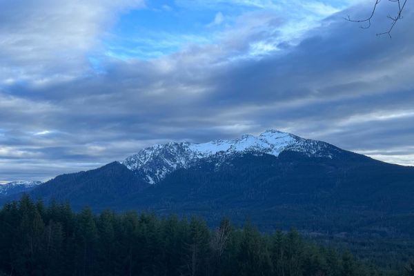
TUPSO Pass Mountain Stroll
During the summer months, this is an easy gravel road up to Tupso Pass. In the winter months, it can become a bit muddy and snowy on the trail. This is a nice scenic trail to go up and have lunch on the mountain or just get out in nature. There are beautiful mountain views. There isn't really any ca...
Learn more about TUPSO Pass Mountain Stroll
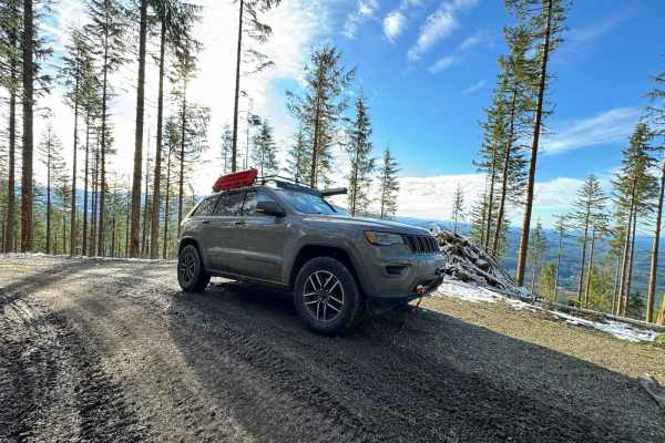
Green Mountain Road/NF-011
Green Mountain Road starts as a well-groomed dirt/ gravel track with a spectacular forest surround. This is a popular location for people to come shooting, with many small pullouts along the first half of the trail. Please be responsible and pick up your casings afterward! It climbs in elevation rat...
Learn more about Green Mountain Road/NF-011
Beginner ATV trails near Inglewood-Finn Hill, Washington
Explore ATV-friendly trails near you. These trails are accessible for vehicles up to 50 inches wide, perfect for ATVs and smaller off-road machines.
North Fork Road
This road takes you from Columbia Falls to the Canadian Border. This is a fun drive with lots of great stops, and two entrances to Glacier National Park. The most popular stop is Polebridge, MT, where you can try a huckleberry bear claw from the world famous Polebridge Mercantile. You can also enter...
Learn more about North Fork Road
North Fork Road - FS 573
This route used to take you up to Black Hawk Mine, but is since washed out. It may be repaired in the future to take you up to the very top. However, this is still a fun trail to test some easy 4X4 techniques and modifications, with dispersed camping and shooting areas along the way.
Learn more about North Fork Road - FS 573
Illinois - FS 5731
Illinois (FS 5731) branches off the North Fork Snoqualmie corridor and quickly narrows into a classic, unmaintained Cascade backroad. The surface is mostly compact dirt with embedded rock, loose gravel, and the occasional rut or washout. As you climb, the road winds through dense second-growth and p...
Learn more about Illinois - FS 5731
Overlook of Seattle Campsite
This trail is hardly a trail but more of some backwoods exploring through an old logging and quarry site. The best part of this loop is the campsite; it is well worth the short trek. Due note the trail is a skinny one-lane road up, so say goodbye to that scratch-less paint job you are rocking, and h...
Learn more about Overlook of Seattle Campsite
Beginner UTV/side-by-side trails near Inglewood-Finn Hill, Washington
Find UTV and side-by-side trails near you. These trails accommodate vehicles up to 60 inches wide, ideal for UTVs, side-by-sides, and wider off-road rigs.
Wandering View
This 1-mile point-to-point trail takes you along the border of Reiter Foothills State Forest. This trail is easily passable by stock 4x4 vehicles. There is a steep section with loose rocks, dirt and mud holes less than 12" in depth. There are some good views of the surrounding mountains from this tr...
Learn more about Wandering View
Old School
This short point-to-point trail is one of the easy trails within the Reiter Foothills 4X4 area. This trail is great for the beginner off-roader. The obstacles are less than 12" in height and passable by stock 4X4 vehicles. A great trail combination is to begin on Easy Peasy, then head to Old School ...
Learn more about Old School
Easy Green
This short point-to-point trail is part of the easy trails for beginners within the Reiter Foothills 4X4 area. This trail connects the easy peasy trail to the wandering view trail. The gatekeepers at both ends of this trail are the most difficult part with rock obstacles up to 12" in height. This tr...
Learn more about Easy Green
Ups & Downs
This short point-to-point trail is part of the Reiter Foothills 4X4 area. This trail is primarily a narrow dirt road with few obstacles. One obstacle is an approximately 12" rock ledge where the Upper Break It trail connects to this one. The other obstacle is a gatekeeper with rocks up to 12" in hei...
Learn more about Ups & Downs
The onX Offroad Difference
onX Offroad combines trail photos, descriptions, difficulty ratings, width restrictions, seasonality, and more in a user-friendly interface. Available on all devices, with offline access and full compatibility with CarPlay and Android Auto. Discover what you're missing today!
Open Trail Map