
Beginner Off-Road Trails
Near Hobson City, Alabama
Explore All Beginner Trails Near Hobson City, Alabama
Beginner Off-Road Trails Near Hobson City, Alabama
Discover the best beginner-friendly off-road trails near you. These easier, lower-rated trails are a great place to start — browse trail maps, check difficulty ratings, and find your next adventure.
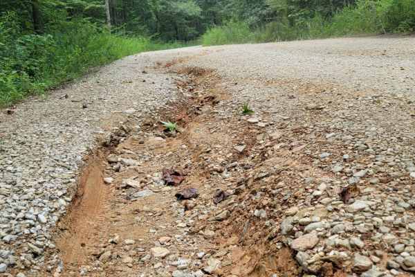
USFSR #643 Hopeful Stephens St
USFSR #643 Hopeful Stephens St is the main trail into the Kentuck OHV Trail System (See USFSR #643C). It is a seasonally maintained road but will quickly degrade with heavy traffic and trailers. There are quite a few blind turns and the trail crosses over the ATV trails in many places. Maintain slow...
Learn more about USFSR #643 Hopeful Stephens St
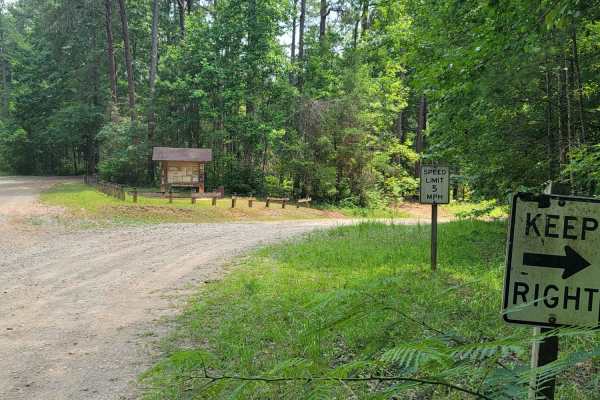
USFSR #643C Kentuck OHV Trailhead
USFSR #643C Kentuck OHV Trailhead is a short, 0.6-mile dirt connector trail in the Talladega National Forest designed for ATVs, dirt bikes, and mountain bikes seeking direct access to the popular Kentuck OHV trail system. This easy route features minimal elevation changes, ranging from 846 feet to 8...
Learn more about USFSR #643C Kentuck OHV Trailhead
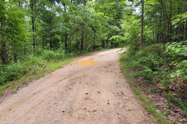
USFSR #644 Kentuck Mtwy
USFSR #644 Kentuck Mtwy is an easy, scenic 4.7-mile ridge-top dirt route in the Talladega National Forest perfect for beginners, stock four-wheel-drive vehicles, and families seeking a relaxed drive. Starting on the eastern end at Kentuck Road, this well-maintained forest service road traverses the ...
Learn more about USFSR #644 Kentuck Mtwy
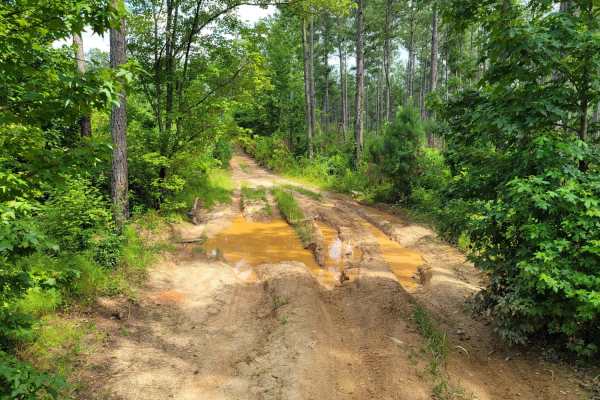
USFSR #642K Old Wade Mtwy
USFSR #642K Old Wade Mtwy is a heavily traveled gravel route through a pine thicket of dense vegetation. It begins at Salt Creek Rd in Talladega County and ends in a large clearing before you enter into Cleburne County. The local traffic has consistently made additional paths to connect 642K to 642,...
Learn more about USFSR #642K Old Wade Mtwy

USFSR #642 Wade Mtwy
USFSR #642 Wade Mtwy begins on the Easternmost side at USFSR #651 Duck Nest. The entirety of this trail that follows the USFS Motor Vehicle Use Map is an easy trail. It gives beautiful views of Cheaha State Park- Alabama's highest point of elevation. It crosses over the power lines to continue on to...
Learn more about USFSR #642 Wade Mtwy
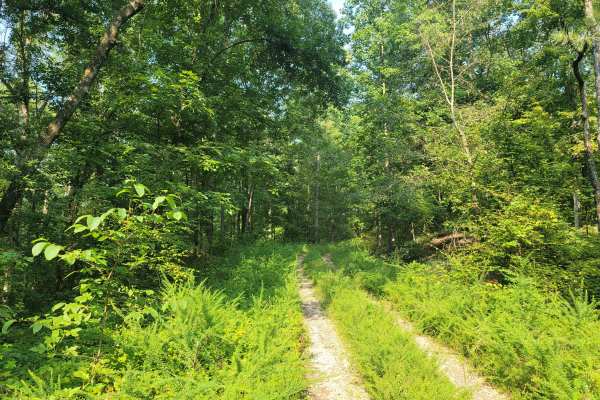
USFSR #518 Crane Motorway
USFSR #518 Crane Motorway is a popular trail for hunters as offers lots of hardwoods and pine thickets throughout. The first half of the trail is fairly open, but due to high traffic it has potential for deeper mud holes. There are shorter trails that spur off this trail but only one is actually ope...
Learn more about USFSR #518 Crane Motorway

Duck Nest Motorway - FS 651
Good mix of gravel and dirt. There are several beautiful creeks to pass over with one-lane bridges along the route. A few mud holes are possible if it is wet. Some washboarding on the road towards the north side of the road. The dispersed camping labeled on OnX is not a great campsite, but it could ...
Learn more about Duck Nest Motorway - FS 651

Foothill's Cutover
Foothill's Cutover is a side trail that spurs off of USFSR #512A. It is not accessible from the opposite end, as it dead-ends at private property. It is a dense section of the Talladega National Forest that isn't traveled enough to receive a dedicated trail name on the Motor Vehicle Use Map but is c...
Learn more about Foothill's Cutover
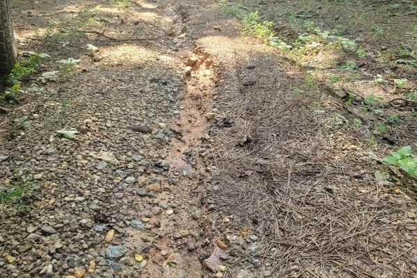
USFSR #519A Interstate
Looking for a place to cool off but still be close to civilization? This one's for you. USFSR #519A Interstate is exactly what is says. It is a good spot for a quick picnic in the intense Alabama summers. It runs parallel to I20, and close to the AL HWY 281 Overpass. The traffic hums as it flows by,...
Learn more about USFSR #519A Interstate
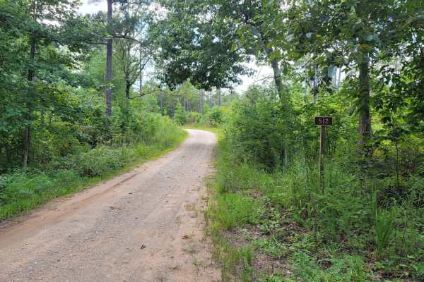
USFSR #512 Ivory Mountain
USFSR #512 Ivory Mountain is a small summit inside the Talladega National Forest and now hosts the spring walk in the Turkey hunt. This area features gradual rolling hills with many trails cut throughout it. It begins on USFSR #591 at a large "Y" shaped opening. This trail is an easy trail that stro...
Learn more about USFSR #512 Ivory Mountain
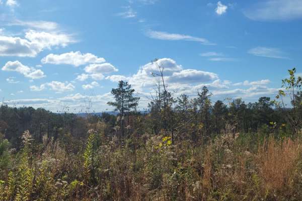
USFSR #523
This route is most common to the local communities as a back way into the management area of the Talladega National Forest. It is not maintained often. It's common to see up to 6" ruts in the trail, along with an abundance of leaf litter covering the trail and brush growing into the trailway. It beg...
Learn more about USFSR #523
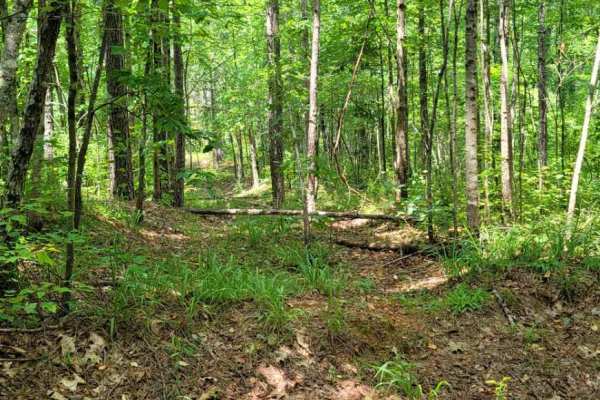
USFSR #645C Three Mile Branch
USFSR #645C Three Mile Branch is more of a side spur trail that starts at USFSR #645 Tree Farm. While a shorter trail it does take a little longer to complete due to the overgrowth and how tight the trail is. There are a few off camber spots where water run off has created a rut that most full size ...
Learn more about USFSR #645C Three Mile Branch
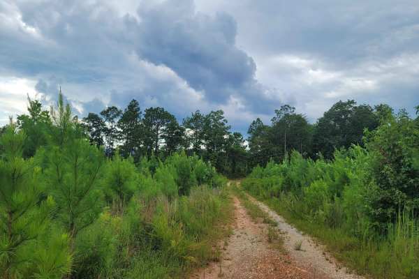
USFSR #512A
USFSR #512A is a seasonally open trail that gives the right of way to private hunting land in the first section. USFSR #51A begins off USFSR #512 and rides along North Shinbone Ridge, just outside the small community of Shinbone Valley. This trail is part of a seasonal payment unit that is often cle...
Learn more about USFSR #512A
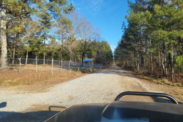
USFSR #522
USFSR #522 is a scenic and accessible 3.4-mile forest road providing a convenient entry and exit point to the Choccolocco Wildlife Management Area within Alabama's Talladega National Forest. Ideal for beginners and those looking for a relaxed drive, this route transitions from State Route 9 in the w...
Learn more about USFSR #522
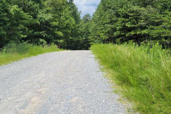
USFSR #600-3 Old Skyway
USFSR #600-3 Old Skyway is where everything is tied together. This short trail, while flat and easy, is riddled with potholes. This trail could see any type of vehicle from mountain bikes to class A campers, so be on the lookout for other people. It is seasonally maintained so more gravel is brought...
Learn more about USFSR #600-3 Old Skyway
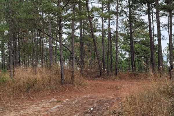
USFSR #500
USFSR #500 is considered the "primary" road that runs from the southern end; starting at Skyline Drive/AL HWY 281/US HWY 78 and ends at the Northern part in the city of Piedmont in Calhoun County. This primarily gravel road will take you to any other road in the Choccolocco Wildlife Management Area ...
Learn more about USFSR #500
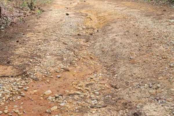
USFSR #645 Tree Farm
USFSR #5645 Tree Farm is a seasonal route of varying degrees. It changes from a standard gravel road to a silt-like swamp, back to a gravel road, then back to mountainous terrain. This beautiful trail offers views of a diverse Alabama forest. There are a few mud holes with soft bottoms, which can be...
Learn more about USFSR #645 Tree Farm

USFSR #591 Goldmine
USFSR #591 Goldmine is an unpaved route winding through the scenic Talladega National Forest, offering an accessible off-road experience for drivers seeking a quick backcountry excursion. Spanning approximately 3.5 miles with minor elevation changes, the trail begins off Cleburne County Road 11 near...
Learn more about USFSR #591 Goldmine
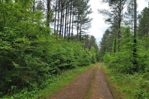
Rally Run
Rally Run at Morris Mountain ORV park is a smooth cruise around the outer edge of the park. This grassy trail connects Beer Store to Turner Over and the connector trail Taxi cab. The trail is wide and almost like pavement, it's so hard-packed. Rally Run would be a great trail to let the throttle ope...
Learn more about Rally Run
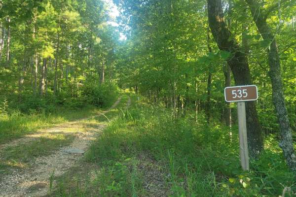
535 - Campbell
Trail 535 - Campbell is a seasonally open trail (10/01-04/01) mostly known to local hunters and hikers for the gentle rolling hills and open clear cuts that allow wildlife to come out into more open areas. These clear-cut areas also open up well-maintained trails for the avid off-road enthusiast to ...
Learn more about 535 - Campbell
Beginner ATV trails near Hobson City, Alabama
Explore ATV-friendly trails near you. These trails are accessible for vehicles up to 50 inches wide, perfect for ATVs and smaller off-road machines.
USFSR #643C Kentuck OHV Trailhead
USFSR #643C Kentuck OHV Trailhead is a short, 0.6-mile dirt connector trail in the Talladega National Forest designed for ATVs, dirt bikes, and mountain bikes seeking direct access to the popular Kentuck OHV trail system. This easy route features minimal elevation changes, ranging from 846 feet to 8...
Learn more about USFSR #643C Kentuck OHV Trailhead
USFSR #644 Kentuck Mtwy
USFSR #644 Kentuck Mtwy is an easy, scenic 4.7-mile ridge-top dirt route in the Talladega National Forest perfect for beginners, stock four-wheel-drive vehicles, and families seeking a relaxed drive. Starting on the eastern end at Kentuck Road, this well-maintained forest service road traverses the ...
Learn more about USFSR #644 Kentuck Mtwy
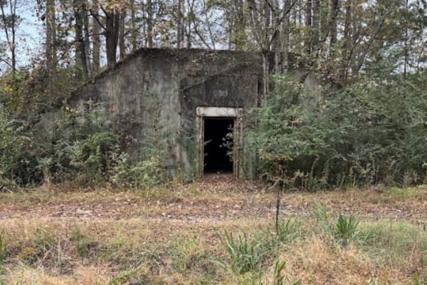
Annex Road / 11
This route will take you from the very front of the park, all the way to the back edge of the park. This is mostly gravel road with several rental bunkers along the route. At the end of this route, you can turn left to take you to the start of trail 30, which is one of the most popular trails here, ...
Learn more about Annex Road / 11
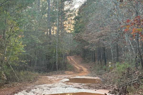
28
Trail 28 is a very peaceful and easy trail to take you back to the grid. Pretty flat in most areas with a handful of mudholes, but nothing major. This is mostly a dirt trail that would be good in any season and for any vehicle. It does cut across Trail 42 at around the halfway point.
Learn more about 28
Beginner UTV/side-by-side trails near Hobson City, Alabama
Find UTV and side-by-side trails near you. These trails accommodate vehicles up to 60 inches wide, ideal for UTVs, side-by-sides, and wider off-road rigs.
Rally Run
Rally Run at Morris Mountain ORV park is a smooth cruise around the outer edge of the park. This grassy trail connects Beer Store to Turner Over and the connector trail Taxi cab. The trail is wide and almost like pavement, it's so hard-packed. Rally Run would be a great trail to let the throttle ope...
Learn more about Rally Run
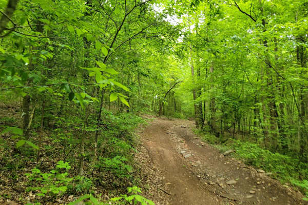
Taxi Cab
Taxi Cab is a fitting name for this trail as it provides a fast route to the more impressive trails Morris Mountain ORV Park offers. This easy trail does not pose much of a challenge other than watching out for others rolling off the nearby trails! Taxi Cab begins at the intersection of Turner Over ...
Learn more about Taxi Cab
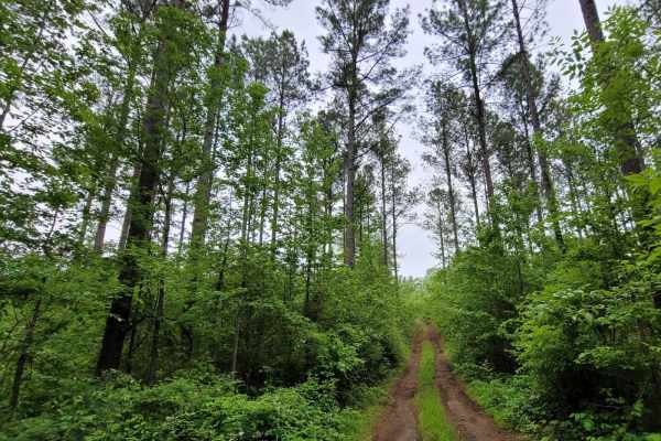
Tiny Nipples
Tiny Nipples is another easy track to linger around and enjoy nature for those who do not want to risk breaking something or are early in their vehicle build. This trail only features one obstacle, which is a small hard-bottomed mud hole. The rest of the trail is hard-packed dirt with long runways.
Learn more about Tiny Nipples
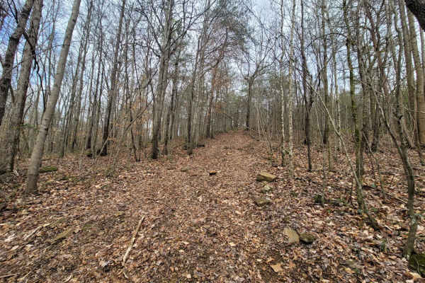
Hornets Nest Bypass
Hornets Nest Bypass is one trail up from Hornets Nest. This trail starts on Taxi Cab and ends on a simpler section of Turner Over. Turner Over does give access to Flat Access at the top of the hill if you choose to skip Hornets Nest but still want to sit back and watch the fun from the top of the tr...
Learn more about Hornets Nest Bypass
The onX Offroad Difference
onX Offroad combines trail photos, descriptions, difficulty ratings, width restrictions, seasonality, and more in a user-friendly interface. Available on all devices, with offline access and full compatibility with CarPlay and Android Auto. Discover what you're missing today!
Open Trail Map