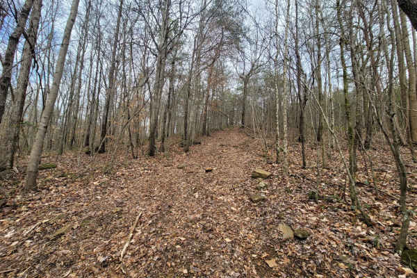
Trail Overview
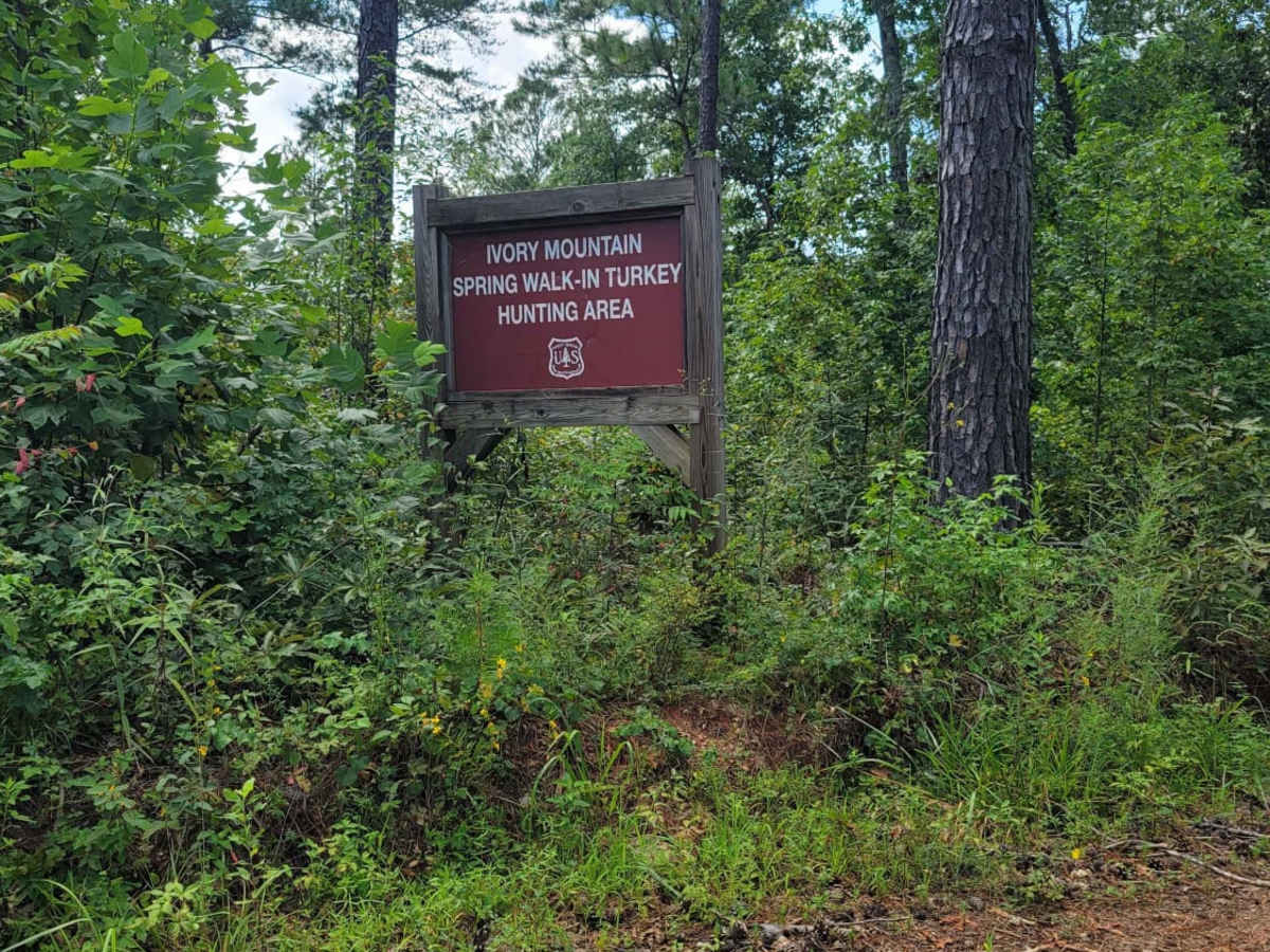
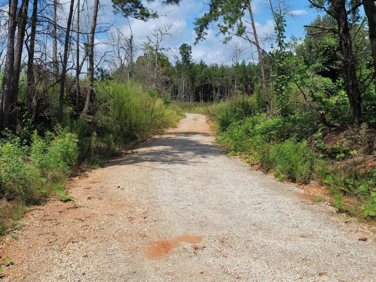
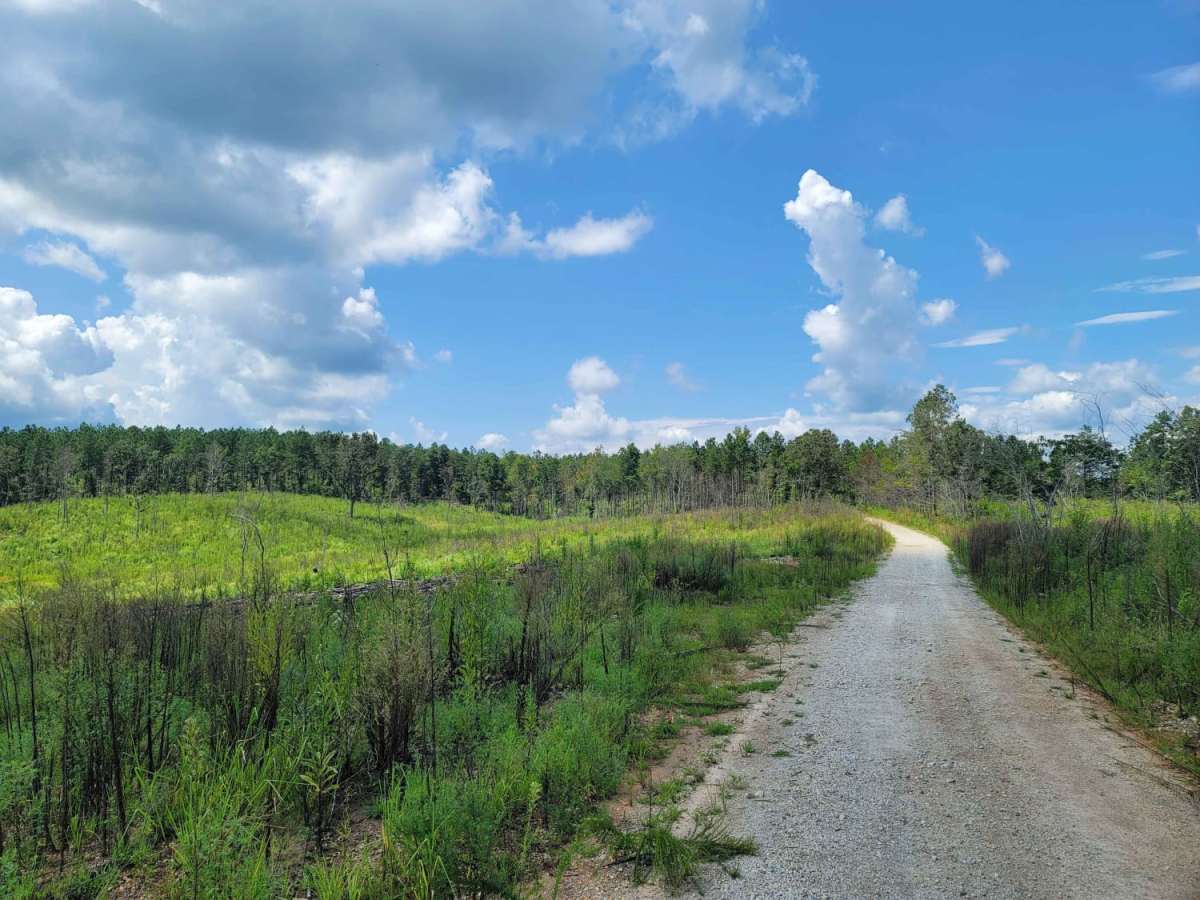
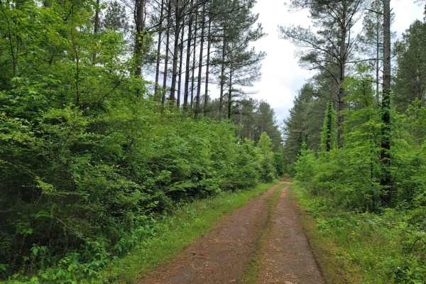
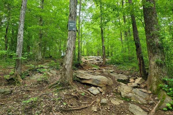
USFSR #591 Goldmine is an unpaved route winding through the scenic Talladega National Forest, offering an accessible off-road experience for drivers seeking a quick backcountry excursion. Spanning approximately 3.5 miles with minor elevation changes, the trail begins off Cleburne County Road 11 near Beth El Baptist Church, where the entrance is marked by a single mailbox and sits on a right of way flanked by private property. The initial southern half of the trail features a flat, easy-to-navigate dirt and gravel surface that is suitable for high-clearance two-wheel-drive vehicles. As the route progresses north past the junction with USFSR #512 Ivory Mountain, the terrain transitions into a slightly more challenging technical rating of 2, requiring higher clearance or four-wheel-drive under wetter conditions.
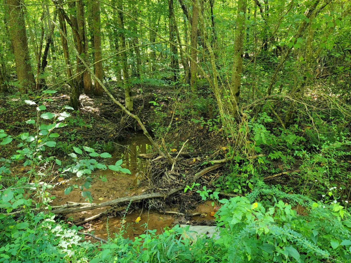
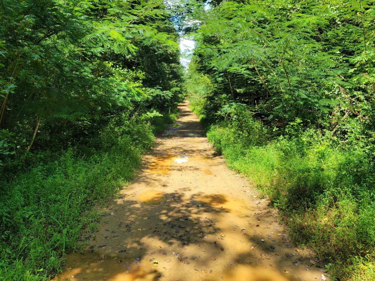
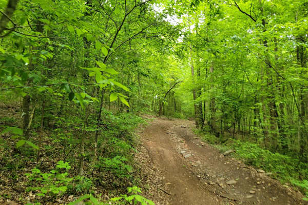
The northern portion of the trail is defined by a year-round creek runoff that flows directly down the center of the road, creating slight washouts and wide, shallow mud holes. Drivers of high-clearance four-wheel-drive vehicles, SxSs, and dirt bikes will easily navigate these minor obstacles, though caution is recommended after heavy rainfall when the mud holes can deepen. The trail ends on the northern end near private property boundaries in the small town of Able, making it a great point-to-point route or connection to other forest service roads in Cleburne County. While most stock sport utility vehicles and SxSs can complete the drive without issue, staying on the designated trail is essential to respect the surrounding private landowners.
Difficulty
On the Northern half of the trail, a creek constantly runs off the middle of the road year round. This causes slight washout, with a few spots with wide shallow mud holes.
Access Description
The southern entrance of USFSR #591 Goldmine crosses a right of way surrounded by private property on both sides. Users must stay on the designated route and respect private property boundaries, particularly near the northern terminus in the town of Able. The trail is managed by the U.S. Forest Service as part of the Talladega National Forest and is open to high-clearance vehicles, four-wheel-drive vehicles, and SxSs. No special permits are required, but general forest regulations apply.