Trail Overview
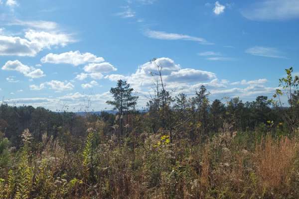
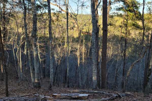
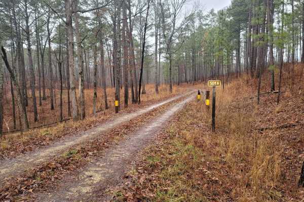
USFSR #522 is a scenic and accessible 3.4-mile forest road providing a convenient entry and exit point to the Choccolocco Wildlife Management Area within Alabama's Talladega National Forest. Ideal for beginners and those looking for a relaxed drive, this route transitions from State Route 9 in the west to USFSR #531 in the east, offering beautiful views of the surrounding dense woodland terrain. The trail climbs from an elevation of approximately 709 feet to a peak of 1,092 feet, with a cumulative elevation gain of around 623 feet. Although primarily consisting of a hard-packed gravel surface, drivers should expect an uneven roadbed with frequent potholes and occasional minor washouts, which are typical for active forest service corridors.
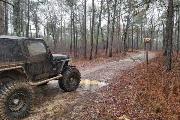
Because of its well-maintained status and solid foundation, high-clearance two-wheel-drive vehicles can easily navigate the entire length of the trail without difficulty. Four-wheel-drive is generally not required under normal operating conditions, making this route highly accessible for stock SUVs, light trucks, and SxSs. It is maintained nearly all year round, but wet weather can temporarily deepen potholes or worsen washouts along the clay and gravel mix. Navigating this route provides a gateway to deeper exploration within the national forest, making it a perfect starting point for longer backcountry adventures in the region.
Access Description
The route lies within the Talladega National Forest and provides entry to the Choccolocco Wildlife Management Area. While the road is maintained nearly year-round, drivers should check with the U.S. Forest Service or Alabama Wildlife and Freshwater Fisheries Division for seasonal closures, hunting season restrictions, or severe weather notices.



 Offroad