
Beginner Off-Road Trails
Near Grimsley, Tennessee
Explore All Beginner Trails Near Grimsley, Tennessee
Beginner Off-Road Trails Near Grimsley, Tennessee
Discover the best beginner-friendly off-road trails near you. These easier, lower-rated trails are a great place to start — browse trail maps, check difficulty ratings, and find your next adventure.
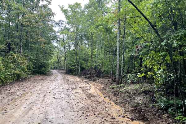
Myatt Creek Road
This well-maintained gravel road, mixed with sand, winds through the outskirts of the Catoosa Wildlife Management Area (WMA). Along this route, you'll pass through a site where a tornado struck in 2012. In the aftermath, the area was designated for a range of early plant succession management effort...
Learn more about Myatt Creek Road
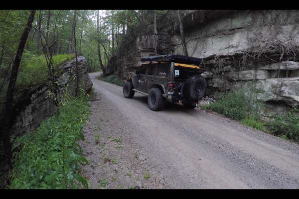
Potters Ford Road
Potters Ford Road winds its way through the heart of Catoosa Wildlife Management Area as a gentle gravel path perfect for a relaxed ride. This easygoing trail offers plenty to take in along the way—from towering rock walls to the free-flowing waters of the Obed River. Keep your eyes peeled for local...
Learn more about Potters Ford Road
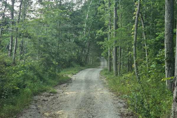
Zenith Road
This single lane gravel road is scenic with lots of pull offs for passing oncoming traffic, this peaceful gravel road takes you all the way back to the Zenith River Access. There is a small water crossing that anything lower than a Rav4 is not recommended for crossing, but you can park at the crossi...
Learn more about Zenith Road
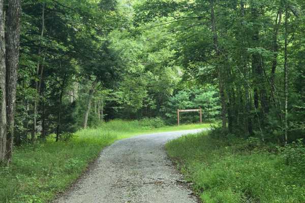
Joe Branch Road
This easy gravel road has some elevation gain and loss! It is well maintained and easy to pass oncoming traffic, this trail leads back to a picnic area that has parking for horse trailers as well as tieups for horses. While the road might not be shared with horses the picnic area may be. This is a n...
Learn more about Joe Branch Road
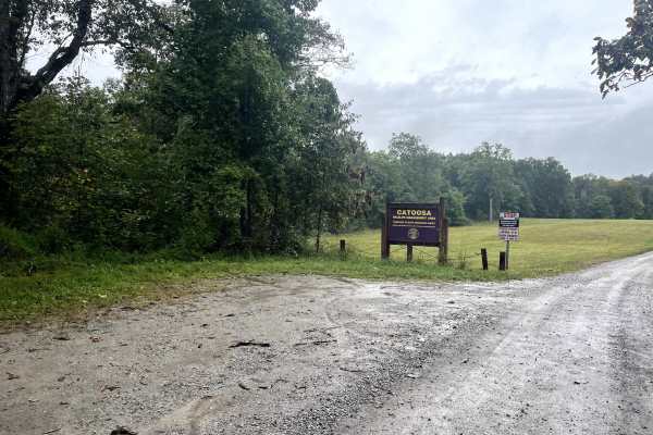
Otter Creek Road
Otter Creek Road is a well-maintained service road that takes you through the heart of Catoosa Wildlife Management Area (WMA). Along the route, you'll encounter numerous trails and side spurs perfect for further exploration. Watch for deer, turkeys, wild hogs, and the occasional black bear. The road...
Learn more about Otter Creek Road
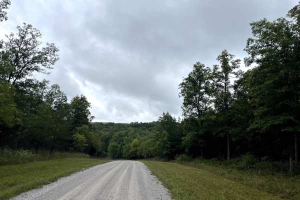
Hebbertburg Road
Hebbertburg Road is a well-maintained gravel road. However, at the end of the road, you'll come across a historic decommissioned bridge—a fascinating glimpse into the past. There is a creek crossing to get to Otter Creek Road on the other side. Just use best judgment, especially after heavy rains wh...
Learn more about Hebbertburg Road
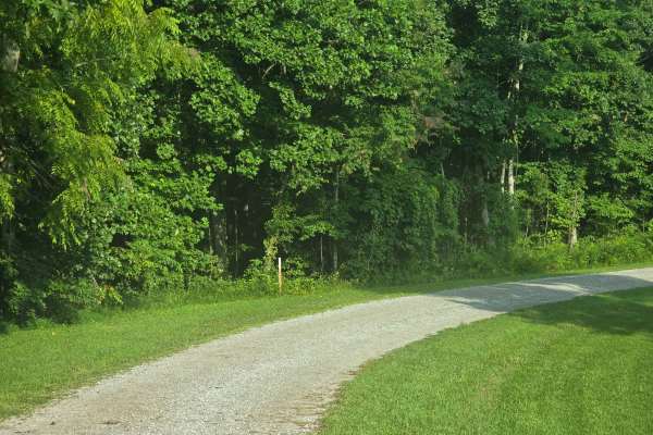
Gernt Road
This is a single lane road with very limited pull offs. It is a shared road with hikers, horses and vehicles so watch out! There are some mud ruts down this road but nothing major, so if you like getting your vehicle a little dirty go after a rain storm! This is a tight trail and dead ends into a ho...
Learn more about Gernt Road
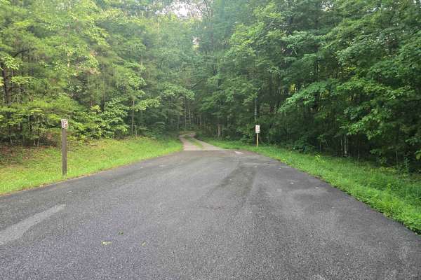
Gar Belvins Road
This is a single lane gravel road with very few pulloffs. There are hiking trails and horse trails along this road, and it dead ends into horse trails with places to tie up horses. There is nothing too challenging about this trail, but it is a scenic drive through the woods.
Learn more about Gar Belvins Road
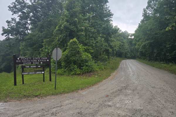
Divide Road
This is an easy gravel road. Mostly two-lane until you pass the road for the twin arches, and then it is a single lane. The first half has a lot of potholes, but nothing two-wheel drive can't avoid. Lots of Signage so you won't get lost! This road starts in Tennessee and continues across the state l...
Learn more about Divide Road
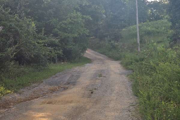
Hurricane Ridge Road
This once maintained gravel road has washed out a bit. The trail can get narrow in a few spots so if you value your paint job this isn't the trail for you. There are a few wash outs, and mud holes that are hard on the bottom. This trail dead ends into a horse trail so the trail end tends to be very ...
Learn more about Hurricane Ridge Road
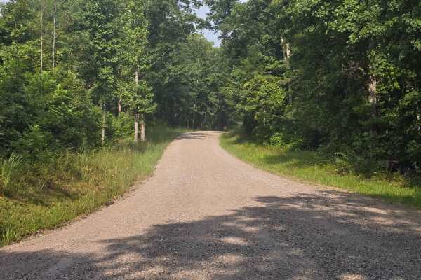
Fork Ridge Road
This is an easy gravel two land road with plenty of room for passing. There is a good size parking lot at the end for the Charit Creek Hiking Trailhead. No camping in the parking lot is allowed. This is a shared trail with horses, hikers, and bikers, so be respectful of other users. There is a restr...
Learn more about Fork Ridge Road
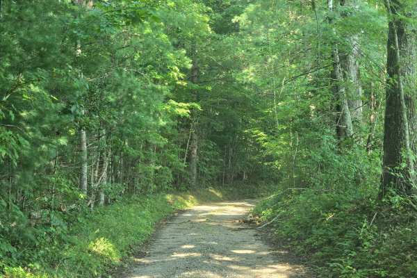
Upper Burke Field Road
This is mostly a single lane gravel road. It is a shared road with hikers, bikers, vehicles and horses so watch out! This route dead ends to a hiking trail. There is an open area parking lot for horse trails at the beginning and plenty of room to turn around at the end.
Learn more about Upper Burke Field Road
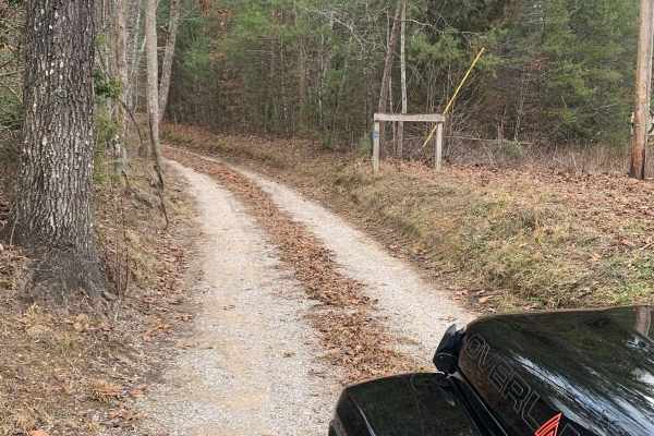
Bandy Creek Trek
This is a combination of dirt, gravel, and single-track in-the-woods roads. There really aren't a lot of difficult obstacles to make a note of other than a few areas that are washed out on Duncan Hollow Road. We had cell service off and on during this drive (Verizon). There weren't any great views a...
Learn more about Bandy Creek Trek
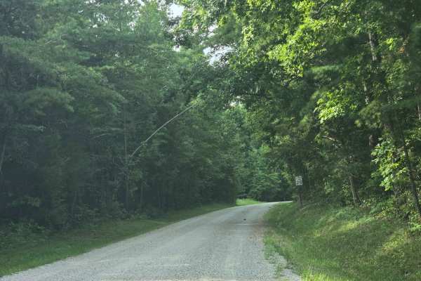
Bandy Creek Road
This is an easy two lane gravel road with plenty of room to pass oncoming traffic. This is a shared trail for hikers, bikers and vehicles, so be alert. This trail is normally busy, so it is well maintained and is the main road through the park to the campground.
Learn more about Bandy Creek Road
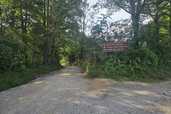
Honey Creek Loop Road
This well maintained gravel road starts off as a single lane road so be careful! You cross a bridge next to the historial Burnt Mill Bridge and head up a hill till you get to the Honey Creek Overloop. The overlook is a short walk from the parking lot with restrooms on site.
Learn more about Honey Creek Loop Road
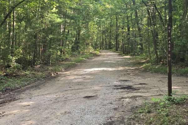
Duncan Hollow Road
Single lane in most places with spots to bypass oncoming traffic, this road is the main road from the campground into the trail system. It is maintained and wide for high traffic use. Horses are not allowed down this section of the trail so you only need to watch out for hikers and bikers.
Learn more about Duncan Hollow Road
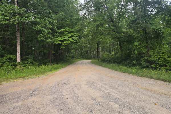
Twin Arches Road
Easy gravel road with room to pass. This is the road to the popular hiking spot, the Twin Arches Trail. This road is maintained and has smooth gravel. There are restrooms at the trailhead and plenty of space to park or turn around. No camping is allowed in the parking lot.
Learn more about Twin Arches Road
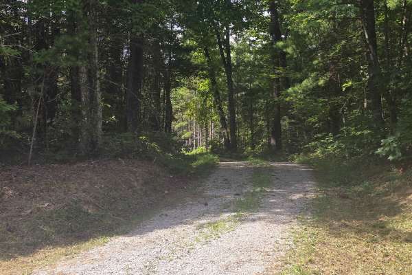
Ridge Road
This is an easy single lane gravel road, with plenty of pulloffs for passing or turning around. You will go under power lines, where you'll have a nice viewpoint of the terrain. There are signs out there to stay on the trail, so be respectful. There is an easay turn around spot at the end of the tra...
Learn more about Ridge Road
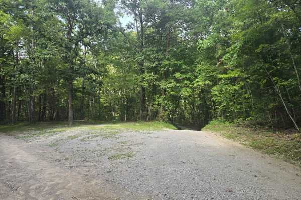
Alfred Smith Road
This easy single lane gravel road winds you through the woods. This short trail dead ends into a larger parking lot for you to be able to hike some trails. This is a shared trail as well for horses, bikes and hikers. There are pulloffs in case you run into someone along the way.
Learn more about Alfred Smith Road
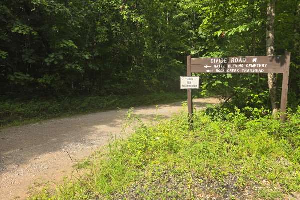
Blevins Cemetery Road
Easy single-lane gravel road. This trail dead-ends into the Blevins Cemetery and is the Rock Creek Loop trailhead. There's no room for trailers, but plenty of room to turn around at the end. Like all the other roads in this area, after a rainstorm, trees could fall, so having a chainsaw handy would ...
Learn more about Blevins Cemetery Road
Beginner ATV trails near Grimsley, Tennessee
Explore ATV-friendly trails near you. These trails are accessible for vehicles up to 50 inches wide, perfect for ATVs and smaller off-road machines.
Bandy Creek Trek
This is a combination of dirt, gravel, and single-track in-the-woods roads. There really aren't a lot of difficult obstacles to make a note of other than a few areas that are washed out on Duncan Hollow Road. We had cell service off and on during this drive (Verizon). There weren't any great views a...
Learn more about Bandy Creek Trek
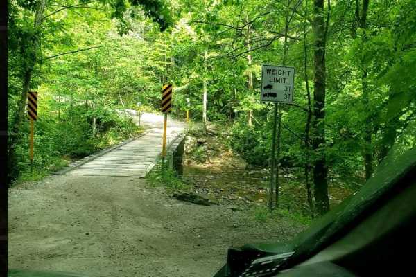
Catoosa WMA Noah Hambey
The Catoosa WMA Noah Hambey loop is a scenic, 17.7-mile gravel route winding through the southwestern reaches of the Catoosa Wildlife Management Area in Tennessee, ideal for beginners, families, or anyone seeking a relaxing, low-stress day in the woods. Rated as a mild 2 out of 10, this route is eas...
Learn more about Catoosa WMA Noah Hambey
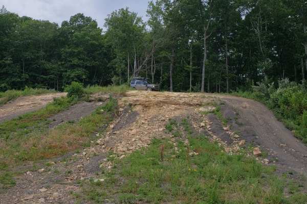
Catoosa Headrick Road
Catoosa Headrick Road offers an engaging 3.3-mile point-to-point journey across the scenic Cumberland Plateau, making it ideal for drivers of four-wheel-drive vehicles and SxSs looking for a mild yet diverse off-road experience. Rated as a 3 out of 10 in technical difficulty, this route climbs from ...
Learn more about Catoosa Headrick Road
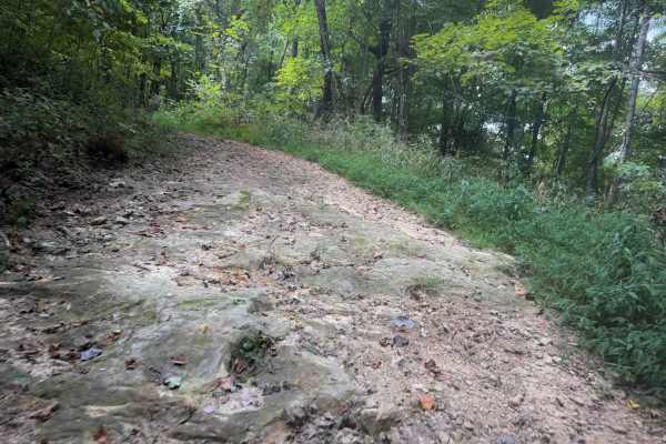
Tower Trail 30
Tower Trail is a less than half-mile-long spur off of Signal Mountain Trail that takes you to the summit of Signal Mountain, at 2,910 feet elevation. There is a utility pole at the top, and space to turn around, but not much of a view. The short spur is a narrow quad track between the dense forested...
Learn more about Tower Trail 30
Beginner UTV/side-by-side trails near Grimsley, Tennessee
Find UTV and side-by-side trails near you. These trails accommodate vehicles up to 60 inches wide, ideal for UTVs, side-by-sides, and wider off-road rigs.
Myatt Creek Road
This well-maintained gravel road, mixed with sand, winds through the outskirts of the Catoosa Wildlife Management Area (WMA). Along this route, you'll pass through a site where a tornado struck in 2012. In the aftermath, the area was designated for a range of early plant succession management effort...
Learn more about Myatt Creek Road
Potters Ford Road
Potters Ford Road winds its way through the heart of Catoosa Wildlife Management Area as a gentle gravel path perfect for a relaxed ride. This easygoing trail offers plenty to take in along the way—from towering rock walls to the free-flowing waters of the Obed River. Keep your eyes peeled for local...
Learn more about Potters Ford Road
Otter Creek Road
Otter Creek Road is a well-maintained service road that takes you through the heart of Catoosa Wildlife Management Area (WMA). Along the route, you'll encounter numerous trails and side spurs perfect for further exploration. Watch for deer, turkeys, wild hogs, and the occasional black bear. The road...
Learn more about Otter Creek Road
Hebbertburg Road
Hebbertburg Road is a well-maintained gravel road. However, at the end of the road, you'll come across a historic decommissioned bridge—a fascinating glimpse into the past. There is a creek crossing to get to Otter Creek Road on the other side. Just use best judgment, especially after heavy rains wh...
Learn more about Hebbertburg Road
The onX Offroad Difference
onX Offroad combines trail photos, descriptions, difficulty ratings, width restrictions, seasonality, and more in a user-friendly interface. Available on all devices, with offline access and full compatibility with CarPlay and Android Auto. Discover what you're missing today!
Open Trail Map