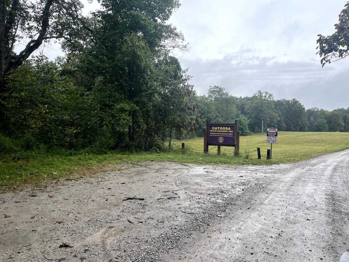
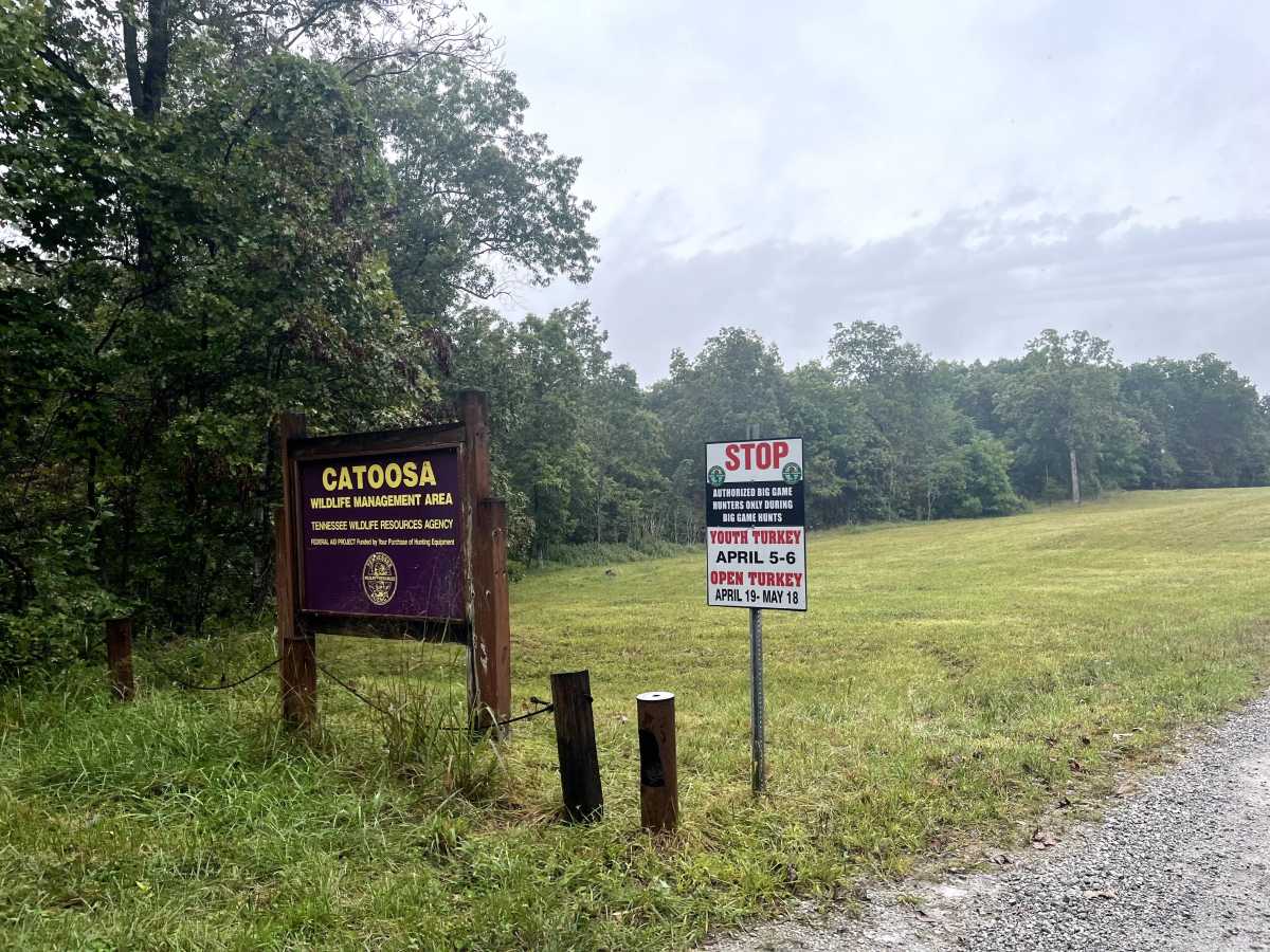
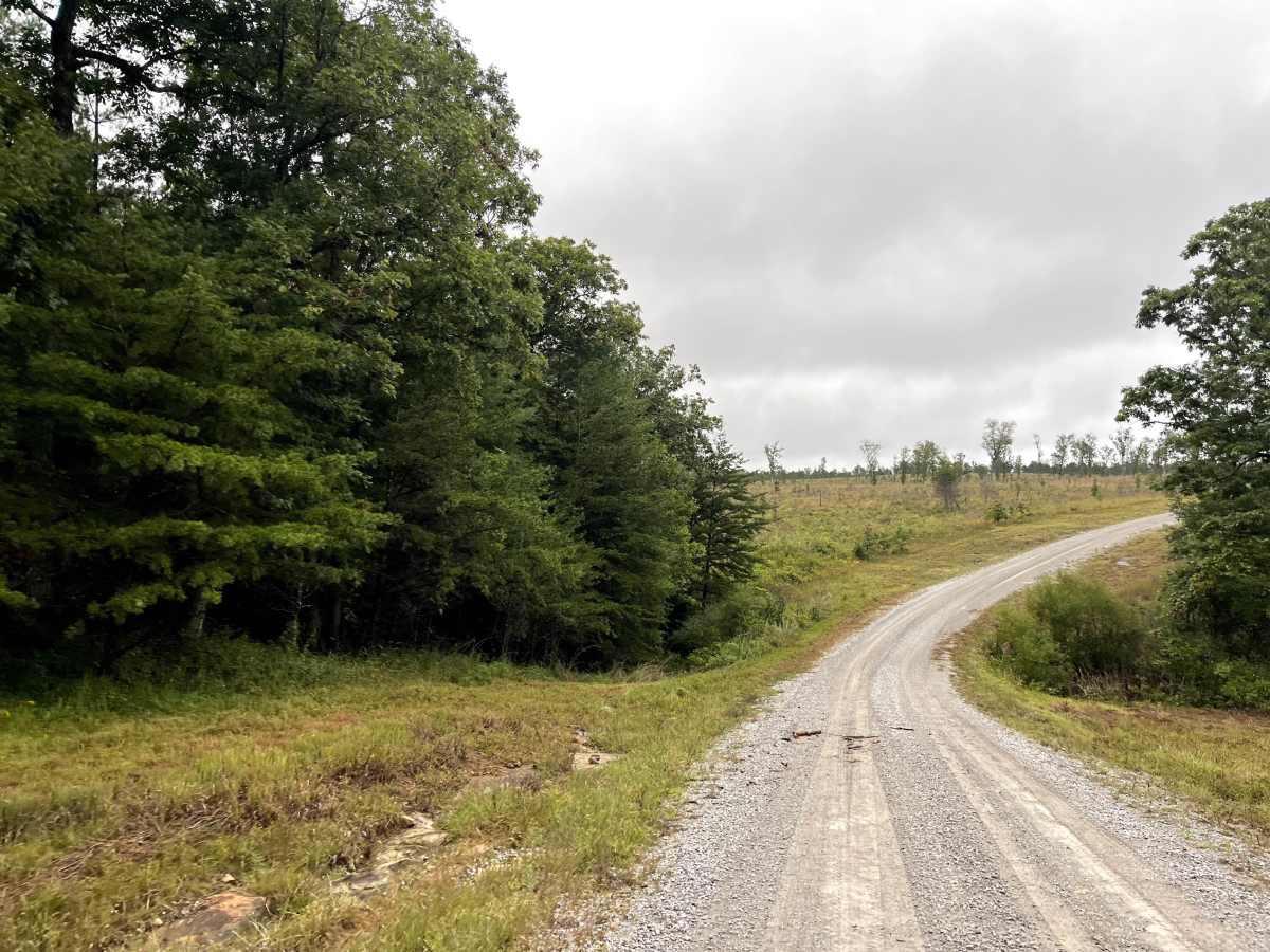
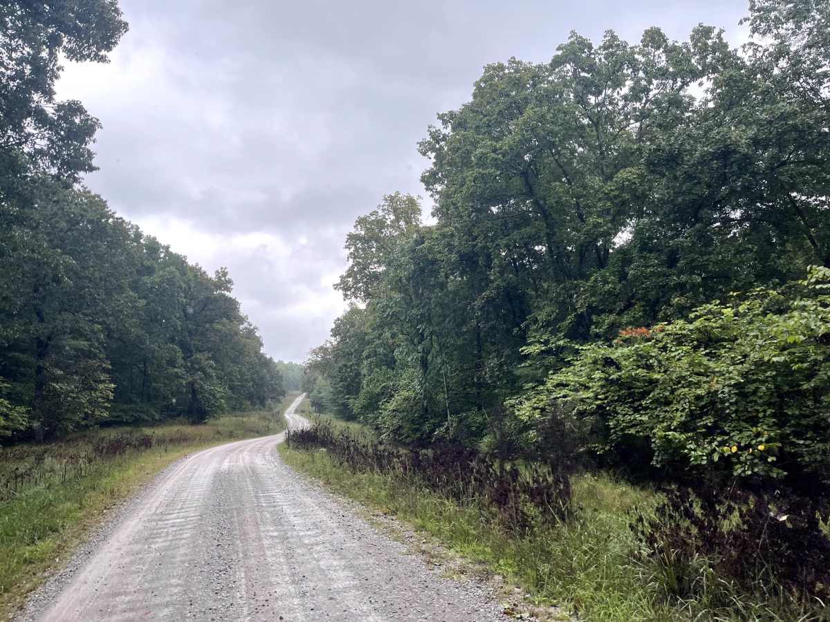
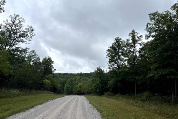
Otter Creek Road

Total Miles 11.3
Technical Rating
1 Easy
Best Time Spring, Fall, Winter
Trail Type Full-Width Road
Accessible By
Open Trail Map

Trail Overview

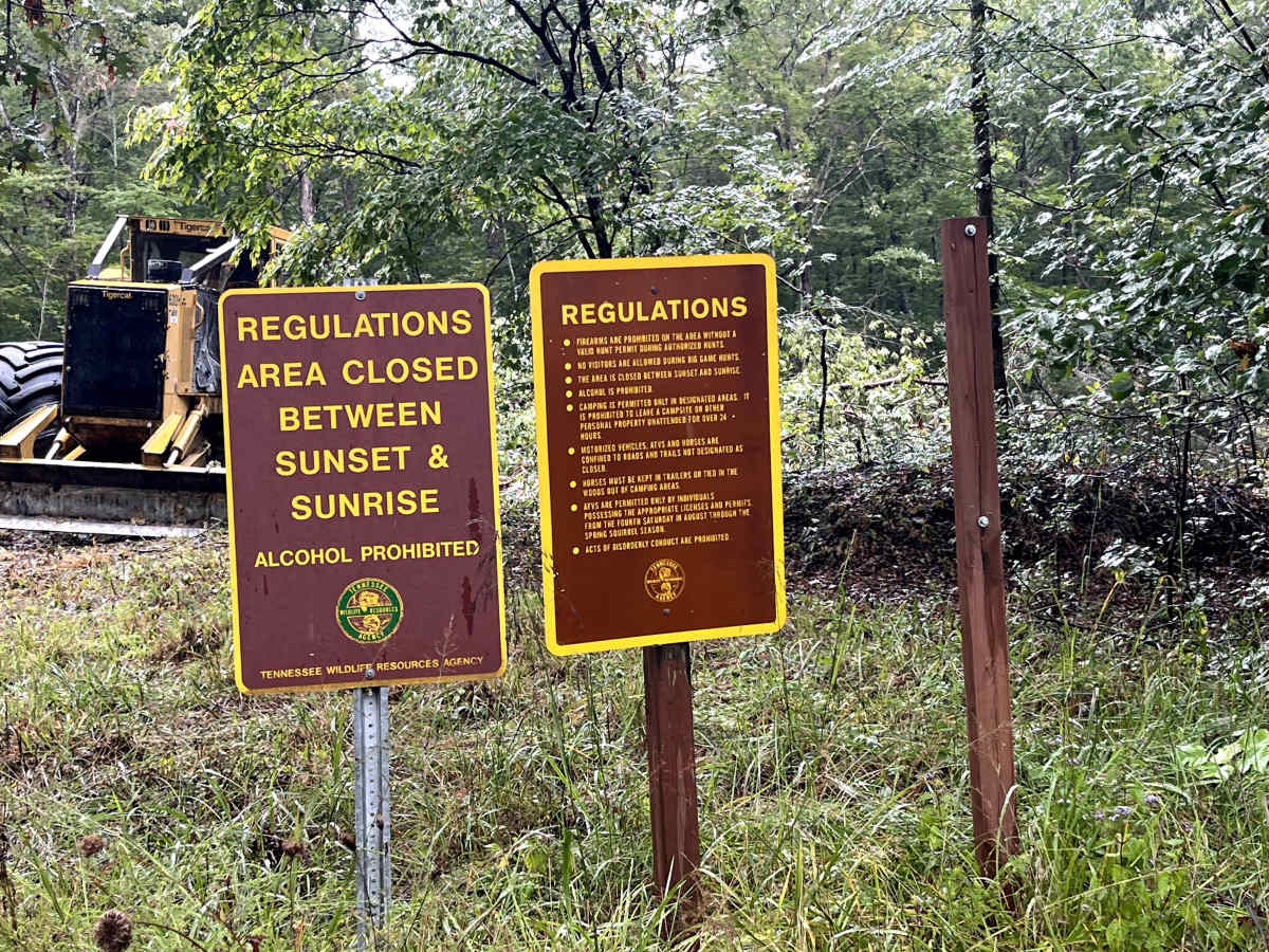
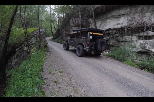
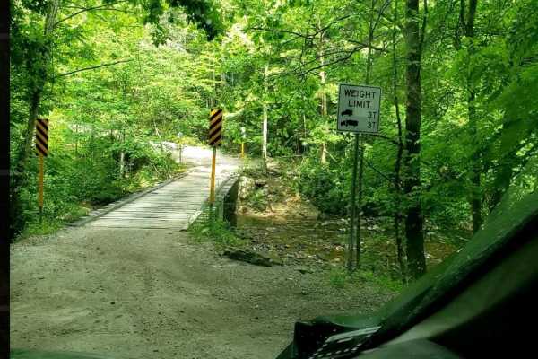
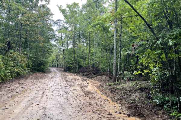
Otter Creek Road is a well-maintained service road that takes you through the heart of Catoosa Wildlife Management Area (WMA). Along the route, you'll encounter numerous trails and side spurs perfect for further exploration. Watch for deer, turkeys, wild hogs, and the occasional black bear. The road winds through a variety of landscapes, from dense woodlands to open oak savannas, offering stunning mountain views as you go. Keep your eyes peeled for elusive wildlife while soaking in the scenery. At the end of the road, you'll come across a historic decommissioned bridge—a fascinating glimpse into the past. Daddy's Creek is another highlight, with its towering rock walls and prime fishing spots. Though the bridge is out, a water crossing has been established, allowing you to continue to the other side and connect with Hebbertburg Road.

Photos of Otter Creek Road

Difficulty

This is a well-maintained gravel road with a creek crossing at the end of the trail. If the water is high after rain, this can become dangerous, so please use your best judgment.

History

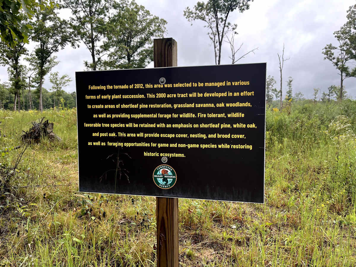
According to TWRA. Catoosa WMA's history reflects the Cumberland Plateau's shift from natural habitats to industrial exploitation and back to conservation, with its origins as ancestral hunting grounds, later becoming a center for logging and coal mining. Following devastation by a 1929 flood and subsequent economic decline, the state began acquiring the land in the 1940s to establish the area as a wildlife and state forest. Today, the ~82,000-acre area is managed by the Tennessee Wildlife Resources Agency (TWRA) to restore ecosystems like oak savannas and protect native wildlife, which is a return to its ecological roots before human intervention.

Technical Rating

1

Status Reports

Add Status Report
Cameron May
May 23, 2026
Open
A fun and approachable trail that anyone with a capable rig can enjoy! There’s an optional river crossing right at the start if you’re feeling bold, and the route flows nicely with a good mix of off-road terrain throughout. Pay close attention to posted signage — there are restricted areas, so stay on the marked trail. The real highlight is at the end where a deteriorated bridge and river crossing make for an awesome finish and a great photo op. A great ride for all experience levels — respect the land and enjoy the adventure! 🤙
Frank Kehren
Apr 23, 2026
Open
the bridge is still out, but water crossing was possible today. Otherwise the trail is in good condition - although very dusty.
Travis M
Apr 03, 2026
Open
The bridge @ Otter Creek is unavailable to be used. If you have a large crawler or tires (i arent sure of how deep the creek is) then you can go through it most likely. There is a little branch with 2-2.5ft water before hand (coming from peavine firetower rd) that has the other bridge blocked off too. Jeep in the water is that crossing as stock MOAB suspension other than 33” tires. The middle and last is as far as I could go.
Paul
Feb 28, 2026
Open
Gate is closed. TWRA expected to reopen Catoosa final Friday in March

Otter Creek Road Trail can be accessed by the following ride types:

  • 60 Inch
  • High Clearance
  • Full Width

Otter Creek Road Map

The onX Offroad Difference

onX Offroad combines trail photos, descriptions, difficulty ratings, width restrictions, seasonality, and more in a user-friendly interface. Available on all devices, with offline access and full compatibility with CarPlay and Android Auto. Discover what you're missing today!

Open Trail Map