
Beginner Off-Road Trails
Near Grace, Idaho
Explore All Beginner Trails Near Grace, Idaho
Beginner Off-Road Trails Near Grace, Idaho
Discover the best beginner-friendly off-road trails near you. These easier, lower-rated trails are a great place to start — browse trail maps, check difficulty ratings, and find your next adventure.
Slate Trail #3119
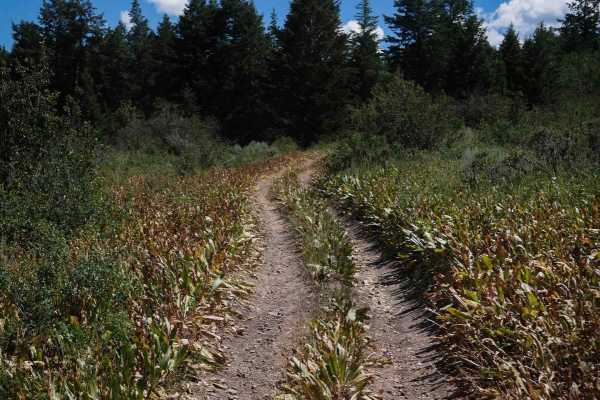
Slate Trail #3119 is a 0.9-mile-long ATV spur forming a short loop with Trail #3118 off of Trail #3331. This easy route follows a mostly flat and gradual path through tall grass and mixed vegetation, with occasional overgrowth encroaching onto the trail. The surface consists primarily of smooth dirt...
Learn more about Slate Trail #3119
Bailey Ridge #3118
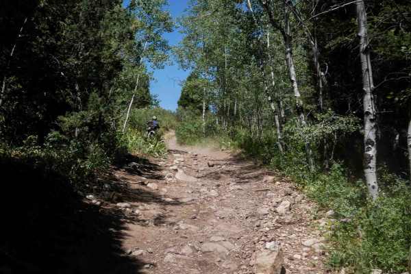
Bailey Ridge #3118 is a 1.4-mile-long ATV spur that branches off Trail #3331 and travels across sagebrush-covered hillsides and wide open meadows. The trail follows a gradual grade with a dry, dusty surface that includes grassy sections and shallow ruts. While there are no large obstacles or ledges,...
Learn more about Bailey Ridge #3118
Cow Fork Bench #3373
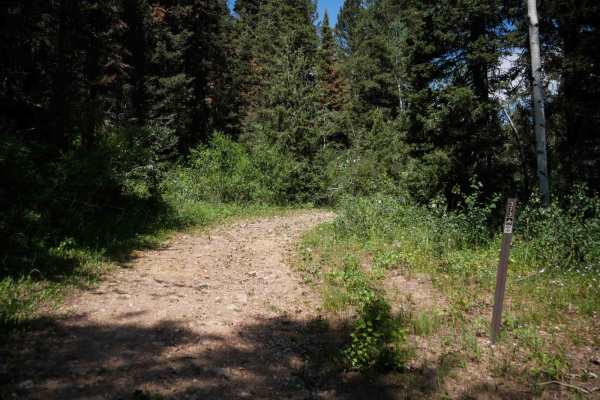
Cow Fork Bench #3373 is an easy 1.4-mile-long ATV trail that begins at a gate with space for a 50-inch vehicle to enter. It travels north across the base of a hillside on mostly flat terrain. The route is wide and grassy, with no significant obstacles or elevation change, making it a gentle and stra...
Learn more about Cow Fork Bench #3373
Trail Hollow #3368
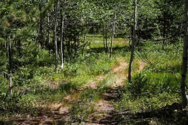
Trail Hollow #3368 is a 4.4-mile-long ATV trail that forms a mellow loop through forest and open ridgelines. When ridden clockwise from its intersection with Trail #3332, it starts flat and winds easily through grassy and slightly overgrown forest. The surface is mostly small loose rocks with a few ...
Learn more about Trail Hollow #3368
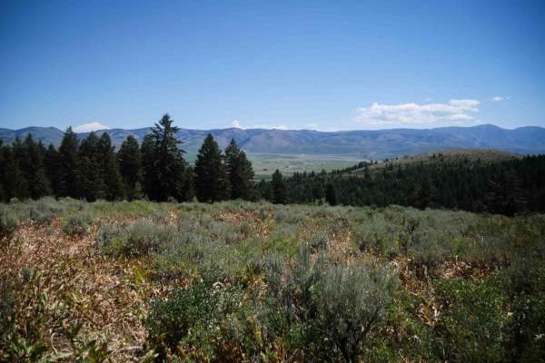
Three Ponds #3367
Three Ponds #3367 is a short and easy spur trail branching off Trail Hollow #3368, offering some extra mileage and scenic views. The route begins in wide open meadows with a faint, grassy track that quickly transitions into a steeper descent through pine and aspen forest. While the trail surface is ...
Learn more about Three Ponds #3367
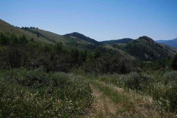
North Sulphur Canyon #5245
North Sulphur Canyon #5245 is an easy 0.7-mile ATV trail that begins at the intersection with trail #5244 and descends steadily into the forest along the boundary between National Forest and BLM land. The trail is grassy, faint, and somewhat overgrown, making visibility around corners more limited. ...
Learn more about North Sulphur Canyon #5245
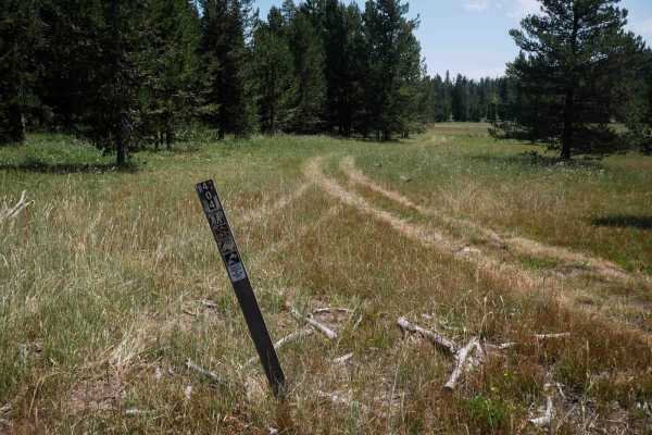
Moonlight Meadow #3404
Moonlight Meadow #3404 is a 1.5-mile-long primitive ATV trail that begins at a marked intersection with Trail #3442 and forms a half-loop up to a connecting forest service road. The trail is very faint with few visible tracks, making navigation difficult without a GPS map. The route travels through ...
Learn more about Moonlight Meadow #3404
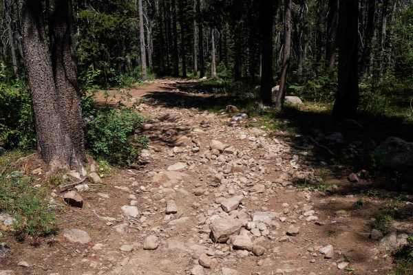
North Middle #3443
North Middle #3443 is a 1.2-mile ATV connector trail that links Trail #3404 to Forest Service Road #30401. The route begins at the west end as a more defined path exiting the meadow, making it easier to identify compared to the more primitive start of #3404. It follows a dirt two-track through fores...
Learn more about North Middle #3443
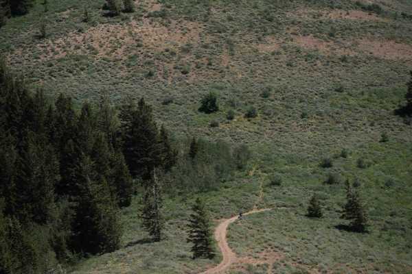
Middle South Sulphur Canyon #5243
Middle South Sulphur Canyon #5243 is an easy 2.1-mile-long ATV trail that begins at a marked entrance off Sulphur Canyon Road #50126 on the north end. The trail follows a wide, well-used, and maintained path with large waterbars, shallow ruts, and scattered small loose rocks. It gradually curves thr...
Learn more about Middle South Sulphur Canyon #5243
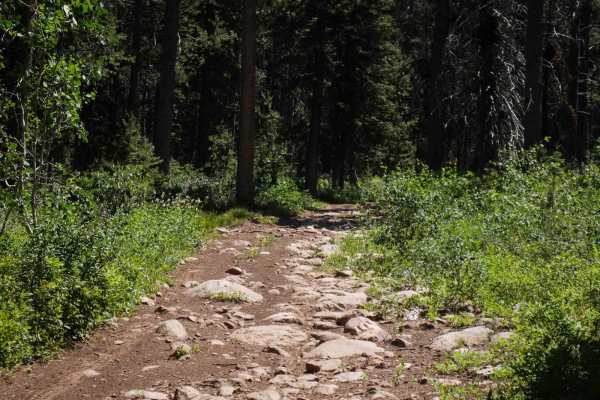
Emigration #3359
Emigration #3359 is a 2.6-mile-long ATV trail that begins at the north end on a wide, rocky path with no trail sign marking the start of its 50-inch designation. The initial section is filled with large embedded rocks in the surface that create a slower, bumpier ride, though they do not present sign...
Learn more about Emigration #3359
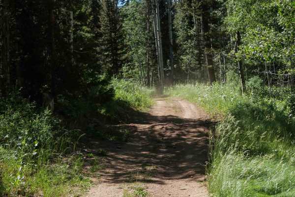
Aspen Range - Middle Sulphur #5248
Aspen Range - Middle Sulphur #5248 is an easy 1.9-mile-long ATV trail that starts near the Wood Canyon Motorized Trailhead and offers a smooth, gradual route through forest terrain. From the north end, the trail follows a wide path with large waterbars and deep dips in between, passing through a log...
Learn more about Aspen Range - Middle Sulphur #5248
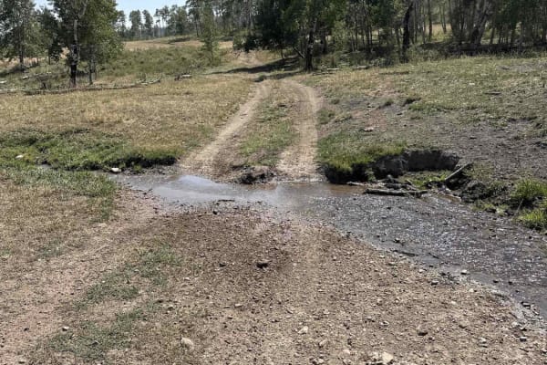
Indian Creek - Cow Camp
This is the most easily runnable Public-Land only route from 10 Mile Pass / Indian Creek area to the Cow Camp area. It is all dirt starting from the Indian Creek trailhead off of 10-mile pass road. This route skirts the northeastern base of the Chesterfield range. You will pass through a variety of...
Learn more about Indian Creek - Cow Camp
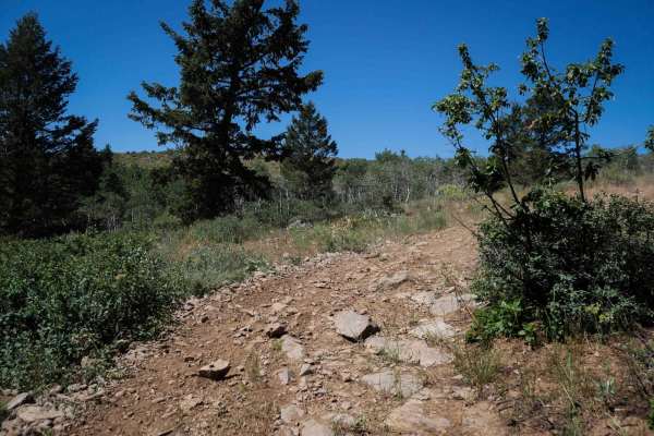
Wood Canyon Loop #5249
Wood Canyon Loop #5249 is an easy 2.3-mile ATV trail that winds through pine forest and open meadows with scenic aspen groves. The route includes semi-steep grades as it climbs up to a ridgeline and descends again, with gradual curves and wide, grassy sections of trail. Surface features include shal...
Learn more about Wood Canyon Loop #5249
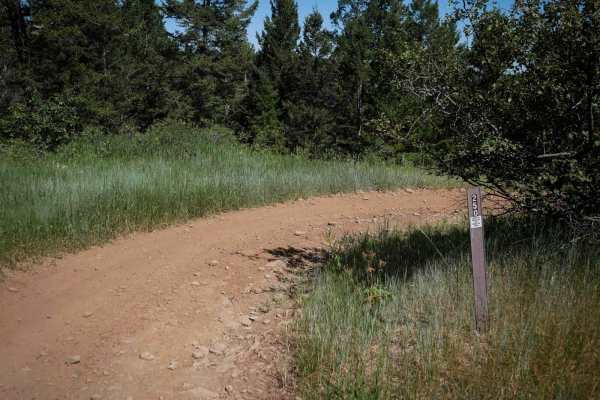
Trail Canyon East #5250
Trail Canyon East #5250 is an easy 1.2-mile ATV trail that descends from its south end at the end of Forest Service Road 50902 to a meadow near the Trail Canyon Motorized Trailhead and a few dispersed campsites. A trail sign at the entrance marks the route as limited to 50-inch vehicles. The trail f...
Learn more about Trail Canyon East #5250
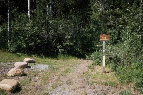
Trail Canyon #5254
Trail Canyon #5254 is an easy 1.3-mile ATV trail that begins at a signed entrance from the Trail Canyon Motorized Trailhead, a large dirt parking area. Starting at the north end, the trail moves gradually through grassy meadows before climbing into a forested section. The climb includes semi-steep s...
Learn more about Trail Canyon #5254
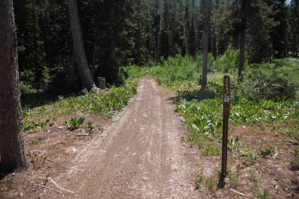
Midland #3309
Midland #3309 is a 5.1-mile-long ATV trail that begins at the Emigration Winter Sports Parking Area and travels south through a mix of forest and open hillsides. The trail starts as a wide, easy dirt track with big waterbars and several embedded rock sections that are easy to ride over. The route me...
Learn more about Midland #3309
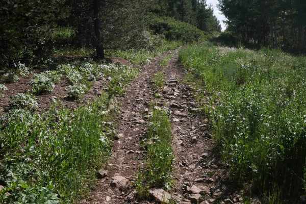
RCD Connector #3375
RCD Connector #3375 is an easy, flat ATV trail that links the RCD Campground with the Emigration Winter Sports Parking Area. The north end begins at a marked trail sign for 50-inch vehicles near a dispersed campsite and winds gently through a scenic forest along the edge of a hillside. The trail sur...
Learn more about RCD Connector #3375
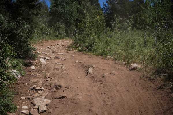
Dry Fork - Meadow Springs #5226
Dry Fork - Meadow Springs #5226 is a moderately easy ATV trail that acts as a short connector between Dry Fork Road #50130 and the junction with trails #5225 and #5232. Traveling eastward, the trail begins with a short but steep climb on dry, dusty dirt. The ascent starts out shelfy, and gets steepe...
Learn more about Dry Fork - Meadow Springs #5226
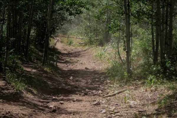
Petterson Canyon #5232
Petterson Canyon #5232 is an easy ATV trail that begins at the intersection with trails #5225 and #5226 and travels east, initially crossing a large open field used for cattle grazing. Although the track is not visible through the field, you can clearly see the re-entry point into the forest across ...
Learn more about Petterson Canyon #5232
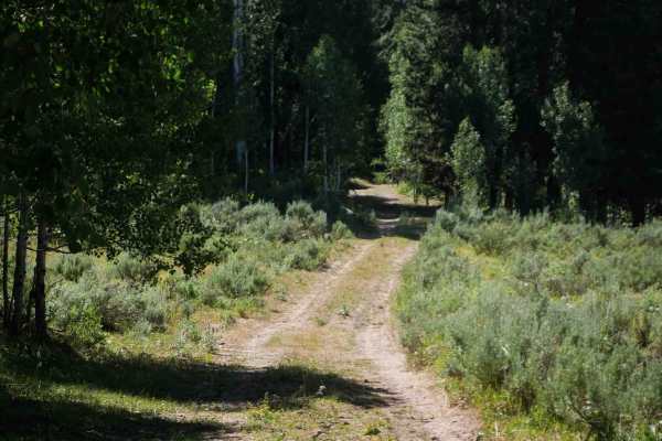
Green Basin #5229
Green Basin #5229 is an easy ATV trail that begins near dispersed campsites by the Green Basin Motorized Trailhead, with convenient access from Slug Creek Road. This area is commonly used as a staging point for rides in the area. The route starts wide and grassy, passing water well infrastructure, i...
Learn more about Green Basin #5229
Beginner ATV trails near Grace, Idaho
Explore ATV-friendly trails near you. These trails are accessible for vehicles up to 50 inches wide, perfect for ATVs and smaller off-road machines.
Slate Trail #3119
Slate Trail #3119 is a 0.9-mile-long ATV spur forming a short loop with Trail #3118 off of Trail #3331. This easy route follows a mostly flat and gradual path through tall grass and mixed vegetation, with occasional overgrowth encroaching onto the trail. The surface consists primarily of smooth dirt...
Learn more about Slate Trail #3119
Bailey Ridge #3118
Bailey Ridge #3118 is a 1.4-mile-long ATV spur that branches off Trail #3331 and travels across sagebrush-covered hillsides and wide open meadows. The trail follows a gradual grade with a dry, dusty surface that includes grassy sections and shallow ruts. While there are no large obstacles or ledges,...
Learn more about Bailey Ridge #3118
Cow Fork Bench #3373
Cow Fork Bench #3373 is an easy 1.4-mile-long ATV trail that begins at a gate with space for a 50-inch vehicle to enter. It travels north across the base of a hillside on mostly flat terrain. The route is wide and grassy, with no significant obstacles or elevation change, making it a gentle and stra...
Learn more about Cow Fork Bench #3373
Trail Hollow #3368
Trail Hollow #3368 is a 4.4-mile-long ATV trail that forms a mellow loop through forest and open ridgelines. When ridden clockwise from its intersection with Trail #3332, it starts flat and winds easily through grassy and slightly overgrown forest. The surface is mostly small loose rocks with a few ...
Learn more about Trail Hollow #3368
Beginner UTV/side-by-side trails near Grace, Idaho
Find UTV and side-by-side trails near you. These trails accommodate vehicles up to 60 inches wide, ideal for UTVs, side-by-sides, and wider off-road rigs.
Indian Creek - Cow Camp
This is the most easily runnable Public-Land only route from 10 Mile Pass / Indian Creek area to the Cow Camp area. It is all dirt starting from the Indian Creek trailhead off of 10-mile pass road. This route skirts the northeastern base of the Chesterfield range. You will pass through a variety of...
Learn more about Indian Creek - Cow Camp

Diamond Creek
This is a non-technical trail that winds through the Caribou National Forest and has access to quite a few side spur roads and camp sites. The Johnson Guard Station and Diamond Creek Guard Station can both be reserved for camping. There are double-track and single-track spurs that will take you in l...
Learn more about Diamond Creek
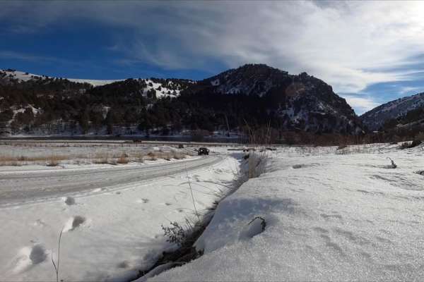
Oneida Narrows Reservoir
Oneida Narrows Reservoir is an easy 14.3-mile dirt and gravel Forest Service road tracing the Bear River canyon in southeastern Idaho. The route gently climbs 1,006 feet from an elevation of 4,642 feet to 5,177 feet. It features dramatic canyon walls, sagebrush hillsides, and abundant wildlife, and ...
Learn more about Oneida Narrows Reservoir
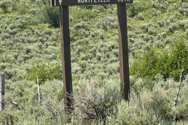
Wells Canyon
This trail is a well-maintained Forest Service road, accessed from Crow Creek, Georgetown Canyon, or Diamond Creek. It follows along the edge of Smokey Canyon Mine, so you'll need to pay attention to stay off mine haul roads that are in the area. There is no cell service available.
Learn more about Wells Canyon
The onX Offroad Difference
onX Offroad combines trail photos, descriptions, difficulty ratings, width restrictions, seasonality, and more in a user-friendly interface. Available on all devices, with offline access and full compatibility with CarPlay and Android Auto. Discover what you're missing today!
Open Trail Map