
Beginner Off-Road Trails
Near Glasgow, West Virginia
Explore All Beginner Trails Near Glasgow, West Virginia
Beginner Off-Road Trails Near Glasgow, West Virginia
Discover the best beginner-friendly off-road trails near you. These easier, lower-rated trails are a great place to start — browse trail maps, check difficulty ratings, and find your next adventure.
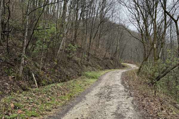
Q9
Q9 is an easy connector trail branching from Q8 that provides access to Kelley’s Creek Road and the Kelley’s Creek sector. This route also leads to the historic Ward Cemetery when traveling southbound. The trail consists of a hard-packed gravel road, offering a smooth and consistent ride. It serves ...
Learn more about Q9
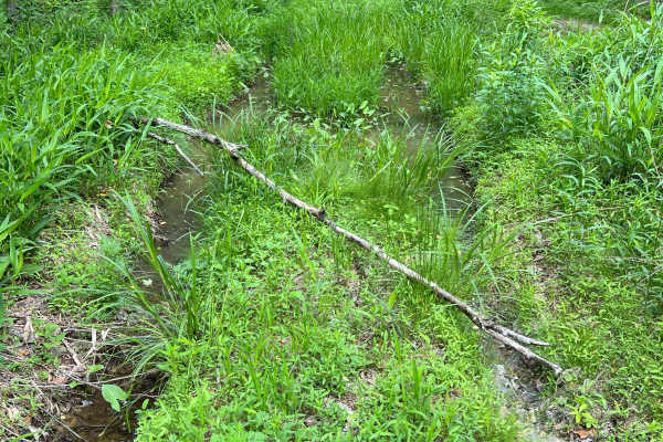
Q62A
Quincy Trail 62A is an out-and-back spur trail off of Q62, which ultimately leads to a well site, then continues but quickly reaches a property boundary beyond that. Along the way, there is one major mud area that can be tricky to navigate in wet seasons. There is plenty of room to turn around at th...
Learn more about Q62A
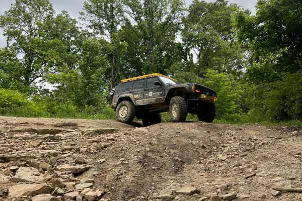
Q63
Quincy Trail 63 is a nearly 1.5-mile-long connector between Q6/Q7 and Q65. This is a smooth, easy-to-travel trail with two switchback turns that are easy to navigate. The trail surface is smooth dirt and small rocks, with the possibility of minor ruts and washouts. At the intersection with Q6/Q7, th...
Learn more about Q63
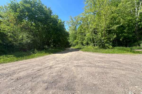
Bufflick Branch Trail - Q76
Quincy Trail 76, Bufflick Branch Trail, is a steady ascent from Kelly's Creek Road to some of the highest elevation areas of the Quincy sector. There are several creek crossings of varying depths, mostly shallower than 8 inches. As the trail ascends, there is a landslide area where the trail is extr...
Learn more about Bufflick Branch Trail - Q76
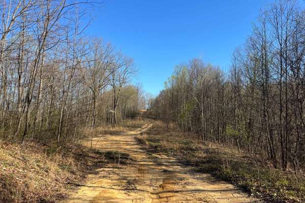
KC25A
KC25A is a short, wide spur trail off KC25 in the Kelly's Creek Sector of AOT. It leads up a relatively steep and rutted/washed hill to a grassy flat well site. Through the trees, you can see down to the town of Pratt to the south, just across the Kanawha River. The trail surface is primarily sandy ...
Learn more about KC25A
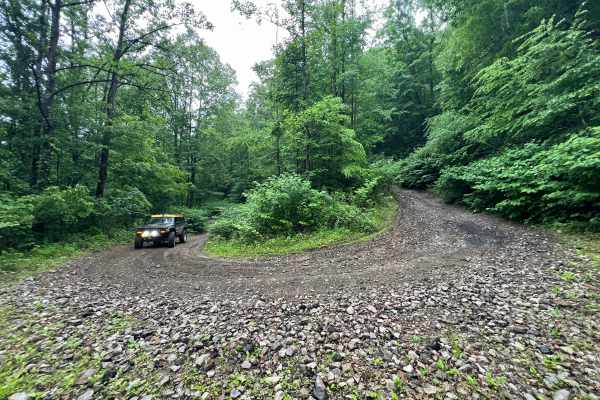
Q66
Quincy Trail 66 connects Bufflick Branch (Q76) and Q67. The lower section (near Q76) is a narrow shelf road with two wide, easily navigable switchback turns. There is one washout section near the bottom that requires some awareness and care to navigate safely. The trail surface is primarily gravel a...
Learn more about Q66
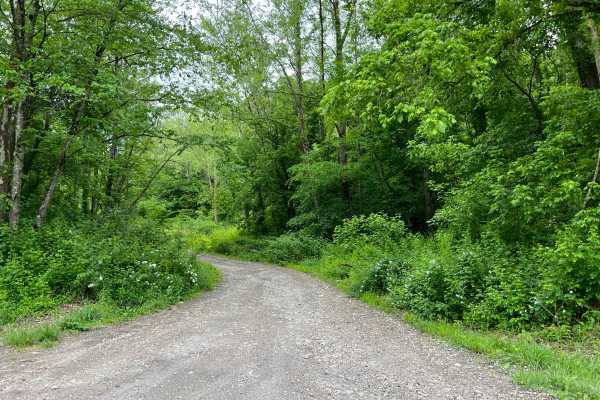
KC13
Kelly's Creek Trail 13 is a nearly 3-mile-long, hilly and winding primary route through the northeastern area of the Kelly's Creek Sector of AOT. The trail surface is primarily rocky dirt, with some of the hill sections being considerably more rocky. With a total elevation change of over 800 feet fr...
Learn more about KC13
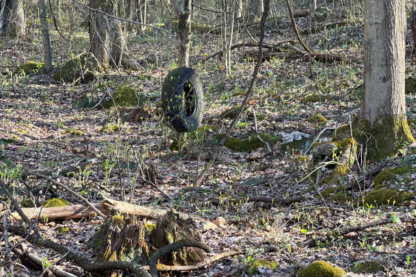
KC26
Kelly's Creek Trail 26 is an out-and-back adventure that starts out as a wide shelf road leading to a well site. It narrows as it continues into the forest beyond the well site, through some deep mud holes and around some minor rock obstacles. There are a few interesting off-trail features to look o...
Learn more about KC26
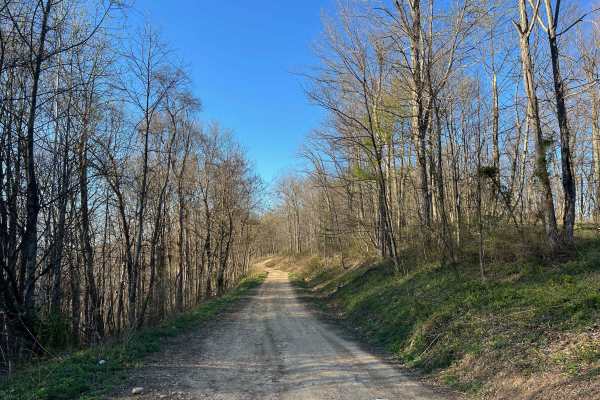
KC2
KC2 is an easy, relatively flat drive across a plateau in the Kelly's Creek Sector of AOT. The surface is primarily dirt, and there are frequently shallow ruts and small washes, as well as a few small mud holes. This trail is wide enough to pass carefully in many places throughout. It gives access t...
Learn more about KC2
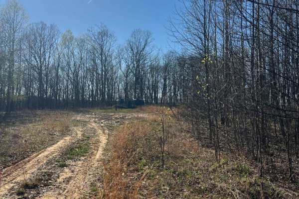
KC25
KC25 is an out-and-back adventure that begins at the multi-way intersection of KC1, KC2, KC10 & KC26. This narrow winding trail ultimately leads to a well site with a turnaround just beyond the AOT park boundary. A portion of the trail is a shelf road, and the majority of the surface is rutted, rock...
Learn more about KC25
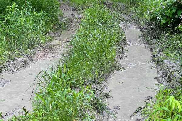
Q66A
Quincy Trail 66A is a short out-and-back spur trail off of Q66 that is often quite muddy and soft. Ruts and mud make up almost the entire track, which can be a significant challenge in wet seasons. The trail passes a few small clearings which provide ample space to turn around, but ultimately this d...
Learn more about Q66A
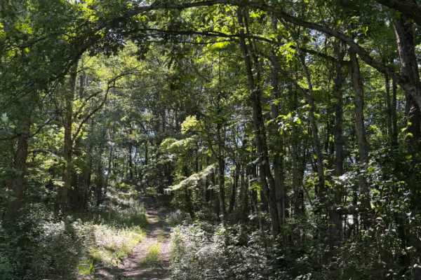
KC2C
KC2C is a short 0.2-mile wooded spur off KC2 at Appalachian Outlaw Trails. The route is narrow, shaded, and lightly overgrown in spots, with a dirt-and-rock surface, shallow ruts, exposed roots, and a short climb/descent through the trees. It gained about 81 feet and topped out near 1,581 feet. Ther...
Learn more about KC2C
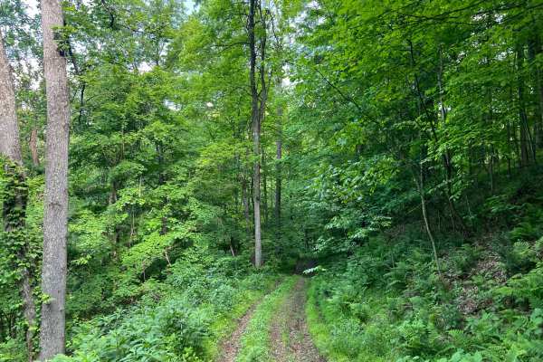
KC11
KC11 is an easy trail within a densely forested area of the Kelly's Creek Sector of AOT. This short spur trail is an out-and-back ride to a well site. The surface is primarily grassy dirt with some small rocks and minor washed ruts. Most of the route is a narrow shelf road with steep terrain on eith...
Learn more about KC11
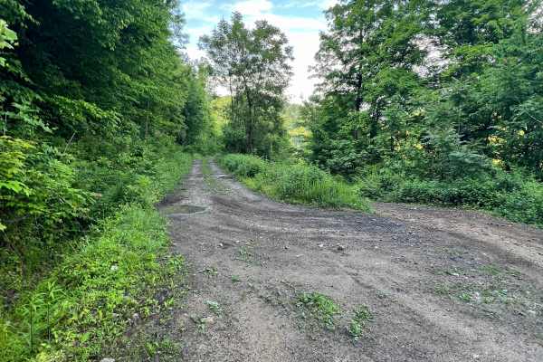
KC12
Kelly's Creek Trail 12 is a beautiful ride that traverses a mountainside, connecting KC1 and KC13. A relatively flat track that navigates past some large oil well sites, through more open areas, and into dense hardwood forest. Along the way are some minor mud puddles and small ruts, but no real obst...
Learn more about KC12
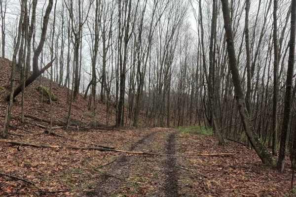
Q8A
Q8A is an easy offshoot trail branching from the Q8 loop. The trail climbs to a narrow overlook and passes a deserted deer blind along the way, providing an optional side trip before returning to the main trail network. The trail consists of a dirt surface with a gradual climb to the overlook. The r...
Learn more about Q8A
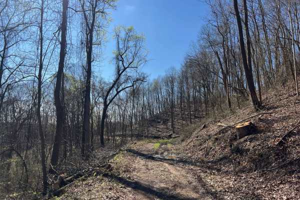
Q41
Trail Q41 is an easy ride out to an old hunting blind on the Quincy Sector of AOT. The trailhead can be very muddy, and may be particularly difficult for large rigs when approaching this while driving north on Q6/Q7 due to it being a hairpin turn. It may be best to pass the trail and turn around, as...
Learn more about Q41
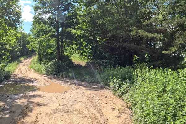
KC2D
KC2D is an easy alternate route branching from KC2. It serves as a bypass around slower traffic before reconnecting with the main KC2 trail, allowing riders to maintain their pace while traveling through the Kelley's Creek trail system. The trail consists of a mix of dirt and grass with seasonal veg...
Learn more about KC2D
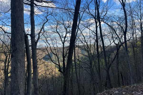
Q39B
Quincy Trail 39B is a spur trail off Q39, which is a short out-and-back adventure to a well site. The track is primarily narrow and shelved with some overgrown vegetation, and as such there are minimal opportunities to pass safely. Though not particularly steep, the trail is a steady slope from end ...
Learn more about Q39B
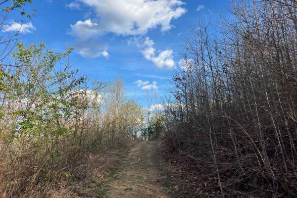
Q39A
Quincy Trail 39A is a spur trail off Q39, which is a short out-and-back adventure to a well site. The track is primarily narrow and shelved with some overgrown vegetation, and as such, there are minimal opportunities to pass safely. There are a few sections that are relatively steep, and you're also...
Learn more about Q39A
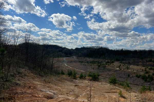
Q56
Quincy Trail 56 connects Q55 and Q1. The track is relatively narrow and lined with young tree growth and some underbrush. Though the majority of the trail is a slope, it can often be quite wet and muddy with some ruts and minor mud holes or puddles. Where the route joins Q1, there is a large clearin...
Learn more about Q56
Beginner ATV trails near Glasgow, West Virginia
Explore ATV-friendly trails near you. These trails are accessible for vehicles up to 50 inches wide, perfect for ATVs and smaller off-road machines.
Q9
Q9 is an easy connector trail branching from Q8 that provides access to Kelley’s Creek Road and the Kelley’s Creek sector. This route also leads to the historic Ward Cemetery when traveling southbound. The trail consists of a hard-packed gravel road, offering a smooth and consistent ride. It serves ...
Learn more about Q9
Q62A
Quincy Trail 62A is an out-and-back spur trail off of Q62, which ultimately leads to a well site, then continues but quickly reaches a property boundary beyond that. Along the way, there is one major mud area that can be tricky to navigate in wet seasons. There is plenty of room to turn around at th...
Learn more about Q62A
Q63
Quincy Trail 63 is a nearly 1.5-mile-long connector between Q6/Q7 and Q65. This is a smooth, easy-to-travel trail with two switchback turns that are easy to navigate. The trail surface is smooth dirt and small rocks, with the possibility of minor ruts and washouts. At the intersection with Q6/Q7, th...
Learn more about Q63
Bufflick Branch Trail - Q76
Quincy Trail 76, Bufflick Branch Trail, is a steady ascent from Kelly's Creek Road to some of the highest elevation areas of the Quincy sector. There are several creek crossings of varying depths, mostly shallower than 8 inches. As the trail ascends, there is a landslide area where the trail is extr...
Learn more about Bufflick Branch Trail - Q76
Beginner UTV/side-by-side trails near Glasgow, West Virginia
Find UTV and side-by-side trails near you. These trails accommodate vehicles up to 60 inches wide, ideal for UTVs, side-by-sides, and wider off-road rigs.
Q9
Q9 is an easy connector trail branching from Q8 that provides access to Kelley’s Creek Road and the Kelley’s Creek sector. This route also leads to the historic Ward Cemetery when traveling southbound. The trail consists of a hard-packed gravel road, offering a smooth and consistent ride. It serves ...
Learn more about Q9
Q62A
Quincy Trail 62A is an out-and-back spur trail off of Q62, which ultimately leads to a well site, then continues but quickly reaches a property boundary beyond that. Along the way, there is one major mud area that can be tricky to navigate in wet seasons. There is plenty of room to turn around at th...
Learn more about Q62A
Q63
Quincy Trail 63 is a nearly 1.5-mile-long connector between Q6/Q7 and Q65. This is a smooth, easy-to-travel trail with two switchback turns that are easy to navigate. The trail surface is smooth dirt and small rocks, with the possibility of minor ruts and washouts. At the intersection with Q6/Q7, th...
Learn more about Q63
Bufflick Branch Trail - Q76
Quincy Trail 76, Bufflick Branch Trail, is a steady ascent from Kelly's Creek Road to some of the highest elevation areas of the Quincy sector. There are several creek crossings of varying depths, mostly shallower than 8 inches. As the trail ascends, there is a landslide area where the trail is extr...
Learn more about Bufflick Branch Trail - Q76
The onX Offroad Difference
onX Offroad combines trail photos, descriptions, difficulty ratings, width restrictions, seasonality, and more in a user-friendly interface. Available on all devices, with offline access and full compatibility with CarPlay and Android Auto. Discover what you're missing today!
Open Trail Map