Trail Overview
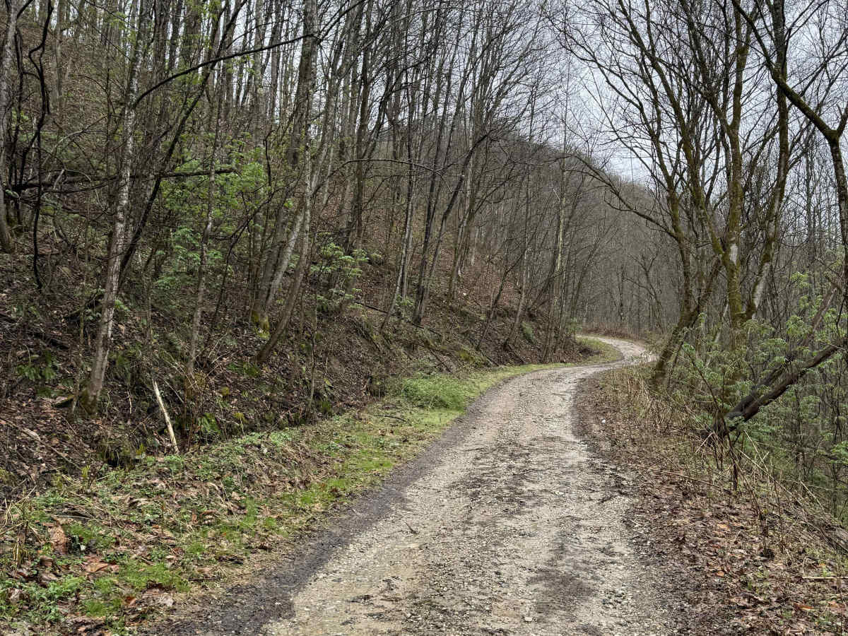
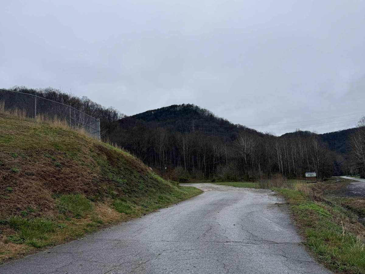
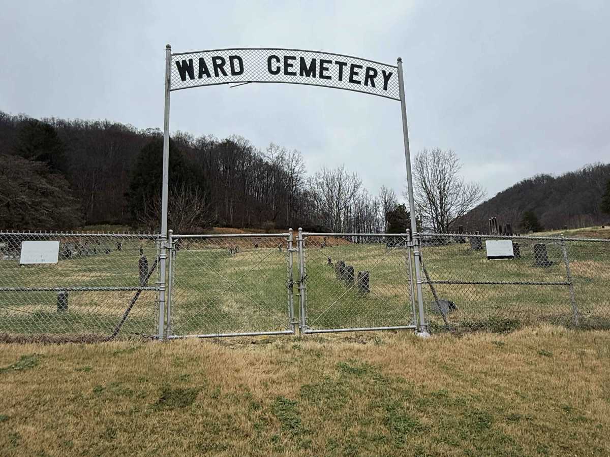
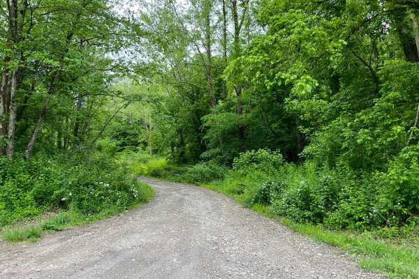
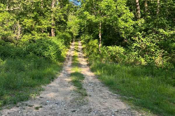
Q9 is an easy connector trail branching from Q8 that provides access to Kelley’s Creek Road and the Kelley’s Creek sector. This route also leads to the historic Ward Cemetery when traveling southbound. The trail consists of a hard-packed gravel road, offering a smooth and consistent ride. It serves as a straightforward connector while passing through quiet, scenic terrain.
Difficulty
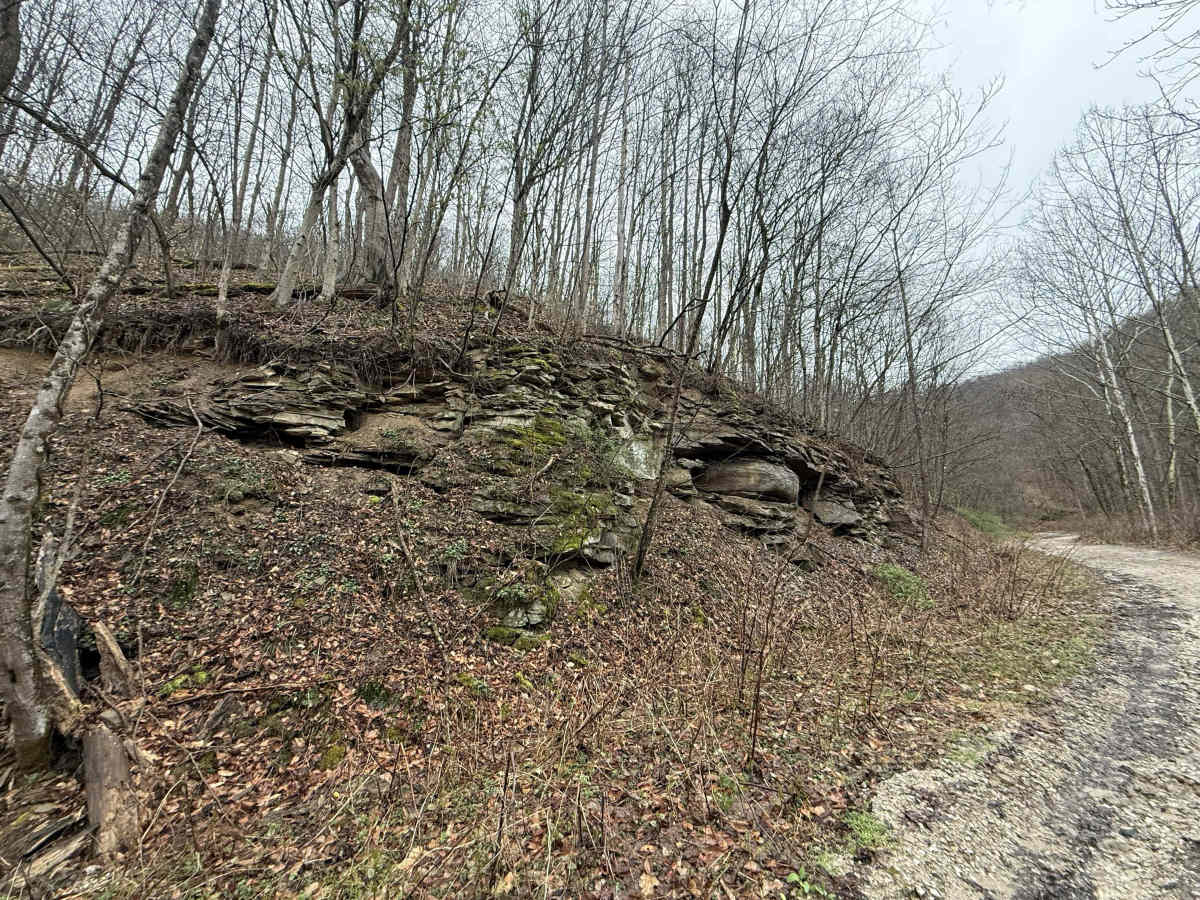
Conditions are typically stable due to the hard gravel base. Minor loose gravel or light washboarding may be present but generally does not impact travel. Easy (Green). Hard-packed gravel road with gentle grades. Suitable for all vehicles, including full-size vehicles. Trail width supports easy two-way traffic.
History
The precise details surrounding the establishment of Ward Cemetery are lost to time, but at some point during the very early years of the community's existence, a plot of land was set aside to serve as a burial ground for the community's coal miners and their families. The oldest marked burials identified in Ward Cemetery are those of Morgan Proctor and Victoria Elswick. Both headstones are inscribed with a death year of 1896. There may be older unmarked burials in Ward Cemetery, but since the original burial records were lost in a fire, there is no information available for unmarked burials.