
Beginner Off-Road Trails
Near Fremont, Utah
Explore All Beginner Trails Near Fremont, Utah
Beginner Off-Road Trails Near Fremont, Utah
Discover the best beginner-friendly off-road trails near you. These easier, lower-rated trails are a great place to start — browse trail maps, check difficulty ratings, and find your next adventure.
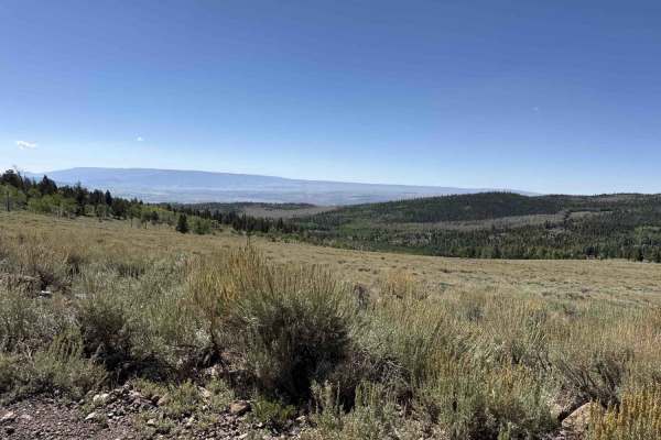
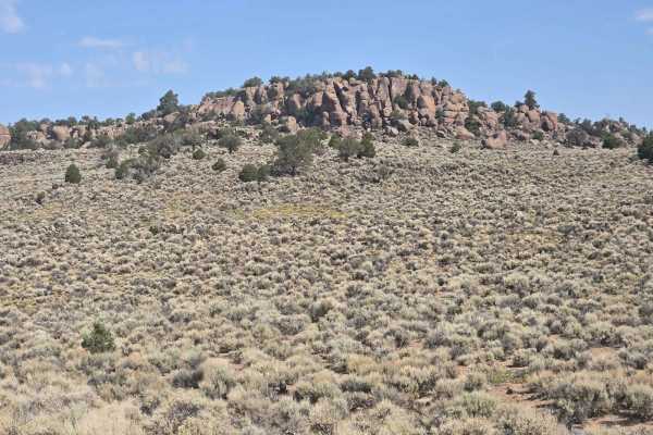
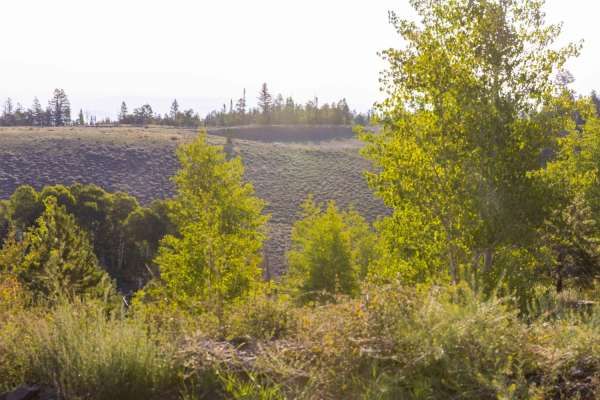
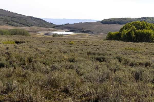
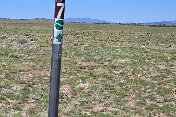
Mytoge
This trail offers easy terrain with mostly gravel and dirt roads and opens into wide, expansive areas with numerous small side routes to explore. It provides scenic views of the surrounding peaks, Fish Lake, and the valley. Camping spots are plentiful along the route, though some areas can become cr...
Learn more about Mytoge
Mytoge road
Mytoge Road can be found along Fremont Road between Mill Meadow and Johnson's reservoirs. The road rises nearly 2400 feet from the junction to the overlook onto Fish Lake. Vegetation ranges from sage brush and cedar to aspen and pine. There are a few shallow lakes near the top. Mule deer and elk are...
Learn more about Mytoge road
Baker Ranch Road
Descending nearly 3000 feet from Hwy 72 at approximately 9200 feet down to the Lower Last Chance road on the San Rafael at 6400 feet. The road borders the north end of Capital Reef National Monument. Both pine and quakie forests exist at the higher elevations, followed by sparse cedar trees and dese...
Learn more about Baker Ranch Road
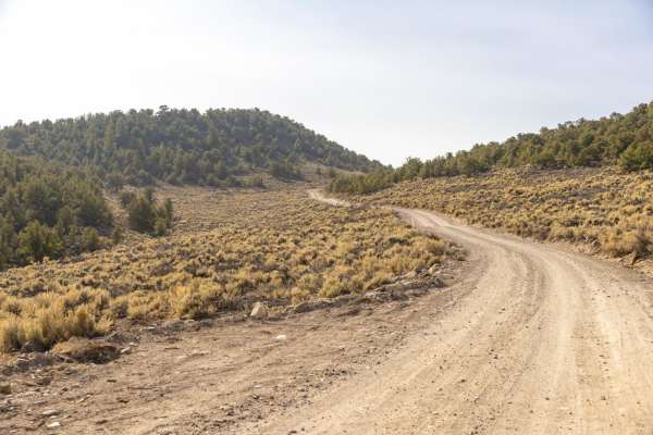
Parker Mountain 1-21
Turn off of Utah Highway 24 to start this trail. You will encounter some beautiful rock formations and vast panoramic views. PMT 1 is a well-maintained road of dirt and gravel. You may well see livestock and antelope while driving in this area. Mostly sage brush with sparse scrub oak trees along the...
Learn more about Parker Mountain 1-21

South Mytoge
South Mytoge Road offers access to the South and East side of Fish Lake. The road is maintained around the South end of the lake as it offers access to many campgrounds and primitive camping spots. As the road approaches the Eastside rim of the lake, it becomes rougher and can be difficult to traver...
Learn more about South Mytoge
Parker Mountain Trail 14 to Junction Shallow Hollow Road
Leaving the pavement on Long Hollow Road. This section of the trail connects to the PMT 14 intersection of Shallow Hollow Road. Most of these roads are county-maintained. They are periodically graded during the rainy season. Most vehicles can traverse during all weather. Not suitable for low-clearan...
Learn more about Parker Mountain Trail 14 to Junction Shallow Hollow Road
Parker Mountain Trail (PMT) 1 to PMT 15
This is a very easy drive for most high-clearance vehicles. 4x4 would be good in wet conditions. There is a lot of wildlife in the area. In the early morning, you may see herds of pronghorn antelope. The terrain is mostly rolling hills and a few small creeks to cross. There are no major obstacles.
Learn more about Parker Mountain Trail (PMT) 1 to PMT 15
Parker Mountain Trail 1 to Long Hollow Road
This trail is on TV Tower Road and starts out smooth until it starts climbing before the towers. Once on top, you can see for miles, overlooking the town of Loa. On the downhill road, you will encounter larger rocks and small drop-offs. Use caution. At the bottom, the road smooths out and is graded....
Learn more about Parker Mountain Trail 1 to Long Hollow Road
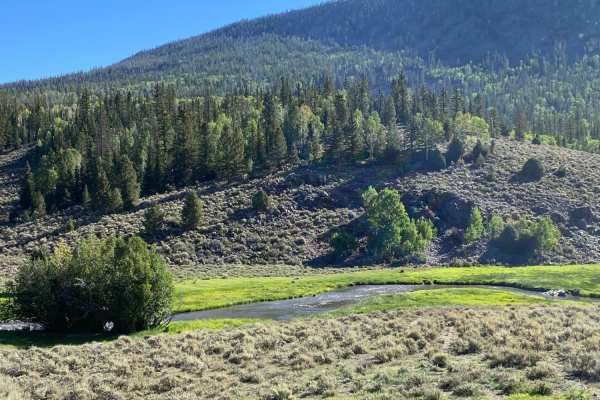
Deep Creek Lake Road
Deep Creek Lake Road traverse's the East side of the Thousand Lake Mountain range from the North end and wraps around the South end of the mountain. Depending on how wet of a year it is, there are lakes and ponds throughout the region. This is a favored fishing spot by all. Several roads, ATV trails...
Learn more about Deep Creek Lake Road
Elkhorn Road
Elkhorn Road is well-maintained and offers access to Deep Creek Lake Road and Elkhorn Campground. The campground and surrounding area are great for tents, as well as travel trailers. The area offers great views of the San Rafael and Capital Reef below along with Pine and Aspen Groves. The area is fr...
Learn more about Elkhorn Road
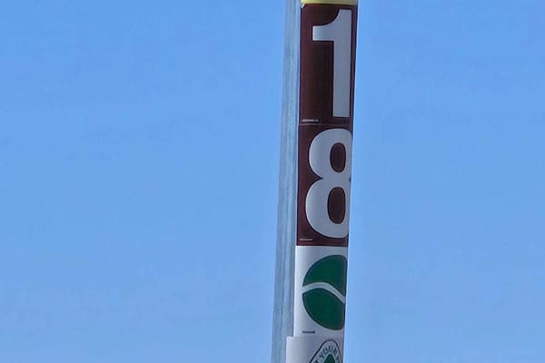
Parker Mountain 18
When you turn onto this trail, it looks like you're driving on two tracks in the grass. This trail has some twists and turns, and plenty of plenty of open plains covered with sage and grass. This trail is a little rougher than the other trails in the area. You could encounter mud puddles and rocks o...
Learn more about Parker Mountain 18
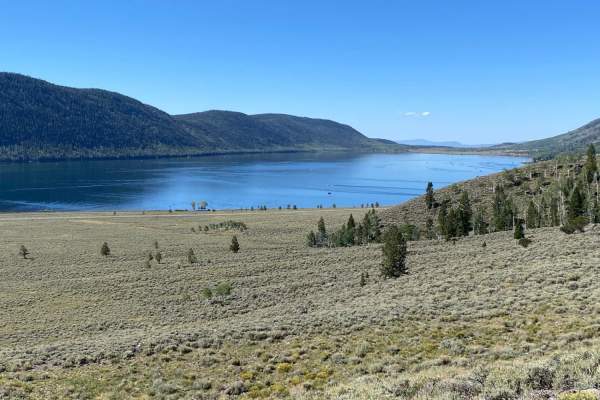
Pelican Promontory Overlook
This is a short in and out trail with great scenic overlook views. The short drive begins traveling through a large grove of aspen trees and continues to Pelican Canyon. Climbing in elevation you begin to get glimpses of Fish Lake below. As you reach the top, the trees clear and your reward is maj...
Learn more about Pelican Promontory Overlook
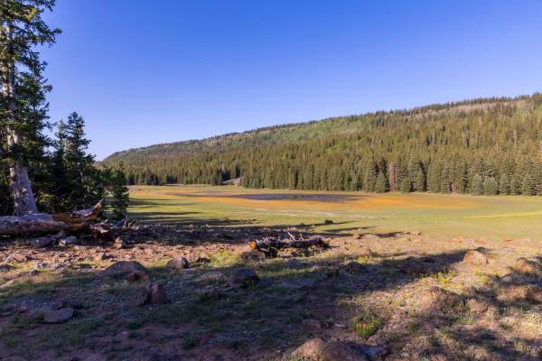
Hilltop Loop
This is an easy loop trail taking travelers through groves of aspen, pine, and cedar trees on their way up to over 11,000 feet of elevation. All along the trail, there are several unimproved camping sites. Several side trails lead to vista overlooks. The trail is well maintained and trailer friend...
Learn more about Hilltop Loop
Sheep Valley Road
On the south end, Sheep Valley Road can be accessed from a paved, Forest Road 036. The road is well maintained and travel trailer friendly. There are several unimproved camp sites all along the nearly 12-mile stretch. Access to the North end of the road can be had via the Last Chance road from the ...
Learn more about Sheep Valley Road
Great Western Trail - Pine Lake to Torrey, Utah
Great Western Trail-Pine Lake to Torrey, Utah is a 77-mile point-to-point trail rated 4 of 10 located in South Central, Utah. The Great Western Trail is a continuous trail system spanning about 4,455 miles that extends from Mexico to Canada and crosses through Arizona, New Mexico, Utah, Wyoming, Mon...
Learn more about Great Western Trail - Pine Lake to Torrey, Utah
Geyser Peak Trail
The Geyser Peak trail extends for six miles along the eastern side of Geyser Peak. The south end the trail meets with the Elkhorn campground road. On the north end it meets up to Hwy 72. The trail offers incredible views of the San Rafael Swell to the east as it crosses through differing areas of ve...
Learn more about Geyser Peak Trail
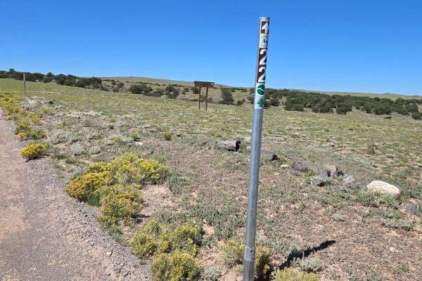
Parker Mountain 22
This is a wide, well-maintained dirt road. The road is marked as PMT22 on FSR 0021.This could be confusing because PMT 21 turns left off of PMT 22 further down the trail on FSR0021. In the Paiute Trails and Parker Mountain Trails map book, this trail is listed as PMT21. We saw antelope and cattle on...
Learn more about Parker Mountain 22

Thousand Lake Mountain Road
This is a very non-technical road that connects from the Cathedral Valley trail up to Elkhorn Road by Fish Lake. What the road lacks in technical fun and challenges it more than makes up for with sweeping vistas of the Capitol Reef area as well as Thousand Lake Mountain. It can be driven in either d...
Learn more about Thousand Lake Mountain Road

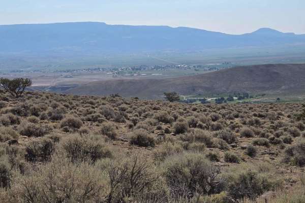
Loa Great Western Trail
This portion of the Great Western Trail stretches from the red rock-covered low lands around Loa up onto the Thousand Lake mountain plateau. The higher elevations are covered in Pine and Aspen trees. There is an abundance of wildlife from the Rocky Mountain Elk, Mule Deer, Coyote, and smaller rabbit...
Learn more about Loa Great Western Trail
Parker Mountain 17
This road is partially maintained but not used often. On this road, we saw antelope running. This is another wide, high plains view road, with lots of grass, sage, and watering holes for wildlife and cattle. There are scrub oak trees in the distance and large expanses of mountains in the background.
Learn more about Parker Mountain 17
Beginner ATV trails near Fremont, Utah
Explore ATV-friendly trails near you. These trails are accessible for vehicles up to 50 inches wide, perfect for ATVs and smaller off-road machines.
Mytoge
This trail offers easy terrain with mostly gravel and dirt roads and opens into wide, expansive areas with numerous small side routes to explore. It provides scenic views of the surrounding peaks, Fish Lake, and the valley. Camping spots are plentiful along the route, though some areas can become cr...
Learn more about Mytoge
Mytoge road
Mytoge Road can be found along Fremont Road between Mill Meadow and Johnson's reservoirs. The road rises nearly 2400 feet from the junction to the overlook onto Fish Lake. Vegetation ranges from sage brush and cedar to aspen and pine. There are a few shallow lakes near the top. Mule deer and elk are...
Learn more about Mytoge road
Baker Ranch Road
Descending nearly 3000 feet from Hwy 72 at approximately 9200 feet down to the Lower Last Chance road on the San Rafael at 6400 feet. The road borders the north end of Capital Reef National Monument. Both pine and quakie forests exist at the higher elevations, followed by sparse cedar trees and dese...
Learn more about Baker Ranch Road
Parker Mountain 1-21
Turn off of Utah Highway 24 to start this trail. You will encounter some beautiful rock formations and vast panoramic views. PMT 1 is a well-maintained road of dirt and gravel. You may well see livestock and antelope while driving in this area. Mostly sage brush with sparse scrub oak trees along the...
Learn more about Parker Mountain 1-21
Beginner UTV/side-by-side trails near Fremont, Utah
Find UTV and side-by-side trails near you. These trails accommodate vehicles up to 60 inches wide, ideal for UTVs, side-by-sides, and wider off-road rigs.
Mytoge
This trail offers easy terrain with mostly gravel and dirt roads and opens into wide, expansive areas with numerous small side routes to explore. It provides scenic views of the surrounding peaks, Fish Lake, and the valley. Camping spots are plentiful along the route, though some areas can become cr...
Learn more about Mytoge
Parker Mountain 1-21
Turn off of Utah Highway 24 to start this trail. You will encounter some beautiful rock formations and vast panoramic views. PMT 1 is a well-maintained road of dirt and gravel. You may well see livestock and antelope while driving in this area. Mostly sage brush with sparse scrub oak trees along the...
Learn more about Parker Mountain 1-21
South Mytoge
South Mytoge Road offers access to the South and East side of Fish Lake. The road is maintained around the South end of the lake as it offers access to many campgrounds and primitive camping spots. As the road approaches the Eastside rim of the lake, it becomes rougher and can be difficult to traver...
Learn more about South Mytoge
Parker Mountain Trail 14 to Junction Shallow Hollow Road
Leaving the pavement on Long Hollow Road. This section of the trail connects to the PMT 14 intersection of Shallow Hollow Road. Most of these roads are county-maintained. They are periodically graded during the rainy season. Most vehicles can traverse during all weather. Not suitable for low-clearan...
Learn more about Parker Mountain Trail 14 to Junction Shallow Hollow Road
The onX Offroad Difference
onX Offroad combines trail photos, descriptions, difficulty ratings, width restrictions, seasonality, and more in a user-friendly interface. Available on all devices, with offline access and full compatibility with CarPlay and Android Auto. Discover what you're missing today!
Open Trail Map