Trail Overview
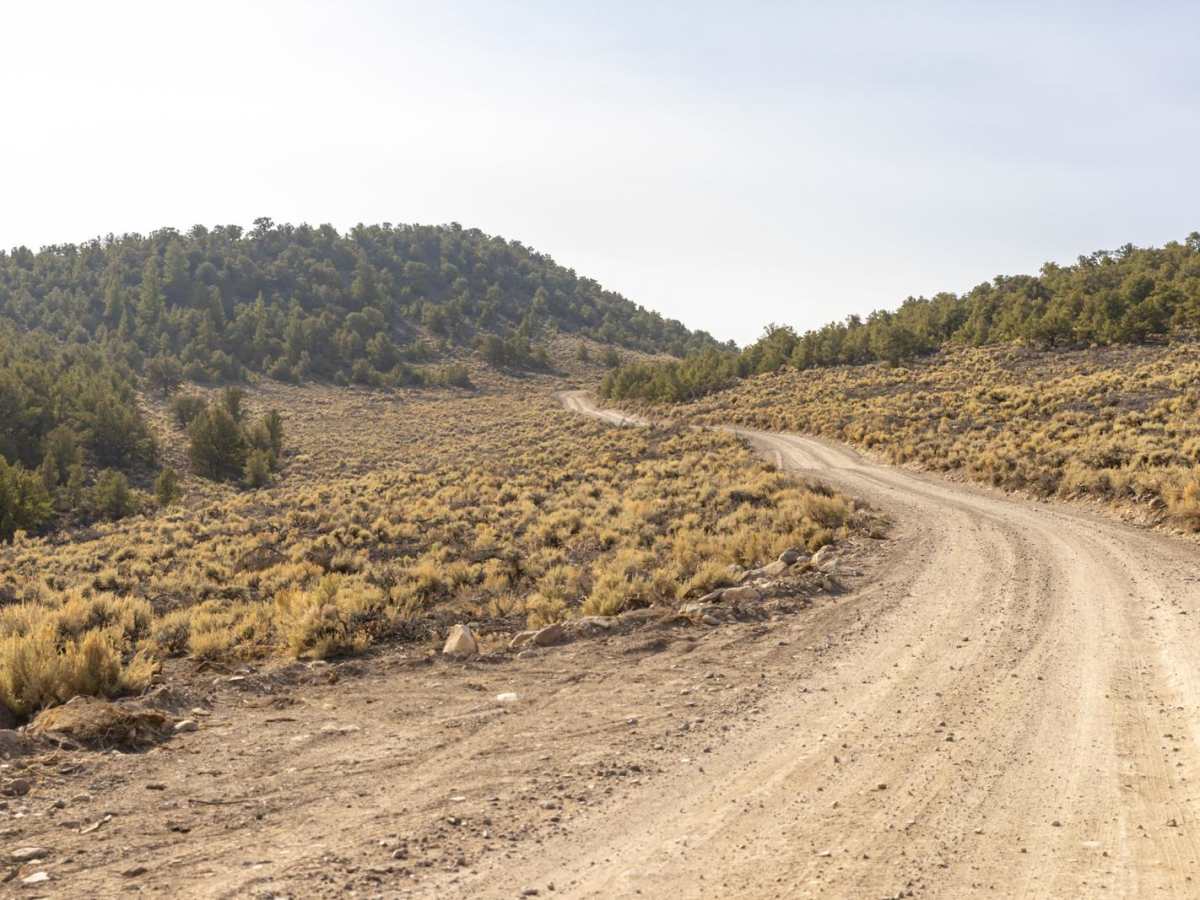
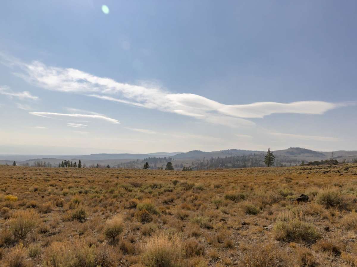
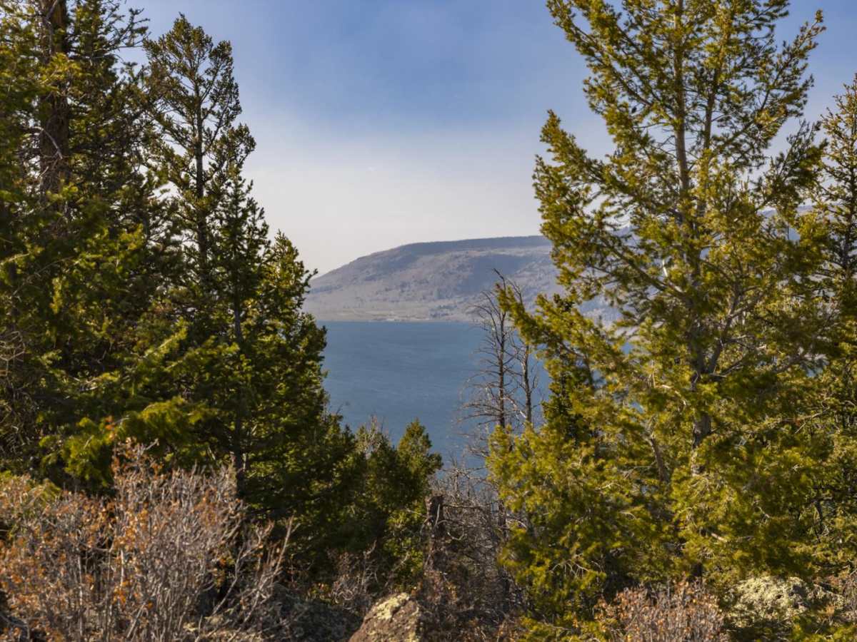
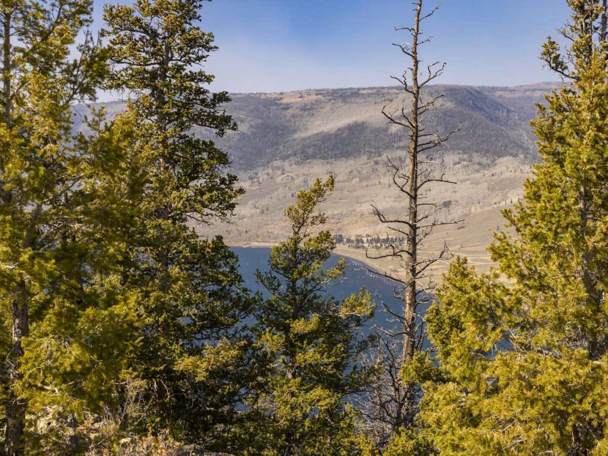
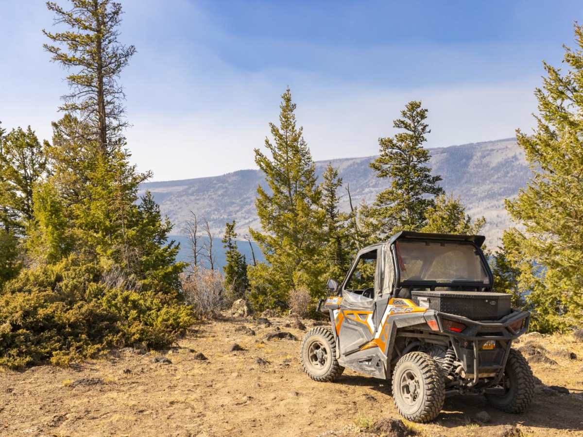
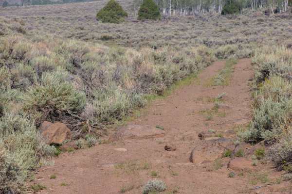
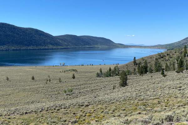
Mytoge Road is a scenic, beginner-friendly route in the Fishlake National Forest that offers stunning vistas of Fish Lake and the surrounding Mytoge Mountains. Perfect for stock four-wheel-drive vehicles, SxSs, and dirt bikes, this trail winds through a diverse landscape, transitioning seamlessly from sagebrush and cedar flats to high-elevation stands of aspen and pine. Starting near Mill Meadow and Johnson Valley reservoirs, the route climbs steadily up to a spectacular overlook high above Fish Lake, offering some of the best panoramic views in the region. Along the way, travelers will encounter a well-maintained unpaved surface that makes for a smooth, relaxed drive while ascending over 1,500 feet of cumulative elevation gain. Keep an eye out for local wildlife, as mule deer and elk are frequently spotted grazing in the high-alpine meadows and near the shallow lakes dotting the upper portion of the route.
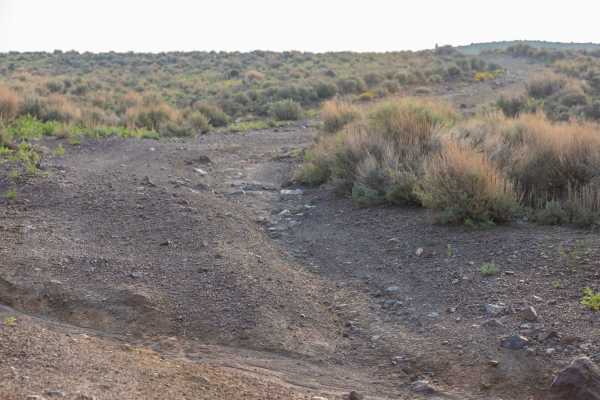
This 8.9-mile point-to-point road is highly accessible, with a technical rating of 2 out of 10, meaning it poses minimal difficulty for most high-clearance vehicles. While the main route is easily traveled, some of the narrow outlying spur trails in the area are better suited for smaller ATVs or SxSs. The elevation ranges between 8,850 and 9,700 feet, making it an excellent destination during the summer and early autumn when temperatures are mild and the fall foliage is at its peak. Dispersed camping spots are plentiful along the trail, and developed campgrounds and restrooms are available near Mill Meadow Reservoir for those looking to extend their stay. Whether you are seeking a leisurely afternoon drive, a scenic route to a high-country campsite, or a starting point for exploring more technical terrain, this route delivers a quintessential Utah alpine offroading experience.