
Beginner Off-Road Trails
Near Freedom, California
Explore All Beginner Trails Near Freedom, California
Beginner Off-Road Trails Near Freedom, California
Discover the best beginner-friendly off-road trails near you. These easier, lower-rated trails are a great place to start — browse trail maps, check difficulty ratings, and find your next adventure.
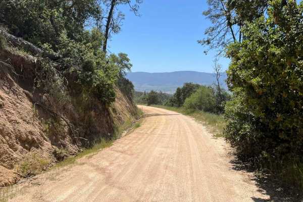
La Gloria Road
La Gloria Road is a graded, well-maintained dirt road that connects the Salinas Valley and US-101 with SR-25 in San Benito County. It is the closest connecting road between Eastern and Western Pinnacles (there is no road through Pinnacles). Access starts at the intersection with Camphora-Gloria Road...
Learn more about La Gloria Road
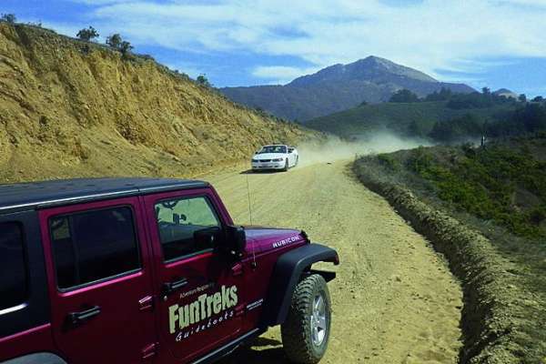
Old Coast Road
This winding dirt road meanders downhill through cool wooded valleys with large sycamore and redwood trees, then climbs steeply to scenic rangeland high above the Pacific coastline. Take binoculars to see every detail below, including the historic Point Sur Lighthouse. Old Coast is for street-legal ...
Learn more about Old Coast Road
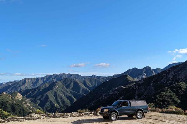
Tassajara
This is a beautiful, graded, well-maintained dirt road surrounded by the Ventana Wilderness. The road initially climbs an easy grade to Chews Ridge, then narrows and starts to descend a slightly more rocky and steep grade with incredible views of Black Butte, Black Cone, and Junipero Sera Peak, ulti...
Learn more about Tassajara
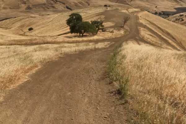
Juniper Trail
Juniper Trail is one of the park's primary connector routes, linking riders to the broader trail network. The trail features mostly smooth hardpack dirt with a mix of winding turns, climbs, and descents that make for an enjoyable ride.
As the route progresses, riders gain access to several steeper h...
Learn more about Juniper Trail
Badger
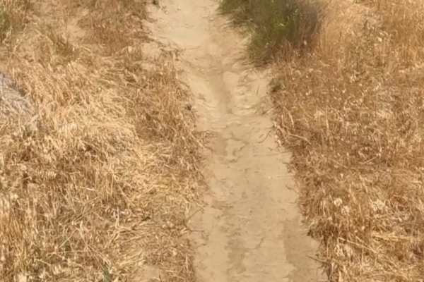
Badger Trail runs parallel to Ridge Trail, following the same hillside at a lower elevation. The route consists of firm hardpack dirt and a series of winding turns that contour along the slope. Technical obstacles are minimal, with few rocks or ruts to navigate. However, the steep hillside and narro...
Learn more about Badger
Red Trail
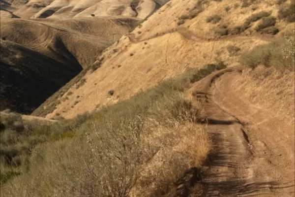
Juniper Trail is one of the park's primary connector routes, linking riders to the broader trail network. The trail features mostly smooth hardpack dirt with a mix of winding turns, climbs, and descents that make for an enjoyable ride.
As the route progresses, riders gain access to several steeper h...
Learn more about Red Trail
Sri Loop
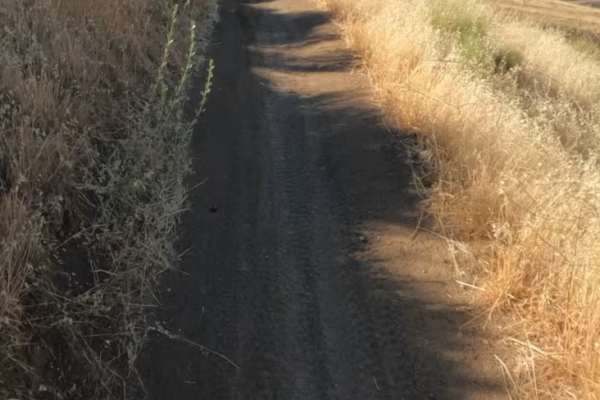
SRI Loop begins with a steep, winding descent on hardpack dirt. The trail follows a narrow, mostly groomed path with rolling terrain, featuring several steep climbs and descents along the way. Expect light rutting in places, but few significant obstacles. After the loop, you can enter the Golden Eag...
Learn more about Sri Loop
Golden Eagle
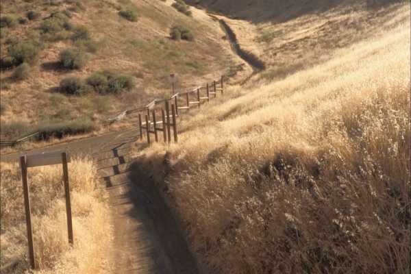
Golden Eagle Trail is a mellow hardpack dirt route that serves as a connector to SRI Loop and several other trails within the network. The trail is generally smooth and easy to follow, with a mix of steep climbs and descents along the way.
Riders traveling toward SRI Loop will need to cross a paved ...
Learn more about Golden Eagle
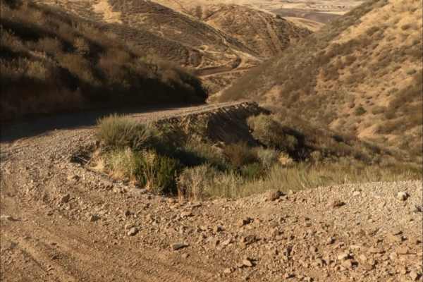
Kiln Trail
Kiln Trail is one of the primary entrances to the park. The route begins as a mellow hardpack dirt road leading to the park boundary, where signs outline park regulations and warn visitors about mountain lions. Shortly after entering, riders encounter the first notable obstacle: a steep climb with l...
Learn more about Kiln Trail
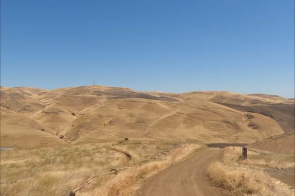
Los Osos Trail
The Los Osos Trail is one of the park's main connector routes, providing access to many of the surrounding trails and trail networks. The trail consists mostly of smooth, well-groomed hardpack dirt and offers an easy, enjoyable ride through the park.
Expect a mix of winding turns, gradual climbs, an...
Learn more about Los Osos Trail
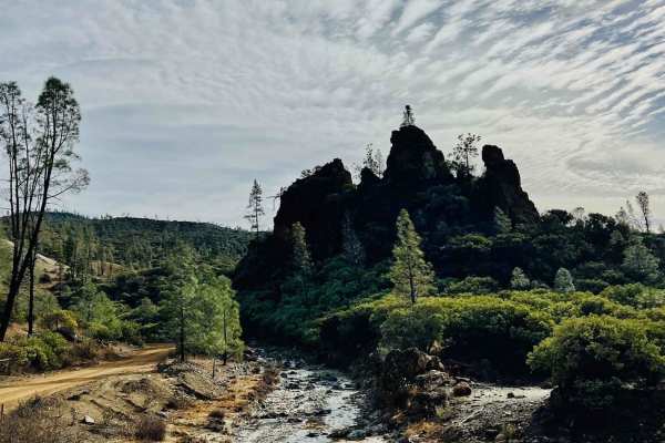
R1 Clear Creek Road
R1 Clear Creek Road lives up to its namesake by following the crisp, flowing waters of Clear Creek as it twists and winds through the canyon toward the hills. This trail provides an enjoyable adventure, rated as a 2, making it accessible for many vehicles. Be aware that there is no cell service alon...
Learn more about R1 Clear Creek Road
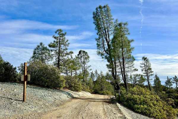
Aurora Cutoff R14
Aurora Cutoff R14 is a narrow two-track trail that traces the top of a ridge, leading you toward the historic Aurora Mine. This scenic route offers plenty of opportunities to explore single-track trails branching off to either side, inviting you to venture deeper into the area's rugged beauty. The m...
Learn more about Aurora Cutoff R14
New Idria Dam to Ghost Town
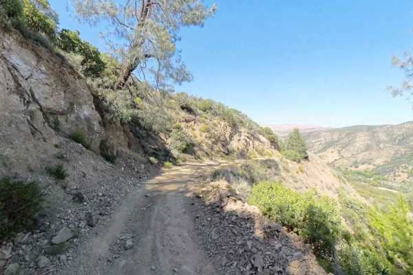
Beginning at the BLM gate southwest of New Idria Dam, this trail winds around the westerly side of the lake and canyon above the former mining town of New Idria. Descending 1,200 feet in elevation, the route will take you along an unpaved dirt path through several areas of switchbacks and narrow she...
Learn more about New Idria Dam to Ghost Town
Beginner ATV trails near Freedom, California
Explore ATV-friendly trails near you. These trails are accessible for vehicles up to 50 inches wide, perfect for ATVs and smaller off-road machines.
Juniper Trail
Juniper Trail is one of the park's primary connector routes, linking riders to the broader trail network. The trail features mostly smooth hardpack dirt with a mix of winding turns, climbs, and descents that make for an enjoyable ride.
As the route progresses, riders gain access to several steeper h...
Learn more about Juniper Trail
Badger
Badger Trail runs parallel to Ridge Trail, following the same hillside at a lower elevation. The route consists of firm hardpack dirt and a series of winding turns that contour along the slope. Technical obstacles are minimal, with few rocks or ruts to navigate. However, the steep hillside and narro...
Learn more about Badger
Red Trail
Juniper Trail is one of the park's primary connector routes, linking riders to the broader trail network. The trail features mostly smooth hardpack dirt with a mix of winding turns, climbs, and descents that make for an enjoyable ride.
As the route progresses, riders gain access to several steeper h...
Learn more about Red Trail
Sri Loop
SRI Loop begins with a steep, winding descent on hardpack dirt. The trail follows a narrow, mostly groomed path with rolling terrain, featuring several steep climbs and descents along the way. Expect light rutting in places, but few significant obstacles. After the loop, you can enter the Golden Eag...
Learn more about Sri Loop
Beginner UTV/side-by-side trails near Freedom, California
Find UTV and side-by-side trails near you. These trails accommodate vehicles up to 60 inches wide, ideal for UTVs, side-by-sides, and wider off-road rigs.
Juniper Trail
Juniper Trail is one of the park's primary connector routes, linking riders to the broader trail network. The trail features mostly smooth hardpack dirt with a mix of winding turns, climbs, and descents that make for an enjoyable ride.
As the route progresses, riders gain access to several steeper h...
Learn more about Juniper Trail
Kiln Trail
Kiln Trail is one of the primary entrances to the park. The route begins as a mellow hardpack dirt road leading to the park boundary, where signs outline park regulations and warn visitors about mountain lions. Shortly after entering, riders encounter the first notable obstacle: a steep climb with l...
Learn more about Kiln Trail
Los Osos Trail
The Los Osos Trail is one of the park's main connector routes, providing access to many of the surrounding trails and trail networks. The trail consists mostly of smooth, well-groomed hardpack dirt and offers an easy, enjoyable ride through the park.
Expect a mix of winding turns, gradual climbs, an...
Learn more about Los Osos Trail
R1 Clear Creek Road
R1 Clear Creek Road lives up to its namesake by following the crisp, flowing waters of Clear Creek as it twists and winds through the canyon toward the hills. This trail provides an enjoyable adventure, rated as a 2, making it accessible for many vehicles. Be aware that there is no cell service alon...
Learn more about R1 Clear Creek Road
The onX Offroad Difference
onX Offroad combines trail photos, descriptions, difficulty ratings, width restrictions, seasonality, and more in a user-friendly interface. Available on all devices, with offline access and full compatibility with CarPlay and Android Auto. Discover what you're missing today!
Open Trail Map