
Beginner Off-Road Trails
Near Fordland, Missouri
Explore All Beginner Trails Near Fordland, Missouri
Beginner Off-Road Trails Near Fordland, Missouri
Discover the best beginner-friendly off-road trails near you. These easier, lower-rated trails are a great place to start — browse trail maps, check difficulty ratings, and find your next adventure.
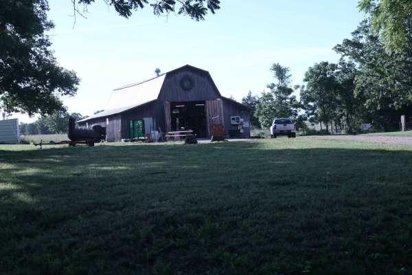
Bohmont Road
This is the main road into Soggy Bottoms MX Park and provides access to the main check-in barn, MX track parking lot, SxS flat track, camping area, and park trailhead. This road is primarily used for entering and exiting the MX and camping areas. A smaller rock trail runs alongside this road and is ...
Learn more about Bohmont Road
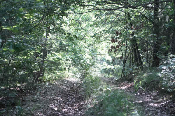
East Ridge Loop
This trail features a steep climb with loose rocks and small rock ledges, along with tight, off-camber turns and deep ruts. The trail is heavily overgrown in several areas, making the route difficult to follow at times. A 74-inch-wide machine can make it through, but some sections are very tight and...
Learn more about East Ridge Loop
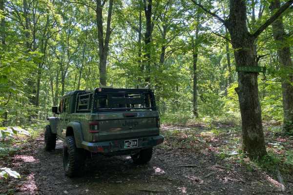
Bar-B-Q
This is a side trail you can take from Cherokee Pass back up to High Mountain Road, or you can take this trail from High Mountain Road and drop onto Cherokee Pass. From High Mountain Road, this is a nice easy trail. This trail is not traveled all that much, so there is plenty of overgrowth from tree...
Learn more about Bar-B-Q
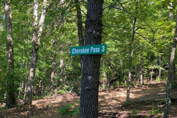
Cherokee Pass
Cherokee Pass is an offshoot trail towards the top of Brixey Hill. This is a scenic drive through the winding trees, with some spots being tighter to navigate for longer wheelbases. This trail does have areas that are rutted and will have mud puddles. You wil also encounter a few spots with steep gr...
Learn more about Cherokee Pass
Big Oak
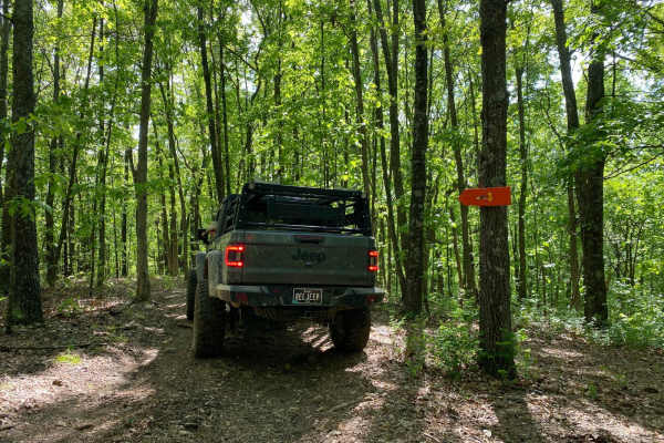
This is a very short bypass trail from Dead Beat back to Turkey Trot. There are no obstacles. This is more of a dirt or gravel road. There is a decently large oak tree at the end of the trail where it connects to Dead Beat. This trail is so short you will think you were never on it.
Learn more about Big Oak
Old Crow
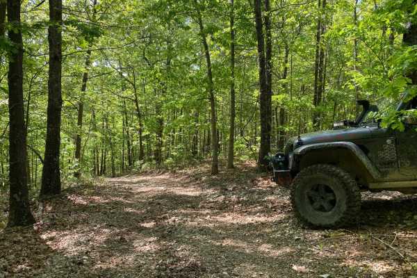
This is a short and sweet non-directional offshoot of Lone Wolf. There are some tight corners;some spots will be muddy. There is also a steep downhill if coming from where it meets Lone Wolf. This trail will reconnect you to Lone Wolf at the bottom or you can get onto a trail called Deadbeat.
Learn more about Old Crow
Turkey Trot
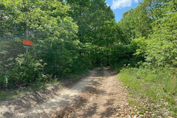
This is a non-directional loop trail. You will exit this trail the same way you came in. Turkey Trot crosses over a trail called Deadbeat twice along the way. There are areas of slight off-camber, as well as an area with small rock obstacles/ledges. This is a scenic drive that winds through the tree...
Learn more about Turkey Trot
Lone Wolf
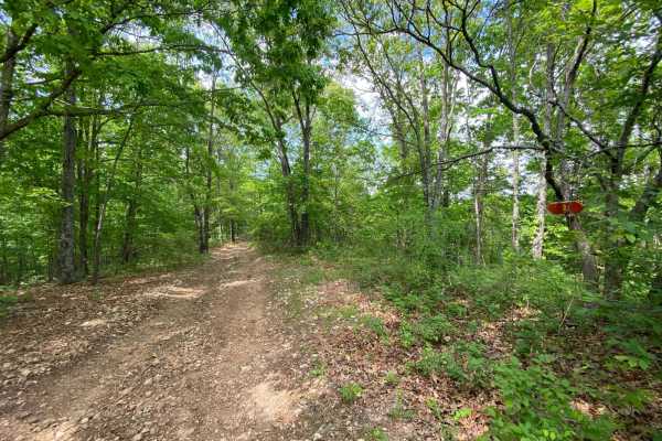
This is a non-directional loop trail. This trail has some tight corners for longer-wheelbase vehicles. There is a section with small rock obstacles. One side of the loop has a steep hill to climb or go down. A vehicle with 4WD with low range is recommended. You will exit the same way you entered the...
Learn more about Lone Wolf
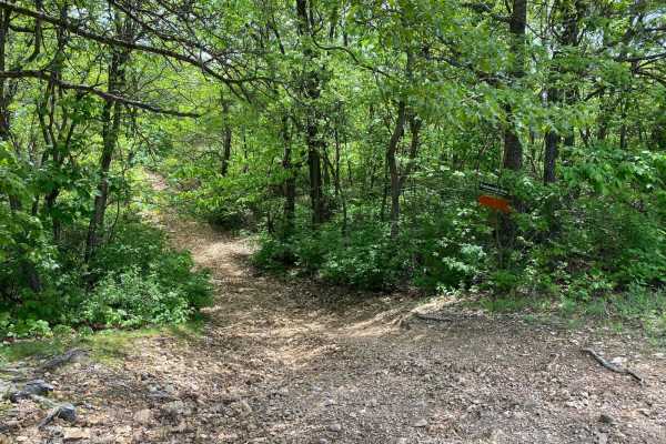
Eastwood Drive
Eastwood Drive is a 3-mile-long scenic drive that winds through the trees. There are some tight turns for longer-wheelbase vehicles. You will come to an area with a small washout but you can get past it. Depending on recent rainfall and use of the trail, it could get worse over time. You will also c...
Learn more about Eastwood Drive
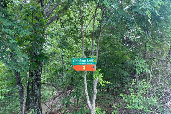
Chicken Leg
Chicken Leg is a short trail off of Ranch Road that leads to a trail called Lost Bridge and continues onto Frontage Road and Backwoods Road. The beginning of the trail is a slightly steep downhill that is rutted due to use and water erosion. This also means some sections will be slightly off-camber....
Learn more about Chicken Leg
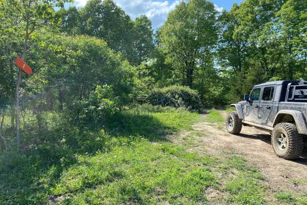
Crooked
This is a non-directional loop trail and it can be run from either end. There are some hills but they have gradual grades. Crooked connects to the Rattler Bypass. There are some areas with overgrowth but not too much. It's a very relaxing scenic trail that winds through the trees. There are some tig...
Learn more about Crooked
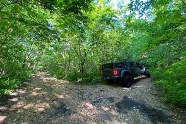
Keller Circle
There is no signage for Keller Circle. It begins where Brixey Road ends and stops where Whitey's Hideout begins. This trail is very overgrown as it is one of the least traveled trails on the southwest corner of the park. There is a small dip in the trail that isn't all that noticeable until you are ...
Learn more about Keller Circle
Whitey's Hideout
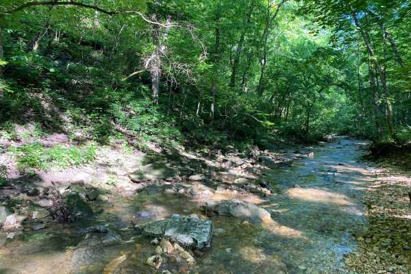
Whitey's Hideout is one of the trails at the back of the park. If you run it all the way from Keller Circle, it will lead you to the park boundaries. There is a turnaround at the end of the trail that has a very nice quiet spot to relax and catch a bite to eat for lunch. At this point, it may be bet...
Learn more about Whitey's Hideout

Backwoods Road
Backwoods Road is a dirt road that branches off of Ranch Road and leads to other trails. Backwoods Road is suitable for any vehicle. It is very dusty when there has not been recent rainfall. Backwoods Road will lead you to trails like Cold Mountain, Turkey Trot, Cougar Crossing, and Jagermeister.
Learn more about Backwoods Road
Rodeo Avenue
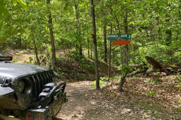
This will lead you on a scenic drive that winds through the trees. There will be mud puddles along the way. Any vehicle whether 2WD or 4WD will be able to complete this trail. This trail will connect to other trails at the Rope Swing Tree off of Ranch Road.
Learn more about Rodeo Avenue
Ridgeline Road
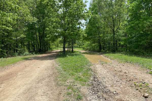
This is a short and sweet nondirectional offshoot of Ranch Road. This trail offers a few good spots to pull over and eat lunch or grab a quick snack. There are no obstacles on this trail. There are a few spots with mud holes and mud puddles, but there are bypasses around them.
Learn more about Ridgeline Road
Opossum Run
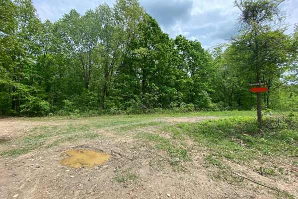
This is a non-directional loop trail. It can be run from either end. This will be a scenic drive as you wind through the trees. Opossum Run starts flat and then comes to steep grades up and down. To get here, you must first take Ridgeline Road. You can also be connected to trails like Cut Up and Dis...
Learn more about Opossum Run
Gaucho
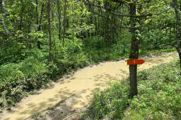
This is a short and sweet non-directional offshoot of Ridgeline. There are no obstacles on this trail. There are a few spots with mud holes and mud puddles but there are bypasses around them. This trail can connect you to Cold Mountain, Colt 45, Ridgeline, or Snow Trail.
Learn more about Gaucho
Boomerang
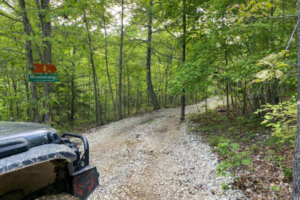
This trail is an offshoot from Sidewinder. This trail can also be accessed from the entrance of Bronco Buster on the left-hand side. Any vehicle should be able to complete this trail as there are no obstacles. Instead, this is a scenic trail through the trees. There is a tree along the way that look...
Learn more about Boomerang
Cut Up
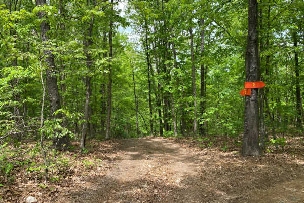
Cut Up is an off-shoot trail from Opossum Run. This is a non-directional trail that can be run from either end. This trail has steep grades up and down at the entrance and exit. Some areas are slightly off-camber. You will come to a junction of trails for Comanche Hallow and Largo. At this junction,...
Learn more about Cut Up
Beginner ATV trails near Fordland, Missouri
Explore ATV-friendly trails near you. These trails are accessible for vehicles up to 50 inches wide, perfect for ATVs and smaller off-road machines.
East Ridge Loop
This trail features a steep climb with loose rocks and small rock ledges, along with tight, off-camber turns and deep ruts. The trail is heavily overgrown in several areas, making the route difficult to follow at times. A 74-inch-wide machine can make it through, but some sections are very tight and...
Learn more about East Ridge Loop
129
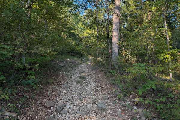
Chadwick Trail 129 is mostly a gradual climb from north to south, gaining about 260 feet in elevation over .8 miles. It’s a very narrow trail traversing up a hillside, with lots of chunky loose rock and slabs of rock. There are roots sticking out and tree gaps that would likely be quite narrow for a...
Learn more about 129
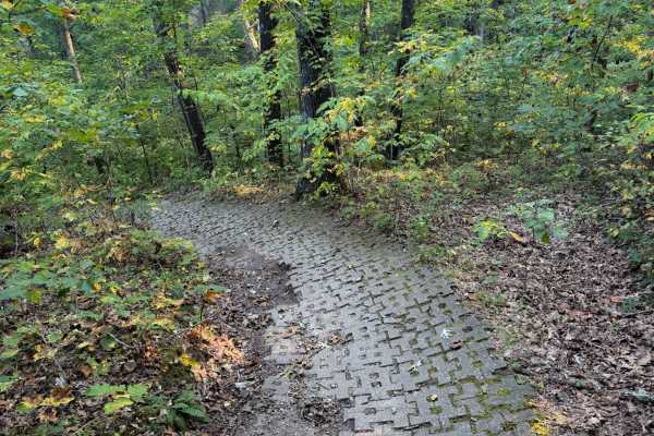
132a
Chadwick Trail 132a is a 1.1-mile-long ATV trail that connects Trail 130 to the intersection with Trails 131 and 132. It mostly weaves through a tight forest on a narrow dirt path with minor loose rock and roots. There are cinder blocks reinforcing the path at times to prevent erosion, and the trail...
Learn more about 132a
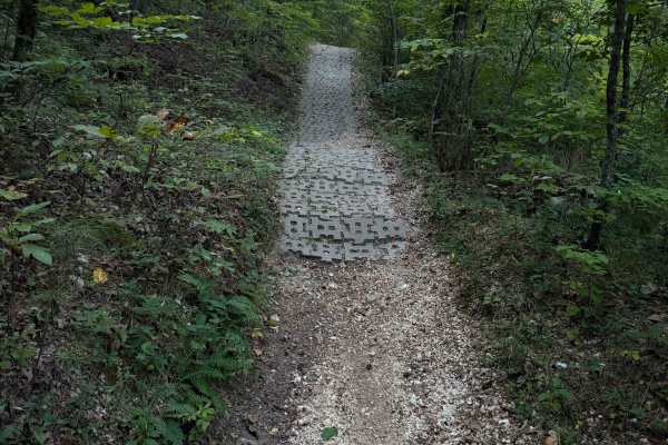
130
Chadwick Trail 130 makes a 1.2-mile loop off of Lookout Road in the Chadwick Motorized Trail System. Going clockwise, it starts off as a narrow ATV trail weaving through a tight forest above a ravine. It enters the ravine, riding on packed-down small loose rocks. This will likely be very tight for A...
Learn more about 130
Beginner UTV/side-by-side trails near Fordland, Missouri
Find UTV and side-by-side trails near you. These trails accommodate vehicles up to 60 inches wide, ideal for UTVs, side-by-sides, and wider off-road rigs.
East Ridge Loop
This trail features a steep climb with loose rocks and small rock ledges, along with tight, off-camber turns and deep ruts. The trail is heavily overgrown in several areas, making the route difficult to follow at times. A 74-inch-wide machine can make it through, but some sections are very tight and...
Learn more about East Ridge Loop
Bar-B-Q
This is a side trail you can take from Cherokee Pass back up to High Mountain Road, or you can take this trail from High Mountain Road and drop onto Cherokee Pass. From High Mountain Road, this is a nice easy trail. This trail is not traveled all that much, so there is plenty of overgrowth from tree...
Learn more about Bar-B-Q
Cherokee Pass
Cherokee Pass is an offshoot trail towards the top of Brixey Hill. This is a scenic drive through the winding trees, with some spots being tighter to navigate for longer wheelbases. This trail does have areas that are rutted and will have mud puddles. You wil also encounter a few spots with steep gr...
Learn more about Cherokee Pass
Big Oak
This is a very short bypass trail from Dead Beat back to Turkey Trot. There are no obstacles. This is more of a dirt or gravel road. There is a decently large oak tree at the end of the trail where it connects to Dead Beat. This trail is so short you will think you were never on it.
Learn more about Big Oak
The onX Offroad Difference
onX Offroad combines trail photos, descriptions, difficulty ratings, width restrictions, seasonality, and more in a user-friendly interface. Available on all devices, with offline access and full compatibility with CarPlay and Android Auto. Discover what you're missing today!
Open Trail Map