
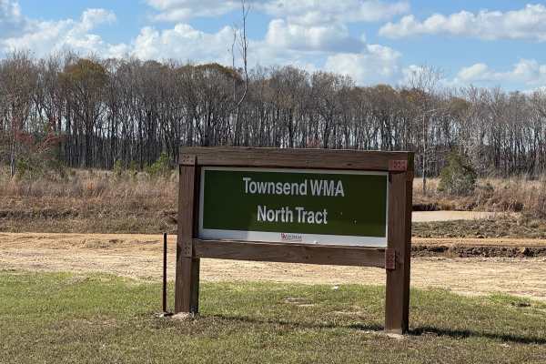
Beginner Off-Road Trails
Near Eulonia, Georgia
Explore All Beginner Trails Near Eulonia, Georgia
Beginner Off-Road Trails Near Eulonia, Georgia
Discover the best beginner-friendly off-road trails near you. These easier, lower-rated trails are a great place to start — browse trail maps, check difficulty ratings, and find your next adventure.
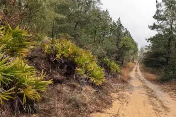
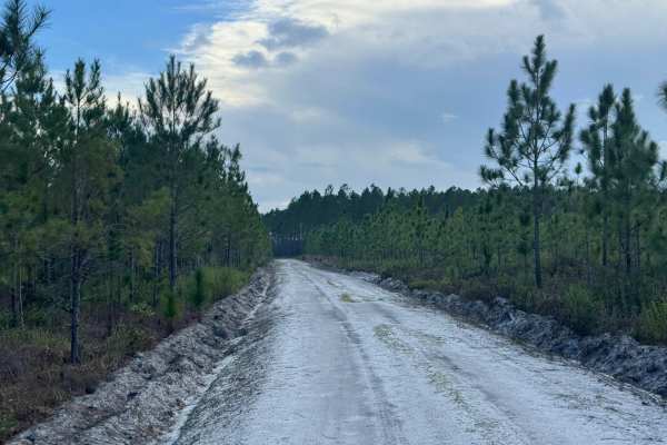
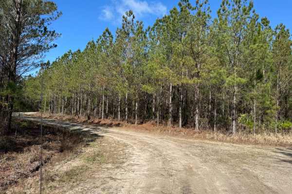
Trail to Wesley Lake
This trail is a combination of sandy, water crossing (which could be deep at times, so be mindful of tides and Rainfall), and has a gravel bottom where it needs to be to help with the water crossing to a hidden lake deep in the southeast woods of Georgia. Please be mindful of the water crossing dept...
Learn more about Trail to Wesley Lake
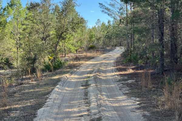
Trail to Miller Landing
Southeast Georgia's typical trail runs from sandy bottoms to small rocks and even some small water crossings. This trail leads to a beautiful landing called Miller Landing, where you can swim, fish, or put your kayaks or small boats in the water. This area is also great for having lunch or spending ...
Learn more about Trail to Miller Landing

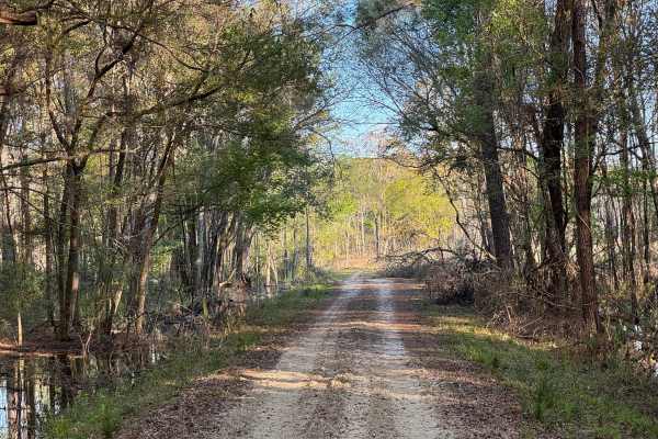
Barrington Ferry
Barrington Ferry is a sandy run down to Barrington County Campground and boat launch. Free camping and river access are available to Harper Lake, connecting to the Altamaha River. It is a fairly well-maintained road that can become soft and challenging after some rain. While towing, you have to pick...
Learn more about Barrington Ferry
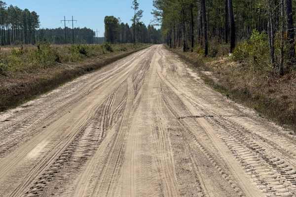
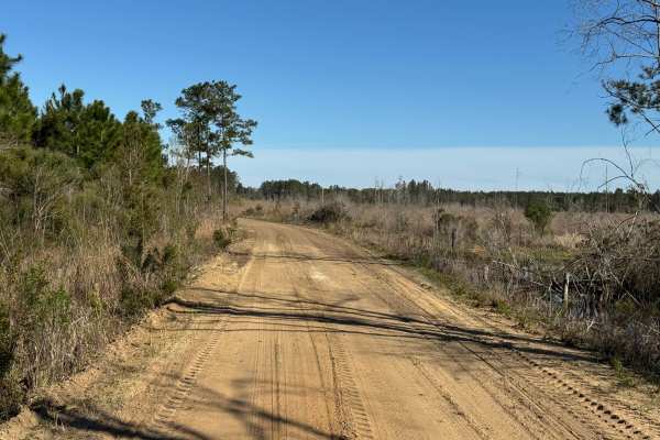
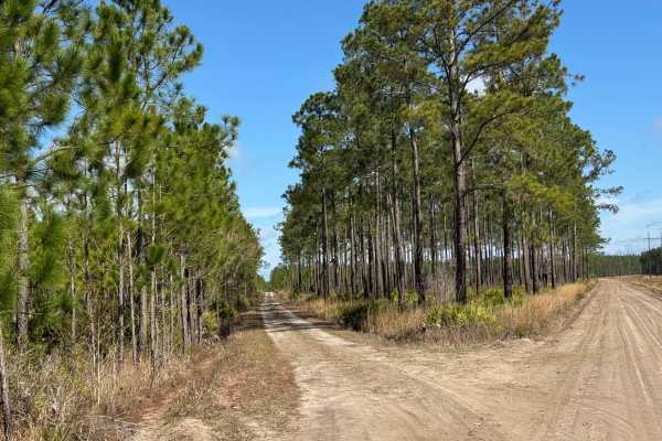
River Road
River Road is a wide, straightforward dirt road consisting primarily of packed sand that can become soft and unpredictable during long dry weather stretches. It can be traveled in most two-wheel drive vehicles with care. River Road connects to the northern reaches of the Sansavilla WMA, providing ac...
Learn more about River Road
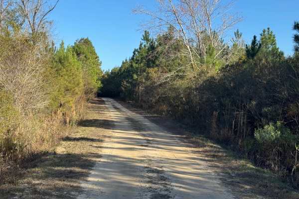
Canal Branch Road
Canal Branch Road runs the full spectrum of road base as it travels from Howard Road on the north end, where it is a wide, dry sandy road with numerous hunting path offshoots, to wet dirt and mud on the south end, where pines have been harvested. Even though the trail carries an easy rating, it is n...
Learn more about Canal Branch Road
Sawgrass Road
Sawgrass Road acts as a connector trail between Jackson Island Road, Rump Road, and Sawgrass Road. It is packed sand and is usually well-maintained by using a road grader. It traverses mostly harvested areas of the WMA, so any wildlife can be easily seen from the road. Morning and early evening are ...
Learn more about Sawgrass Road
Jackson Island Road
Jackson Island Road passes through the most diverse range of land types, from cypress swamp to pine thickets, with an equally diverse range of wildlife viewing. Over most of its length, the areas on either side of the road have not been harvested, so the trail feels like a true ride in the woods. Th...
Learn more about Jackson Island Road
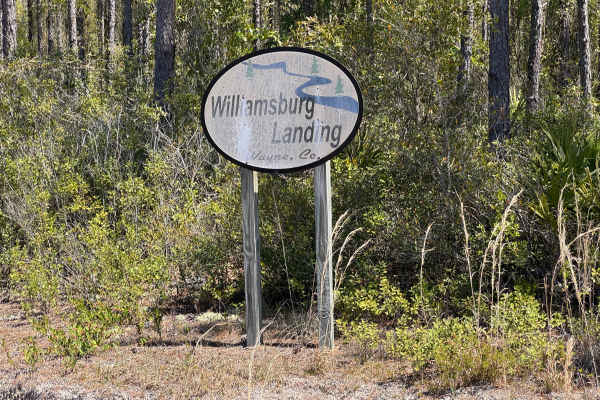
Williamsburg Landing
The Williamsburg Landing trail is an out-and-back trail providing direct access to the Williamsburg Landing boat ramp. The northeast half of the trail, starting at the intersection of River Road and leading to the boat ramp, is hard-packed dirt and easily two vehicles wide and well-maintained. The s...
Learn more about Williamsburg Landing
Violet Drive
Violet Drive is another shortcut between Church Road and a private residential area along Howard Road. The trail doesn't seem to get much traffic, as there are large areas where the trail bed is grass. There are some younger southern pines and areas of scrub along the eastern end, and stands of larg...
Learn more about Violet Drive
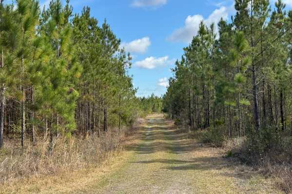
Lily Road
Lily Road is primarily a north/south trail connecting River Road to Violet Drive. From the north end at River Road, the trail is nearly two vehicles wide and well-maintained, packed dirt. There is an unmapped cross-trail at about the mid-point, and from there south to the end, the trail transforms i...
Learn more about Lily Road
Doe Road
Doe Road parallels Middleton Lake Road but extends southbound to access more trails in the southern section of the Townsend WMA. It is just one lane wide but has places to pass as it runs through stands of southern pine and oak scrub. The surface is packed sand that can soften considerably in dry we...
Learn more about Doe Road
Lyles Old Field
Lyles Old Field trail begins along Rump Road at its western end and runs southeast. The trail consists of packed sand and grass, so it is an easy trail to drive, even in a two-wheel drive vehicle. It passes primarily through pine thickets and tall grassy areas. Lyles Old Field is a popular bird-watc...
Learn more about Lyles Old Field
Flowing Well Road
Flowing Well Road used to terminate at both ends into Lyles Old Field Road. However, a large swampy area near its southeastern end proved difficult to maintain safe passage, so the trail was split, with this part being the major section. The shorter section originates along Lyle's Old Field road but...
Learn more about Flowing Well Road
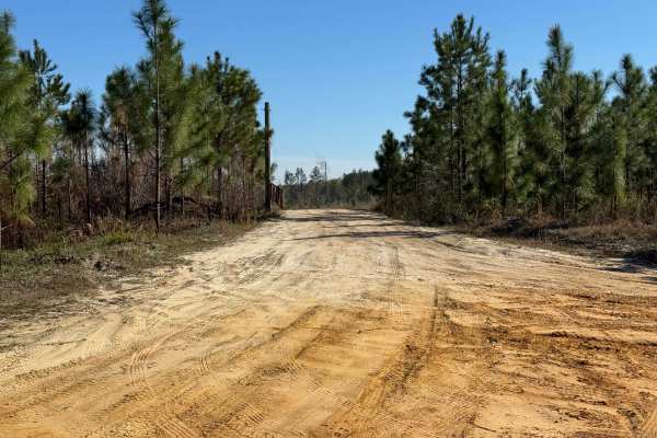
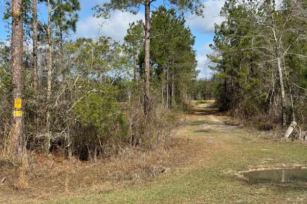
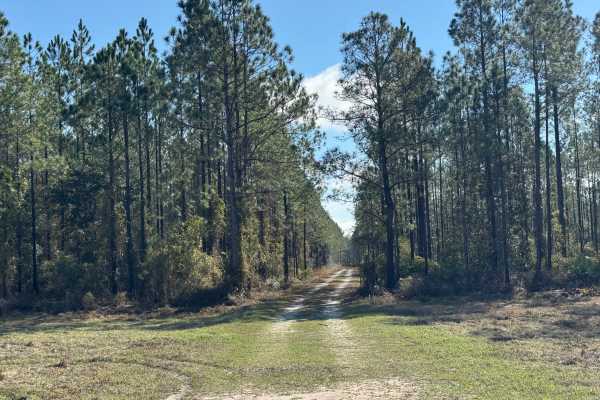
Middleton Lake Road
Middleton Lake Road is a through trail that travels just over five miles into the middle section of the Townsend WMA. On the north section, the trail is wide and well-maintained by graders. About two and a half miles from the northern trailhead at Old Barrington Road, there is a large primitive cam...
Learn more about Middleton Lake Road
Clay Hill Road
Clay Hill Road is a shortcut between Church Road and a private residential area along Howard Road. Beginning on the western trailhead, the mostly straight trail travels through stands of very tall mature southern pine trees that tower over the trail and give the feel of driving through a deep ravine...
Learn more about Clay Hill Road
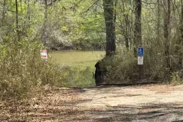
Cogden Lake Road
Cogden Lake Road is an out-and-back trail leading to the Cogden Lake boat ramp and Cogden Lake. The trail is accessed from the north end of Hinson Road. It's a mainly straight trail with a slight jog midway and is made up of a packed dirt base with several sections reinforced with crushed gravel. Th...
Learn more about Cogden Lake Road
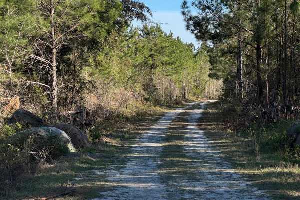
Strut Road
Strut Road is a gentle single vehicle-wide trail with a few shallow water crossings and a mudhole or two that can add some challenge during wet weather. There is one soft sand section near Rump Road that deserves attention to keep moving. The trail starts along the western end of Rump Road and conn...
Learn more about Strut Road
Pea Patch Loop
It's assumed that there used to be some farmland along Pea Patch Trail, but the only farming there currently is of southern pines. Pea Patch Trail has just enough twists and turns to add a sense of curiosity to the ride, while the trail base is mostly packed dirt with several grassy spots. There is ...
Learn more about Pea Patch Loop
Church Road
Church Road trail is a 3-mile point-to-point dirt road that splits north off of Sansavilla Road, traveling along the western side of the WMA, eventually connecting to asphalt at Aiken Road. The Aiken Road trailhead can be used as a scenic offroad shortcut from the Penholoway Swamp area back down to ...
Learn more about Church Road
Brown Road
Brown Road is a shortcut between Williamsburg Landing and Church Road. It is packed sand and grass with several low areas that have been reinforced with crushed rock. Half of the trail runs through grassland, and the other half runs through a stand of young southern pine trees, making for a pleasant...
Learn more about Brown Road
Beginner ATV trails near Eulonia, Georgia
Explore ATV-friendly trails near you. These trails are accessible for vehicles up to 50 inches wide, perfect for ATVs and smaller off-road machines.
Orangeburg Road
Explore a blackwater oasis along the Savannah River in Hampton County. The major property is the Webb Wildlife Center with the Palachucola and Hamilton Ridge areas on either side. Many of the trails though the property cross between these three areas; it is to be noted that gates can close with no u...
Learn more about Orangeburg Road
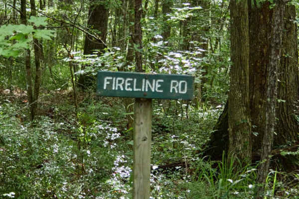
Fireline Road
Explore a blackwater oasis along the Savannah River in Hampton County. The major property is the Webb Wildlife Center with the Palachucola and Hamilton Ridge areas on either side. Many of the trails through the property cross between these three areas; it is to be noted that gates can close with no ...
Learn more about Fireline Road
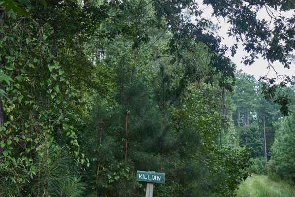
Killian Swamp Road
Explore a blackwater oasis along the Savannah River in Hampton County. The major property is the Webb Wildlife Center with the Palachucola and Hamilton Ridge areas on either side. Many of the trails through the property cross between these three areas; note that the gates can close with no upfront n...
Learn more about Killian Swamp Road
Borrow Pit Road
Explore a blackwater oasis along the Savannah River in Hampton County. The major property is the Webb Wildlife Center with the Palachucola and Hamilton Ridge areas on either side. Many of the trails through the property cross between these three areas; note that the gates can close with no upfront n...
Learn more about Borrow Pit Road
Beginner UTV/side-by-side trails near Eulonia, Georgia
Find UTV and side-by-side trails near you. These trails accommodate vehicles up to 60 inches wide, ideal for UTVs, side-by-sides, and wider off-road rigs.
Trail to Wesley Lake
This trail is a combination of sandy, water crossing (which could be deep at times, so be mindful of tides and Rainfall), and has a gravel bottom where it needs to be to help with the water crossing to a hidden lake deep in the southeast woods of Georgia. Please be mindful of the water crossing dept...
Learn more about Trail to Wesley Lake
Trail to Miller Landing
Southeast Georgia's typical trail runs from sandy bottoms to small rocks and even some small water crossings. This trail leads to a beautiful landing called Miller Landing, where you can swim, fish, or put your kayaks or small boats in the water. This area is also great for having lunch or spending ...
Learn more about Trail to Miller Landing
Bullard Altamaha River Loop
Central Georgia woods in country farm land trail that is very scenic with vegetation and animals. This trail follows along the Altamaha River that the World Famous Survivor Man Show couldn't complete. Watch to see Deer, Small Game, Turtles, and Alligators. This trail also crosses the Georgia Overlan...
Learn more about Bullard Altamaha River Loop
Orangeburg Road
Explore a blackwater oasis along the Savannah River in Hampton County. The major property is the Webb Wildlife Center with the Palachucola and Hamilton Ridge areas on either side. Many of the trails though the property cross between these three areas; it is to be noted that gates can close with no u...
Learn more about Orangeburg Road
The onX Offroad Difference
onX Offroad combines trail photos, descriptions, difficulty ratings, width restrictions, seasonality, and more in a user-friendly interface. Available on all devices, with offline access and full compatibility with CarPlay and Android Auto. Discover what you're missing today!
Open Trail Map