
Beginner Off-Road Trails
Near Ennis, Montana
Explore All Beginner Trails Near Ennis, Montana
Beginner Off-Road Trails Near Ennis, Montana
Discover the best beginner-friendly off-road trails near you. These easier, lower-rated trails are a great place to start — browse trail maps, check difficulty ratings, and find your next adventure.
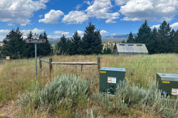
Granite Creek Road (161/49)
This is a regularly maintained Forest Service Road that takes you from the Tobacco Mountains down to Highway 287, approximately 3 miles southwest of Nevada City, Montana. The route takes you to some very interesting viewpoints. A waypoint is included with this track that you don't want to miss. It i...
Learn more about Granite Creek Road (161/49)
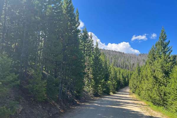
Virginia Creek (1249)
The Tobacco Mountains are a fun day of exploring lots of shorter side trails. The amount of time here really depends on how much exploring you want to do. There is nothing extremely difficult here from a trail perspective; in fact, this is a great area for the less experienced driver to get some whe...
Learn more about Virginia Creek (1249)
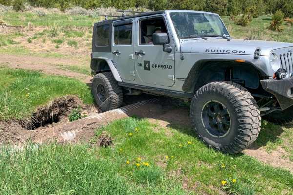
Axolotl Lakes Road
Axolotl Lakes Road is like a fine sampling of the beauty Montana has to offer. It begins in one of the state's charming towns, Virginia City, complete with weathered wooden buildings and small restaurants and bars loaded with character. It then climbs into the hills, giving you a taste of its lonely...
Learn more about Axolotl Lakes Road
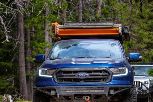
Barton Gulch
The Barton Gulch trail is a scenic drive that runs across the northern reaches of the Gravelly Range in Montana. Explore its winding two-tracks, and you'll witness abandoned cabins nestled by babbling brooks, open meadows with mountain views, and rugged ridgeline climbs towards that famous big sky. ...
Learn more about Barton Gulch
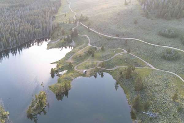
Sureshot Lakes
The trail travels to Sureshot and Upper Sureshot Lakes before climbing up and down a mountain saddle via a series of switchbacks. The trail travels in and out of pine forest with great views along the way. A mix of offroad and OHV vehicles use the trail. Stay on designated trails. Pack out trash. Dr...
Learn more about Sureshot Lakes
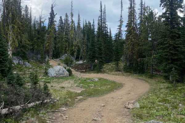
Cliff Lake Trail
Cliff Lake Trail is a short, scenic route designed specifically for 50-inch ATVs and dirt bikes, offering riders direct access to a stunning alpine lake with excellent fishing. Despite appearing wide enough for larger rigs or SxSs, this trail is strictly limited to narrower off-road vehicles. Spanni...
Learn more about Cliff Lake Trail
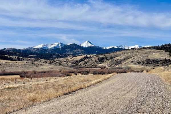
Revenue Flats BLM
Tucked into the Madison Valley just west of Norris, Revenue Flats is one of southwestern Montana's best-kept secrets — a sprawling BLM playground offering free dispersed camping, rock climbing, mountain biking, and wide-open riding just 36 miles from Bozeman. Sweeping views of the Tobacco Root and M...
Learn more about Revenue Flats BLM
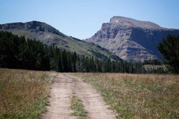
Buck Ridge ATV
Buck Ridge is a long ATV trail (11 miles) through the Gallatin National Forest south of Big Sky, Montana. The majority of the trail goes along a wide ridge line with incredible views out over the Lee Metcalf Wilderness. It's a really wide flat and smooth dirt trail. There's hardly any rock the whole...
Learn more about Buck Ridge ATV
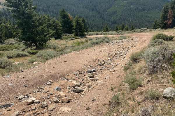
Barton Gulch and Offshoots
Beautiful trail with awesome views. Easy trail that gets narrow in spots and had some low hanging fallen trees that could be an issue if you don't want scratches in your paint. Stock 4x4s won't have a problem. Gravelly range is closed during the winter so summer time or late spring is the best time ...
Learn more about Barton Gulch and Offshoots
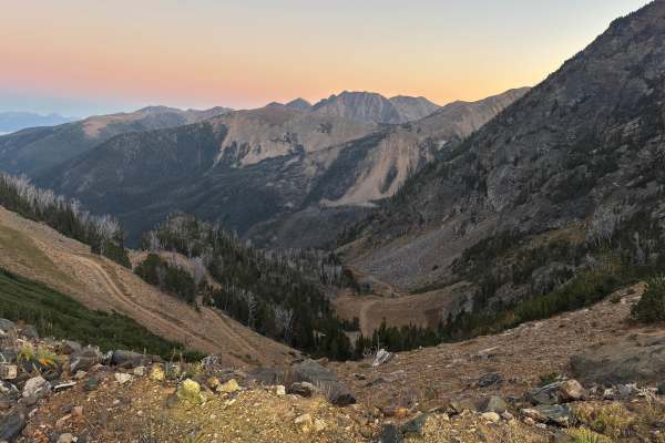
Tobacco Gold Pass
This old mining road off Granite Lake Road features granite faces and expansive views of the Tobacco Root Mountains. The surface is dirt and stretches of loose rock, generally passable in dry conditions. A few pull-offs provide dispersed camping opportunities. The trail ends at a saddle that marks t...
Learn more about Tobacco Gold Pass
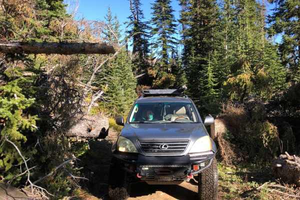
Granite Lake
Fairly easy trail with some great views. Trail got narrow in some spots from freshly cut trees. Some quick switchbacks could be challenging in a longer wheelbase. Not a lot of traffic on the trail and obstacles were mostly the rutted dirt trail. Some loose rocks but nothing to worry about.
Learn more about Granite Lake
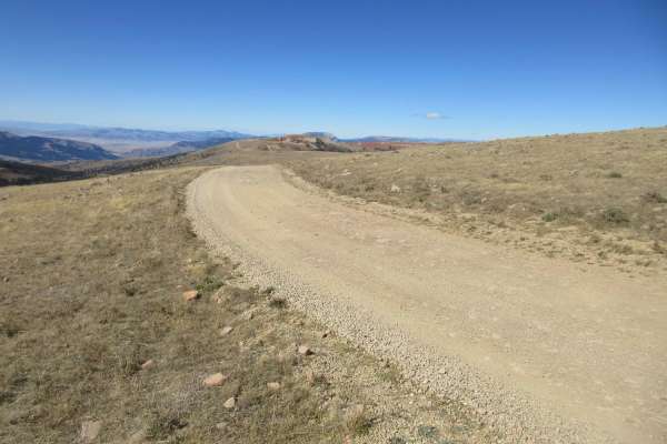
Gravelly Range Road (FS290) (Partial)
Gravelly Range Road is a very long road that runs from Red Rock Lakes Road west of the Island Park, ID to a point just east of Virginia City, MT. The section of road included herein is approximately 14.5 miles that connects FS237 to Warm Springs Road (FS163). This is a beautiful drive along the top ...
Learn more about Gravelly Range Road (FS290) (Partial)
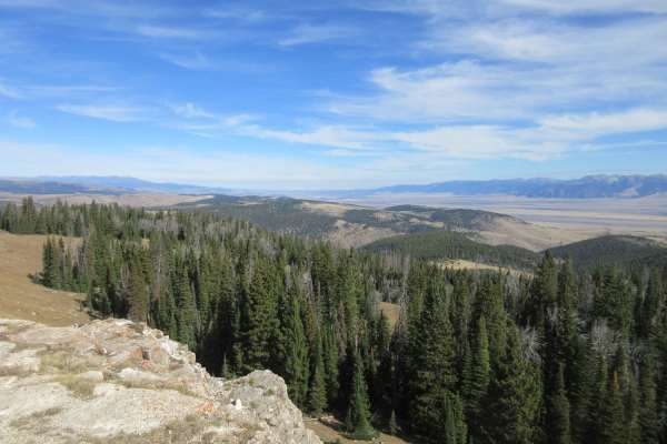
Johnny Ridge Road - FS324
This trail offers either an opportunity to leave the ridge on Gravelly Range Road and descend to a trailhead at McAtee Bridge near State Highway 287 or to climb up to Gravelly Range Road. This review will assume you are using this as a trailhead starting your adventure up to the spectacular views pr...
Learn more about Johnny Ridge Road - FS324
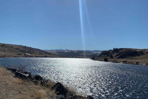
Buffalo Jump - Black Fords Fish Access
This is an easy trail with plenty of incredible scenery. Consisting of mostly dirt and gravel, the trail is typically maintained fairly well year-round. Depending on the time of year, you can expect to see bison roaming, a phenomenal view of the Madison River, and beautiful buttes and mountains. Alo...
Learn more about Buffalo Jump - Black Fords Fish Access
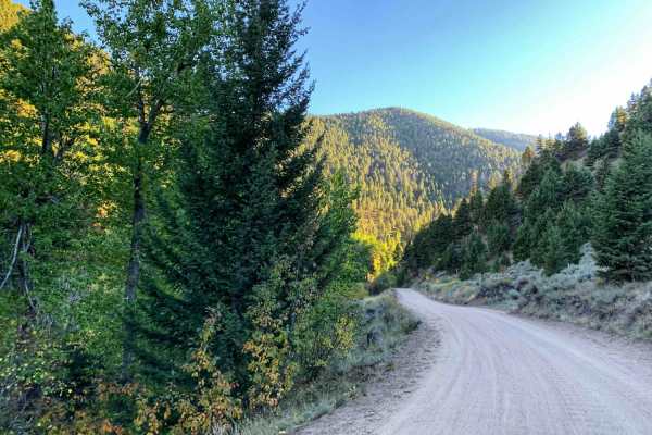
Potosi Willow Creek
This is an easy grated out and back dirt road begins through some open range before turning up into the mountains. Watch for range cattle on the road early in the trail. Once the trail starts heading up into the mountains a creek appears along the left side of the trail. There are a couple of areas ...
Learn more about Potosi Willow Creek
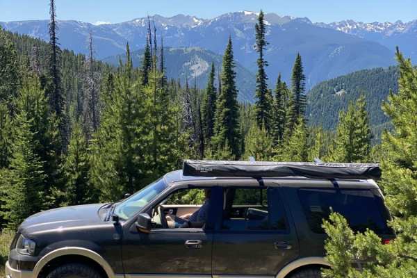
Wilson Creek Divide Road
Wilson Creek Divide Road offers an approachable yet incredibly scenic mountain drive for four-wheel-drive vehicles, SxSs, and high-clearance adventure seekers looking to transition from the Gallatin Valley into the rugged Gallatin National Forest. Spanning approximately 28 miles and reaching a maxim...
Learn more about Wilson Creek Divide Road
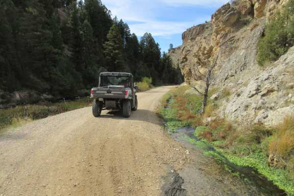
Warm Springs Creek Road (FA 163)/Cow Camp Road (FS 1234)
Warm Springs Creek Road takes you from the Gravelly Range ridgeline to Continental Divide/Upper Ruby Road. Assuming you start on the upper ridge along Gravelly Range Road, you go down the road looking back on the area you just traveled if you came up from FS 237 to Gravelly Ridge Road. This offers a...
Learn more about Warm Springs Creek Road (FA 163)/Cow Camp Road (FS 1234)
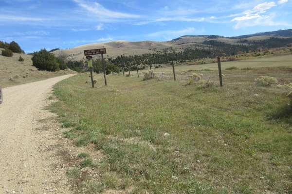
Continental Divide/Upper Ruby Road (FS100) (Parital)
This road is a main traffic corridor between the N Valley Road, near the southern MT border and Alder, MT. There are numerous homes and ranch buildings in the area with additional traffic. This input includes a very short segment of that FS100 road with long sections yet to be input. The road is two...
Learn more about Continental Divide/Upper Ruby Road (FS100) (Parital)
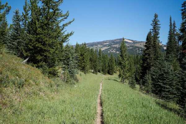
Cinnamon Meadow
Cinnamon Meadow starts at the intersection with Dead Horse Creek and Lizard Lakes and goes north for 1.3 miles and connects to Cinnamon Buck. The trail mostly descends for the 1.3 miles, with the steepest part right in the beginning. It's a shelfy wide path along the edge of a mountain, with ruts th...
Learn more about Cinnamon Meadow
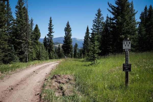
Lower Buck Ridge ATV
Lower Buck Ridge is a short ATV trail that is open 6/16 - 12/1 to vehicles 50" or less. The entire 2 miles of trail are a super wide dirt path. It looks more like an old road it's so wide. It's super easy the whole way, with hardly any rocks and mostly smooth dirt. Watch out for bikers and UTVs head...
Learn more about Lower Buck Ridge ATV
Beginner ATV trails near Ennis, Montana
Explore ATV-friendly trails near you. These trails are accessible for vehicles up to 50 inches wide, perfect for ATVs and smaller off-road machines.
Granite Creek Road (161/49)
This is a regularly maintained Forest Service Road that takes you from the Tobacco Mountains down to Highway 287, approximately 3 miles southwest of Nevada City, Montana. The route takes you to some very interesting viewpoints. A waypoint is included with this track that you don't want to miss. It i...
Learn more about Granite Creek Road (161/49)
Virginia Creek (1249)
The Tobacco Mountains are a fun day of exploring lots of shorter side trails. The amount of time here really depends on how much exploring you want to do. There is nothing extremely difficult here from a trail perspective; in fact, this is a great area for the less experienced driver to get some whe...
Learn more about Virginia Creek (1249)
Axolotl Lakes Road
Axolotl Lakes Road is like a fine sampling of the beauty Montana has to offer. It begins in one of the state's charming towns, Virginia City, complete with weathered wooden buildings and small restaurants and bars loaded with character. It then climbs into the hills, giving you a taste of its lonely...
Learn more about Axolotl Lakes Road
Barton Gulch
The Barton Gulch trail is a scenic drive that runs across the northern reaches of the Gravelly Range in Montana. Explore its winding two-tracks, and you'll witness abandoned cabins nestled by babbling brooks, open meadows with mountain views, and rugged ridgeline climbs towards that famous big sky. ...
Learn more about Barton Gulch
Beginner UTV/side-by-side trails near Ennis, Montana
Find UTV and side-by-side trails near you. These trails accommodate vehicles up to 60 inches wide, ideal for UTVs, side-by-sides, and wider off-road rigs.
Granite Creek Road (161/49)
This is a regularly maintained Forest Service Road that takes you from the Tobacco Mountains down to Highway 287, approximately 3 miles southwest of Nevada City, Montana. The route takes you to some very interesting viewpoints. A waypoint is included with this track that you don't want to miss. It i...
Learn more about Granite Creek Road (161/49)
Virginia Creek (1249)
The Tobacco Mountains are a fun day of exploring lots of shorter side trails. The amount of time here really depends on how much exploring you want to do. There is nothing extremely difficult here from a trail perspective; in fact, this is a great area for the less experienced driver to get some whe...
Learn more about Virginia Creek (1249)
Axolotl Lakes Road
Axolotl Lakes Road is like a fine sampling of the beauty Montana has to offer. It begins in one of the state's charming towns, Virginia City, complete with weathered wooden buildings and small restaurants and bars loaded with character. It then climbs into the hills, giving you a taste of its lonely...
Learn more about Axolotl Lakes Road
Barton Gulch
The Barton Gulch trail is a scenic drive that runs across the northern reaches of the Gravelly Range in Montana. Explore its winding two-tracks, and you'll witness abandoned cabins nestled by babbling brooks, open meadows with mountain views, and rugged ridgeline climbs towards that famous big sky. ...
Learn more about Barton Gulch
The onX Offroad Difference
onX Offroad combines trail photos, descriptions, difficulty ratings, width restrictions, seasonality, and more in a user-friendly interface. Available on all devices, with offline access and full compatibility with CarPlay and Android Auto. Discover what you're missing today!
Open Trail Map