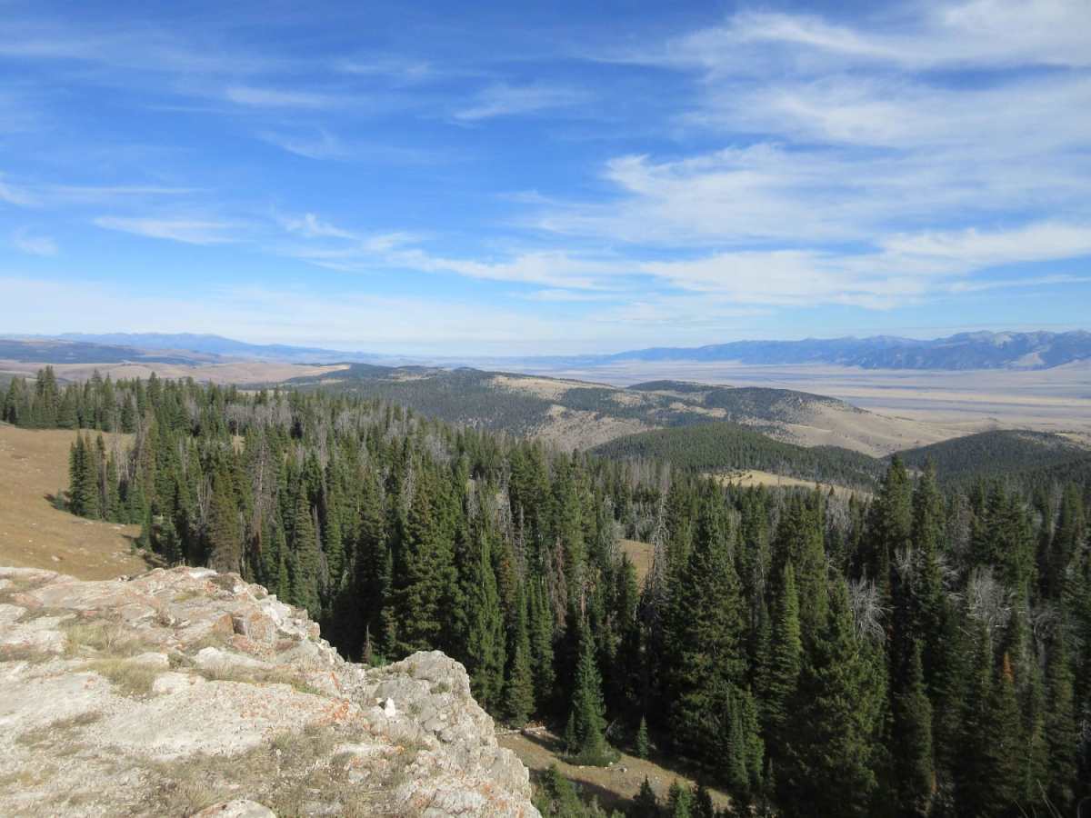
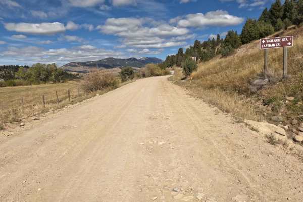
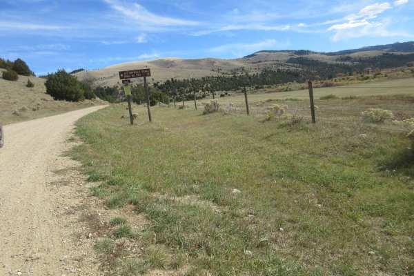
Trail Overview
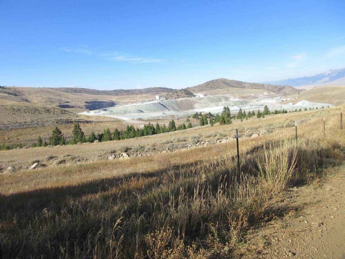
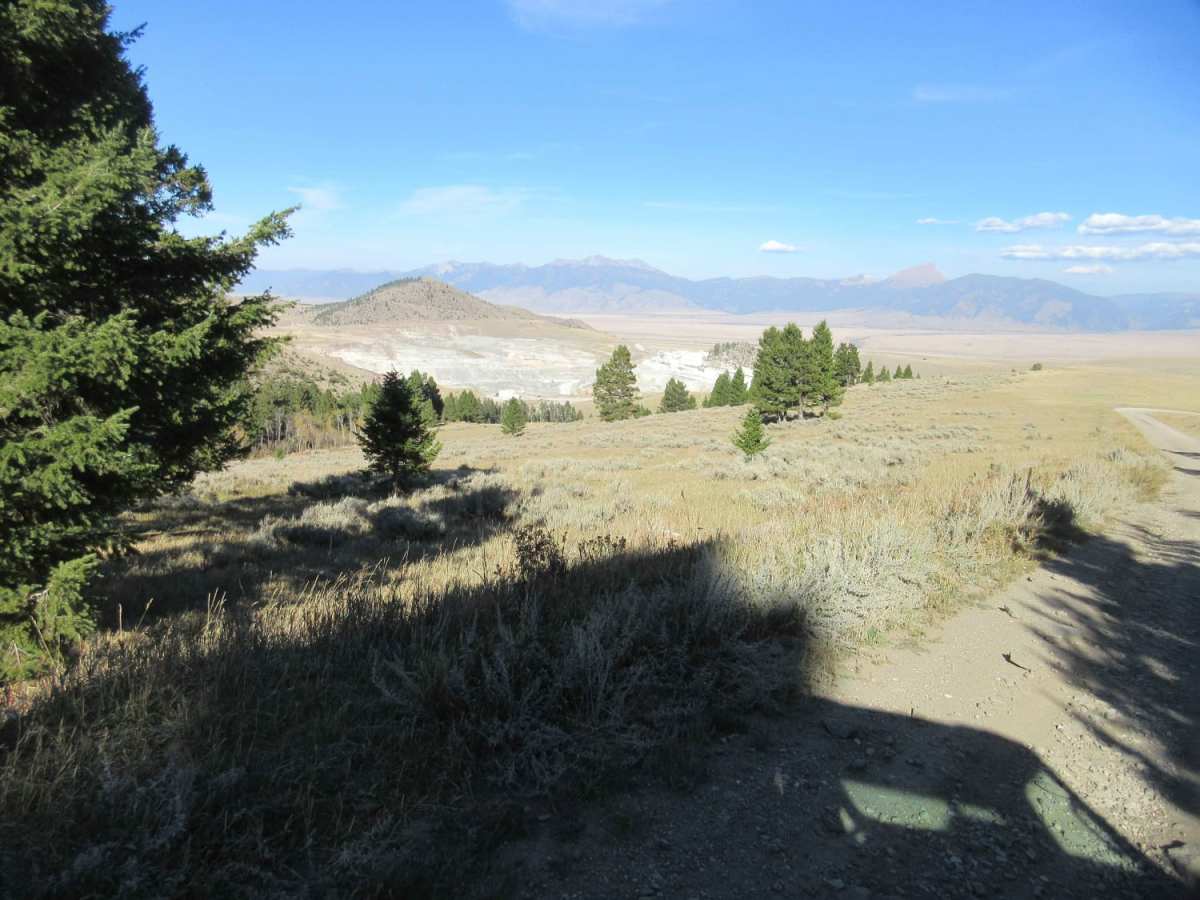
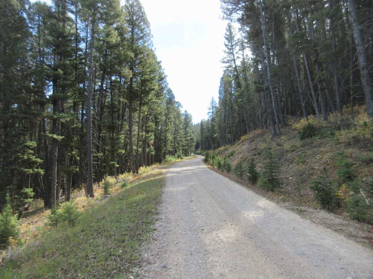
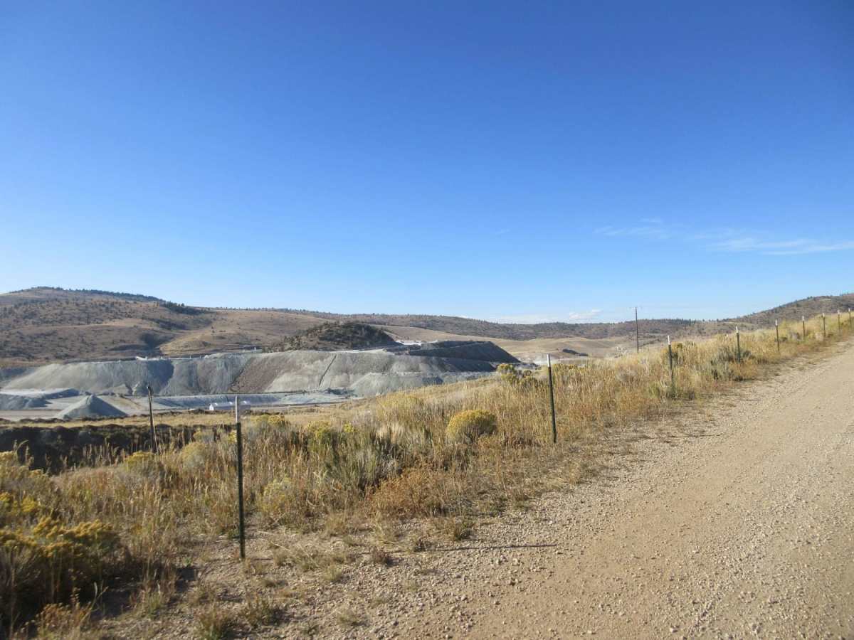
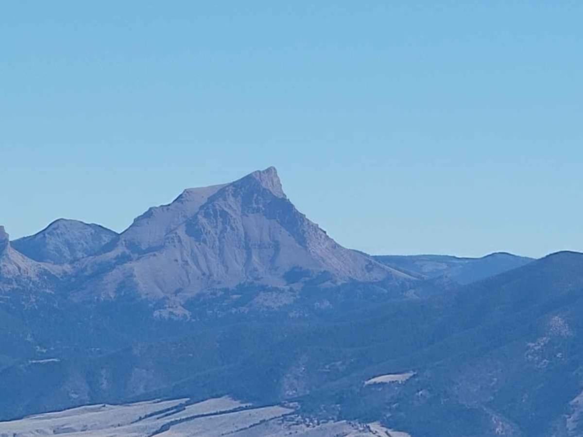
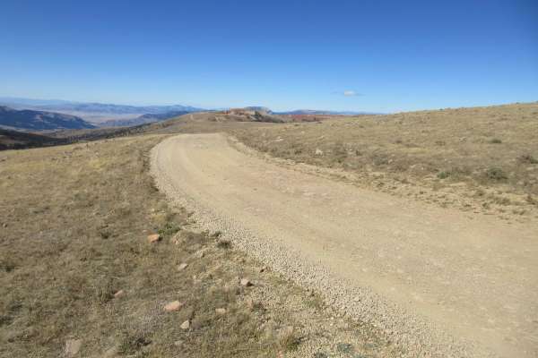
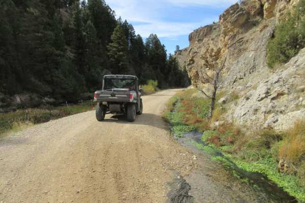
This trail offers either an opportunity to leave the ridge on Gravelly Range Road and descend to a trailhead at McAtee Bridge near State Highway 287 or to climb up to Gravelly Range Road. This review will assume you are using this as a trailhead starting your adventure up to the spectacular views presented by the Gravelly Ridge Range. You will be traveling past a talc mine and traveling on private property for the initial ascent so please be respectful of the property and the trucks also using the road. The trail above the private property is a little rocky and there are cattle and wild animals in the area. A short turnout, that is not to be missed, has been included in the track. Views from this turnout are spectacular and don't miss the two shark teeth mountains across the valley. There has been significant work along the trail with large piles of trees stacked for removal or burning once winter sets in. This is a great way to get up on the ridge line and explore.
Difficulty
The trail is somewhat rocky and there are a couple of climbs that can be a little challenging. Most high clearance vehicles should have no trouble with due care is taken. During hunting season, you will find hunters camping along this road.