
Beginner Off-Road Trails
Near Delevan, New York
Explore All Beginner Trails Near Delevan, New York
Beginner Off-Road Trails Near Delevan, New York
Discover the best beginner-friendly off-road trails near you. These easier, lower-rated trails are a great place to start — browse trail maps, check difficulty ratings, and find your next adventure.
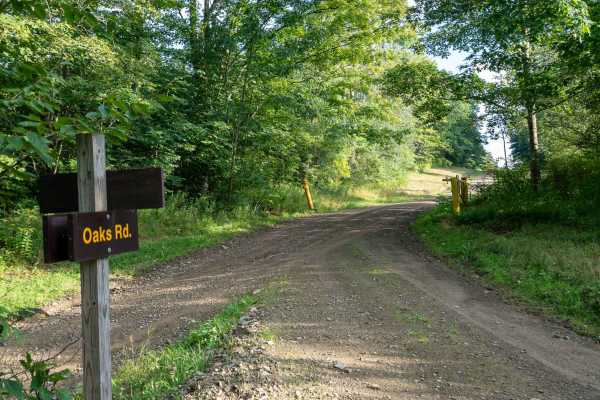
Oaks Road
Oaks Road is a wide, open dirt track that offers a very smooth and easy drive through the forest. The trees sit well back from the road in many sections, making this a good option for larger vehicles. Along the way, you'll find several open views of the surrounding rolling hills as the road graduall...
Learn more about Oaks Road
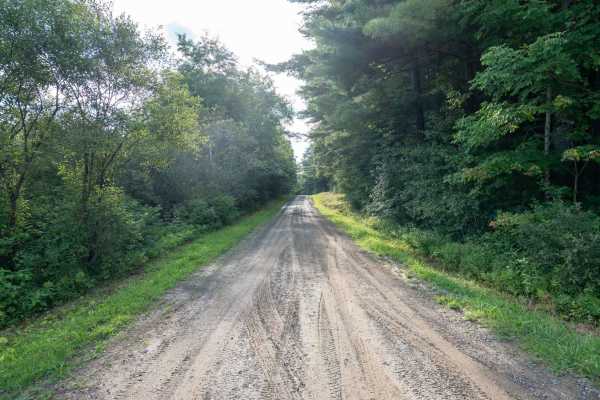
Briggs Road
This very smooth dirt road winds through Crab Hollow State Forest, offering an easy and peaceful drive through the woods. Along the way, you’ll pass beautiful swamp and bog areas that provide excellent opportunities for birdwatching; there is also access to hiking trails along the route.
There is s...
Learn more about Briggs Road
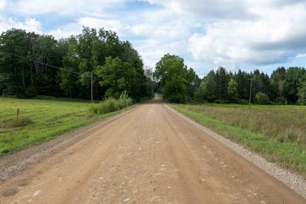
New Hudson Road
This wide, smooth dirt road starts through open meadows in the state forest before gradually transitioning into thicker woods as you head north. The road remains smooth and easy to navigate throughout, offering a peaceful drive through changing scenery. Along the way, the route passes beside a beaut...
Learn more about New Hudson Road

Eagle Forest Road
This trail starts as an easy gravel track before climbing a bumpy hill into McCarty State Forest. The climb is moderately steep with loose gravel that can become slick after rain, so traction may be reduced in wet conditions. At the top, the road continues toward beautiful views of the surrounding h...
Learn more about Eagle Forest Road
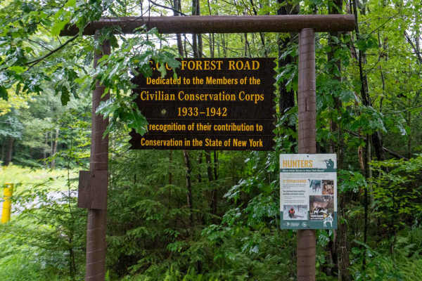
CCC Forest Road
This packed gravel road cuts deeper into the heart of McCarthy State Forest and offers a smooth, peaceful drive through the woods. The road is in excellent condition and noticeably smoother than Mutton Hollow Road, which provides access to this route. Along the way, the forest opens up in places to ...
Learn more about CCC Forest Road

McCarty Hill East Forest Road
This smooth dirt-and-gravel road provides access to the McCarty State Forest trailhead and several hiking trailheads along the way. The route follows alongside a ravine, with nice views of the surrounding hills and open sky to the right. The surface remains smooth for most of the drive, with only a ...
Learn more about McCarty Hill East Forest Road

Mutton Hollow Road
This hard-packed gravel road provides an easy and scenic drive into the forest, with a few rocky and bumpy sections along the way. As you continue, you’ll encounter some larger potholes and dips, so take your time through these areas. A small offshoot climb on the left leads to a nice level campsite...
Learn more about Mutton Hollow Road

Little Rock City Forest Road
This smooth gravel and dirt road winds beneath a heavy tree canopy, offering an easy and scenic drive through the forest. There are some mild bumps along the way, but the road is in great shape and remains very easy to navigate. The route provides access to a really unique hiking area with large roc...
Learn more about Little Rock City Forest Road
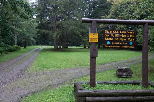
Hungry Hollow Road
This trail starts as a smooth dirt and gravel road climbing into the forest, with private land on both sides of the beginning section before entering state forest land. Be sure to stay on the main road and respect all posted property boundaries. The route rolls over gentle hills before descending ba...
Learn more about Hungry Hollow Road

Salamanca Forest Road
This gravel road travels through state forest land and becomes bumpy fairly quickly, with a rougher surface than Little Rock City Forest Road. Expect some ruts and uneven terrain that can make for a rough ride, although there are no significant technical obstacles. As with many seasonal roads in thi...
Learn more about Salamanca Forest Road

Eckert Road
This dirt and gravel road is mostly smooth and easy to navigate, winding through a beautiful forest with a heavy tree canopy and plenty of shade. The road can become slick and mushy after heavy rain, so conditions may change quickly when wet. The dense forest and secluded setting make this a great r...
Learn more about Eckert Road
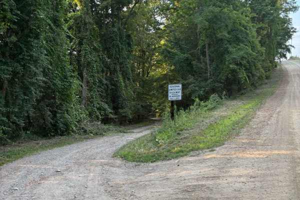
Totsline Road
This seasonal road runs along the Genesee River, offering some great views of the river before it heads into the Letchworth Gorge. It is located near River Road and East Park Road. Near the east end of the road, a piped natural spring can be found pouring out of the side of the hill. At the west end...
Learn more about Totsline Road
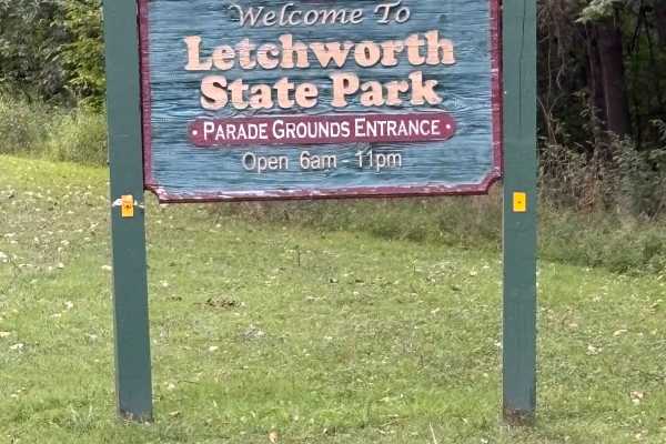
East Park Road
This road runs along the eastern edge of the gorge of Letchworth State Park. The road is closed during the winter months, but is open to the public during Spring, Summer, and Fall. The road is initially paved, but in rough shape, up to the parade grounds area. After that, it turns to dirt and offers...
Learn more about East Park Road
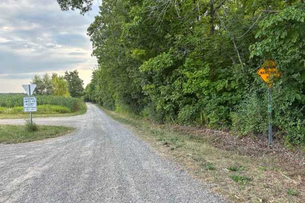
River Road
This seasonal road runs through the eastern portion of Letchworth State Park. Letchworth State Park is a canyon with several waterfalls and attracts tourists from far and wide. This road is not one of the main roads and does not require payment to access. This road offers access to several hiking tr...
Learn more about River Road
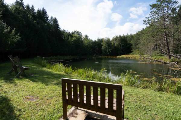
Rehler Forest Road
This easy dirt and gravel road leads into the forest, with a beautiful, peaceful pond area available for day use from dusk until dawn near the beginning of the trail. The route then continues beneath a tighter tree canopy, offering a scenic and relaxing drive through the forest.
The road eventually...
Learn more about Rehler Forest Road
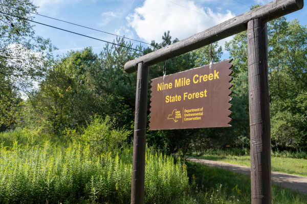
Phearsdorf Forest Road
This easy, smooth dirt road winds through 9 Mile State Forest toward a secluded campsite. The route starts fairly open before gradually becoming more wooded, with a heavier tree canopy closing in overhead as you continue. The road remains smooth and easy to navigate throughout, making for a peaceful...
Learn more about Phearsdorf Forest Road
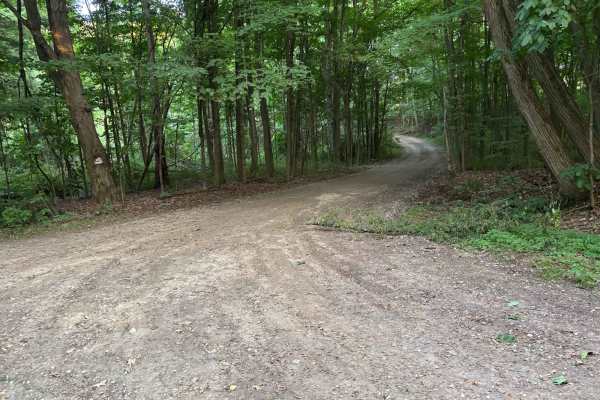
Williams Road
On the western end, this seasonal road grants access to Letchworth State Park and River Road. Some interesting signs can be found along the road. The vegetation in some spots narrows the road and can make it difficult to see oncoming traffic. The eastern intersection of the road also grants parking ...
Learn more about Williams Road
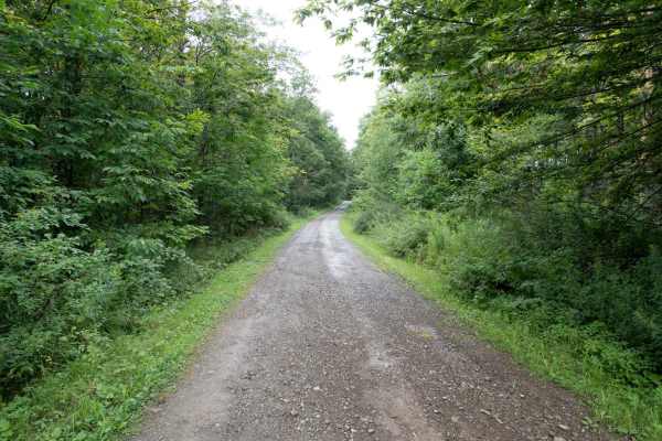
Stone Tower Road
This dirt and gravel track heads into the forest with a few rutted potholes that make for a slightly bumpy ride, but there are no technical obstacles. When dry, the road is very easy to navigate, but heavy rain can quickly make it slick and rutted. There are some beautiful views of the surrounding h...
Learn more about Stone Tower Road
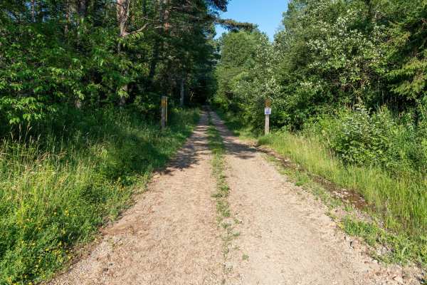
Gordon Forest Road
This very smooth dirt road travels through the state forest, offering an easy and enjoyable drive as it steadily climbs uphill. The route is well maintained, with only one small tree across the road that can be easily driven around. Surrounded by forest, it's a peaceful drive with no significant obs...
Learn more about Gordon Forest Road
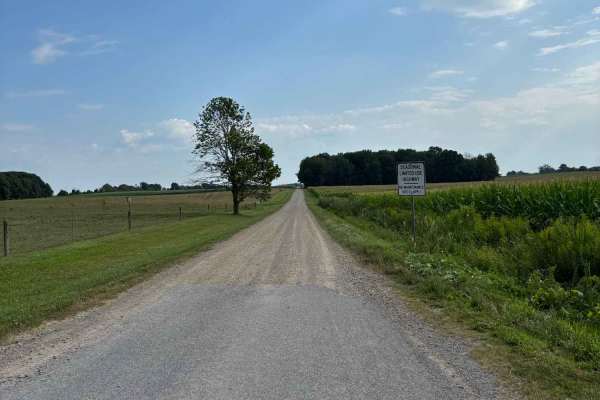
Van Valkenburg Road
This is a north/south road west of Perry Center. There are horse and cow farms at the north end. Scenic views of the low rolling hills can be found on either end on clear days. The road is a great addition to any route if you are coming from the west, heading to Letchworth State Park or other destin...
Learn more about Van Valkenburg Road
Beginner ATV trails near Delevan, New York
Explore ATV-friendly trails near you. These trails are accessible for vehicles up to 50 inches wide, perfect for ATVs and smaller off-road machines.

Tuttle Road
This seasonal road branches off of Turnpike State Forest Road and travels through Turnpike State Forest. This road allows ATVs and SXS, but dirt bikes are prohibited. The road is mostly wooded, but it does open at the south end where it intersects with a paved road. It is in good shape and not much ...
Learn more about Tuttle Road
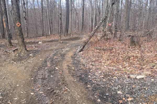
Mouse 2
This is a short, tight trail that will lead you through a nice section of woods. You will be able to complete this trail with any type of machine, whether it is a 22-wheeled drive or 4-wheel drive. All sizes Atvs and side-by-sides we'll be able to fit also.
Learn more about Mouse 2
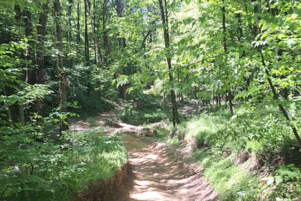
Jones Town Creek
This trail takes you down to a nice parking space next to a small creek. Please note that they do not want you in the creek with you machine. When you pull out of the trail system you will have a hill that you will need to go up. This hill can be slick when it it wet. Some two wheel drive rigs spin ...
Learn more about Jones Town Creek
Mouse
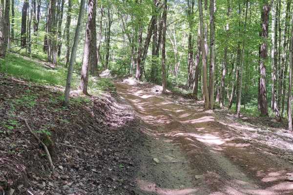
This is a quick little trail that takes you through some pines. There is no real difficulty so it is good for all-size machines.
Learn more about Mouse
Beginner UTV/side-by-side trails near Delevan, New York
Find UTV and side-by-side trails near you. These trails accommodate vehicles up to 60 inches wide, ideal for UTVs, side-by-sides, and wider off-road rigs.
Tuttle Road
This seasonal road branches off of Turnpike State Forest Road and travels through Turnpike State Forest. This road allows ATVs and SXS, but dirt bikes are prohibited. The road is mostly wooded, but it does open at the south end where it intersects with a paved road. It is in good shape and not much ...
Learn more about Tuttle Road
Mouse 2
This is a short, tight trail that will lead you through a nice section of woods. You will be able to complete this trail with any type of machine, whether it is a 22-wheeled drive or 4-wheel drive. All sizes Atvs and side-by-sides we'll be able to fit also.
Learn more about Mouse 2
Jones Town Creek
This trail takes you down to a nice parking space next to a small creek. Please note that they do not want you in the creek with you machine. When you pull out of the trail system you will have a hill that you will need to go up. This hill can be slick when it it wet. Some two wheel drive rigs spin ...
Learn more about Jones Town Creek
Mouse
This is a quick little trail that takes you through some pines. There is no real difficulty so it is good for all-size machines.
Learn more about Mouse
The onX Offroad Difference
onX Offroad combines trail photos, descriptions, difficulty ratings, width restrictions, seasonality, and more in a user-friendly interface. Available on all devices, with offline access and full compatibility with CarPlay and Android Auto. Discover what you're missing today!
Open Trail Map